When life gives you lemons, make lemonade. When it rains repeatedly for many weeks, photograph moving water. And I did. Perhaps my love of moving water stems from the fluid dynamics courses I took way back when.
Here are the streams and rivers I photographed between June 26 and July 26, 2023.
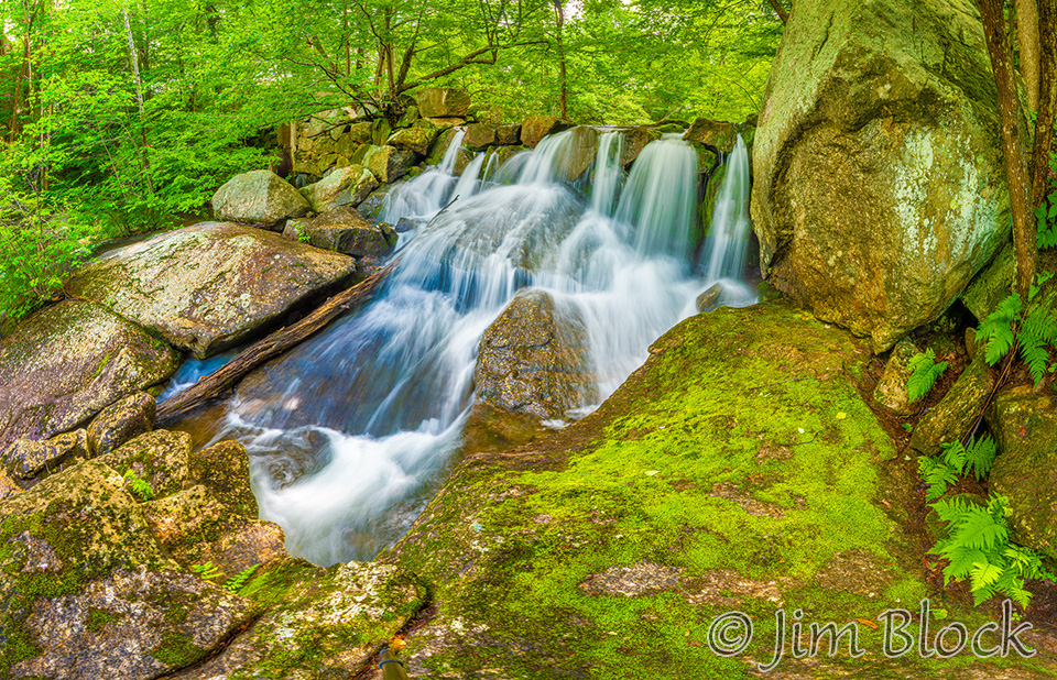
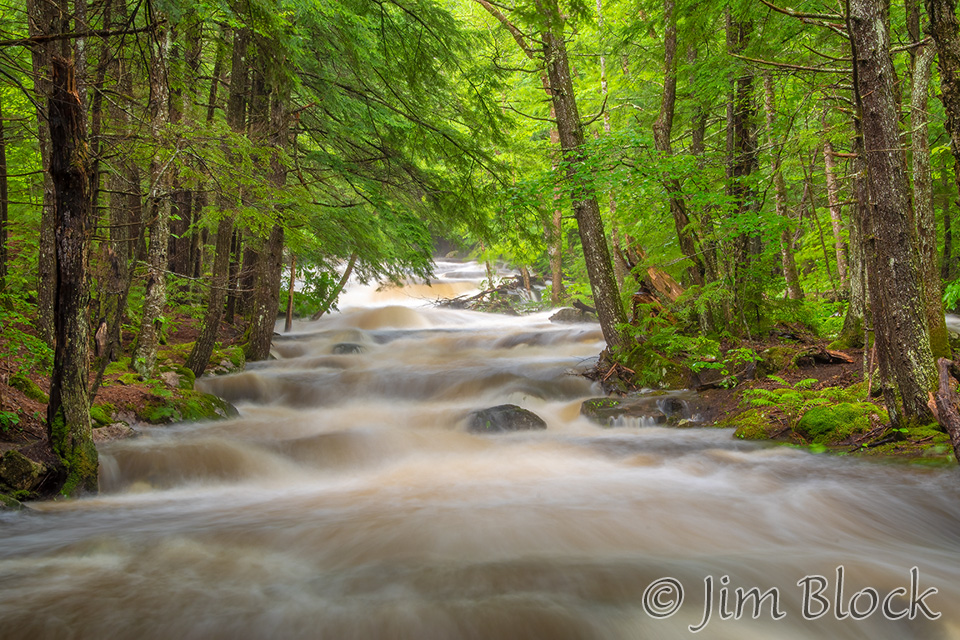
Sunapee
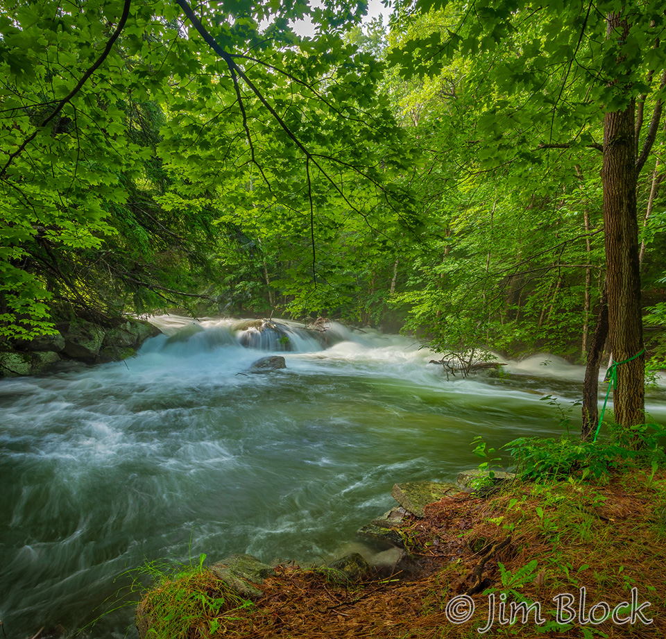
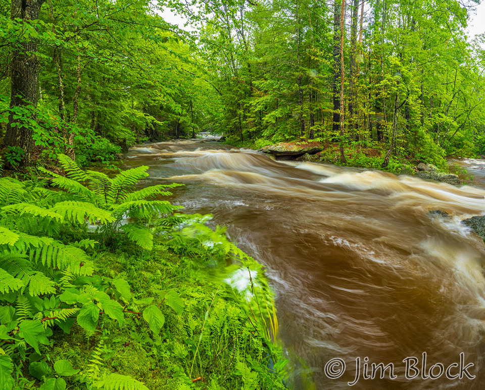
The falls along the Sunapee Harbor Riverway were full but not overly so when I first visited in late June, as seen in the photos above and below.
But compare the photo immediately above with the one below taken from a similar spot but much farther back on July 5. All the foreground rocks in the earlier photo are now submerged.
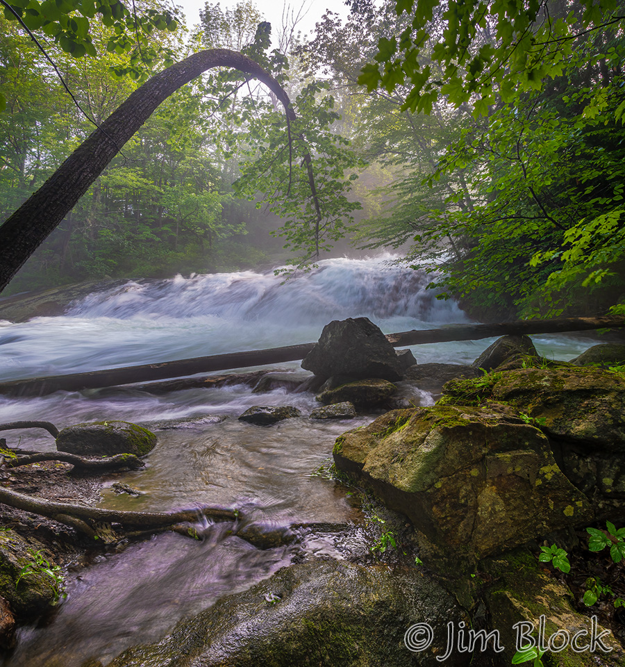
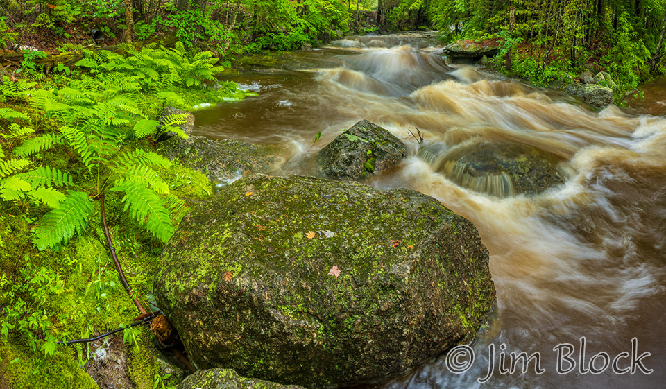
Here is another view of the same falls. In late June I was able to stand completely dry on the other side of the fallen trees in the middle of the photo.
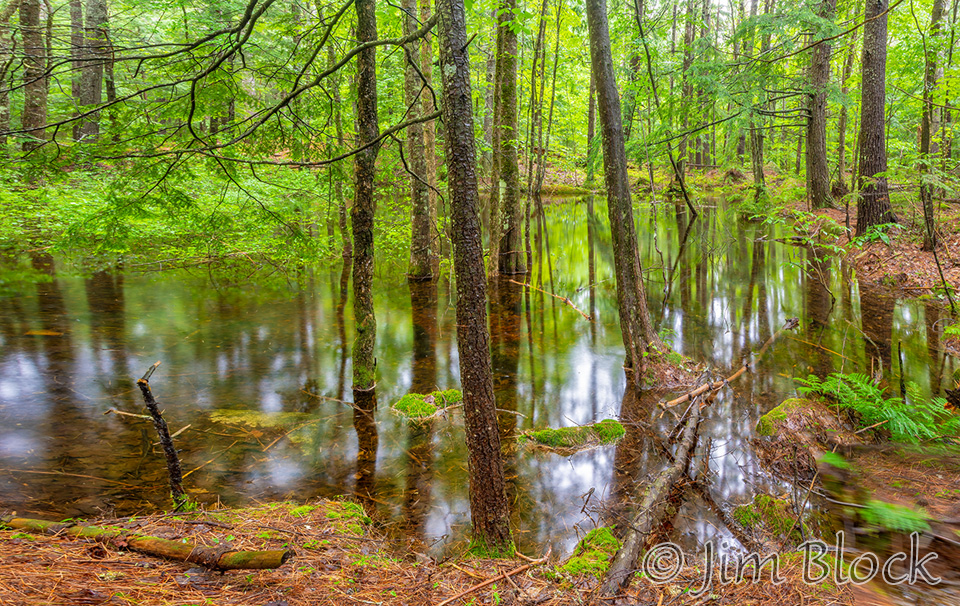
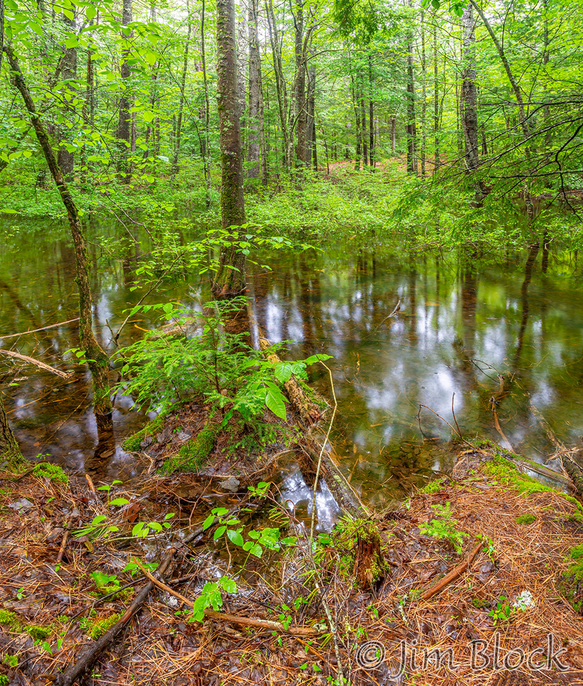
Backing up farther away from the falls, I took this photo showing that the normally dry woods downstream were flooded.
Below is another before and after pair, although I moved to the other side of the overhanging tree. You can see the mist in the air from the raging water in the second photo.
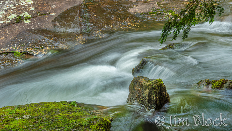
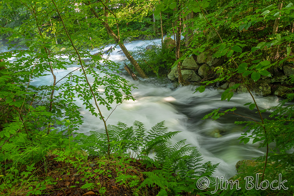
Below are two more photos from a bit farther downstream but still along the Riverwalk.
I headed down to Lower Main Street and took these photos.
You can see more photos of the falls below Lake Sunapee from 2015 if you CLICK HERE.
Danbury
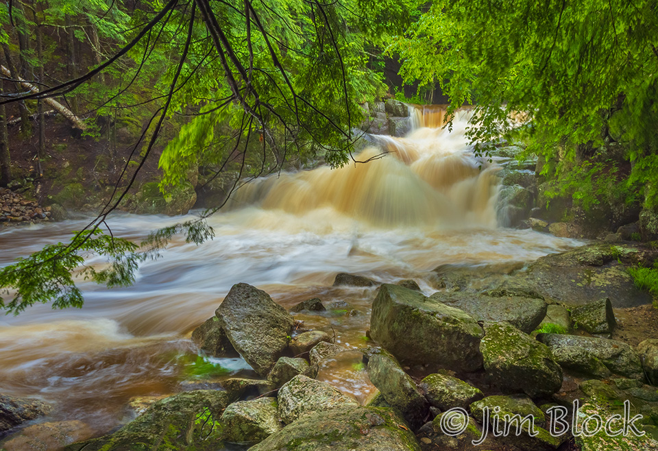
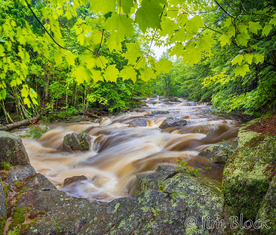
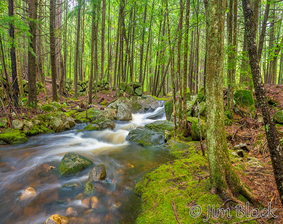
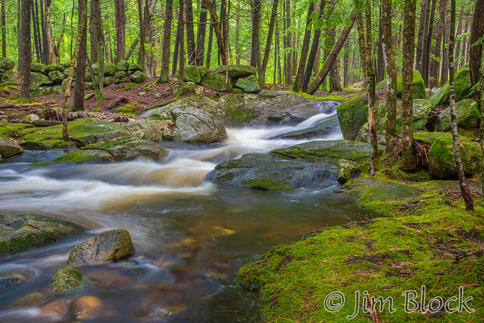
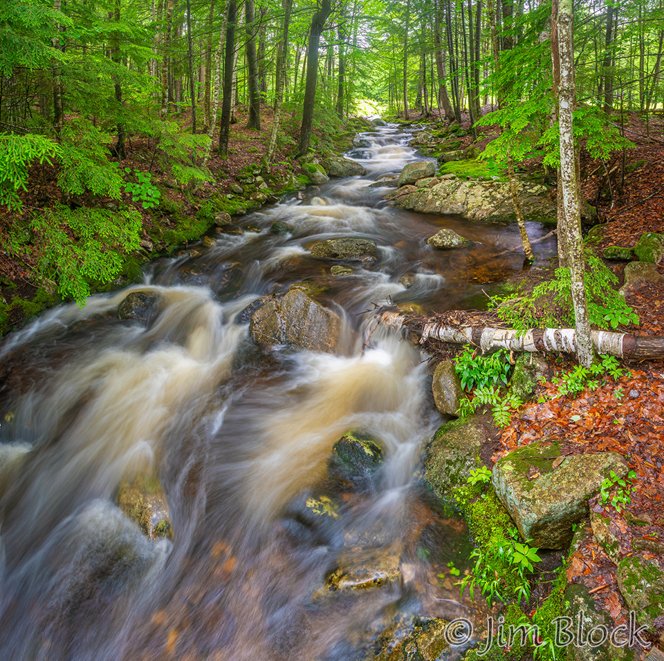
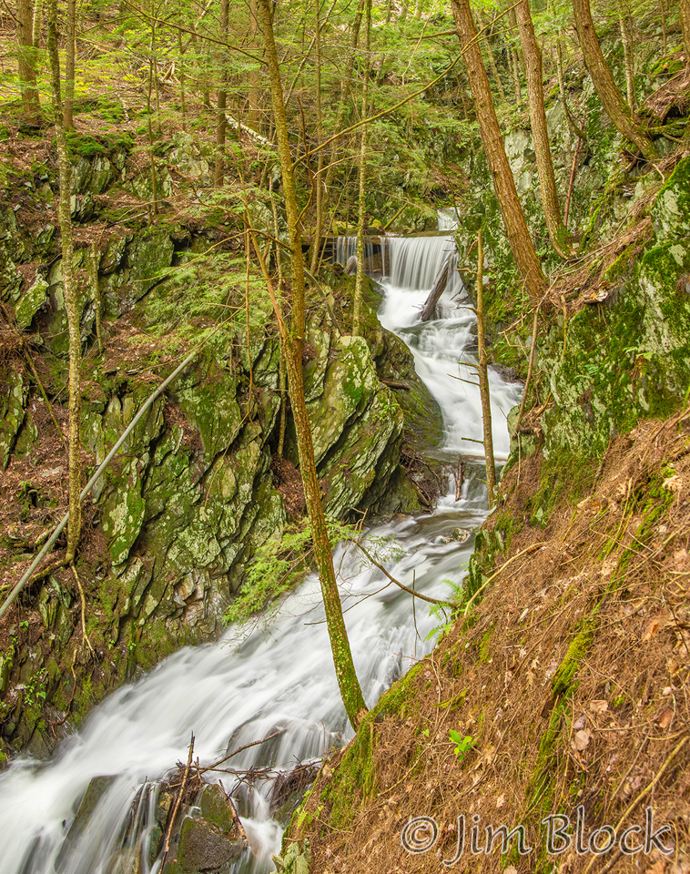
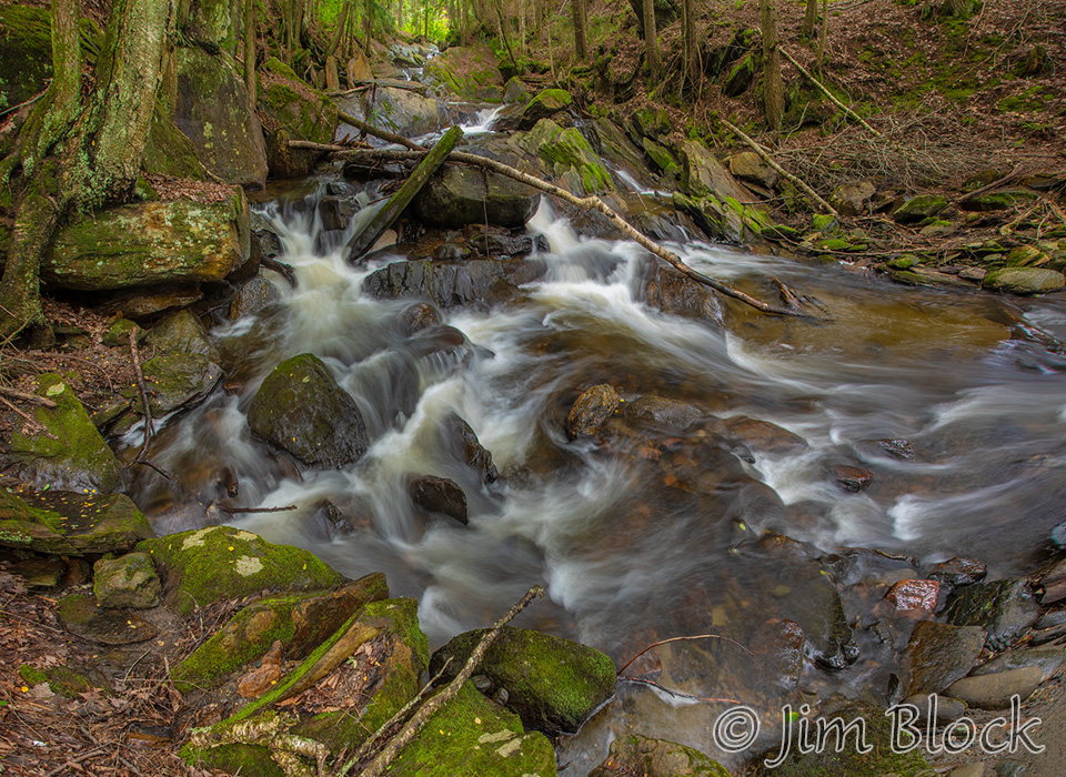
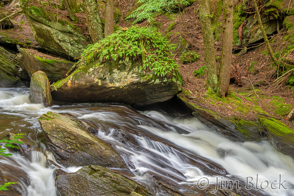
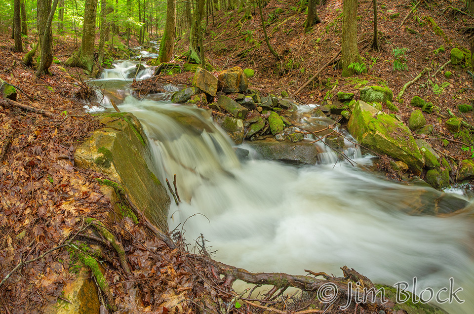
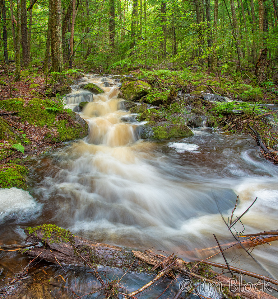
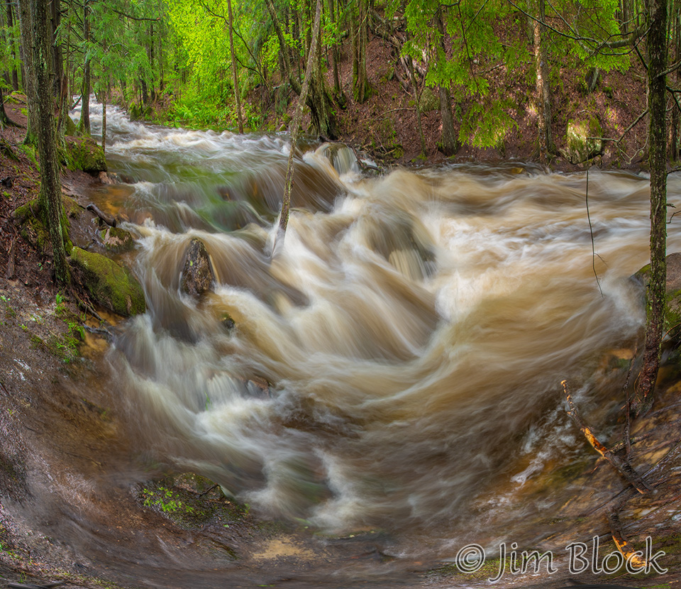
Walker Brook in Danbury can be beautiful when it is running full, as it was when I visited in late June. I photographed the brook for about a mile along the aptly named Walker Brook Road. I took this photo near the southern end.
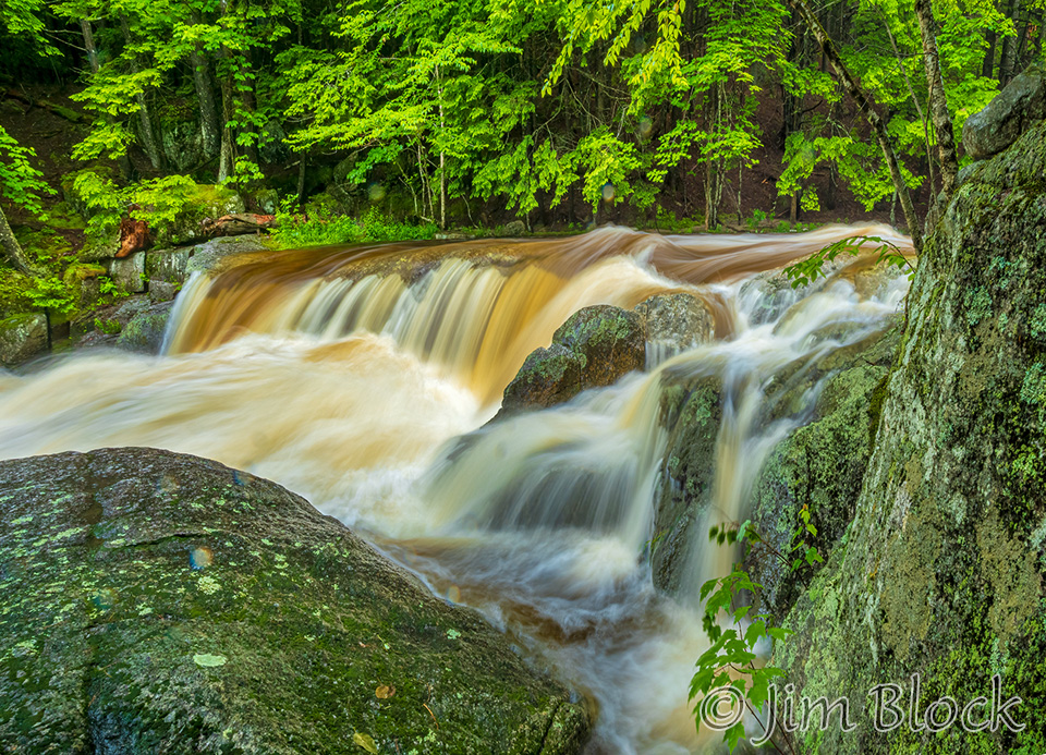
You can see an upstream falls above the main falls in this photo. Below is a look at that falls from a position a bit upstream.
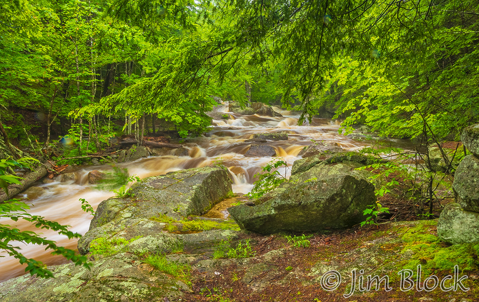
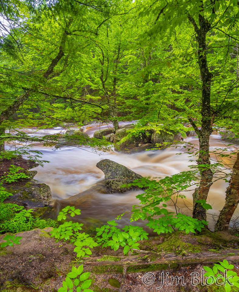
A short distance upstream yields these views of the brook.
The little island in the photo above seen from the road is below.
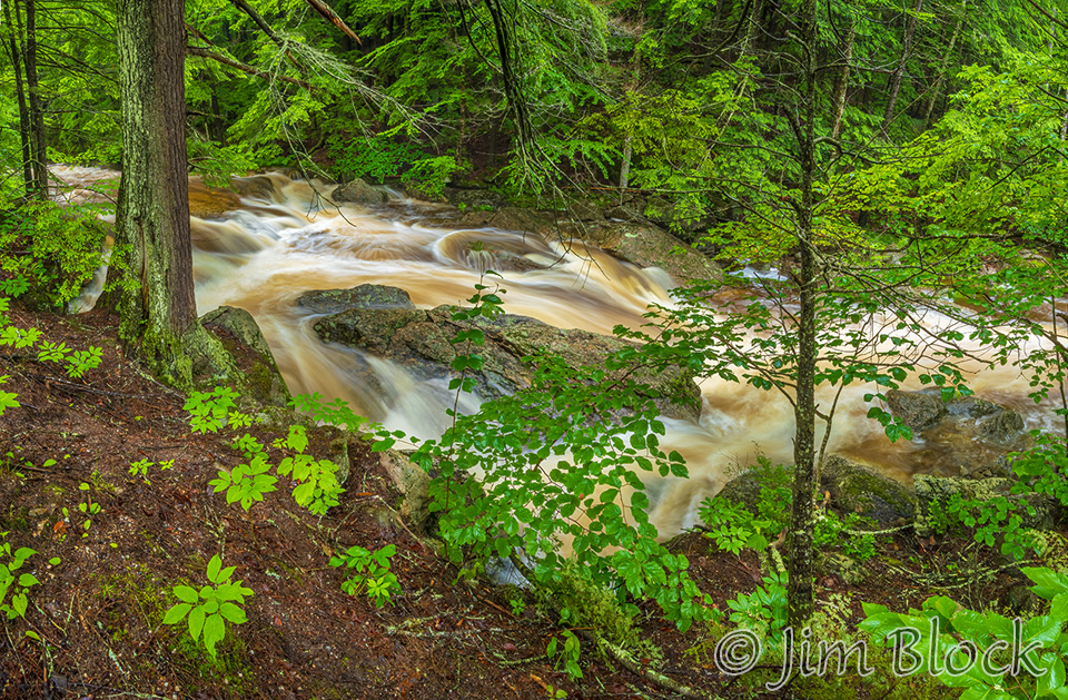
I worked my way upstream and took the photo below from a short distance below the road.
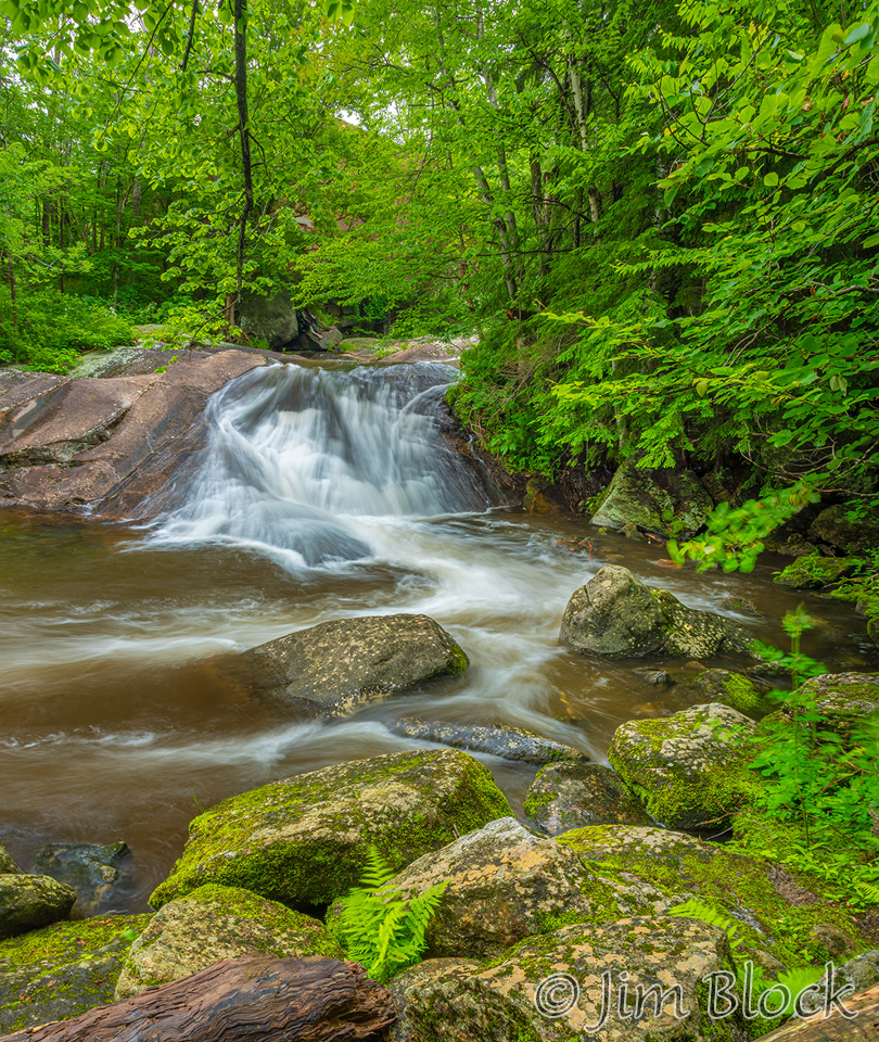
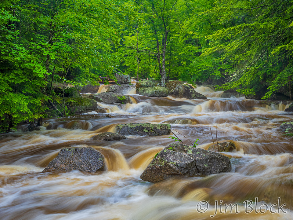
A good distance upstream I photographed these falls.
Nearby was a tree that looked like it had been hit by ice many times.
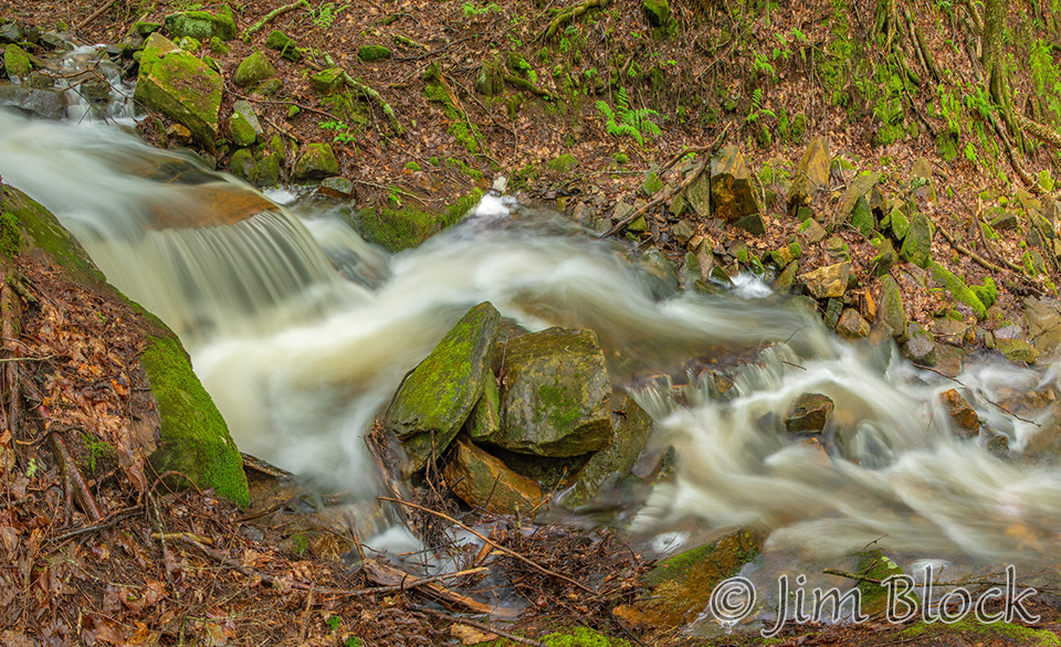
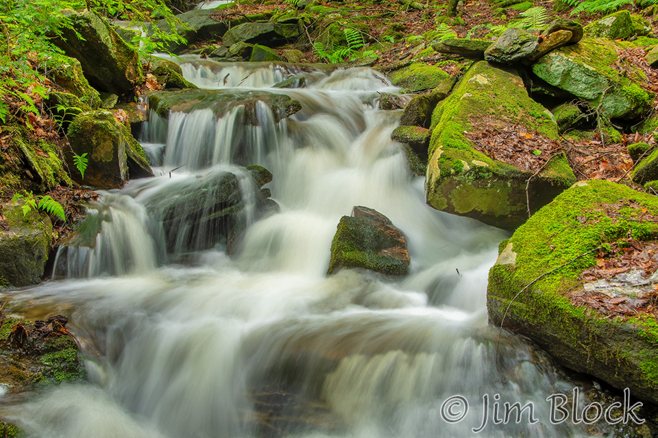
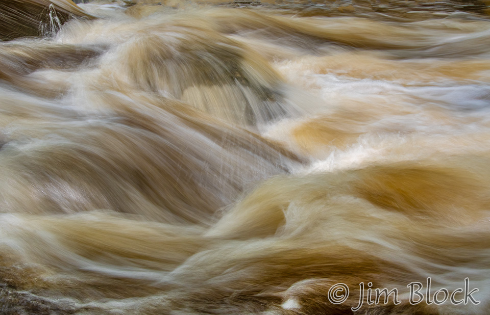
I found a spot where the brook took a 90 degree bend. I made three multi-photo images taking between 5 and 10 photos for each. Most of the images in this post are composed of multiple photos, sometimes as many as 16 like the first image in this blog.
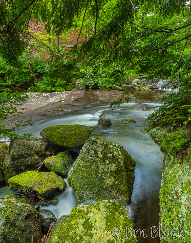
Here are seven more photos from Walker Brook.


Grantham
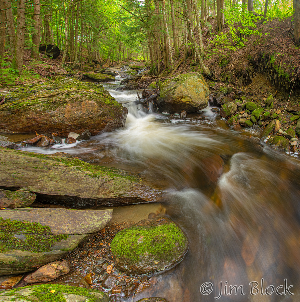
I photographed the small but charming Brookside Park in Grantham in late June and again mid-July. I did not notice a significant difference in the waterflow the two visits. Here are eight photos all taken from the parking lot side of the bridge.


New London
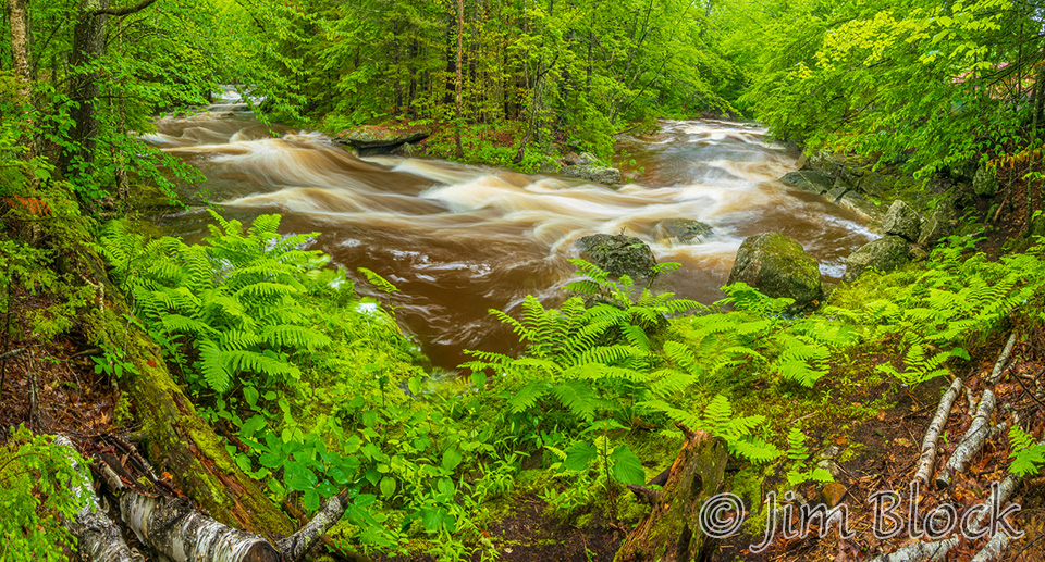
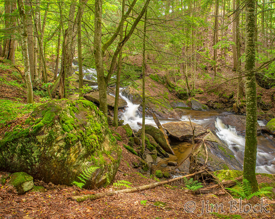
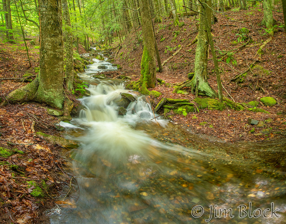
I hiked along SRK Greenway Trail 5 in early and late July to photograph Great Brook. The waterflow was significantly less in late July.
Conditions for photography were much better in early July. I picked an overcast day. In late July the date was set by a planned hike with friends. We had a great hike up to Devil’s Half Acre Pond and then back via Morgan Hill and the Dura Crockett Trail. But the day was sunny and photographing moving water challenging.
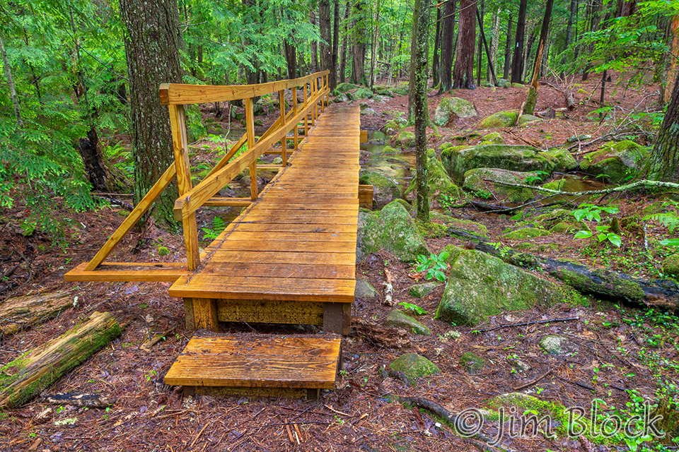
Since my last visit, some very nice bridges had been installed. Here is one.
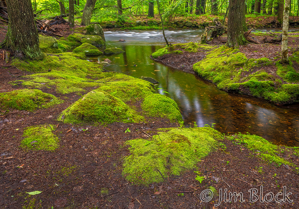
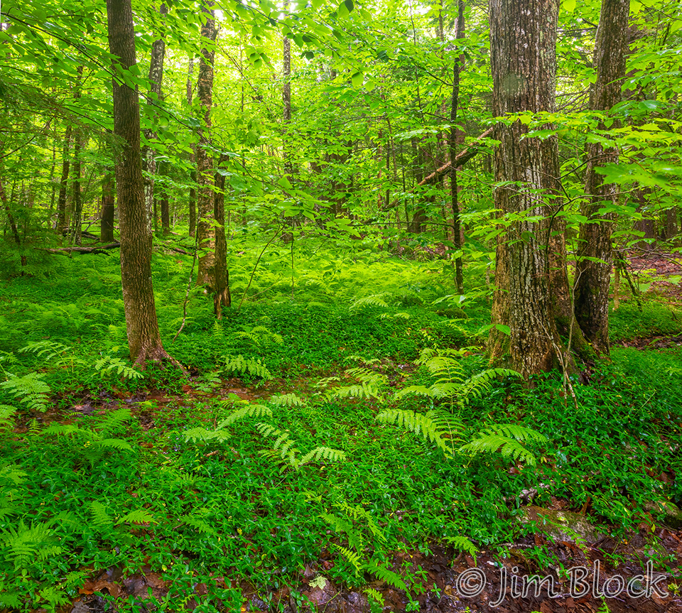
Although they do not show moving water, I liked the peaceful quiet of these three areas along Cocoa’s Path, the first segment of SRKG 5 when hiking it “backwards” (counterclockwise) as I was.
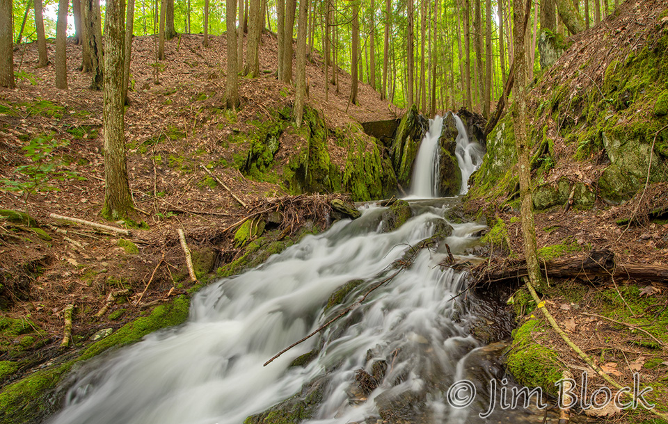
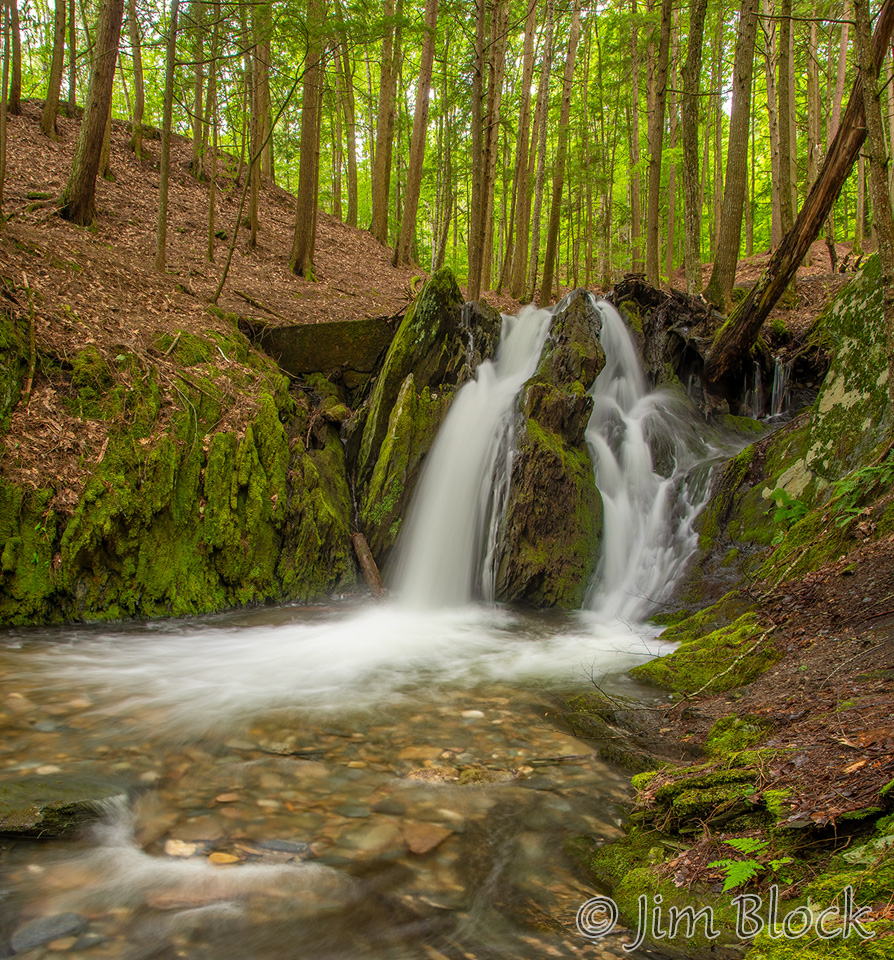
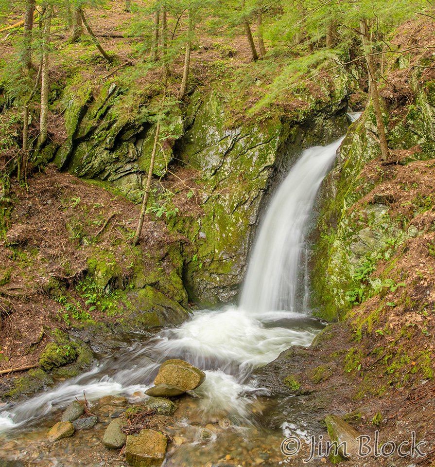
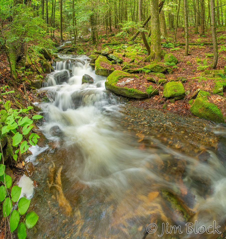
Just downstream of “Grampa’s Bathtub” is a small falls.
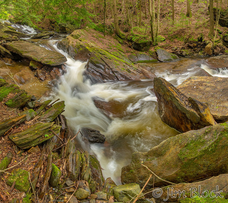
As I headed to Lower Cascades, I took more photos. Here are a half dozen.


I reached Lower Cascades after passing below some major powerlines. In the first photo you can see a small cave in the center right.
Here are four more photos from my first visit. The last two are from the cutoff to Pingree Place.
During my second visit, the hike to Devil’s Half Acre Pond with friends, I took mainly small area photos since light was very contrasty. Here are seven photos. The first is a lower part of Great Brook, the next three are near Upper Cascades and Devil’s Half Acre pond, and the last three are along Dura Crockett Brook.


Here are more photos from SRKG 5 and Great Brook and Dura Crockett. (Click the links if you wish to see them.)
Fairlee
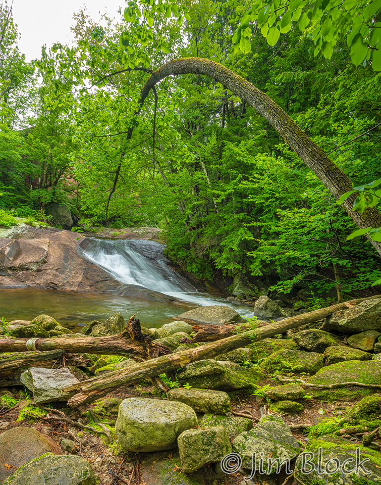
On the west side of Lake Morey are a series of waterfalls along Glen Falls Brook. There is a parking area for the brook and the Cross Rivendell Trail, which heads west over Bald Top Mountain, and a path along the brook a short distance south along the road from the boat launch. Climbing the path, which gets steeper as you get higher, you pass some dramatic waterfalls. Here is the first.
And a closer view of the first falls after a scramble down a steep bank.
Below is a 13-photo image taken as I approached the second major falls.
Then I carefully worked my way closer for two other photos.
Climbing a bit above the base of the falls, I took this photo.
Farther up was more dramatic but much harder to get a clean photo in the steep canyon.
Rather than hike back down the same trail, I cut over to the Cross Rivendell Trail and took that back to my car. That trail has a few viewpoints looking across Lake Morey. If you would like to see one view and more photos of Glen Falls Brook, please CLICK HERE.
Lyme
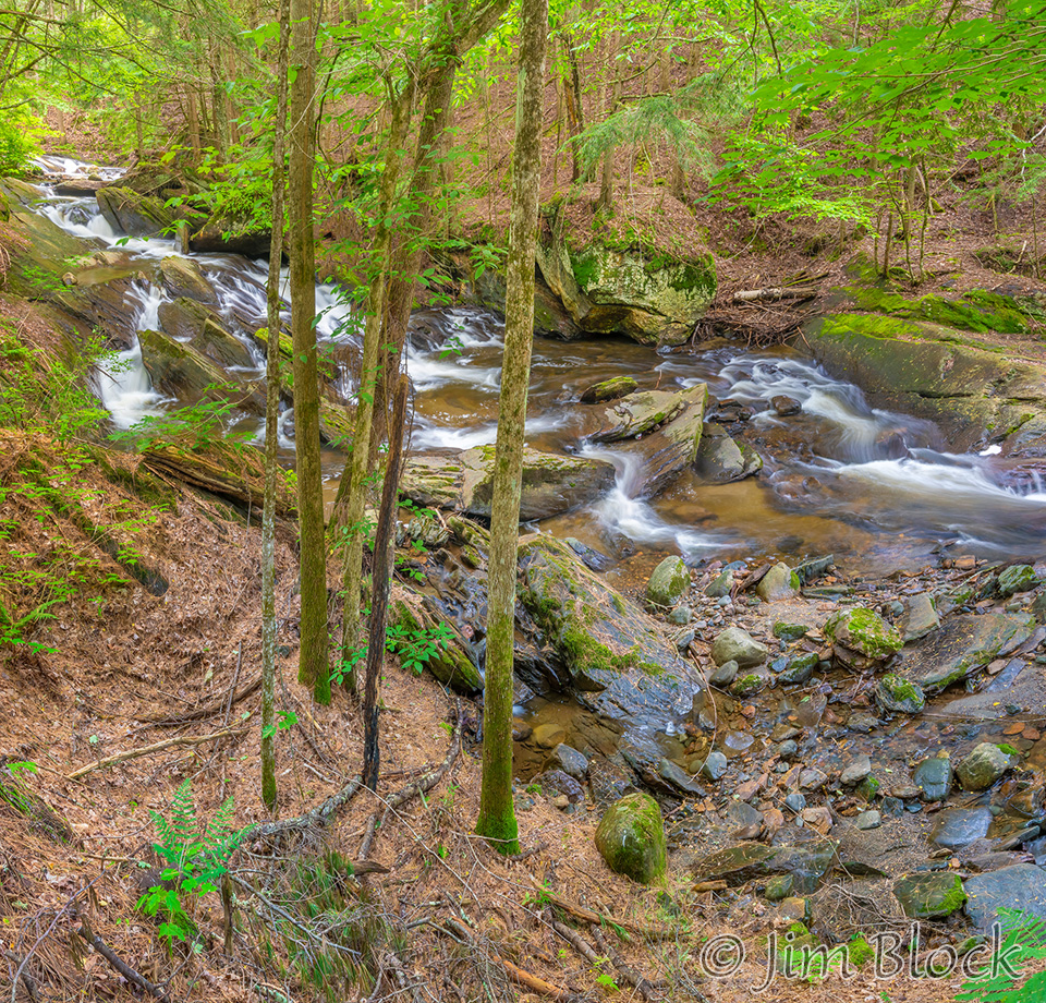
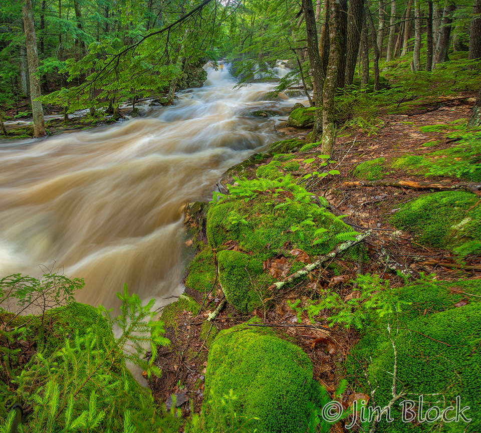
Hewes Brook crosses River Road in Lyme near Maple Drive. Parts are difficult to reach, but the lower stretches are a bit easier to navigate. I visited on July 9 and 11 finding the brook running well.
I started slowly with three detail shots.
Then I backed up and made a nine-photo image of the lower part 0f the brook.
I moved carefully upstream but still stayed close to the brook.
Upstream but a bit back from the brook, I took this photo.
Then I mover closer.
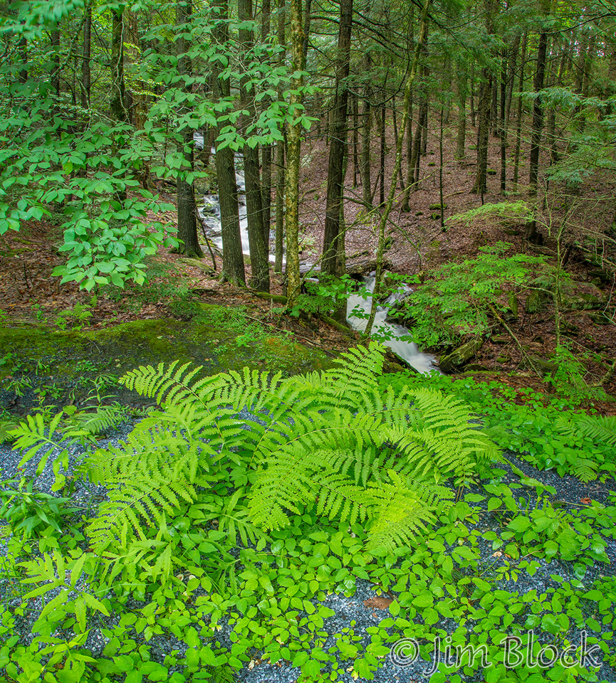
Farther upstream I found some polypody ferns. They love to grow on huge rocks.
Two days later Hewes Brook was much fuller. I made this twelve-photo panorama of the lower section. Most times one can walk right out to the rocks along the trees on the right without getting wet.
Below are two photos showing roughly the same section of Hewer Brook taken two days apart.
Below is a photo from my first visit followed by two from my second.
You can see photos of Hewes Brook and the nearby Jim and Evalyn Hornig Natural Area in Hanover in early Spring if you CLICK HERE.
Hanover
I visited Mink Brook below the beaver pond on Moose Mountain in Etna the same July 11th morning I earlier photographed both Bicknell and Hewes Brooks.
Very near where I parted along Moose Mountain Road, I took this photos of ferns with the stream in the background.
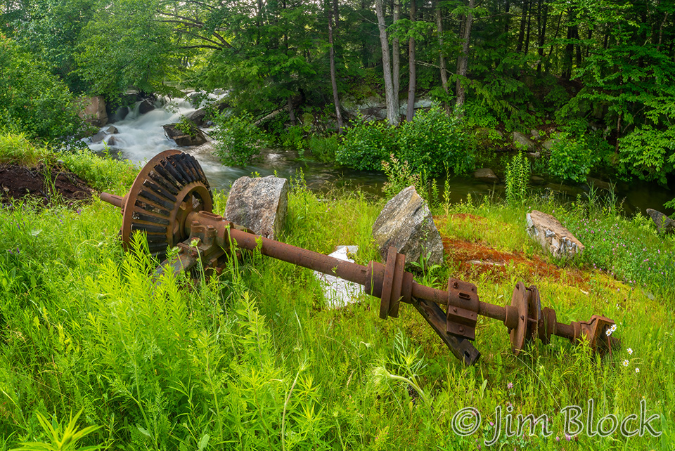
I walked into the woods a short way to the stream. This is the section below the remains of an old mill. I focused first on a small piece of the scene.
Then I made a six-photo image with a small waterfall in the foreground.
I worked my way upstream making multi-photo images as I went. I find they are better quality and can be printed much larger than photos taken with an ultra-wide-angle lens.
I finished my short visit to this spot with a photo of a small piece of Mink Brook. It was time for lunch at home, not more than three miles away. It was a great morning, over 5 hours photographing three streams in three towns, the first of these to follow immediately below.
If you would like to see more photos of the parts of Mink Brook above and below where I took these photos, you can CLICK HERE. This link takes you to some of the old mill foundations high on Moose Mountain and some very large panoramas that you can zoom into and move around to explore. One of these panoramas hangs in the offices of the Hanover Conservancy. Stop in and see it sometime. It is 30×50 in acrylic.
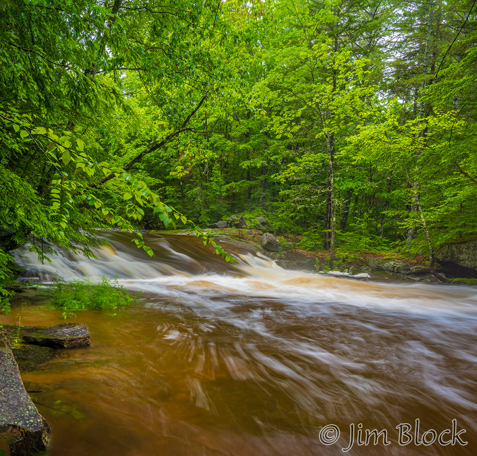
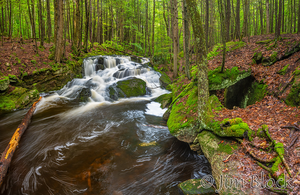
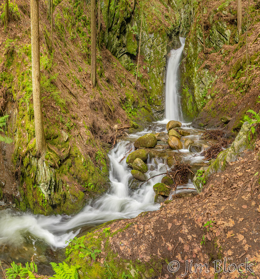
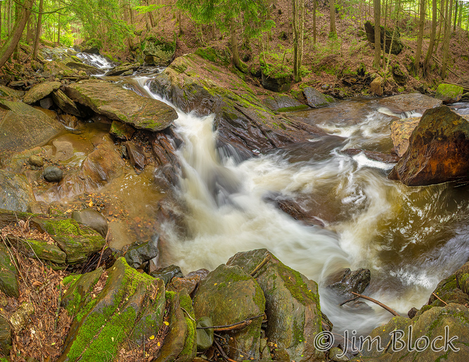
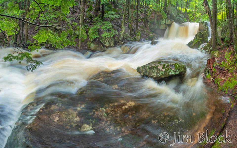
Enfield
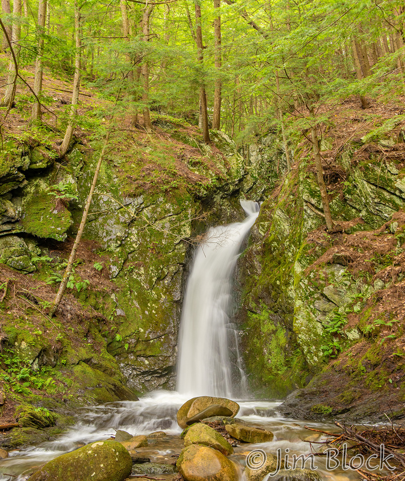
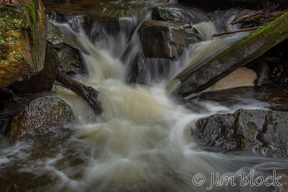
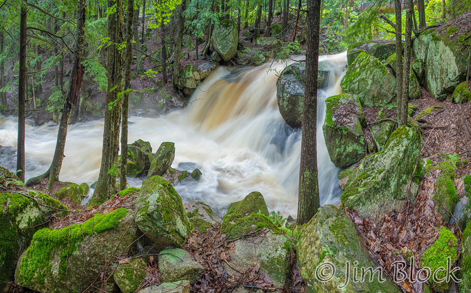
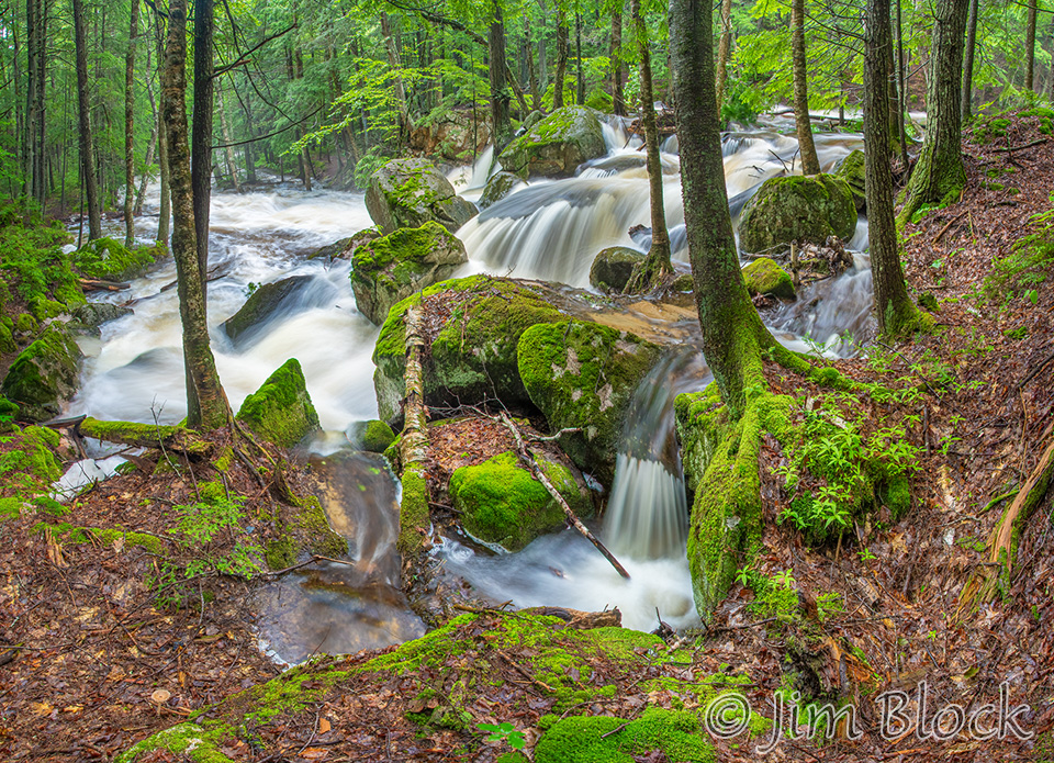
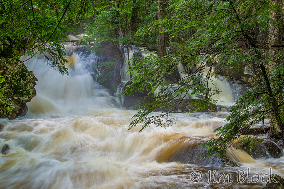
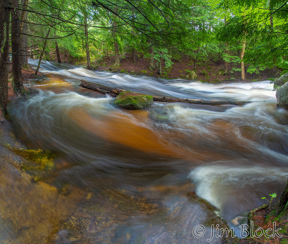
I saved my favorite location for last, Bicknell Brook. I visited it July 11, the first of three streams that busy morning. My first few photos were made of the falls just below the bridge before 7 AM.
And then more photos of the “First Falls” shortly after 7 AM.
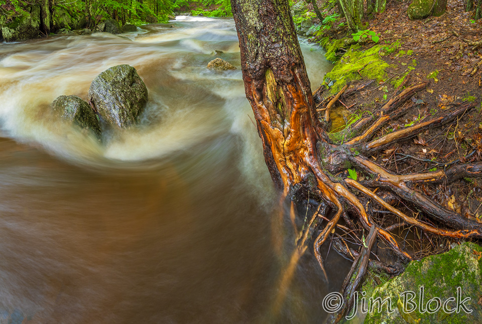
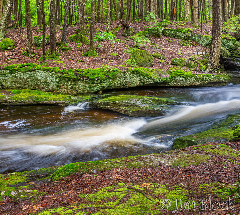
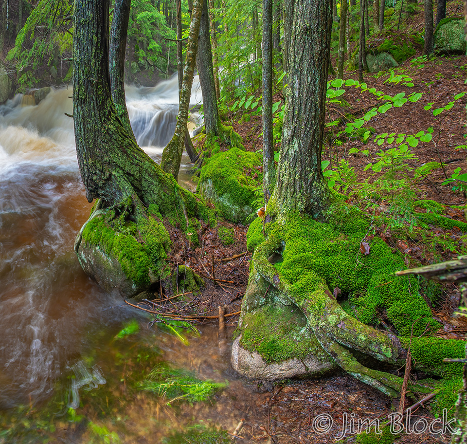
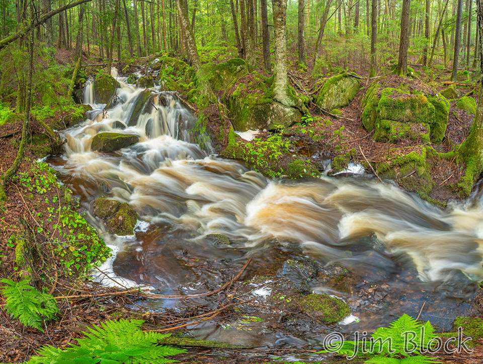
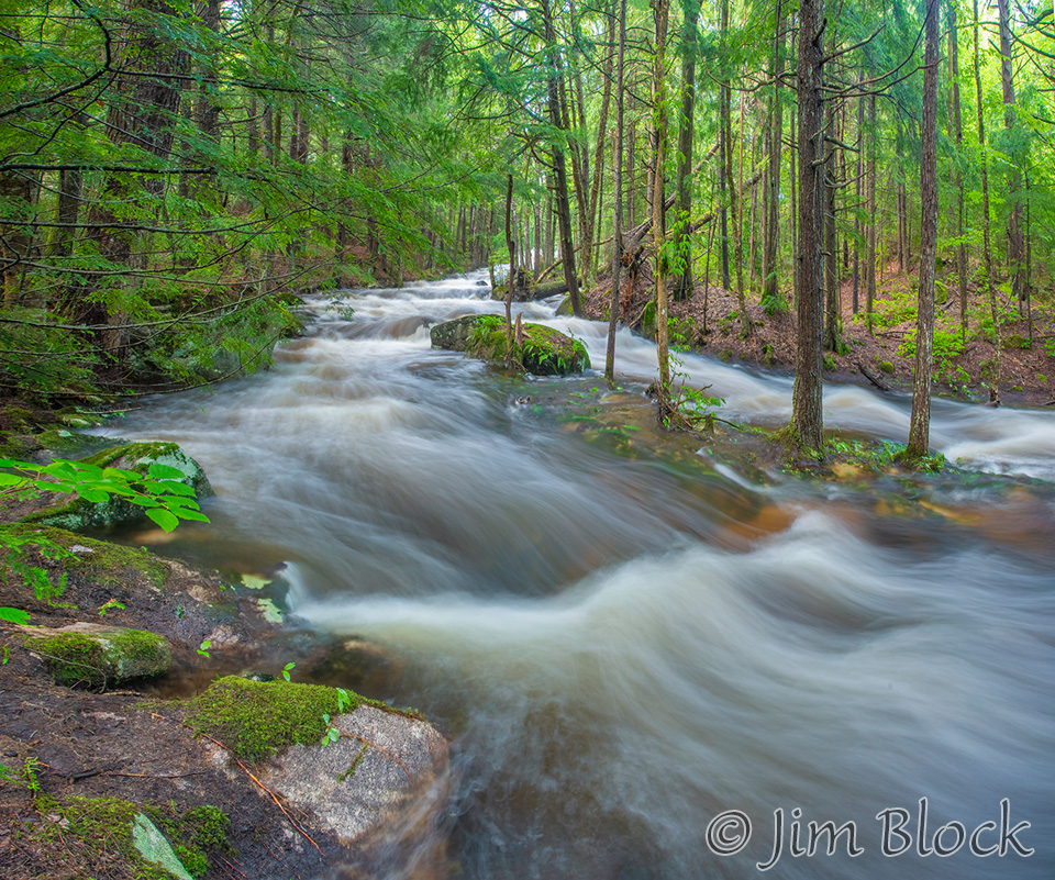
Working my way downstream, I found amazing roots and moss along the bank.
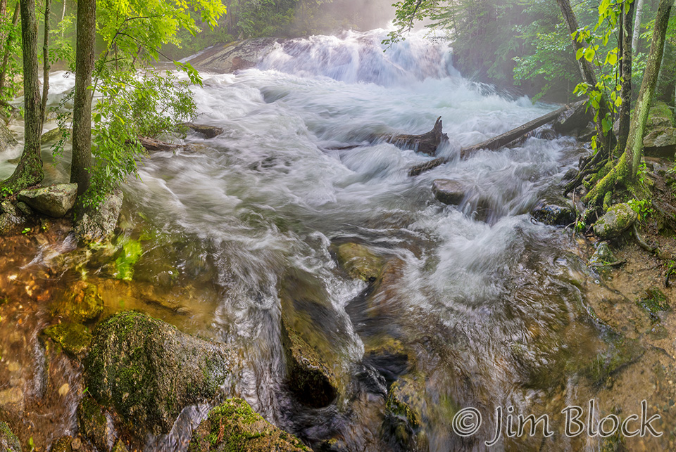
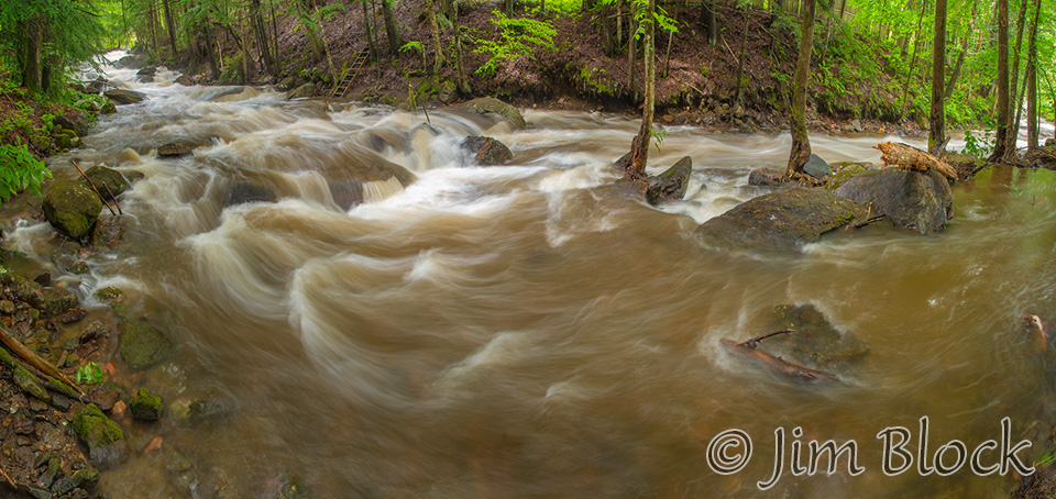
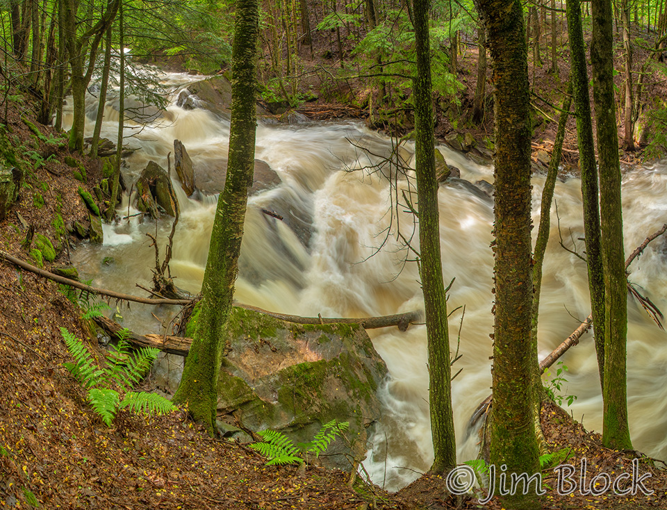
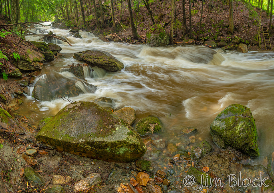
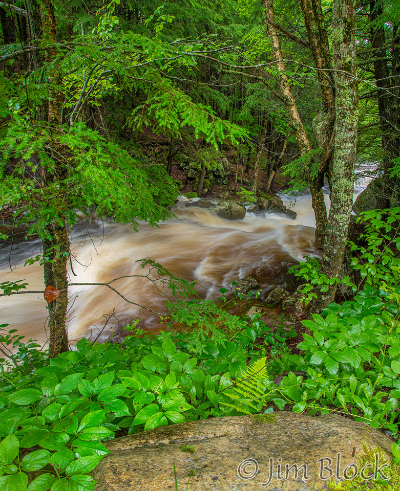
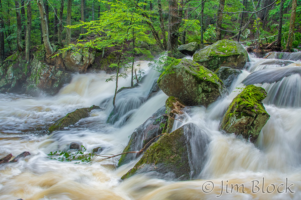
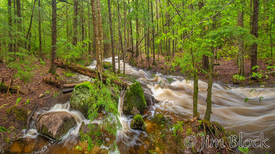
The brook was very full. It was spreading beyond its normal course.
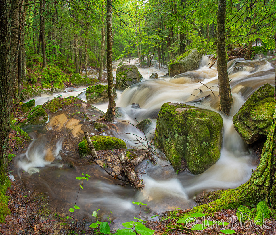
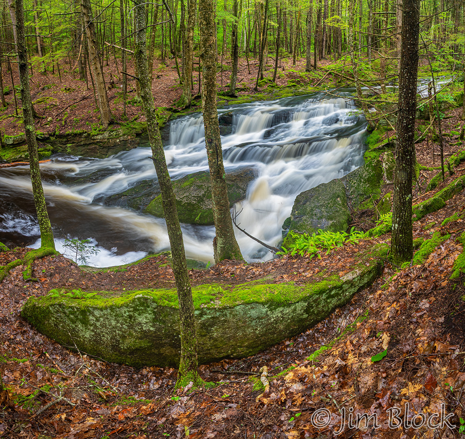
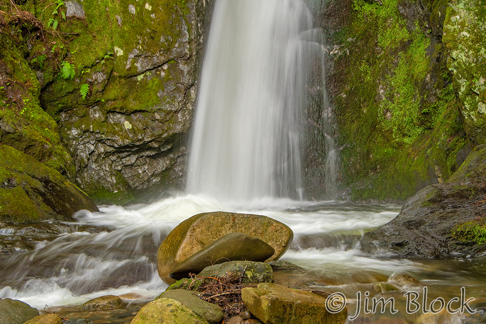
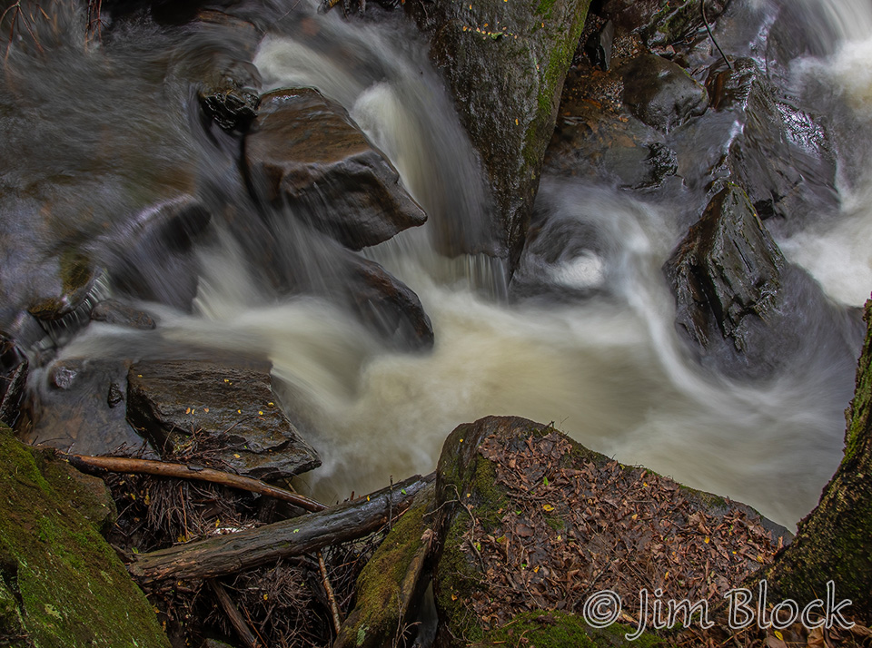
The second main falls is on the left side of the photos below. The stream does not normally cover the right side as it did this day.
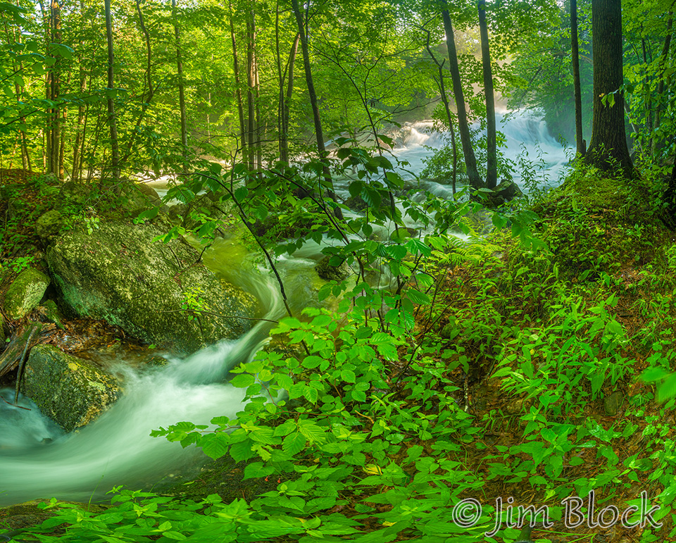
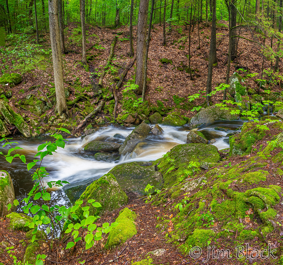
I headed over to a side stream that is normally almost completely dry.
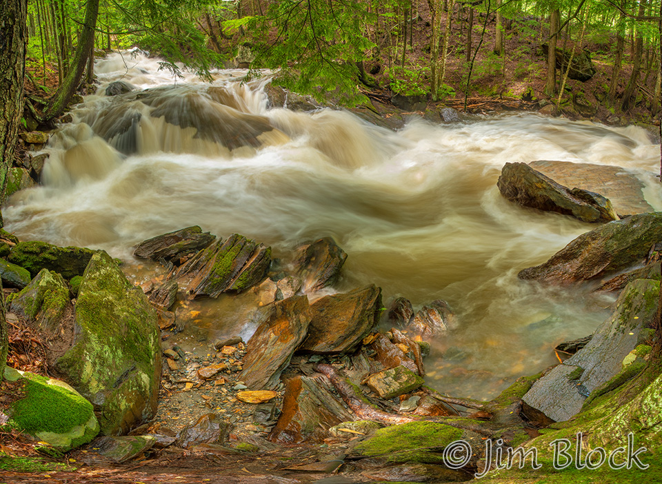
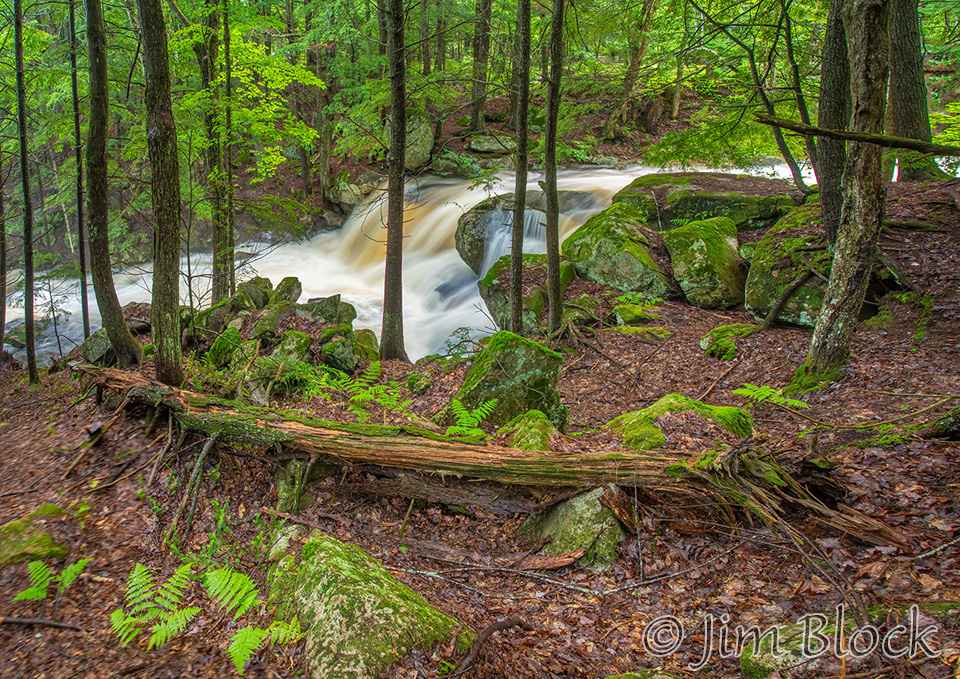
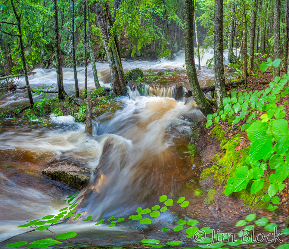
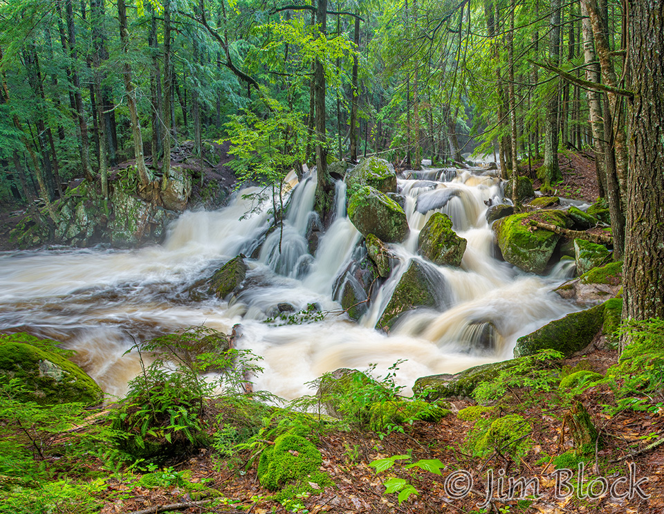
Back to the main brook, I took the photo below looking toward the second large falls.
That falls is to the left below. Water is not normally running in the area on the right side of the photo, or if it is, it is just a trickle.
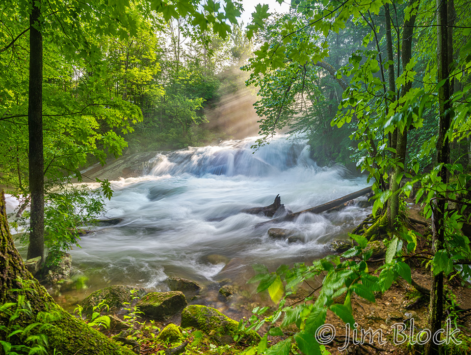
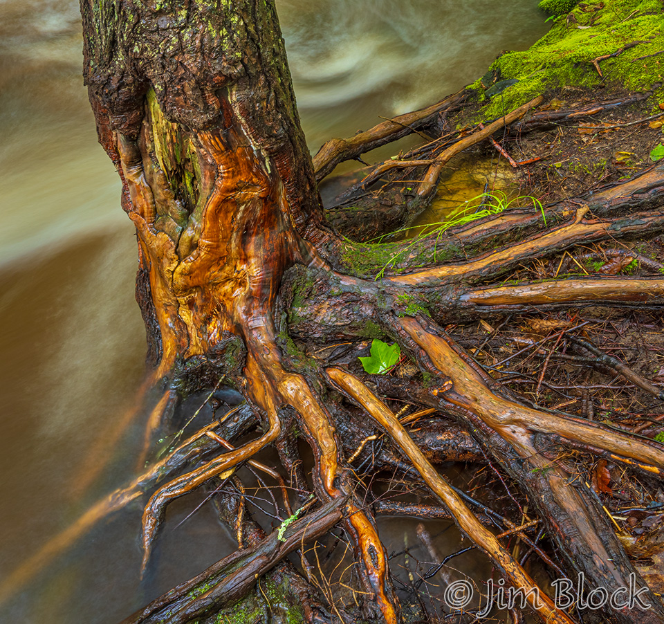
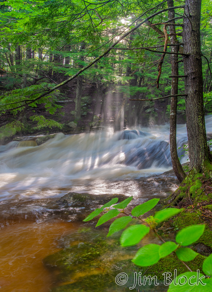
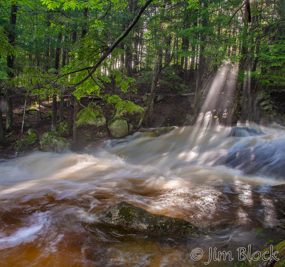
The sun was breaking through the mist above Bicknell Brook when I got back to the spot with the great roots and moss.
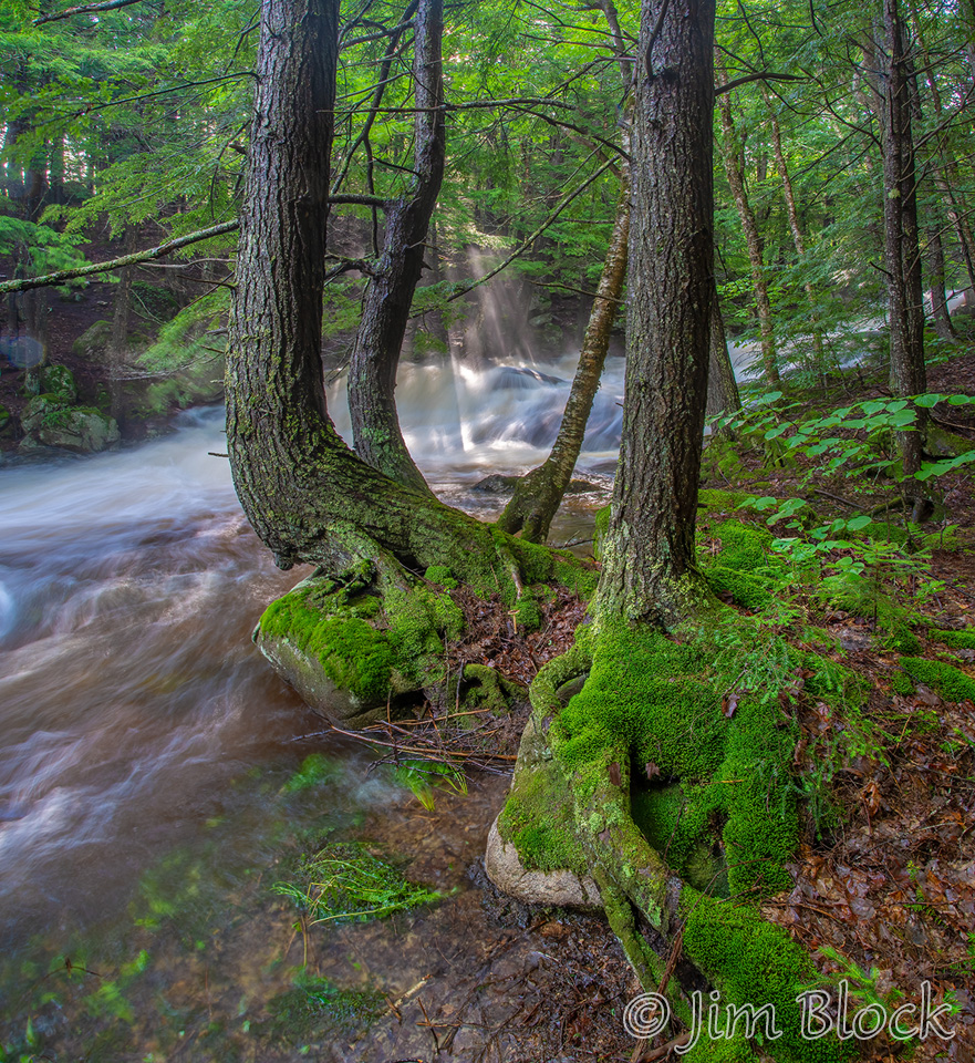
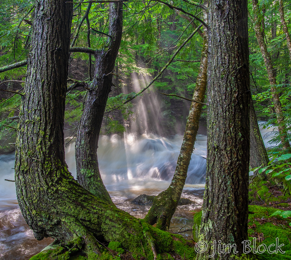
I hurried to take some photos because I knew the special light would not last. In five minutes it was gone.
I crossed Boy’s Camp Road and headed east along the Colette Trail. This was the first time this morning that I was photographing from the north side of Bicknell Brook. All the previous photos were taken from the “wrong” side where there is no trail.
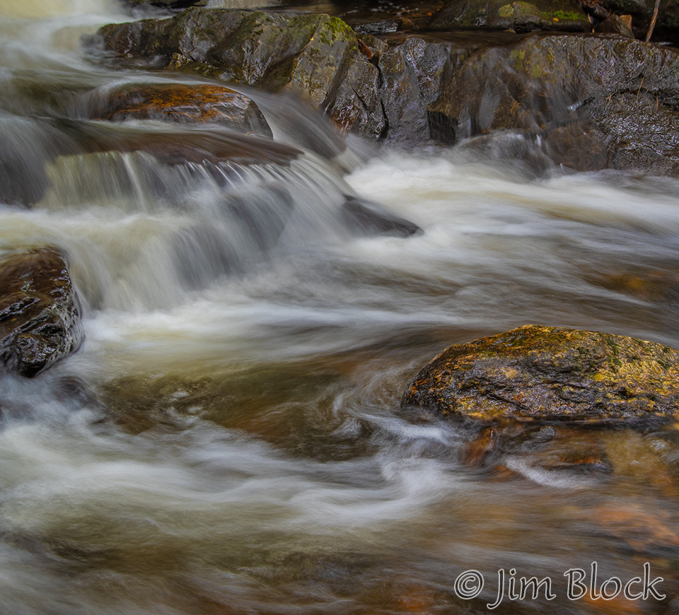
The next six photos illustrate the effect of shutter speed. The first three of these were taken at 0.2, 0.25, and 0.6 sec respectively.
The next three were shot at about 2 sec.
I put many photos of Bicknell Brook on my NH Trails page. You can get there directly and to other photos of Bicknell Brook and the Colette Trail in Enfield if you click these links:
Bicknell Brook and the Colette Trail
Bicknell Brook in Early February
Bicknell Brook in Early Spring
Bicknell Brook in Late October
Bicknell Brook after November Rains
If you have not yet gotten your fill of moving water photos, you can see some from August, 2021, if you CLICK HERE.