July turned to August with torrential rains. It was a great time to photograph rapidly moving water in the eastern part of the Upper Valley — normally just a spring opportunity.
A gentle trail heads uphill along Kidder Brook in Springfield just west of Twin Lake Village. It is a very nice easy hike. After exploring the brook you can continue farther uphill through Gile State Forest to Morgan Pond, a beautiful, remote 51 acre pond.
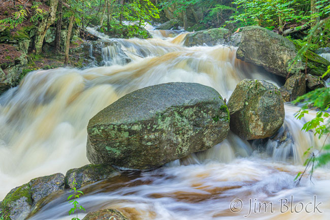
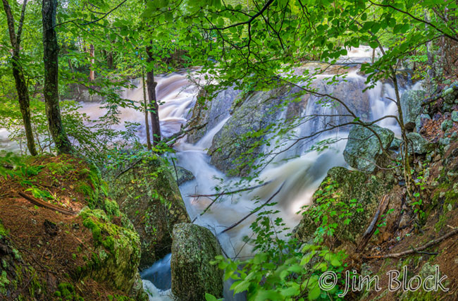
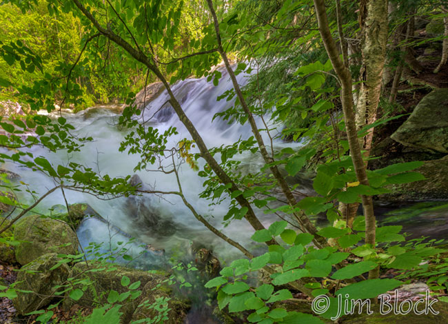
A stone bridge crosses the brook at the beginning of the trail. I took the photo above from that bridge. The photo below was taken from near the base of the bridge.
The polypody ferns on a cliff above the raging water is one of my favorite places along Kidder Brook.
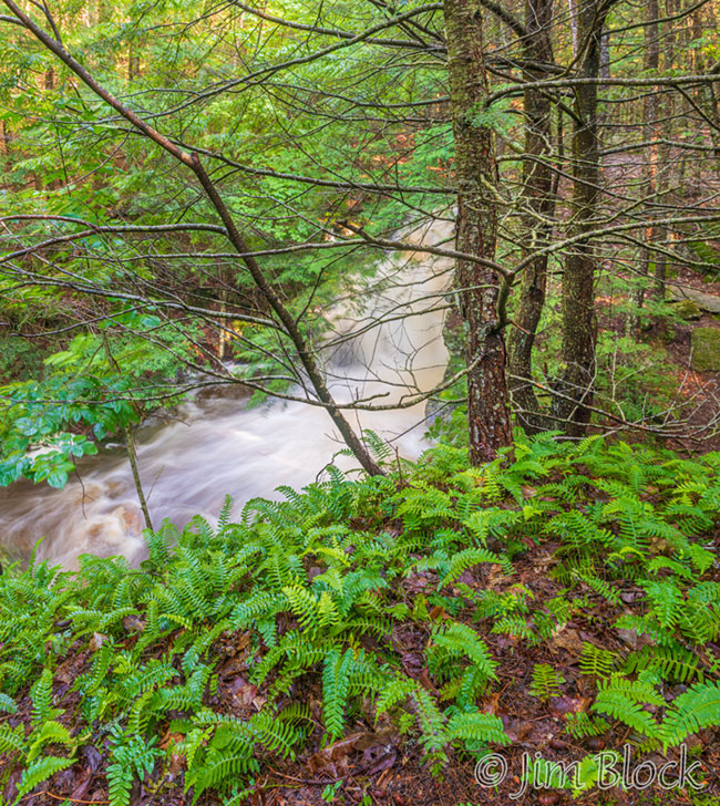
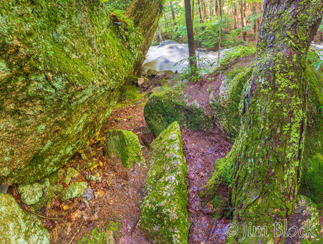
Below them is an intimate area with large erratics, as seen in a photo below. The cliff with the polypodies is on the left side of this photo.
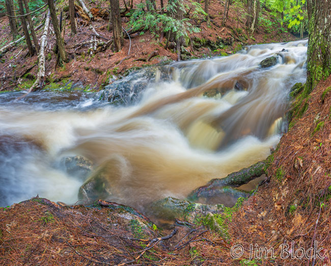
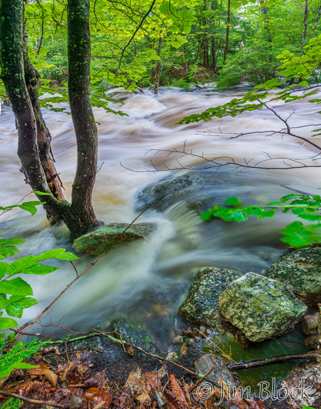
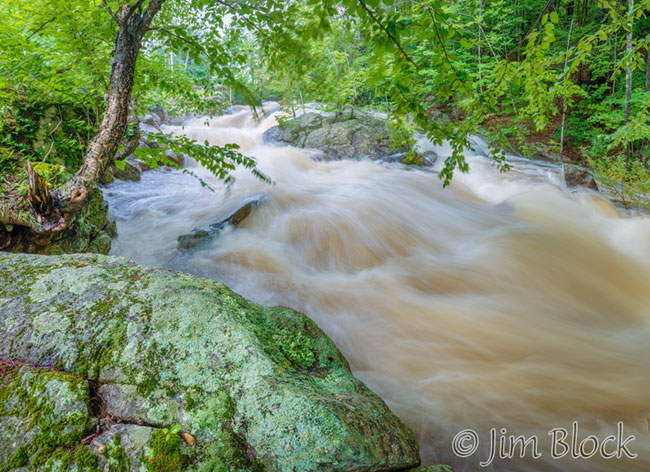
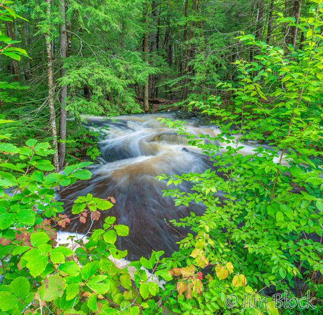
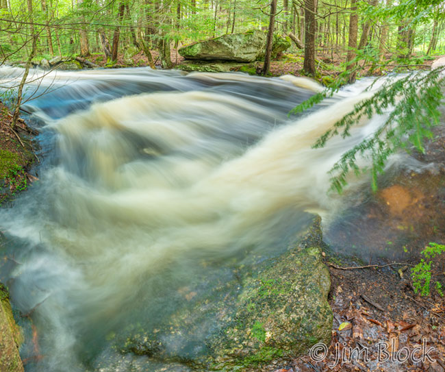
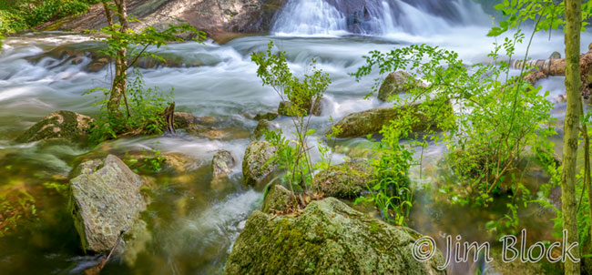
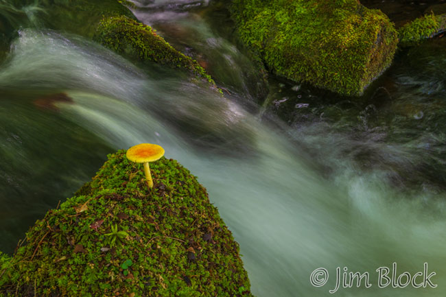
Here are more photos from Kidder Brook.


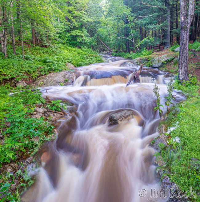
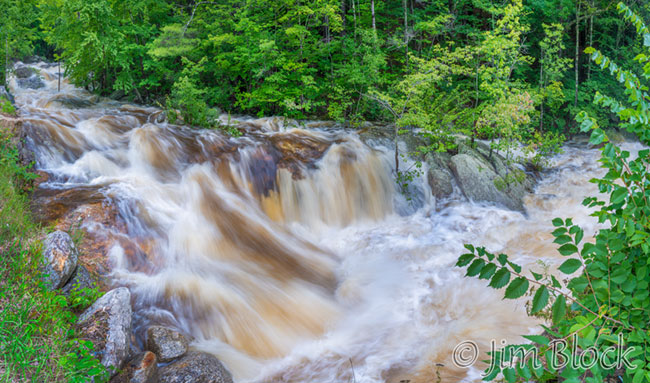
After Kidder Brook I headed to Kimpton Brook along Route 4A in North Wilmot. At times this brook, which flows into and drains a large bog at the base of Bog Mountain, can be very placid and almost dry. This August 2nd, it was raging full.
Bog Mountain is a great short hike on Trail 7 of the SRK Greenway. You can start from Route 4A or shorten the hike by starting along Stearns Road.
There were still a few leftover signs from the 2020 election in North Wilmot which I chose to ignore and concentrate on the moving water.
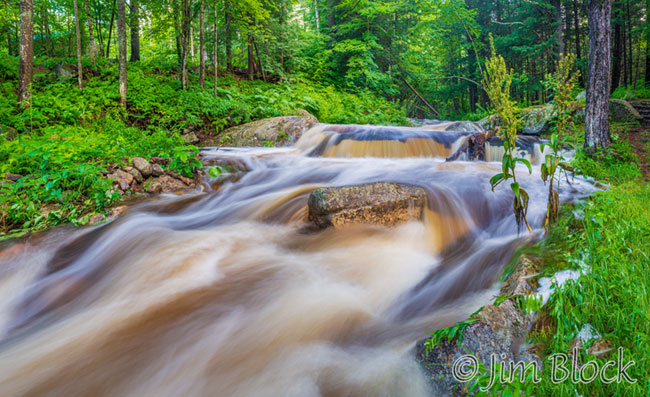
I drove to Sutton and found an interesting part of Lyon Brook along Hominy Pot Road upstream of the King Hill Reservation.
On August 3, I tried the falls in the Sugar River below Sunapee Harbor, but it was too sunny for good photography. So I concentrated on a few pieces of the lower part of the falls.
I headed to Great Brook in New London, but unfortunately sun was still shining brightly. I found a small side stream along the brook which was not in bright light and took this photo.
On August 4, a 22° halo around the sun amazingly lasted for over seven hours. After spotting it around 7 AM, I took a break from photographing the halo at 7:30 and tried the Sugar River falls again. The light was soft, and I did better this time. Then I “chased” the halo for 5 hours.
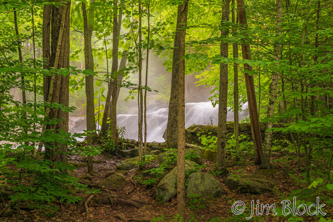
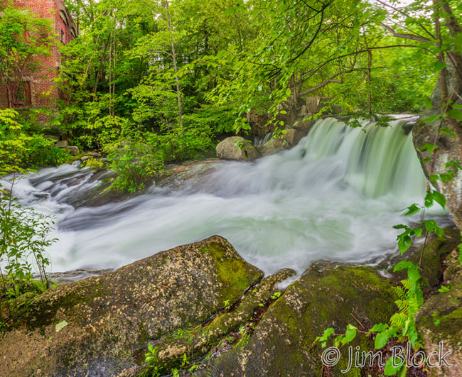
I forgot how nice these falls are. The best stretch is along the Riverwalk just below the foundations of the old Hames factory. You can see an old dam in the photo below.
Here are more photos along this stretch of the Sugar River, a short distance below Lake Sunapee.


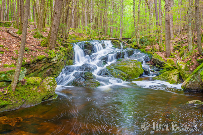
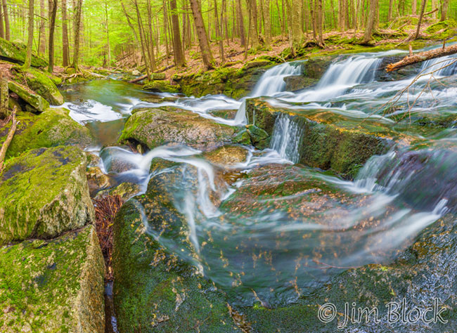
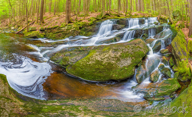
On August 5, I finally succeeded on my third try to get overcast-day photos along Great Brook in New London. Here are three from the Lower Cascades. The water wasn’t as wild as it was a few days earlier, but the light was much better for photography.
Please CLICK HERE for photos along Great Brook from previous trips.