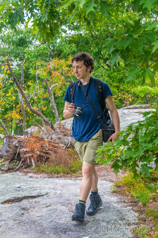
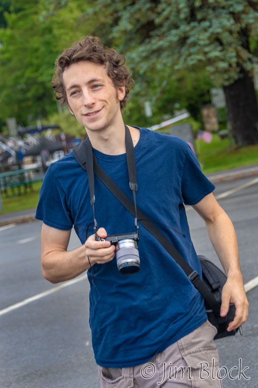
Our grandson, Julian, visited us from Wisconsin for a week. This gave us a chance to hike for six days. We tried to make the most of it, although a few days were shortened because of weather – once rain and another time high heat.
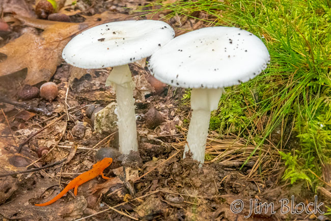
He found a Red Eft near a pair of Destroying Angel Amanita Mushrooms.
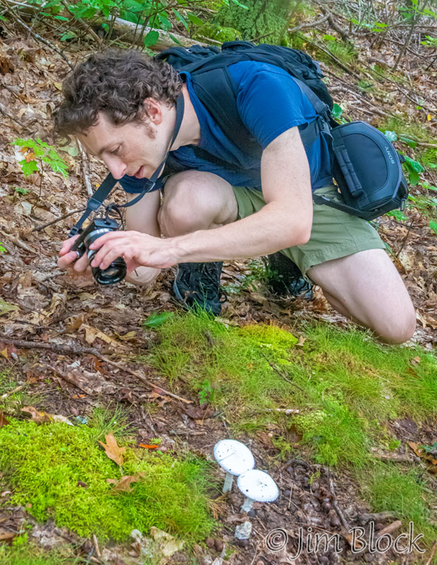
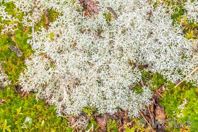
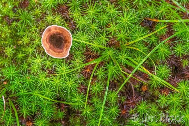
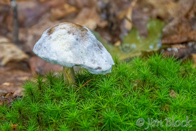
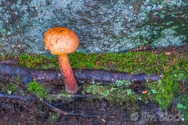
I also photographed some mushrooms and groundcover.
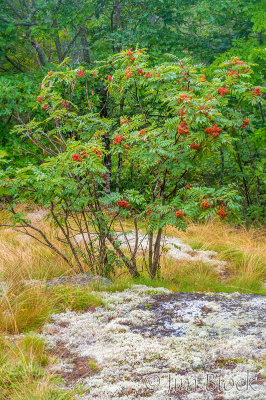
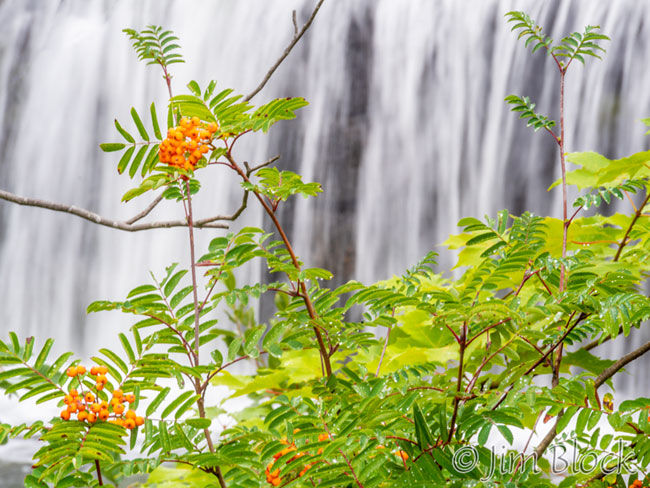
And a beautiful blooming American Mountain-ash tree.
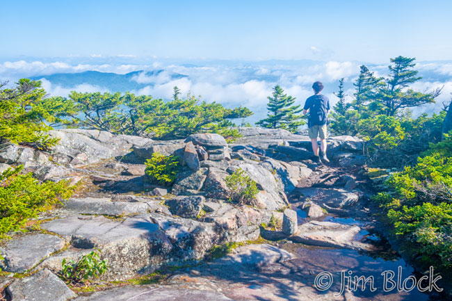
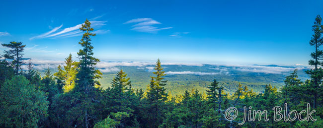
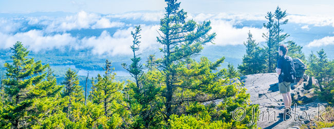
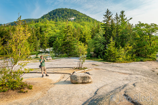
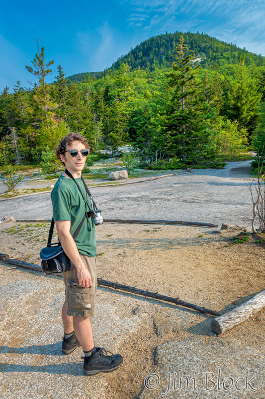
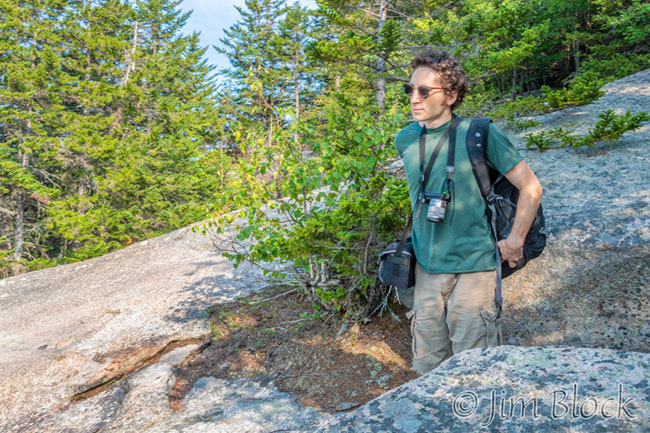
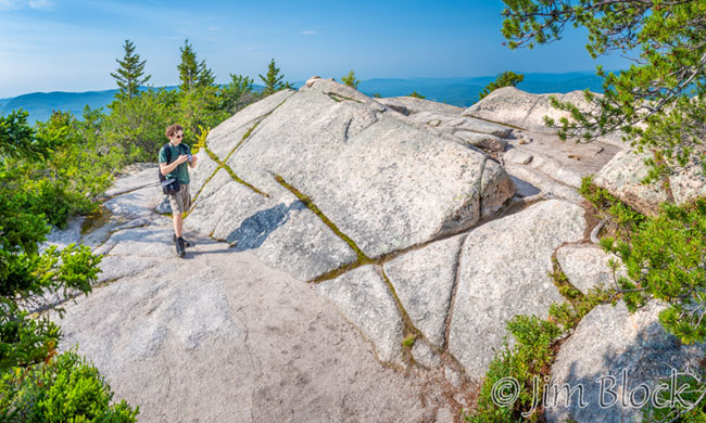
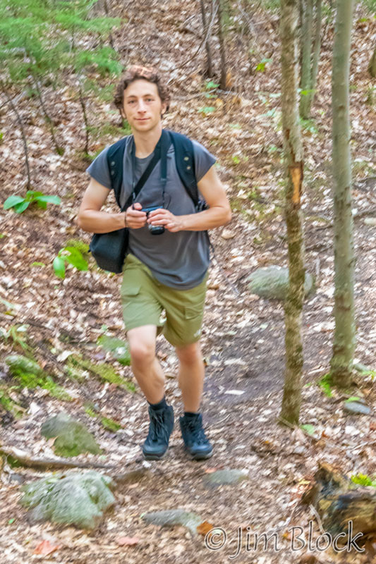
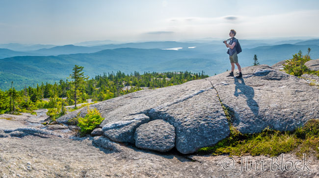
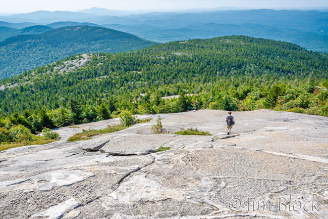
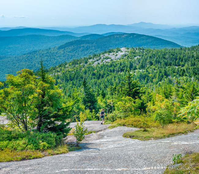
Julian photographed our approach to the summit while I made a wide-angle image of him.
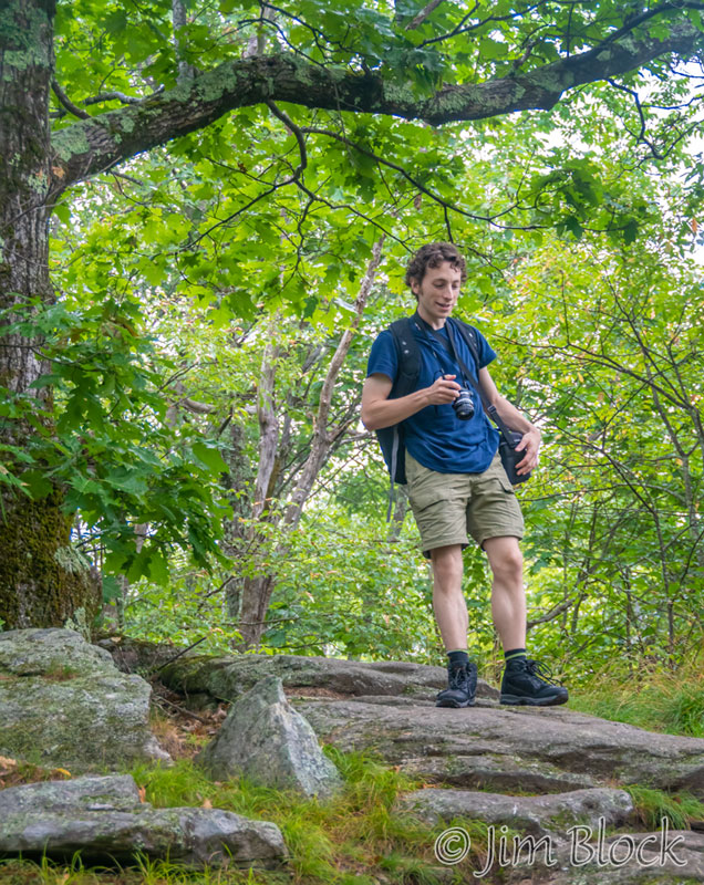
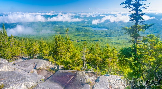
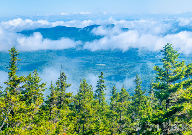
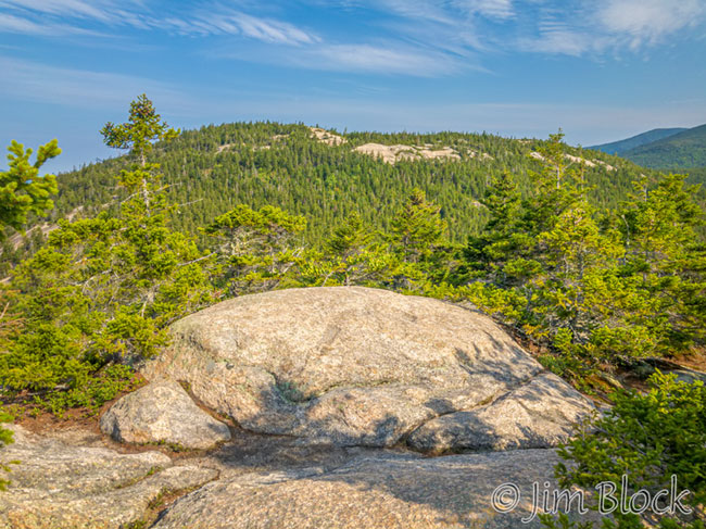
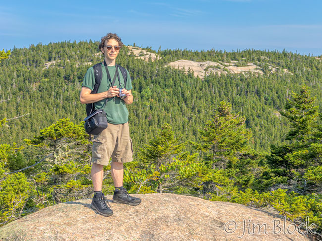
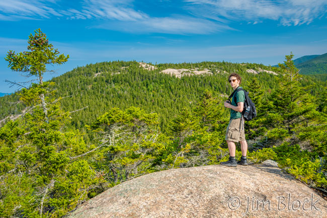
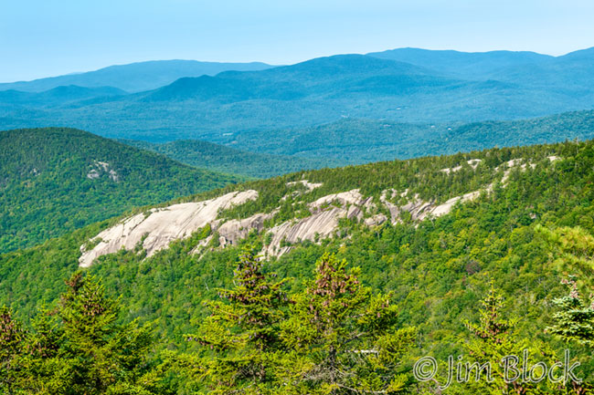
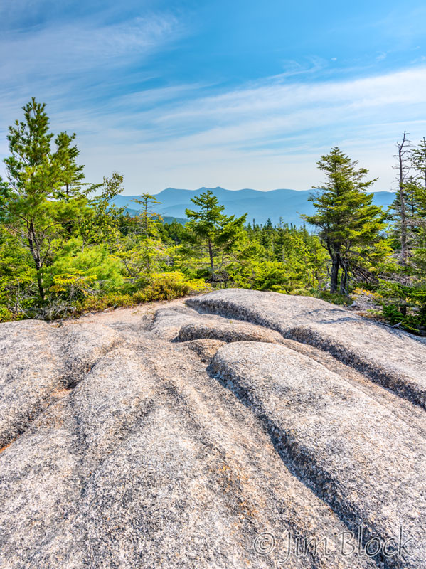
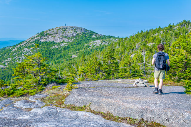
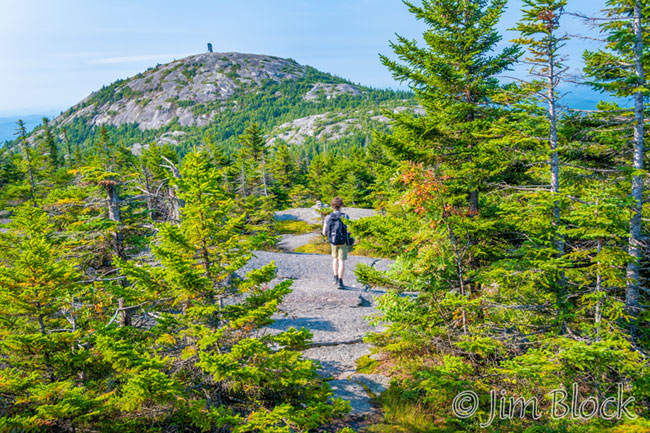
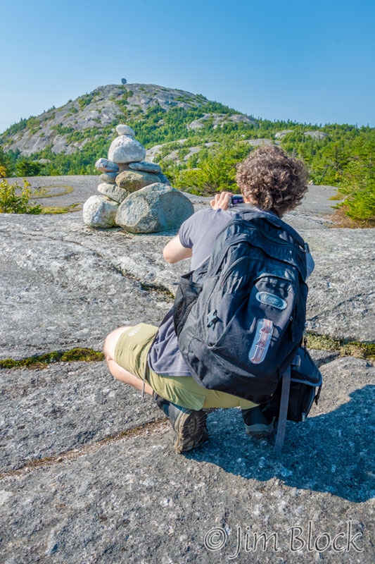
Here are four of the photos I took at the summit.


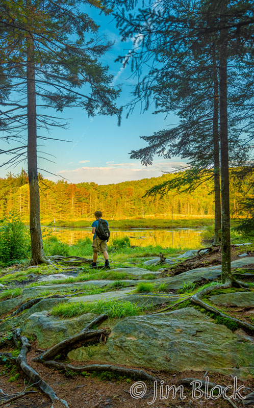
Sunapee Harbor
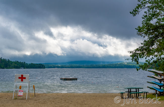
The next day promised rain for most of the day. However, we were able to get in a hike and some photography around Sunapee Harbor in the early morning. We parked in the harbor and hiked to Dewey Beach.
You can see that the clouds were already building, already obscuring Mount Kearsarge.
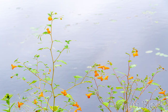
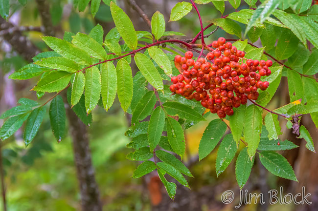
Back at Sunapee Harbor, I photographed more Mountain-ash in front of the dam.
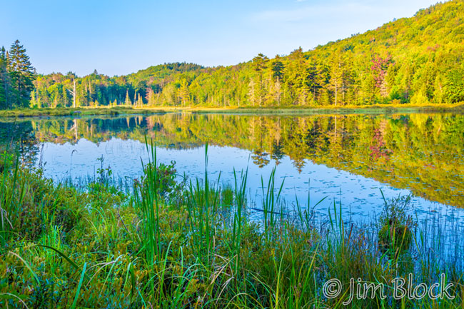
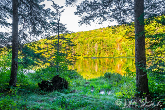
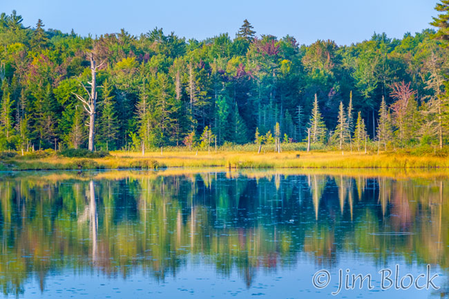
We hiked the Riverwalk down to the Sugar River falls, took a few photos, and headed back before the rain came. Here are a few of the photos from the last part of our Sunapee Harbor hike.


Mount Kearsarge
Julian and I hiked Mount Kearsarge together for 20 years in a row even though he lives in the Midwest. We have missed a few years since, but we make sure we didn’t miss it this trip.
It is the first New Hampshire mountain I tried to hike many years ago. Jann and I drove up from Cambridge, MA. We started up the very steep Winslow Trail with one daughter on my back and another walking. Soon I had two girls on my back. They seemed heavy, we were not in shape, and the trail is steep. We didn’t make it to the summit that day.
The photo above shows Mount Kearsarge from near Route 11 in New London.
Over the years my favorite way to hike Mount Kearsarge has been to take the Winslow Trail up and the Barlow Trail down. The Barlow Trail was named for Peter Barlow, a surgeon in our weekly winter evenings outdoor paddle tennis group in Norwich, Vermont years ago.
Before reaching Winslow State Park, we stopped along Twist Hill Road for a view of the summit. You can see that there was fog down at this elevation.
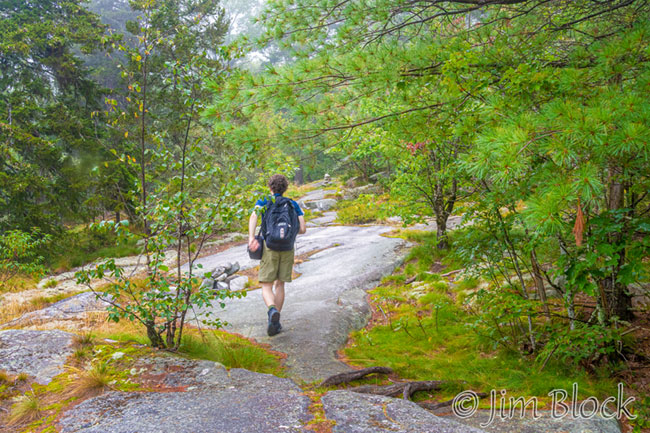
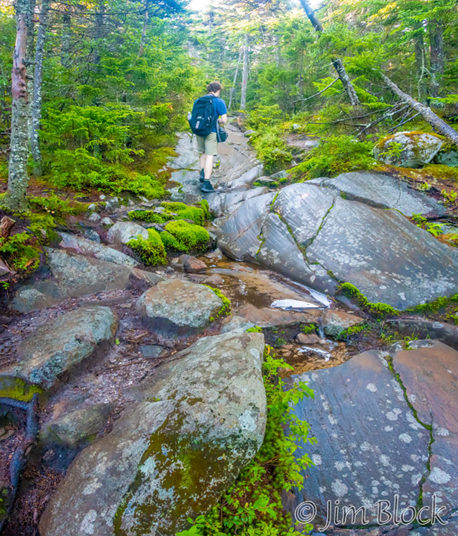
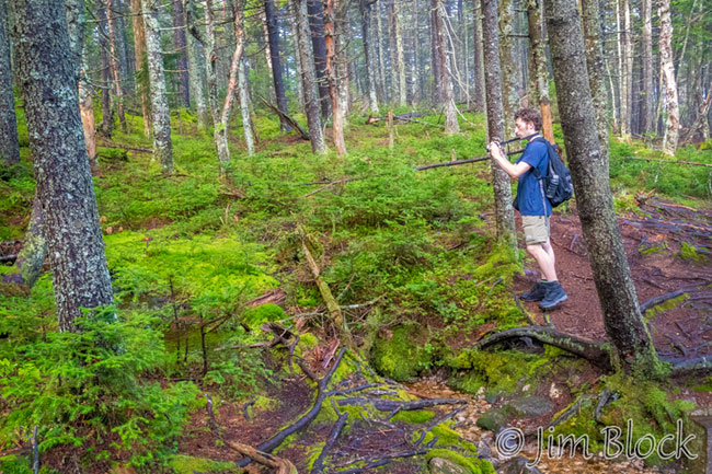
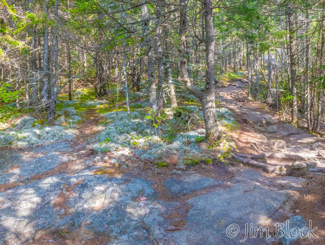
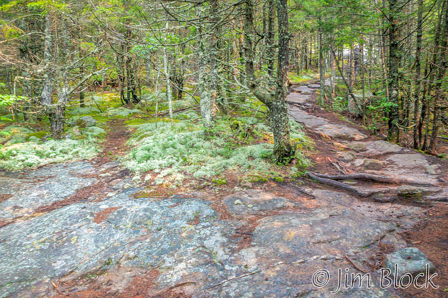
Here are some photos taken as we hiked the Winslow Trail to the summit. In two of the photos you can in the red focusing light on Julian’s camera as he took photos of me along the way. I’m not sure the focusing light actually helps at that distance, but it turned on automatically because it was quite foggy and dark as we hiked up.


At the traditional lookout spot before reaching the summit, we could see the fog in the valley below us.
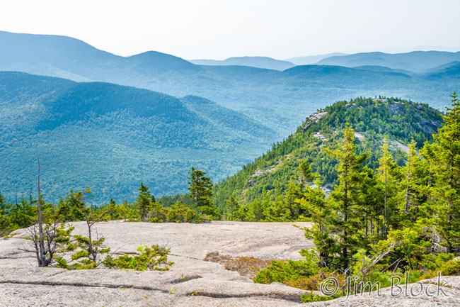
Here are five photos from that lookout spot.


We hiked on toward the summit. The soft light and moist air made everything lush.
When we reached the summit, the fog was lifting up to join us. It came and it went, and it caused some interesting atmospherics as we paused briefly for a rest.


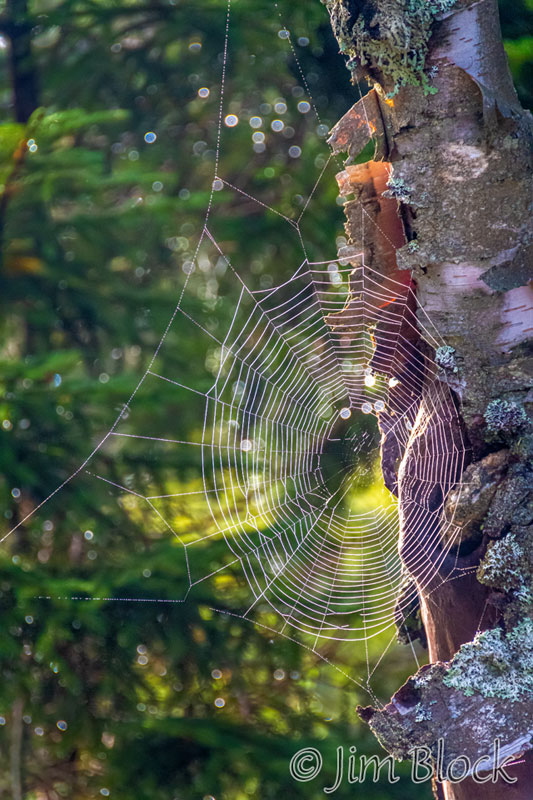
We looped down to the cottongrass marsh to the east of the summit finding a spiderweb along the way. Over the years the marsh has gotten quite overgrown. As we climbed back to the summit we got wet walking along the narrow trail with overhanging wet brush.
The Barlow Trail affords nice views of Bradley Lake and Ragged Mountain in Andover. The photo below shows Ragged Mountain at the top left and Bradley Lake near the center.
I made a five-photo panorama, but it is very long and narrow so I have cropped it to better show it. Below is the left portion of the image showing Ragged Mountain.
The right portion of the scene shows Bradley Lake on the left and Julian at the far right.
Julian photographed some mushrooms on the way down.
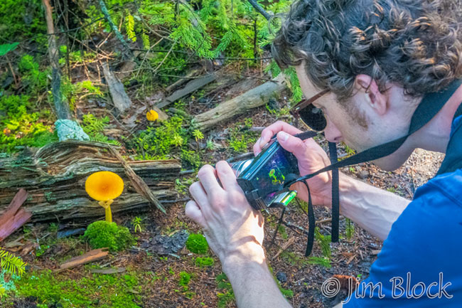
And so did I.
It was wonderful to again hike beautiful Mount Kearsarge.
Welch-Dickey Loop
I hiked the Welch-Dickey Loop in Thornton and Waterville Valley for the first time this July. I found it a beautiful and enjoyable hike. It is somewhat distant, so Julian and I headed off very early in the morning to hike it.
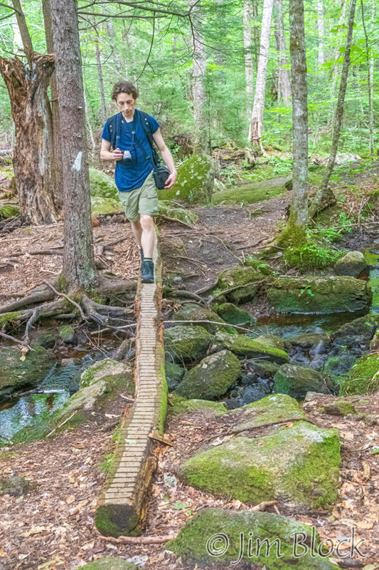
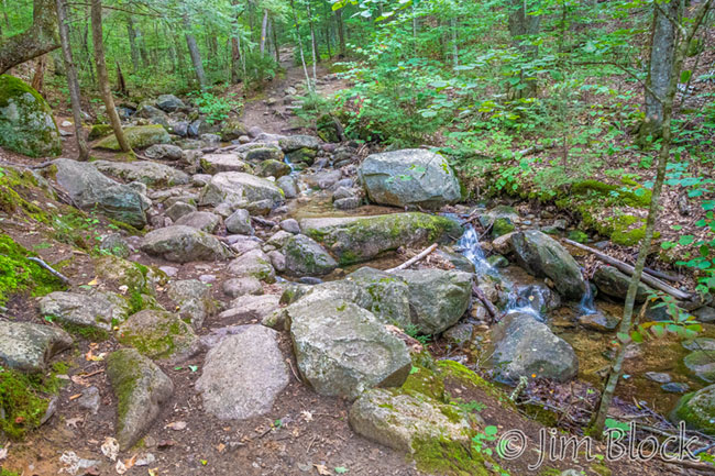
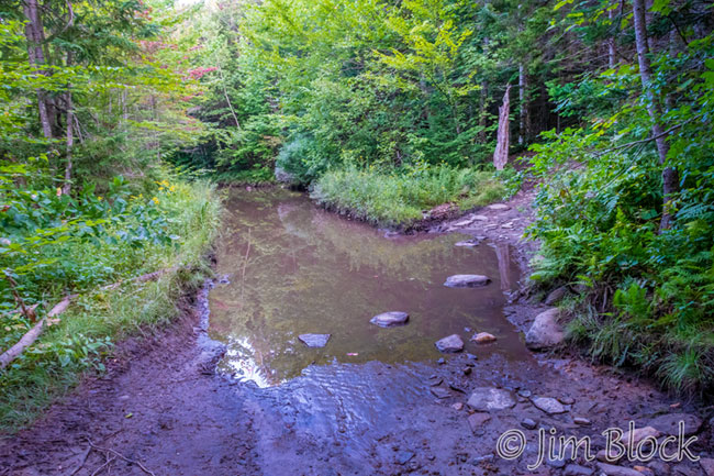
Early on we crossed a stream which was running much less full than in July.
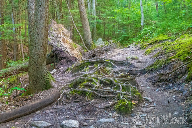
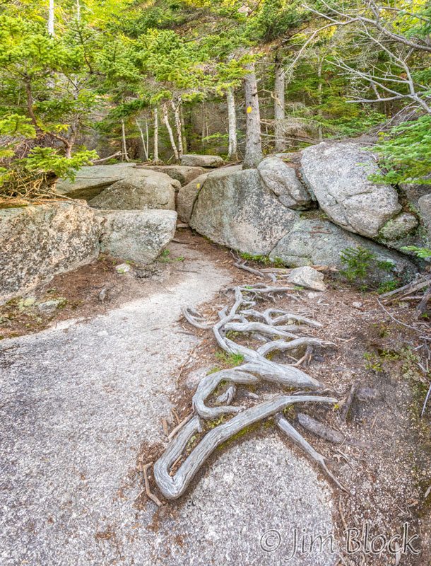
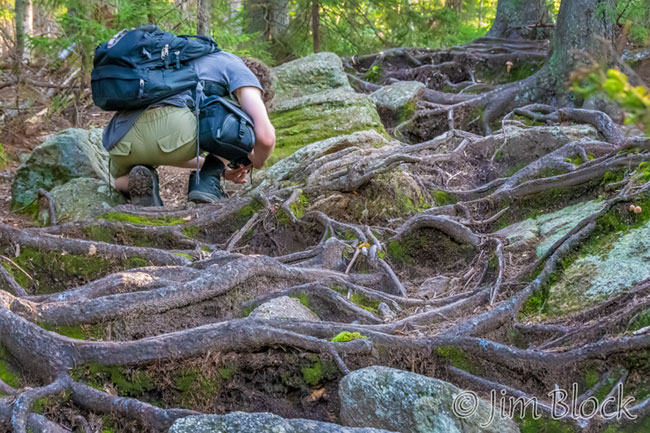
I found some interesting roots in front of a toppled tree.
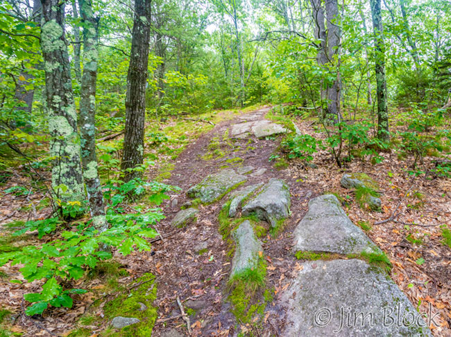
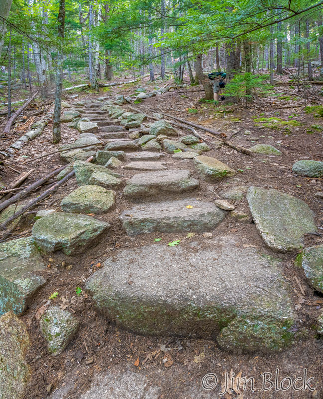
This trail is very well laid out and maintained. In some areas there are rock stairs.
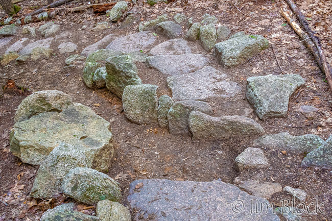
And the water bars are excellent with shingled rocks to guide the flowing water away from the trail.
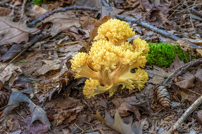
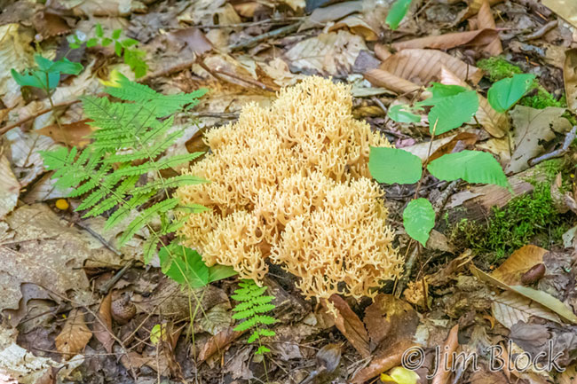
I found some Yellow Coral Mushrooms.
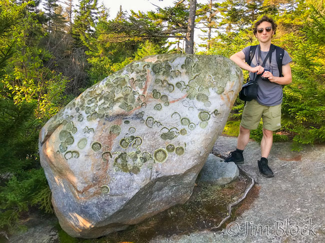
We hiked onward.
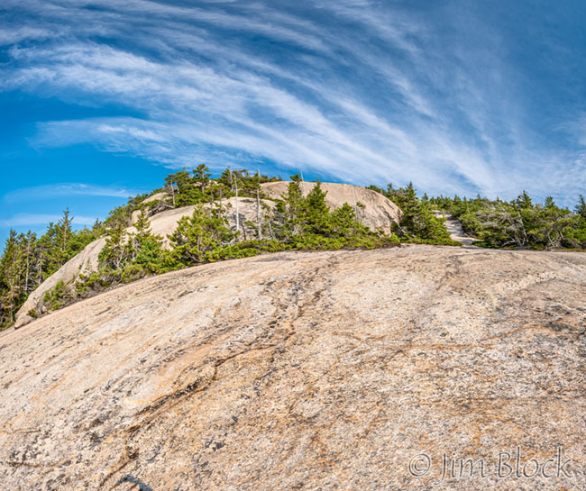
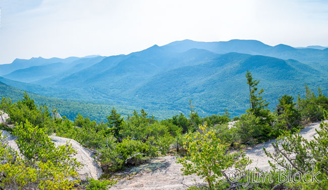
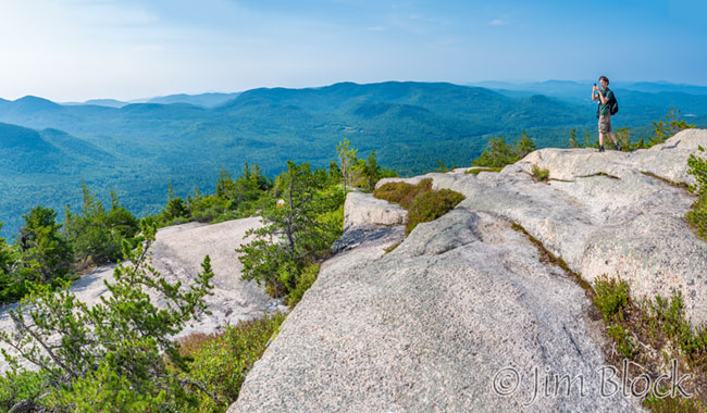
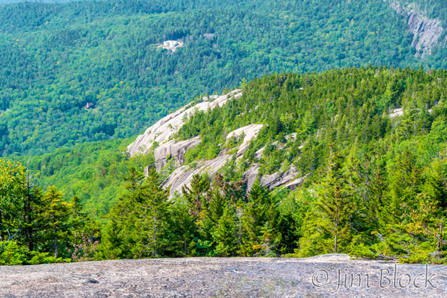
We reached the first viewpoint. It is a beautiful spot. The sky was not as hazy as my previous visit, but it was still not as clear as I would’ve hoped. Here are seven photos from that spot.


I took two photos of Julian with Mount Welch summit in the background. They are below.
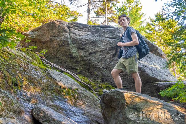
We worked our way toward the summit.
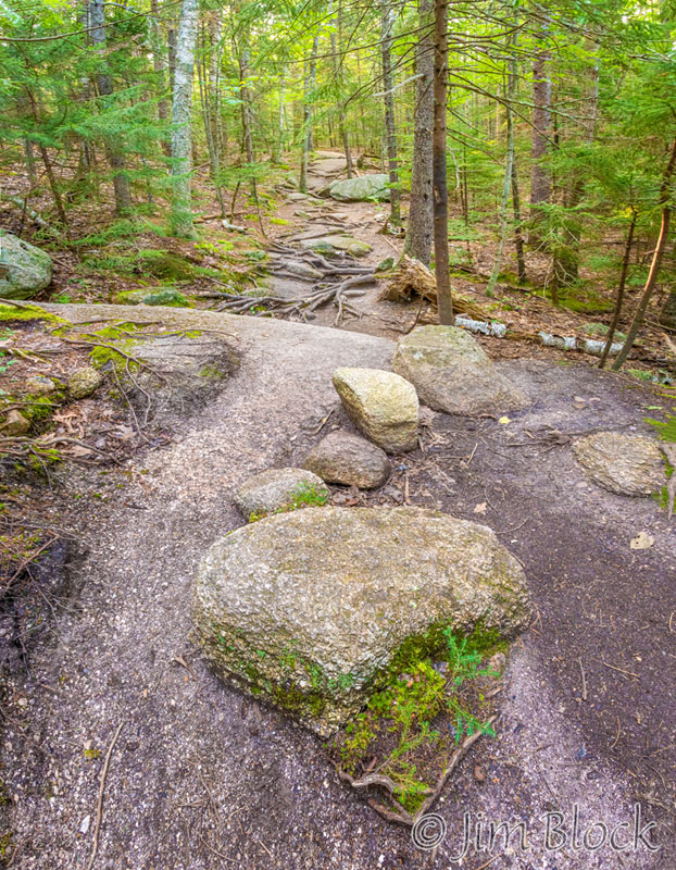
Along the way there were some interesting roots and boulders.
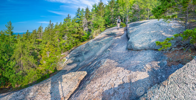
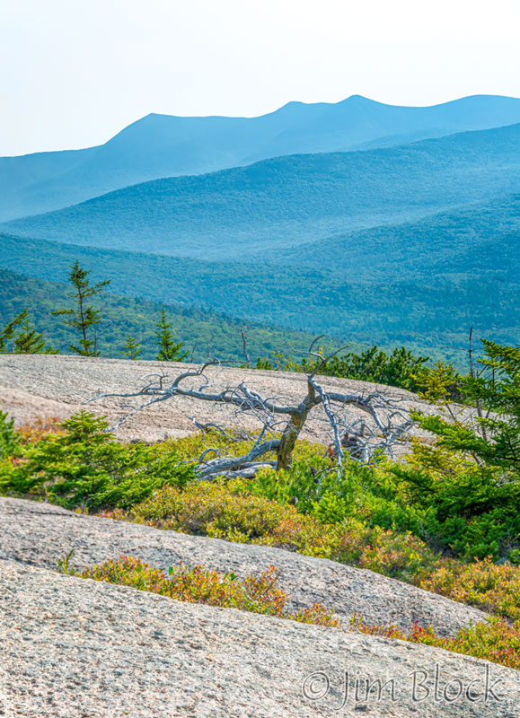
We reached a large slab of exposed ledge. I was interested in how the clouds mirrored the lines of the rock.
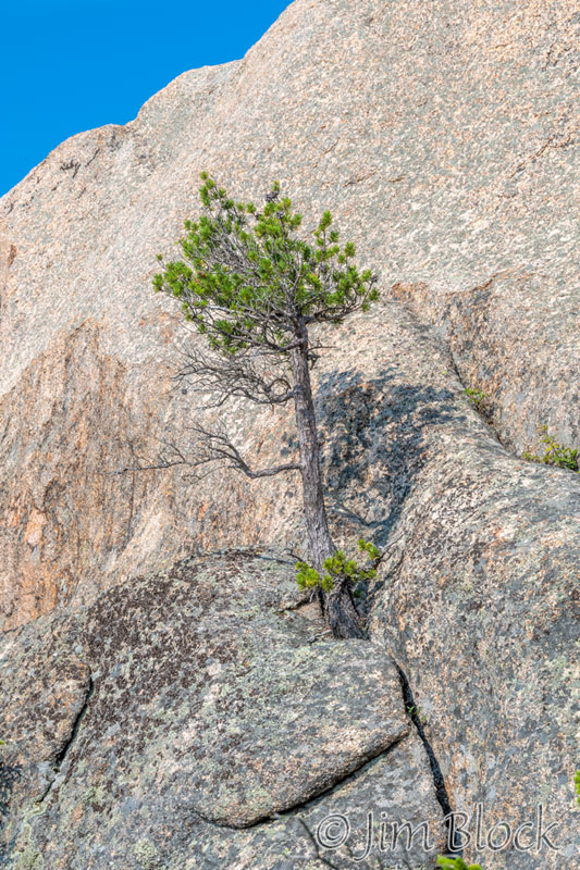
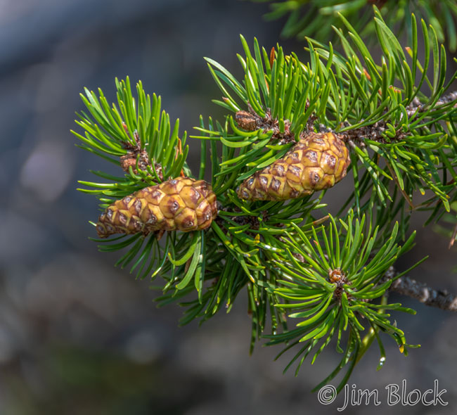
We found some Jack Pine. This is one of the few areas in the white mountains where it is found.
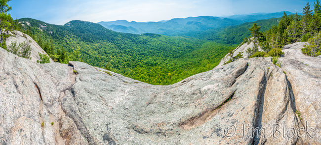
As we approached the summit we had great views. The photo below shows the Tripyramids in the distance.
I made a seven-photo panorama. Below you can see the left crop of that panorama followed by the right hand crop.
We were approaching the summit of Welch Mountain.
At the summit I took two photos with my iPhone with Dickey Mountain in the background so I could show Jann our progress in “real time”.
I also took a photo of Julian and the Dickey summit with my real camera and one of the southwest shoulder of Dickey, which we would walk along on the way down.
During our previous trip the air was quite hazy, which compromised the distance views, but caused the light in the woods to be excellent. This trip was mostly sunny so photography in the woods was not nearly as nice.
The photo below was taken as Julian and I traversed the valley between the two peaks. You can see how contrasty it is.
You can see how different the scene looks when the light is softer in the photo below from my previous trip.
The views were expansive as we approached the summit of Dickey.
The summit did not have sweeping panoramas, but instead pieces of views. In spots there were interesting patterns in the ledge.
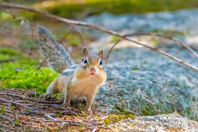
We stopped for a brief rest and snack near the summit. A chipmunk came over to check us out, but we did not give it any food. I don’t think it is good to encourage wild animals to be beggars.
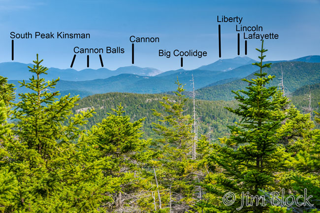
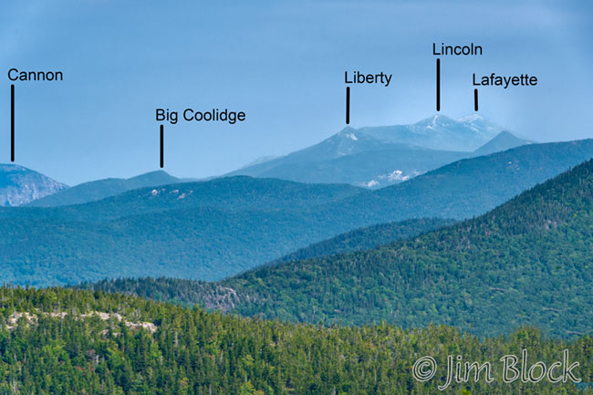
On the way down from the summit, we got some views to the north that I hadn’t noticed on the previous hike. Below are two photos with the peaks labeled.
Descending from the summit of Dickey, we got some nice views to the southwest ledges that we would be soon crossing.
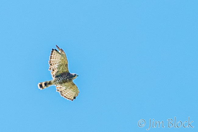
A Broad-winged Hawk soared high overhead.
We reached a huge slab with views to the southwest.
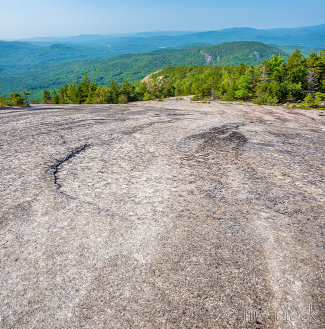
On that slab we found a very long garter snake.
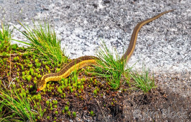
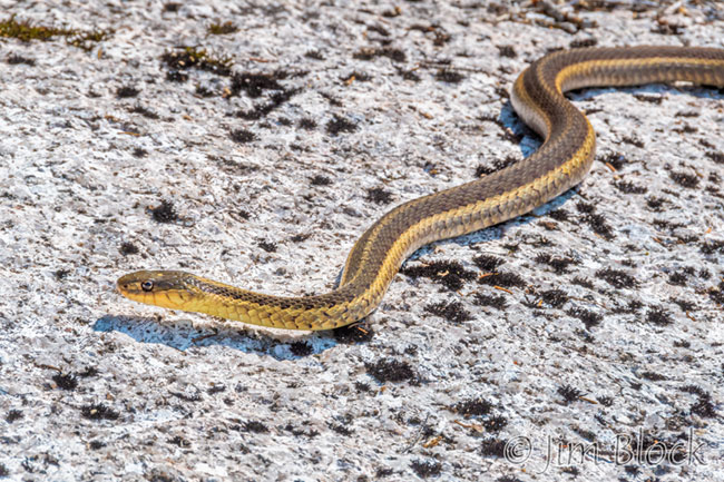
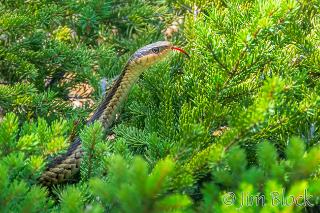
Here is Julian photographing it as it found shelter under a boulder.
The southwest shoulder is spectacular. There is a severe drop-off on one side. I made a 14-photo panorama that is shown below.
Here are more photos from the southwest shoulder.


As we finally near the parking area somewhere before noon, I photographed a Yellow-tipped Coral Fungus.
Little Mount Washington and Leavitt Pond
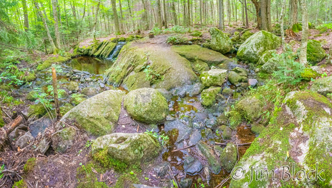
The weather forecast for the day was for very hot and humid conditions. So we decided to do an early walk not too far away. We chose to hike in Grantham through the Town Forest to Little Mount Washington, down to Leavitt Pond, and loop back. It was a fairly easy 7 miles, except for parts of the Croydon Turnpike which were very muddy (read, flooded).
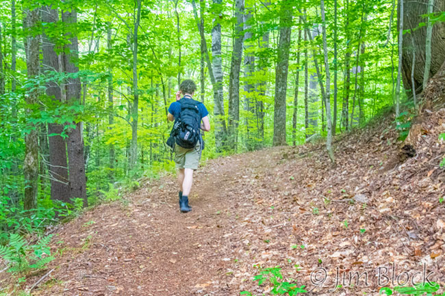
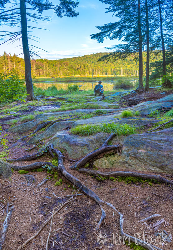
Here is Julian hiking along a dry part of the Croydon Turnpike at 6:45 AM. We reached Chase Pond before seven, and I took several photos of Julian near the pond.
Here are three more views of Chase Pond.
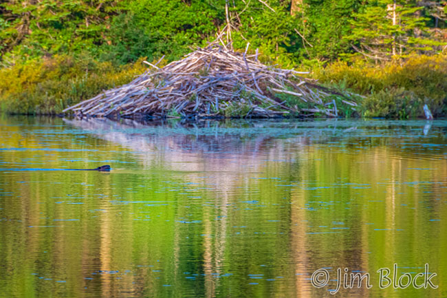
We heard a beaver tail slap. When we walked to the shore of the pond we were able to see, barely, a beaver swimming in front of a lodge across the water.
We skirted a flooded portion of the Croydon Turnpike.
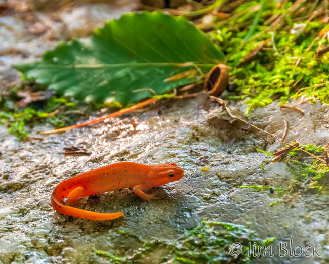
Julian found an Eastern Newt, also known as a Red Eft in its juvenile stage.
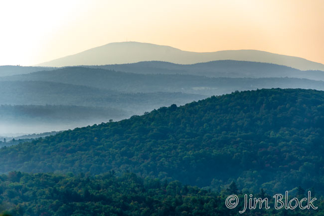
We reached the summit of Little Mount Washington, which is actually just a very nice viewpoint. From there I took a photo of Mount Kearsarge and Black Mountain in the distant early morning haze.
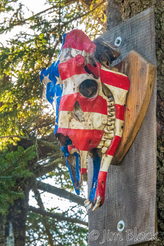
There were some chairs at the summit arranged around a small fire pit. There were also a few humorous objects fastened to trees.
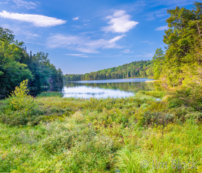
We hiked downhill to Leavitt Pond.
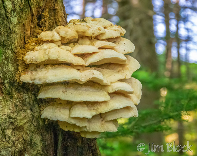
I photographed a Northern Tooth Mushroom on the loop back .
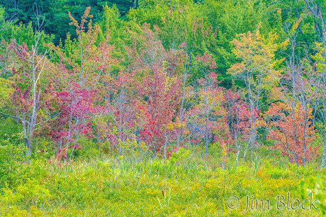
Although it was getting quite hot, we managed a short walk along the rail trail in Newbury. The swamp maples are already colorful.
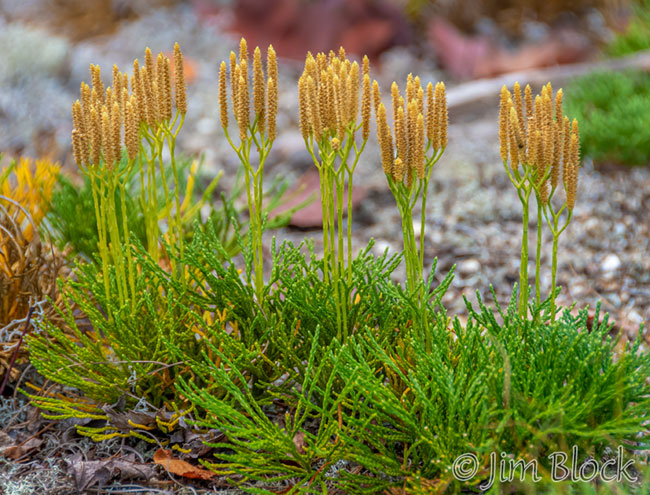
I found a nice group of Fan Clubmoss.
Firescrew and Cardigan
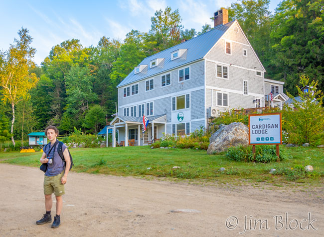
For our last hike together during Julian’s 2021 visit, we did one of our favorites – Firescrew Mountain and Mount Cardigan from Alexandria. We started at the AMC Cardigan Lodge
We headed up the Manning Trail.
Julian found a number of things low to the ground to photograph
We continued up and passed some interesting glacial erratics. The second photo below was taken with my iPhone.
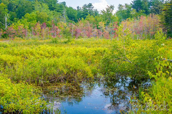
Just short of the summit is a beautiful cottongrass marsh. Cottongrass is a member of the sedge family and not a grass.
Here are some photos of the cottongrass marsh. In two of them you can see the top of Mount Cardigan peaking up behind the marsh.


We paused briefly at the summit of Firescrew and then headed down into the valley and up to Mount Cardigan, which can be seen in the distance in the photos below.
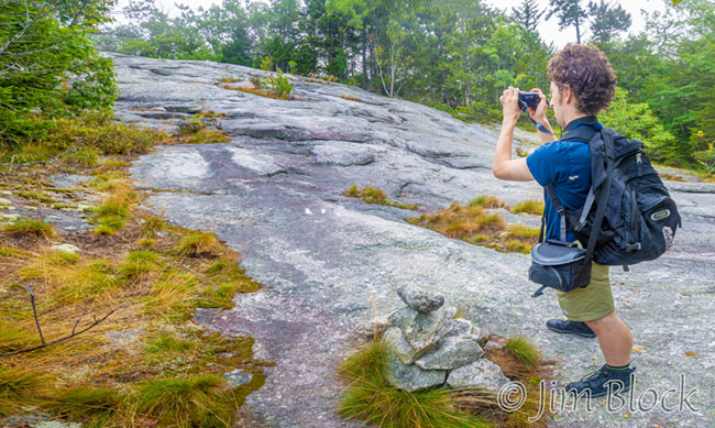
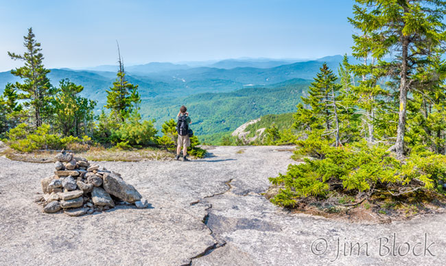
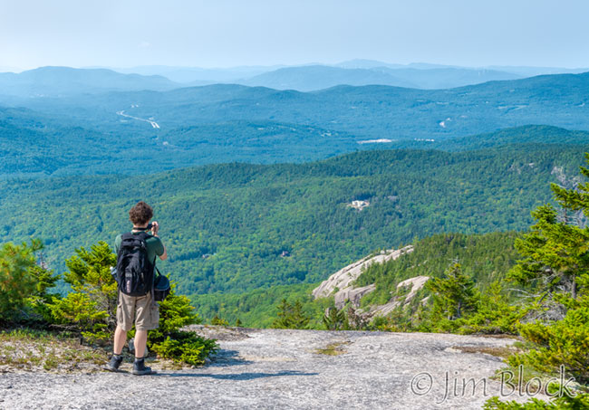
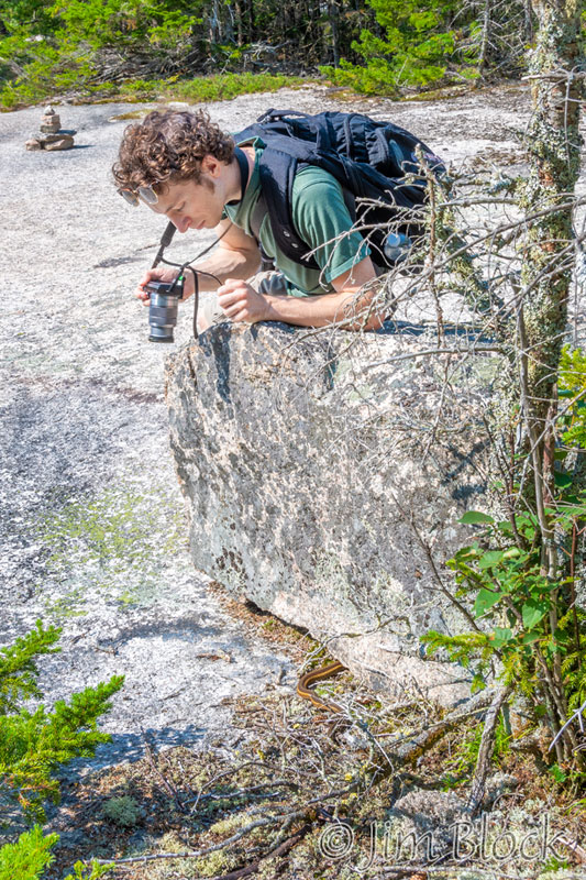
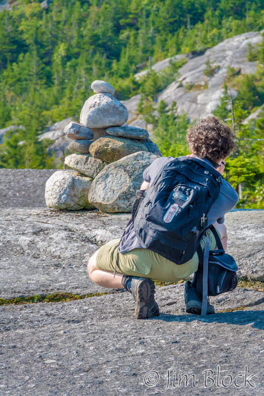
I took a pair of photos that I might use in a future photo class on Perspective, which I define as the size relationship of objects in a photo. You cannot change perspective simply by zooming your lens in or out. You must combine the changing focal length with moving your feet.
The photo on the left below was taken from far away from Julian with a very long focal length. For the photo on the right I moved in very close to Julian with a wide angle lens. You can see how the apparent distance between Julian and the cairn changes and how the wide angle view expands the background while the telephoto view minimizes the extent of the background.
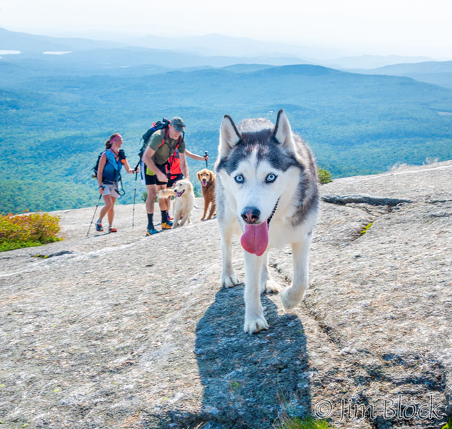
At the summit we found a spot out of the wind and stopped for a 10 AM snack. While we were there, a group of three hikers and three dogs climbed over the ridge at the top part of the very steep Holt Trail. They said they had to boost the dogs up in several spots.
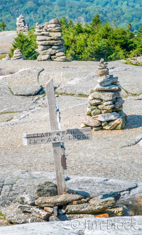
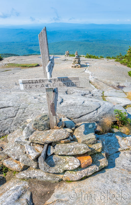
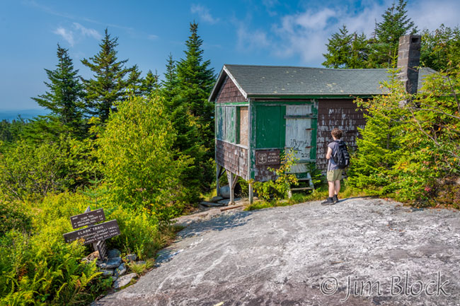
We took the Clark Trail down. Along the way I made another pair of photos illustrating perspective. They are below. You can see how I change the apparent distance between the cairns. By now you should be able to figure out what I did for each photo.
While descending we had some nice views to the southeast. We could see Ragged and Kearsarge in the distance with South Peak and Rimrock up close.
The photo below shows South Peak near the middle, Mount Gilman, otherwise known as Orange Mountain, above it, and Ragged Mountain in the top center with Kearsarge and Black to its right in the distant haze.
The Clark Trail heads into the woods near an old ranger cabin.
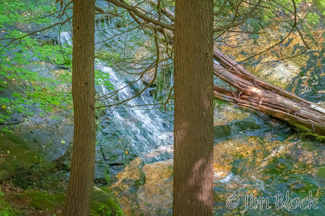
I took a photo through the trees of a small waterfall in Bailey Brook quite far down the mountain.
We finished our hike well before noon. The next morning we were up very early so Julian could catch a 6 AM flight out of Manchester Airport.
It was a great visit with some very pleasant New Hampshire hikes.