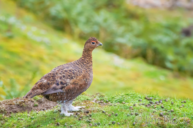
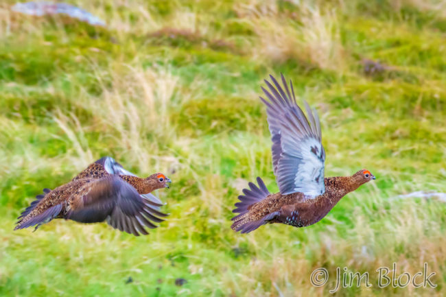
The Wainwright Trail in Northern England is a path that goes from Coast to Coast. It has amazing variety and some challenging hikes. I did two thirds of the trail with two friends last August and early September. This is a Red Grouse I photographed along the way.
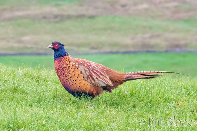
Our time in the UK was limited to 9 nights due to schedule conflicts. But our 8 days of hiking were a great experience. We had some long days — up to 20 miles — and more significant elevation gains than one might expect. The morning after our one wet day, I photographed this Pheasant.
Below are links to pages of words and photos from our C2C hike. Please click a title or photo to get to the respective page.
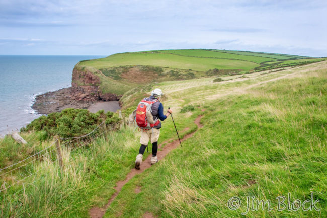
St Bees to Ennerdale BridgeAfter a nice afternoon and evening in St Bees, we hiked the first leg |
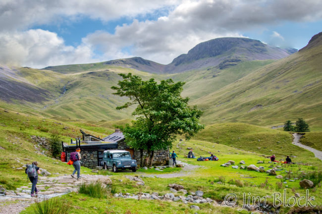
Ennerdale to RosthwaiteThe second day of our C2C Walk would feature brilliant blue skies |
|
 |
 |
|
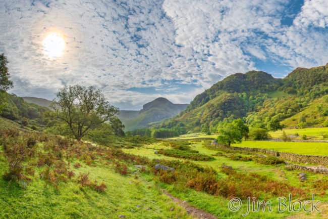
Rosthwaite to GrasmereWe walked through the valley of Stonethwaite Beck with iridescent clouds and Eagle Crag in the background before taking an altenative high route over Calf Crag and Helm Crag. |
Grasmere to PatterdaleFor the second day in a row we took an alternate high route. |
|
 |
 |
|
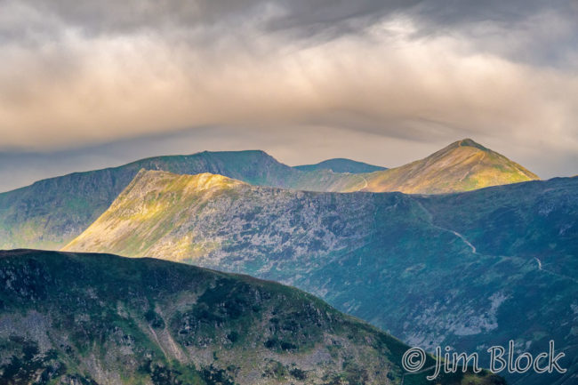
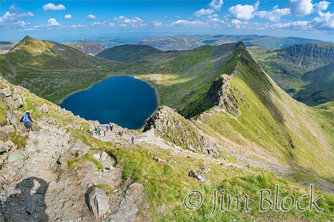
Patterdale to ShapDay 5 included a long climb past Angle Tarn with great views back to Helvellyn and Striding Edge, a long downhill after Kidsty Pike, a hard and boring walk past Haweswater, and a pleasant amble to Shap.
|
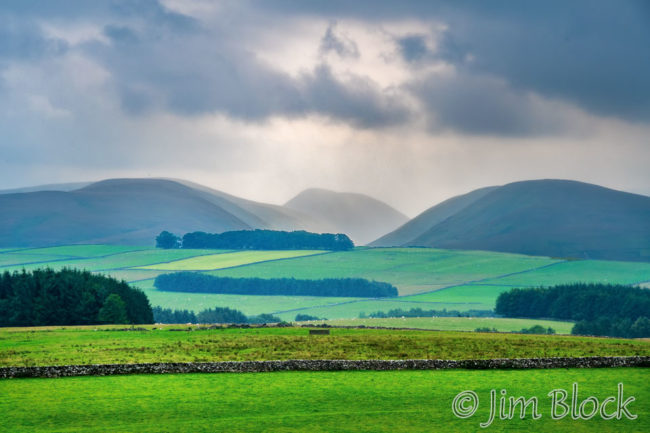
Shap to Kirkby StephenNo major mountains this day, but lots of ups and downs. By the end of the day we had walked over 20 miles with over 2000 feet of elevation gain over undulating fields and moorland.
|
|
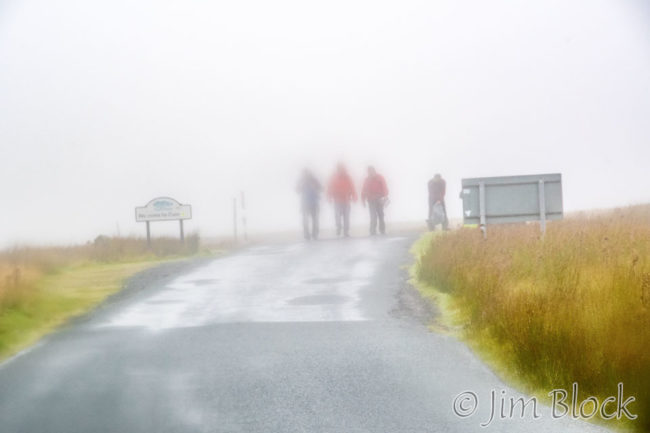
Kirkby Stephen to KeldIt was a very soggy day slogging crossing the moors with rain and fog. We got lost, but found our way to our lodge in Keld where we dried off and had a nice dinner. |
Keld to ReethWe finished our planned 2/3 of the C2C with a hike through the remains of iron mining operations. Along the way we saw some red grouse. |
|
 |
 |
|
|
|
|
|