On a warm and very humid day, Bruce, his dog, Caro, and I hiked over Mount Sunapee yesterday. We followed Sunapee-Ragged-Kearsarge Greenway Trail 1, which consists of the Newbury Trail up, the Solitude Trail across the ridge line, and the Summit Trail down to Goshen.
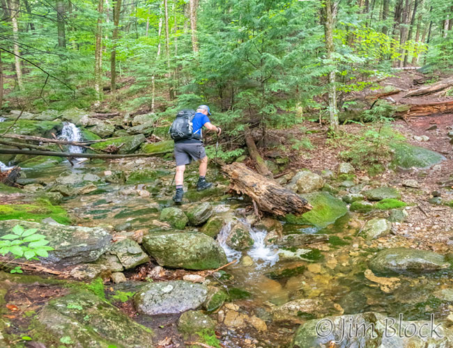
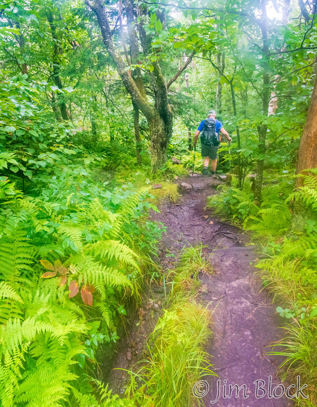
It didn’t rain, but it might as well had. Only a very short time into the hike I was soaked with perspiration. We kept our feet dry even though parts of the trail were quite wet – it had rained the previous day – but that was about the only thing that was dry. Here is Bruce crossing a stream shortly after 7 AM near the beginning of the hike.
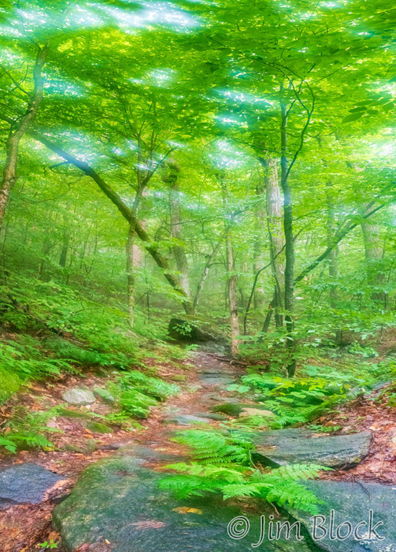
It was very foggy all morning. That made for great light in the forests for photography. The extreme humidity – you could just feel the moisture in the air – did an interesting thing to the UV filter on my lens. It was impossible to keep it dry so many of the photos have an “artistic” quality to them with lots of flare caused by moisture on the glass. This flare added another touch of softness to the photos.
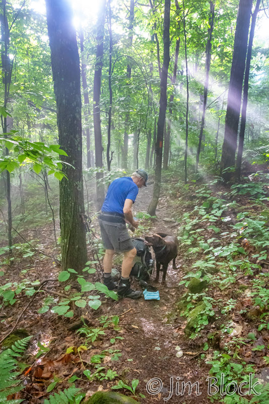
After about 45 minutes of fairly steep uphill climbing, we stopped for a water break and to give Caro a snack. The sun came out very briefly and for a few seconds the forest was lit with crepuscular rays.
From the same spot but looking in the opposite direction, I made this 6-photo panorama.
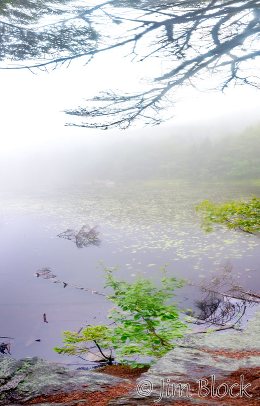
About two hours into our hike we reached the junction with the Monadnock–Sunapee Greenway and took a detour down to Lake Solitude. We didn’t expect to see much in the fog, but it is such a beautiful place that we wanted to visit it, at least briefly. Across Lake Solitude rise the cliffs of White Ledges. However, this day they were hidden by the fog as can be seen, or not seen, in the image below.
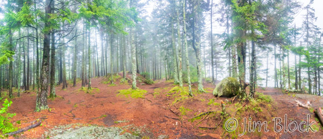
The Eastern shore of Lake Solitude is quite beautiful. I made this 7-photo panorama of that area. In the background is Lake Solitude in fog.
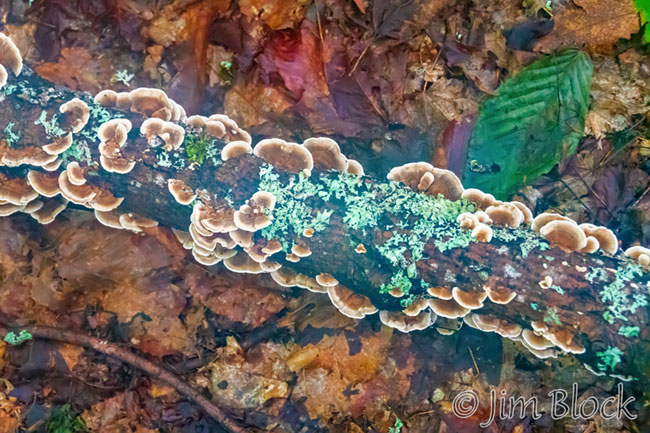
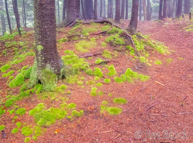
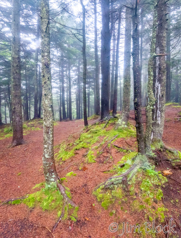
Below are two more photos from this area.
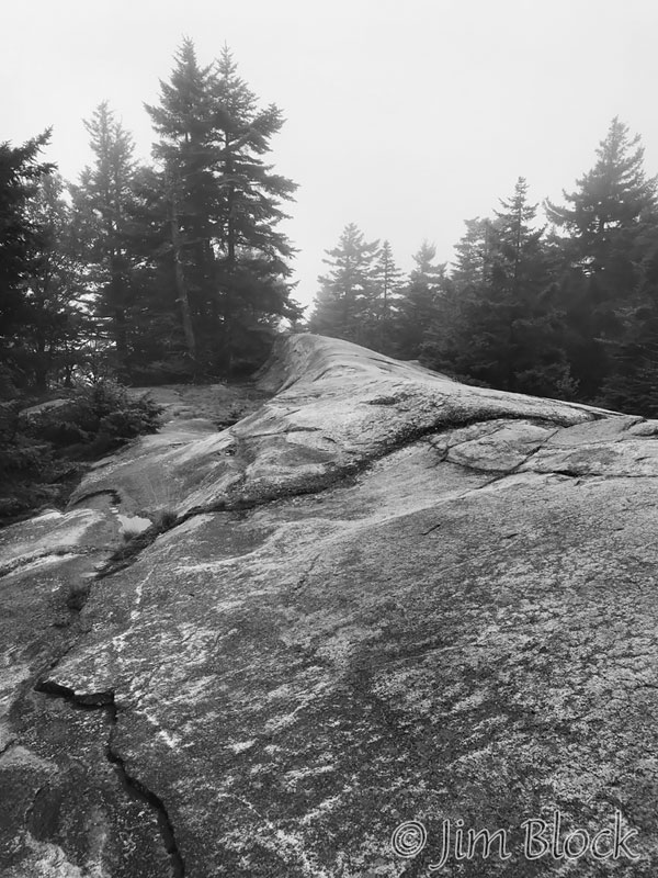
We climbed up to White Ledges but didn’t go out to the edge of the cliff. We knew there would be nothing to see except fog. I created a waypoint in my GPS app and took an iPhone photo from the spot. Since I took the photo through the GPS app rather than a different app, the image was saved as a JPEG rather than a raw file. The image that resulted was nearly completely grayscale. I edited the photo to make it into the fully grayscale image that you can see below.
We got to the ski trails at the summit, and I took a photo looking down at Lake Sunapee. The fog had cleared just a bit at this point so we could make out several of the islands on the lake.
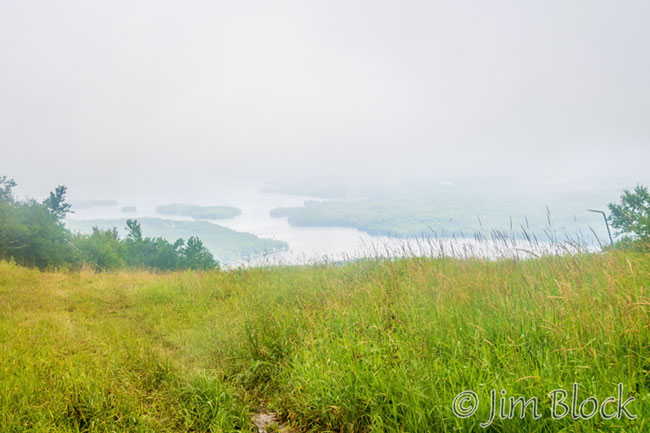
The chairlift was operating, but we only saw one person at the summit. I expect later in the day it would do better business than it did at a bit before 10 AM.
We had a brief snack on the deck of the upper lodge and then headed down the Summit Trail. On the way down we saw about two dozen folks heading up. They had obviously come from the ski area parking lot rather than the tiny lot at the Old Providence Trailhead at the end of SRKG 1.
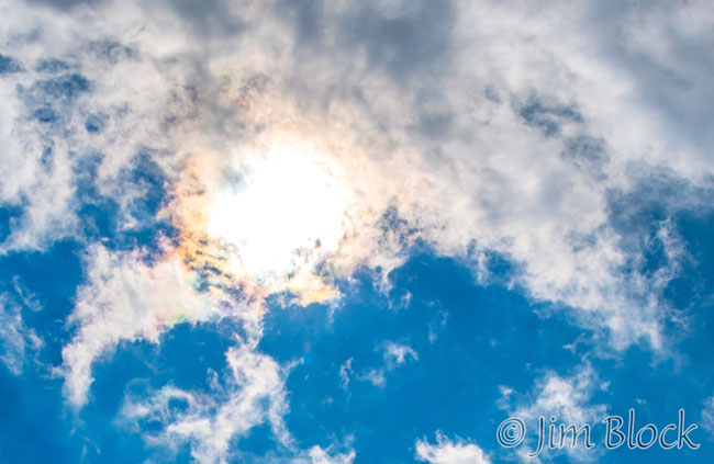
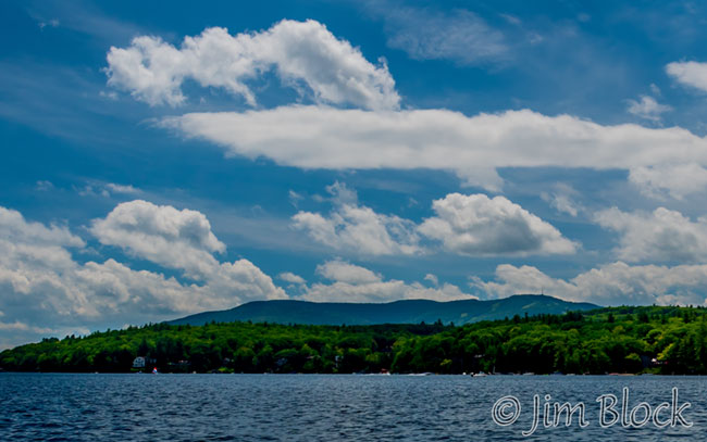
Around noon we had lunch at Newbury Harbor. The fog was beginning to clear and the sun was shining. Here is how the mountain looked from across Lake Sunapee a bit before 1 PM.
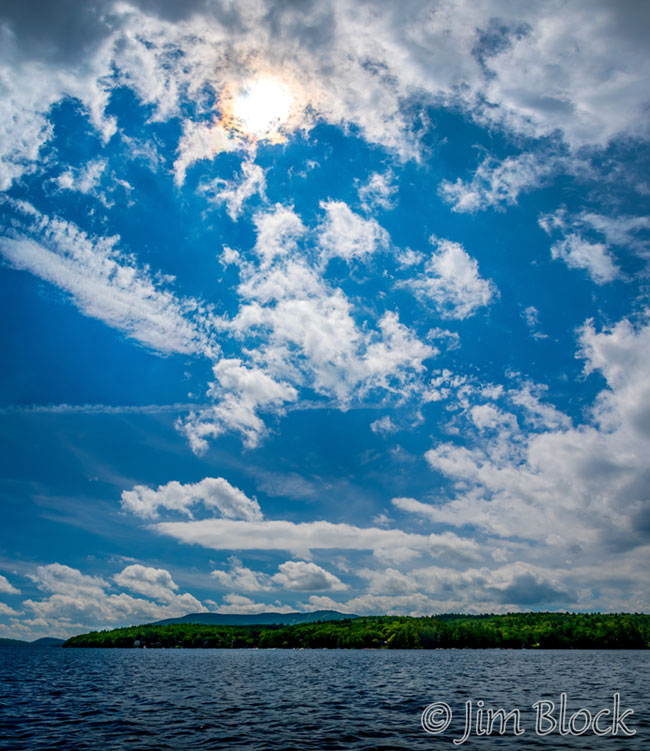
Surrounding the sun are some faint iridescent clouds. You can see them better in this cropped version of the image below. You can read about this phenomena and see many photos of this and other interesting optical events in the sky if you CLICK HERE.
Below is another cropping of the previous image which shows the ridgeline of Mount Sunapee that we traversed left to right.
You can see what this beautiful hike looks like on clear days in all seasons if you CLICK HERE.