Three decades ago I blew my shot at fame and fortune—and regretted it ever since. On Friday July 30, 2010, I finally got some redemption. I went out and just did it, documenting the accomplishment with camera and GPS.
Back in the dark ages, before “technology”, WiFi, cell phones, digital cameras, email, and a full 10 years before Photoshop, my daughter, Heather, and I set off on a Century ride in western Maine. My family was staying in a rented cabin on Rangeley Lake. Heather and I did 80 miles of the ride and arrived back at our cabin for a short rest. The lounge chair was so comfortable I let Heather do the last 20 miles, a circuit of the lake, alone. I have always said I do not regret things I have done, only things I have not done. This was certainly a prime example.
Interestingly, Heather’s memory of our ride was kinder than mine. In a recent conversation with my wife, Jann, she commented that she remembered we did the whole 100 miles together. It was only when Jann said it was otherwise that she remembered doing the loop on the partly unpaved road around the lake herself. Heather’s memory includes the recent comment, “I remember the 80 mile loop being very hilly, and I was thinking we could have picked flatter terrain to ride that far on.”
Somewhat after that our family rode less and less, Heather and her sister, Jennifer, went off to college, and the four old 10-speed bikes were relegated to storage. When I purchased a mountain bike 30 months ago, it had been over 25 years since I last rode a bike. A road bike followed this spring and now I ride both as often as I can, perhaps averaging twice a week since spring. So gradually the thought of trying a century ride this summer returned, helped along by a friend who suggested he was thinking of trying one. I hope to join him on that ride when his bike frame returns from the factory.
Another friend who is an expert rider (and the one whose talk about the joys of road biking while we xc-skied together last winter got me to buy one), suggested I should do an 80-mile trip before I attempted a century. (My longest to that point was 67 miles.) She also told me how to prepare the week before and what to eat the few days before the ride. She suggested the ride would be much easier with a SAG (supplies and gear) Wagon, a vehicle that meets the riders at various places with food, water, encouragement, etc. And it is better to not do the ride alone. I naturally ignored all this good advice figuring I should just do it or I might never make the time. So I did. This time I made sure I was 30 miles from “home” when I hit the 70 mile mark. No lawn chair to grab me this time.
I covered 100 miles finishing by 3 pm Friday. Time spent riding, according to my GPS, was 7 hours and 28 minutes. The remainder of the total 9 hours was spend taking photos, stopping for a bagel in the only Henniker on earth, and visiting the Abbott Library twice. I dropped off an excellent 4-DVD set called “Life” at the start of the ride and picked up a DVD called “Misery” near the end at this small but excellent library in Sunapee.
My day began with a very cold boat ride from Great Island, where we have a small 110+ years old cabin, to Burkehaven Harbor where my car and bike were parked.
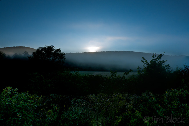
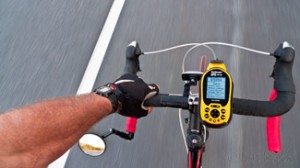
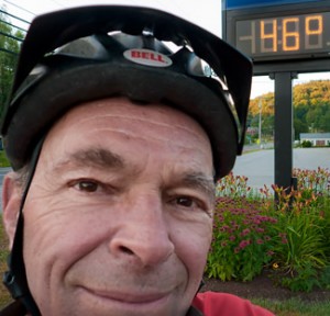
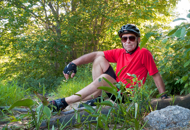
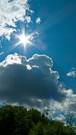
I started my GPS, 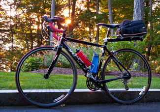 slung my trusty LX3 camera over my head and left arm (where it stayed ready for action the whole ride and was used to take all the photos here during the ride), adjusted my mirror and I was off before 6 am. I stopped along Lake Avenue to observe the rising sun. When I reached downtown Sunapee the bank thermometer read 46 F.
Heading in Newport I photographed a shop 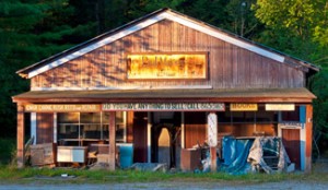
and Lity Pond in the early light.
The ride took me through two major watersheds and the towns of Sunapee, Newport, Croydon, Grantham, Springfield, Andover, Wilmot, Sutton, Warner, Bradford, Henniker, and Newbury. I circled but did not enter New London and came within about 1000 feet of Goshen. During the ride I made a special detour just to enter Warner then to my surprise the route took me into and out of Warner three more times!
My route is shown on the GPS-recorded readout below (Northeast is up so it will fit better). If you click the map it will open larger in a separate window so you can better examine it (if you care) and even download it. Riding up all the big and small hills shown on the route profile below the map, I gained 1.4 MILES in elevation and, since I rode a loop, also glided downhill the same total vertical distance hitting a peak speed of 37 mph. In contrast the much shorter and “easier” ride up Mount Washington gains less than a mile in elevation and is only 15% of the length of the ride I took. But of course the ride up Mount Washington is steadily uphill at a pretty good pitch.
Turning north in Newport I headed up Route 10 through Croydon and Grantham as the sun rose over Camels Hump (the NH one) and Colt Mountain (mountain?) to the east.
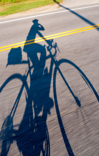
I checked my GPS occasionally, still 88 miles to go, and photographed my shadow distorted by the early low sun as I rode.
Entering Croydon I passed Spectacle Pond
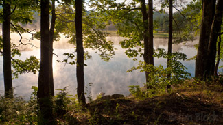
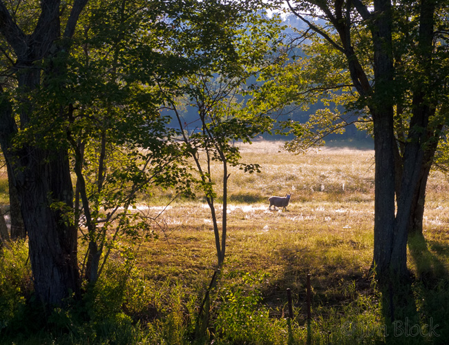
and a farm with sheep grazing in backlight. Backlight is probably my favorite light directions. It is wonderful for “fuzzy” things, can by dramatic for scenes, and, if one must photograph flowers in the sun, it is great for many flowers.
Mile 25, a quarter of the way, I completed a climb into Springfield and stopped for a few photos at the strangely named, Kolelemook Lake.
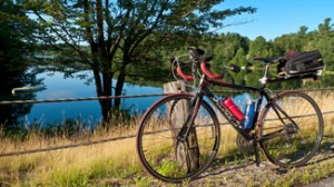
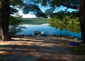
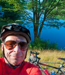
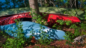
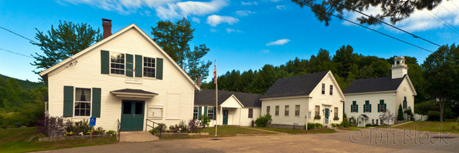
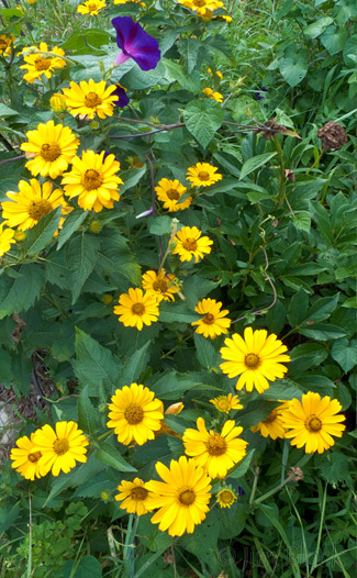
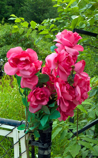
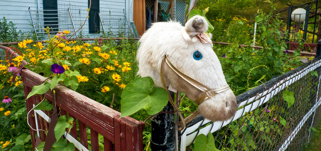
After 35 miles I stopped in the small village of North Wilmot, which is located on the north shore of Kimpton Brook, to take a few photos. To my left was an array of historical buildings neatly painted. To my right in a yard filled with interesting items were real and artificial flowers and a toy horse head.
From North Wilmot it was mostly downhill to Sillyville (aka Cilleyville) in Andover where Route 4A, which started just west of Lake Mascoma, ends at Route 11. I’ve driven the length of 4A in fall stopping at many places and getting some nice foliage photos. It is one of the best “unknown” fall foliage locations in the area. Early morning can reward you with a moose sighting. Just east of the Cilleyville covered bridge is the Blackwater River and some small pools and rapids that make good photo subjects. Today I did not linger but headed up Route 11 to the Kearsarge Valley Road, one that interestingly is not “mentioned” on biking maps. This took me past Mount Kearsarge (no big surprise), the Country Club of New Hampshire (golf course), and under I-89 for my first snack of dried fruit and nuts along the shore of Gile Pond.
Although the loop into Sutton Mills is only a very short diversion, I impulsively took it turning suddenly before a huge new building that is being erected. Sutton Mills is a pretty village with a nice waterfall of the Lane River. As I entered the village I spotted a deer with fawn on the road ahead. I quickly reached for the LX3, zoomed in to the maximum magnification (which on this camera is practically no telephoto at all) and toggled the aperture to its widest setting (to get the fastest shutter speed since I did not need depth of field at the distance I would be shooting). The deer saw me but I got off a few shots while riding toward it.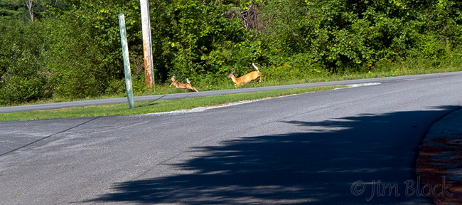
The LX3 is an unusual camera. I like it a lot, but it is not for everyone. Features that are very attractive to me include a very fast lens (f/2) for a point-and-shoot camera, a nice wide angle (24mm equivalent) view, ability to make all the settings I need to make in a hurry without using menus (aperture, shutter speed, exposure compensation, focus point, among others), and a wonderful macro ability (at wide angle it focuses to less than a half inch). Its main drawback is a very short (2.5x) zoom range; it is mainly a wide angle camera. Of course it shoots RAW, something that is a must in any camera I would consider buying.
In South Sutton I took a left on Roby Road and unceremoniously passed the halfway point. Then I dealt successfully with some road paving as I headed up Route 103 toward Bradford. A left on the third piece of Route 114 of this trip took me past the packed Bradford Junction Restaurant. It was tempting to stop because over the years I have had great breakfasts there. I took a brief rest stop at the boat launch of Lake Massasecum. I did not ask the young woman checking boats for invasive weeds if she was checking them as they came into or out of the lake since Massasecum unfortunately has a large area of millfoil at its north end.
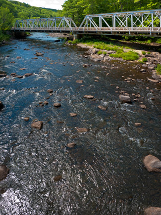
After pedaling for 70 miles I reached to the far point of the ride, by design approximately a 30 mile trip back to Burkehaven. There was no doubt about it now, I was going to complete a Century Ride (or be dialing 911). The Whaler was in Burkehaven Harbor so a phone call to Jann to come and get me was not in the cards. I photographed a bridge over the Contoocook River taking four horizontal photos and “stitching” them into a vertical image in Photoshop CS5. The bottom part of this photo is looking nearly straight down.
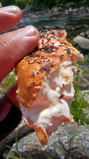
Back to Henniker and a search for a bakery for lunch. I didn’t find what I was looking for, but did find a sandwich shot with fresh-baked bagels. One “Everything” bagel was left and cream cheese filling sounded great. While waiting for it to be prepared and warmed I asked, “Could I get my water bottle filled?” “Do you want ice?” “You bet, thank you very much.” So she and this small shop served as my SAG Wagon for the trip.
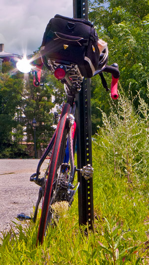
I rode the short distance to the Contoocook River, leaned my bike against a post at the edge of a parking lot, and gingerly climbed down over a few large rocks with my slippery bike shoes to a place where I could sit, streatch my acking legs, and enjoy the bagel. It was probably the best bagel I have had in my life, and not just because I had ridden 72 miles. It was GOOD.
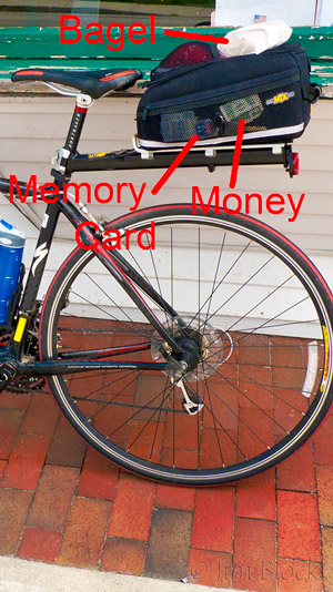
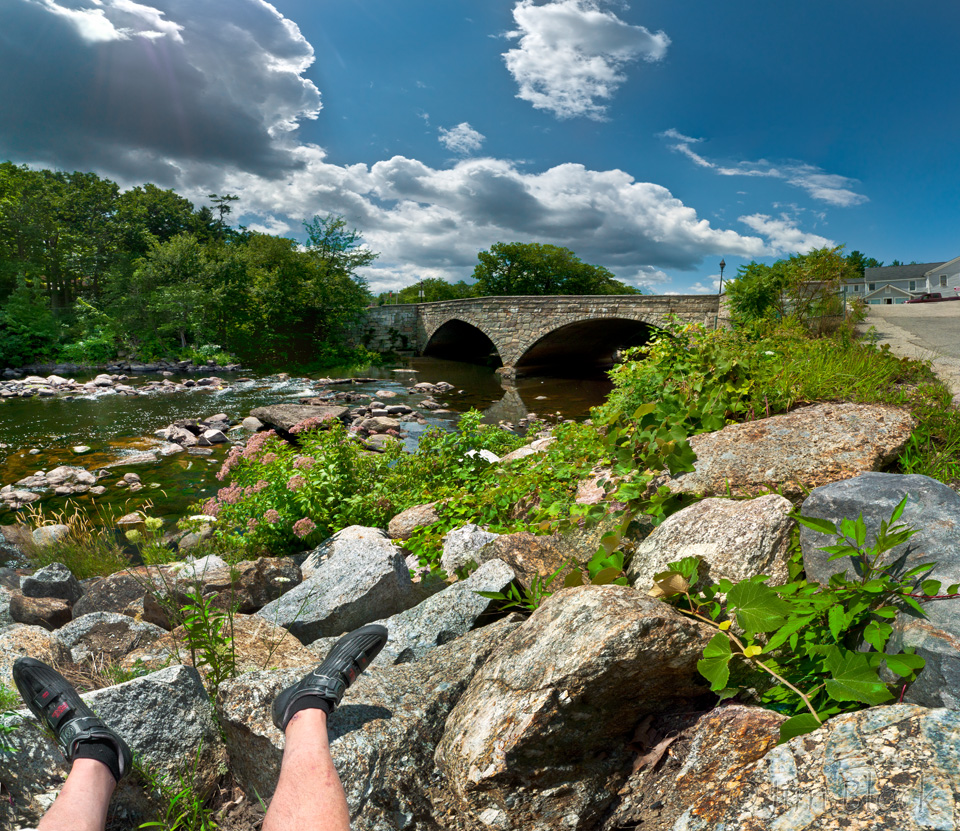
The image above was stitched together from 15 individual photos taken with my LX3 while sitting eating the bagel. The river is the Contoocook and the bridge leads to New England College. If you click this image you will be taken to another page where you can zoom into the image, pan around, and examine details.
By the time I reached Massasecum again I felt I was going to die and perhaps be laid to rest in Pond Cemetery near the lake.
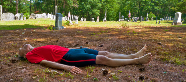
But I managed to mount my bike again for the long climb out of the Merrimack River Watershed to the Connecticut River Watershed and Newbury Harbor on the southern shore of Lake Sunapee. 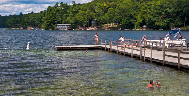
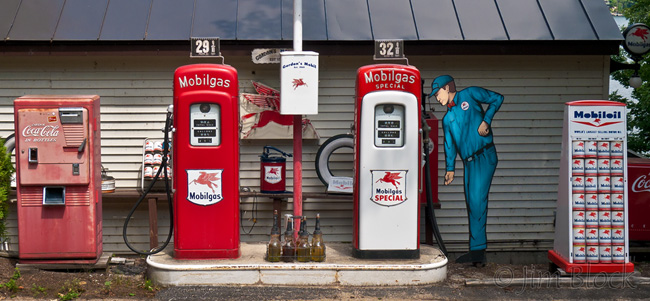
Just beyond Newbury Harbor I stopped at a little-known gas station to check the air in my tires. This station reminded me of the way things were when I bought my first car–a red Nash Rambler. They didn’t have a Presta valve on their air pump but my tires felt fine, much better than my aching thighs, so I moved on.
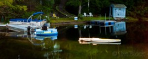
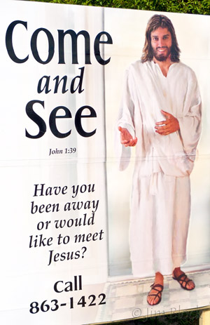
Back in Sunapee, nearing death and considering if I would meet my maker before I finished, I was urged instead to meet his son. But I passed up the opportunity and headed the final few miles by the harbor and around Lake Avenue back to Burkehaven Harbor. The tiny boat in the middle of the photo is mine.
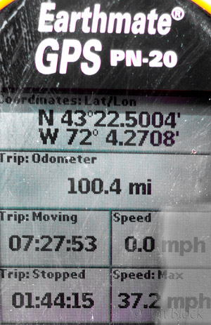
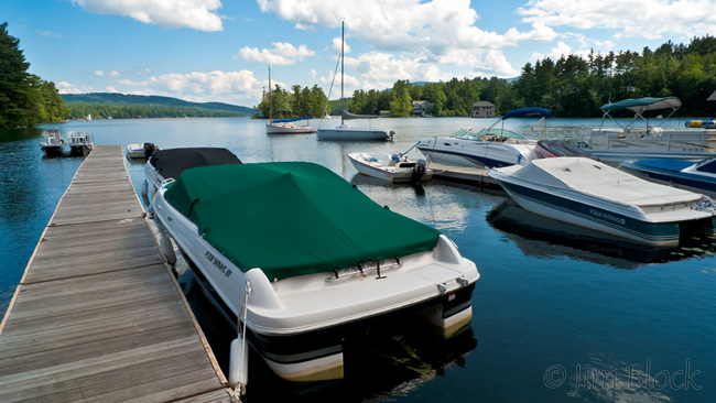
I finished the ride with two half empty water bottles, half a bag of homemade dried fruit and nuts mix, and an unneeded energy bar (actually a Reese’s Peanut Butter Cup two pack). Got back to the cabin to an adoring wife who suggested two Aleves. I slept well and actually felt great in the morning.
I followed this one up with two more century rides during 2010. You can read about the second HERE and the third in the Northeast Kingdom of Vermont HERE.


