I visited the Slade Brook Watershed above Old Lyme Road three times in March on snowshoes. The first two times were Sunday morning Hanover Conservancy “pop up trips” led by Hugh Mellert. The third I did on my own.
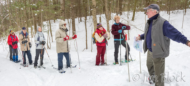
On March 11, we met at Hugh’s house before walking a short distance down the road to the trailhead.

Hugh led the group across the lower bridge constructed in 2000.

I found the pattern of decay in this cut log interesting.

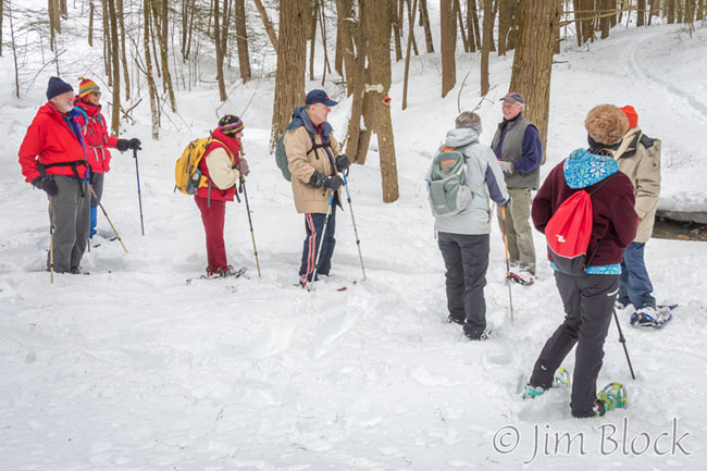
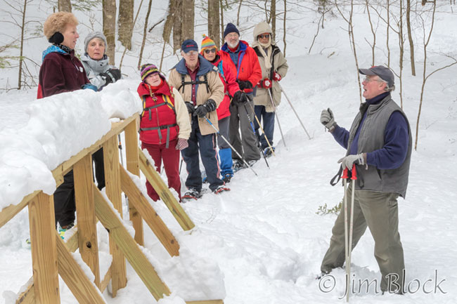
Hugh would occasionally stop to tell us about the history of the area. His comments were informative and interesting.
This photo was taken from near the spot where a bridge washed out and will be replaced this summer.

On the way back we did a short bushwhack to view a mostly-snow-covered waterfall. The day was very overcast, and there was even a bit of snow.

It is interesting to compare the light and color of the same falls a week later when the sun was shining. The blue-tinted shade is caused by the blue sky illuminating the areas that the sun does not hit.

Here is the same spot March 19, 2010.

Slade Brook is seen below during the second Sunday trip on March 18, 2018.

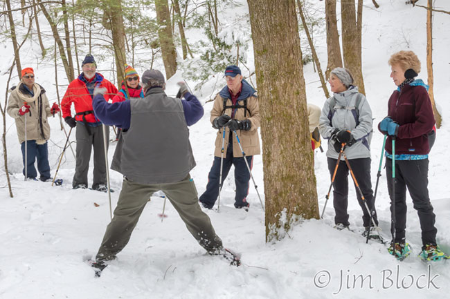
This time Hugh entertained a different group of hikers.


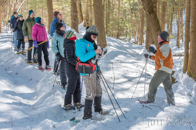
Hugh demonstrated crossing an ice bridge. Until the new bridge was built last summer, this was the way one crossed Slade Brook at this spot.


After the hike Hugh showed us an old photo of the area looking north along Old Lyme Road from Dogford Road.


For my third visit I parked at the corner along Dogford Road where Old Spencer Road begins. As I headed downhill I saw that someone was sugaring this area.


I reached the point where two roads diverged in a wood. I had already taken the one less traveled by — Old Spencer Road — so I headed up the more-traveled Bridle Trail.

I traveled a short distance up hill, crossed the new bridge, and turned right to follow the trail along Slade Brook. It was a beautiful morning.
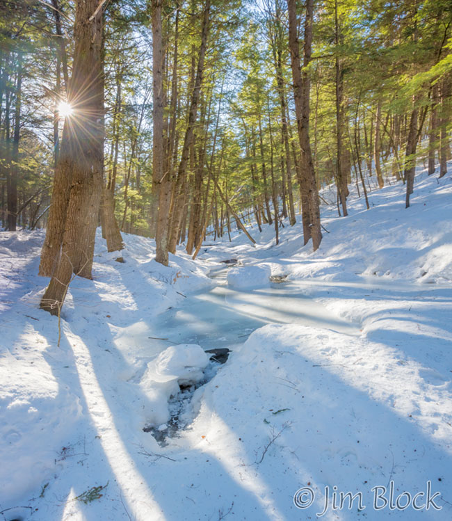
I stopped at the spot where a bridge had washed out. You can see a piece of it on the right side of the photo below.
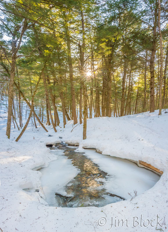
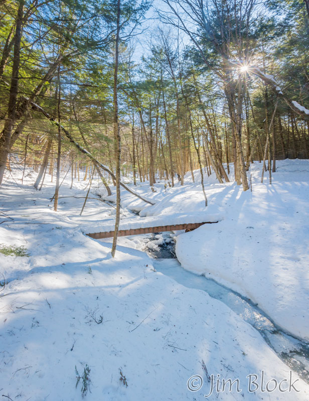
My plan was to follow Slade Brook upstream from this spot along a trail that is not on the map. I did that for quite a distance. I eventually crossed a bridge and headed back to my car.
The three outings were different, but all were enjoyable.

