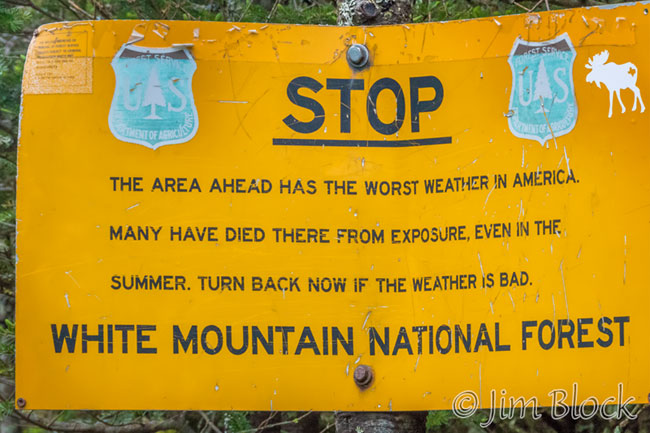
Bruce and I hiked to the summit of the 4780 ft Mount Eisenhower last Thursday. We headed up Edmands Path at 7 AM and returned to our car at 1 PM, shortly after it started to sprinkle lightly. Bruce timed it perfectly, as some significant rain arrived a bit later. We covered about 7 miles and gained 2900 ft elevation.
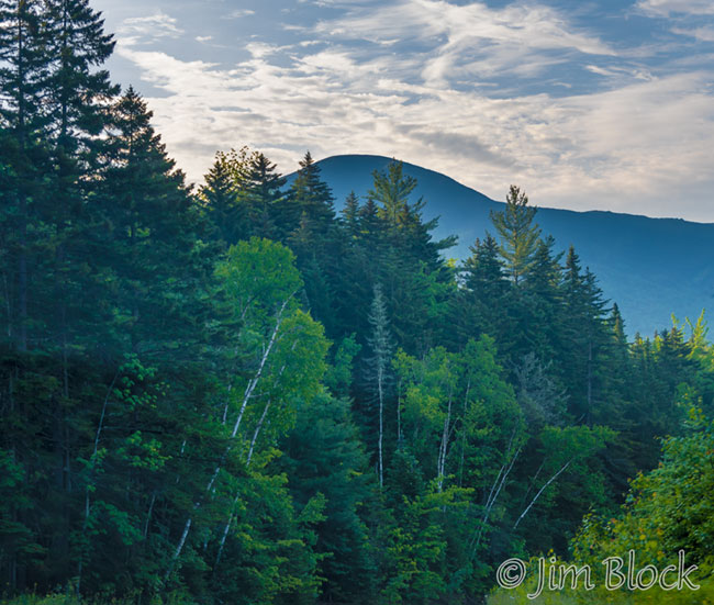
En route I got a quick photo of Franconia Notch…
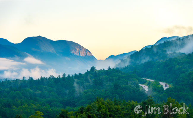
… and Mount Eisenhower shortly after it came into view. Both of these were taken from a moving car — Bruce was driving.
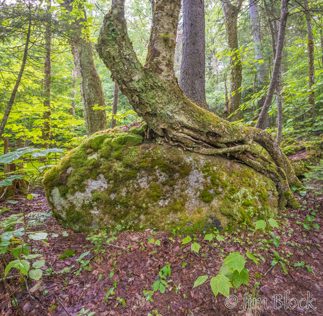
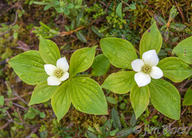
The first part of Edmands Path was gentle. There was a tree hugging a rock along this stretch.
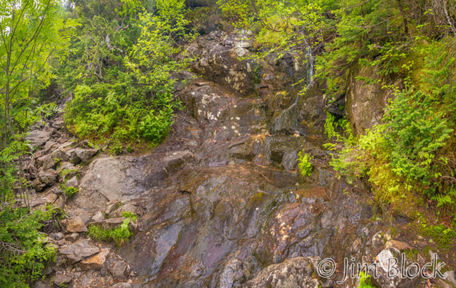
Two hours into our hike I took this photo of a small waterfall crossing our path.
At 9:22 we reached the Alpine Zone.
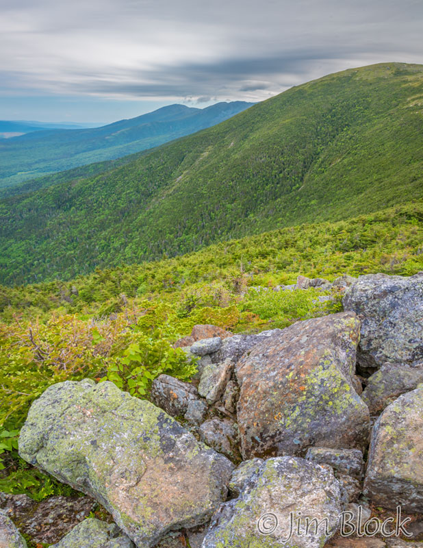
I heard a strange sound off in the distance. It was the cog railroad train tooting. We soon were well above tree line. We got a brief glimpse of Mount Washington, but for most of the time it was behind a nearby hill or in the clouds. We crossed a boulder field.
We reached the junction of Edmands Path and the Crawford Path. Bruce, who worked at several nearby huts during his college years, told me the story of both these paths. The Crawford Path was created by a pair of “superhumans” and their helpers to carry wealthy tourists from Crawford Notch to their hotel on the top of Mount Washington on horses. It is amazing horses could walk the stretch of the path we covered.
It was very windy up there; so we put on our jackets. Below is a 16-shot panorama from the junction that shows two of Mount Eisenhowers behind two of Bruce.
You can click on the image, zoom way in, and explore. You can double click to zoom way in and use the left mouse to pan around. You can also use the + and – keys to zoom and the arrow keys to scroll. Please wait for the resolution to download.
Bruce asked if I wanted to climb to the summit — a considerate, but unnecessary question. I did not work this hard to get here and not go all the way. As we did the final ascent we met a pair of school teachers who were soon returning to Portland, OR from NYC after a visit to Acadia.

")
")


")
")
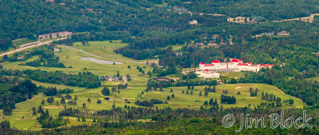
There was a nice view of the Mount Washington Hotel from the top.
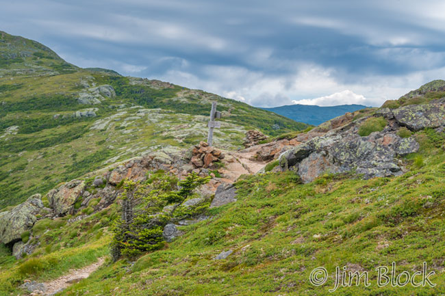
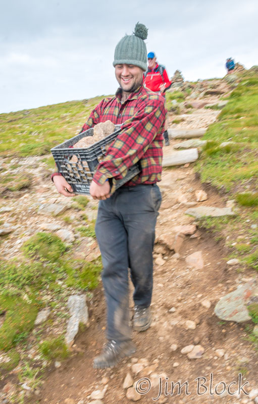
I hiked down to the south because it looked like there would be nice views from there. I met some workers building short walls on the side of the trail to discourage hikers from trampling the delicate alpine vegetation.
Bruce joined me and asked if I wanted to take a loop to the south before heading down. I didn’t take as many photos from the top as I might have, but I said, “sure”. So we headed down south, then back up the Crawford Trail.


")


")

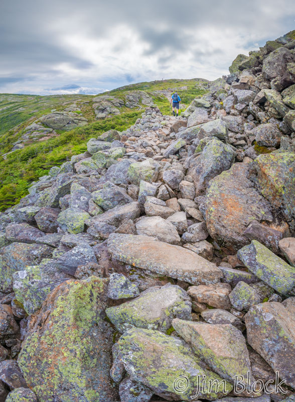
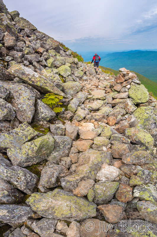
Edmands Path has a boulder field at the top. Here we are heading down. On the way down several winter wrens serenaded us.
It was a great day and a wonderful hike. My legs felt the exertion the next morning, but I’m very glad I did it. I need to hike more in the White Mountains. Want to join me, or lead me? Contact me HERE.