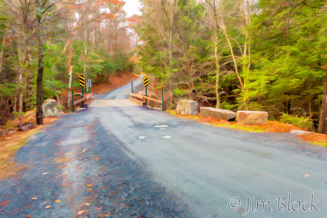
We had some rain after a dry summer and fall, so I travelled to my favorite local moving water venue the last two days of October. Here is a funky view of the new bridge over Bicknell Brook. The Colette Trail heads upstream and downstream from here along the brook. This area is conserved under the auspices of the Upper Valley Land Trust.
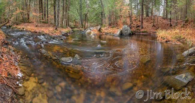
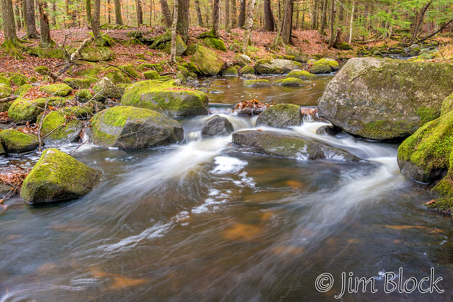
My first visit was Sunday afternoon. I decided to head far downstream to photograph parts of the brook I normally ignore. The rapids and falls are less dramatic in the last section before Crystal Lake, but it was fun seeing what I could get. This section starts with a large pool where the brook takes a sharp left turn.
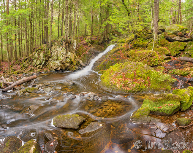
Farther along there was a somewhat disorganized section with small rapids.
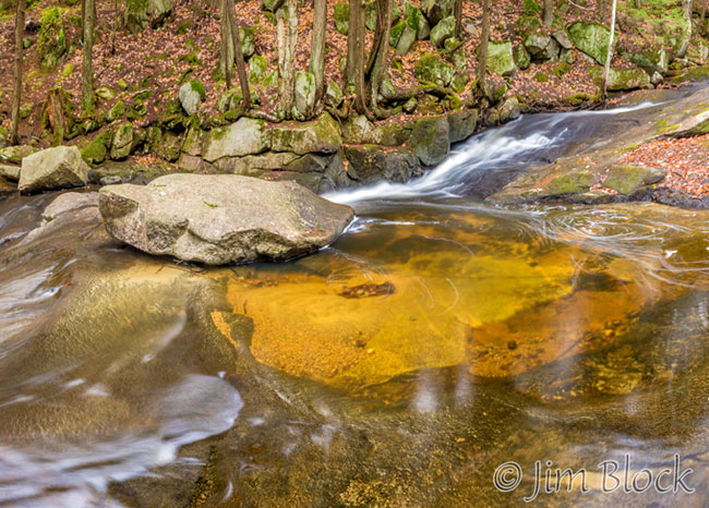
Below that was another broad pool with many boulders.
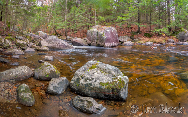
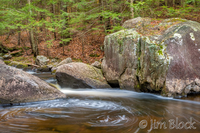
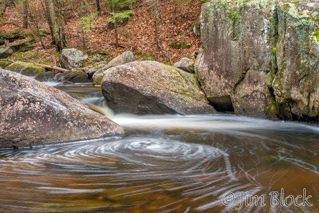
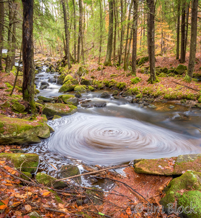
Here is a closer view of this spot. The eddy made a nice swirl.
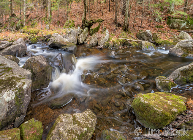
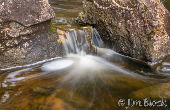
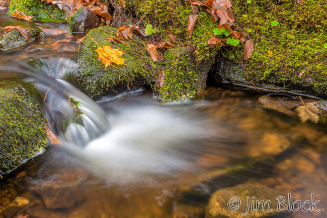
A bit farther along was a small drop between two rocks. I wonder how this spot looks in spring when the brook is really full.
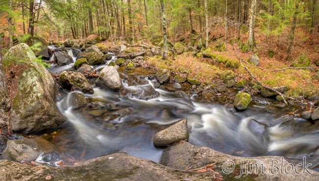
I photographed another section with a jumble of rocks and small rapids before heading a bit away from the brook on the final part of the Colette Trail before Crystal Lake.
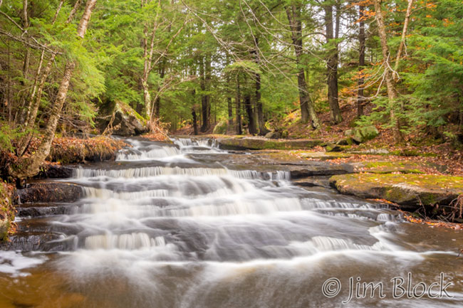
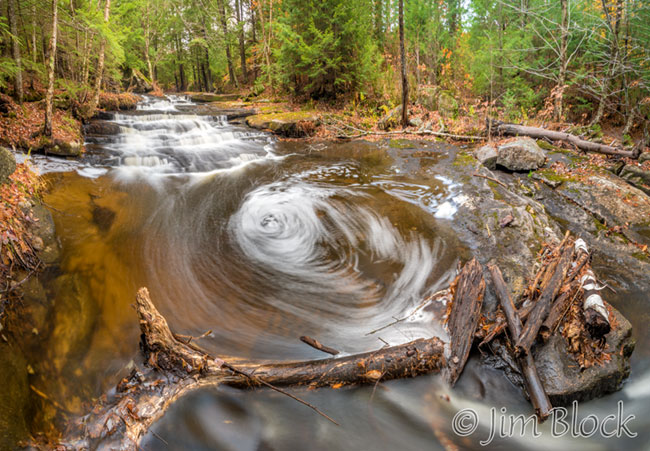
Heading back I decided to skip the largest falls of Bicknell Brook which are just downstream from the road. Instead I headed upstream on the east side of the road. This section has a nice step falls and several other spots I like. I found a very nice, large, well-organized eddy.
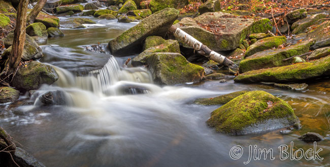
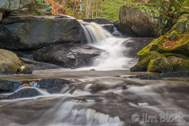
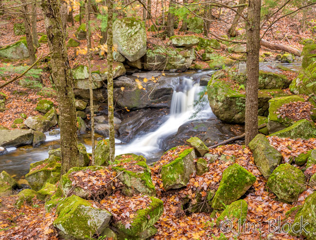
The step falls had a good amount of water.
I found the swirl just below these falls interesting.
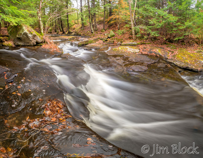
The photo below shows the brook just upstream of the step falls.
I ended this photo session about two hours after I arrived by making a quick shot of the chutes downstream of the road.
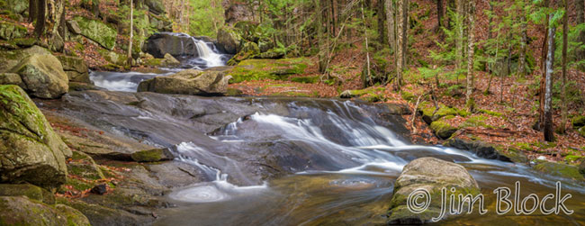
Monday threatened to become sunny, so I headed to Bicknell Brook early before the sun broke through the clouds. I decided to head downstream on the “wrong” side of the brook. This side is rarely visited since there is no trail. But it provides some nice viewpoints of the falls and chutes. Here is the first waterfall below the bridge from the south side.
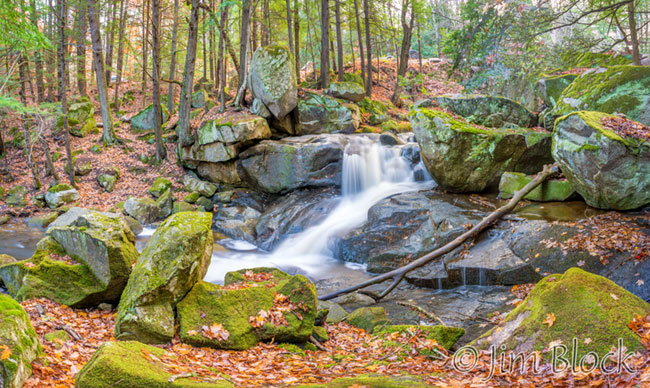
Heading downstream just a bit I got this shot of the same falls with some chutes in the foreground. Magically, the bridge is not in this image.
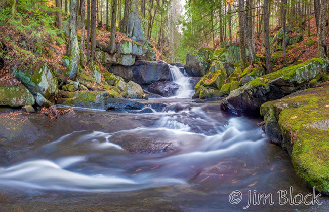
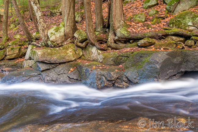
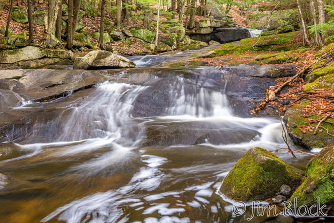
Below that spot is another nice set of chutes.
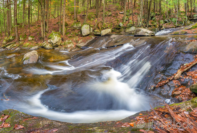
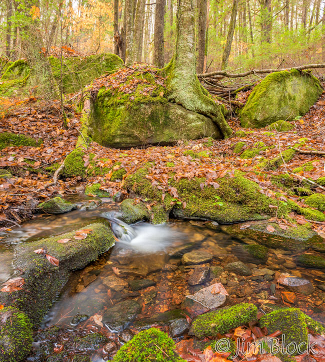
I headed a bit away from Bicknell Brook to check out a small side stream.
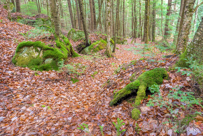
Here is a detail of that side stream.
From the cliff along the Colette Trail, the longest drop of the brook appears to be almost straight down. Below is a photo from December 2009 from the cliff above the falls. It almost looks like spring or summer.
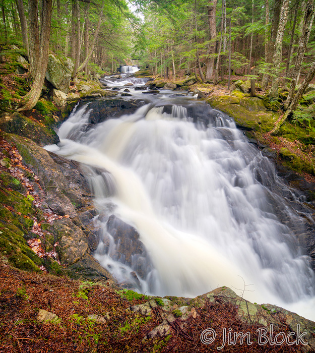
But from the south side these falls take on a different look.
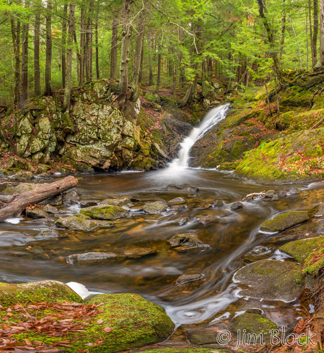
I ended the morning by crossing back to the parking area side of the bridge and getting a photo looking down at the brook just before the first falls downstream of the road.
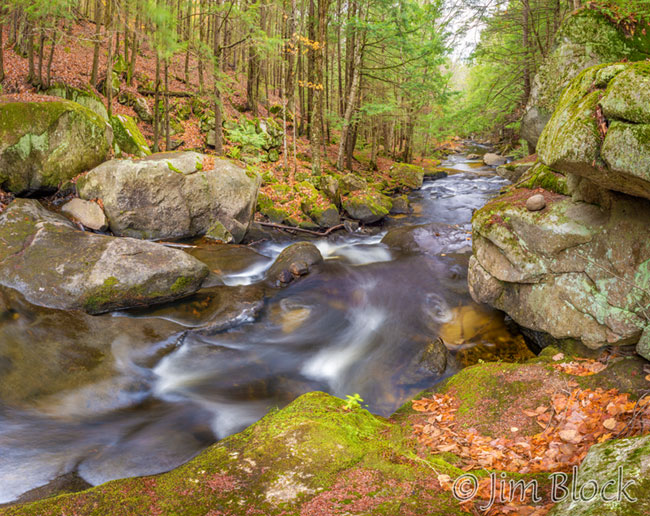
For those who care about such things, many of the images here were stitched from multiple shots. I have put five pages of large panoramic images of Bicknell Brook on this web site. You can get to these pages using the links on THIS PAGE.
I have put links to other pages of photos along Bicknell Brook and the Colette Trail at the bottom of this piece. As you can see, this is a favorite spot of mine in all seasons. It can be spectacular in winter, but the footing can be tricky. Microspikes or similar are strongly recommended.
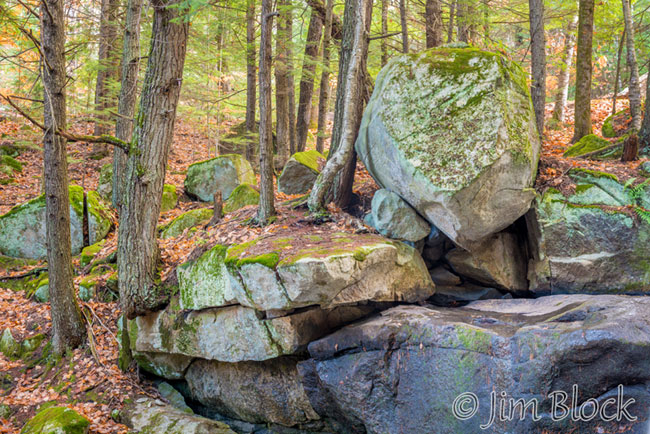
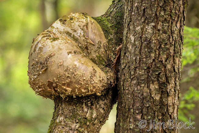
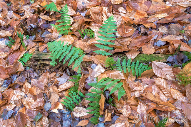
Here are some for the other photos I took the last two days of October.
I have a special menu spot on this web site for Trails. One of the Trails of the Upper Valley is the Colette Trail along Bicknell Brook.
HERE is Bicknell Brook in Early Spring of 2015.
In February of this year I visited Bicknell Brook. You can see photo from that day HERE.

