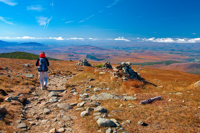
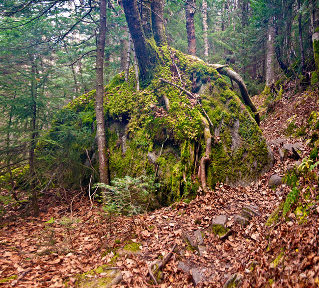
On a Blue Sky day Peg and I experienced high winds and a dense frozen fog when we summited Moosilauke in mid-October (the 13th to be specific). Earlier heading up the Glencliff Trail, which is the Appalachian Trail up the 4802 foot mountain from the south, we stopped to shed layers to keep from sweating too much. Nearby a tree’s roots embraced a large rock.
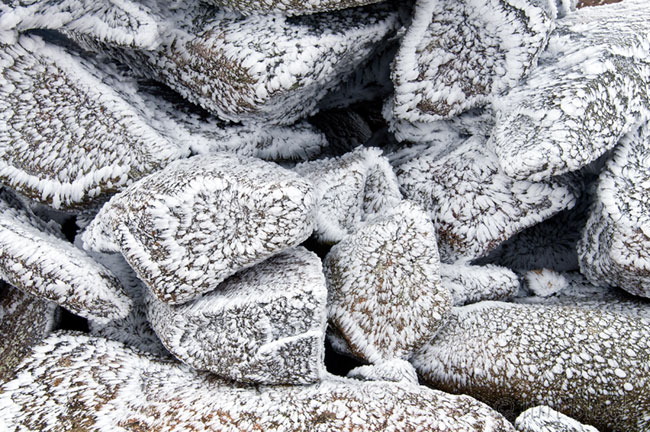
But when we reached the Carriage Road, 0.8 mile from the summit, we knew we were is for strong and cold wind with no visibility. Layers of wool, windbreakers, hats, and gloves/mittens were donned as we proceeded. A short distance along the short, stunted boreal forest showed frosty tips as did the coarse grass. 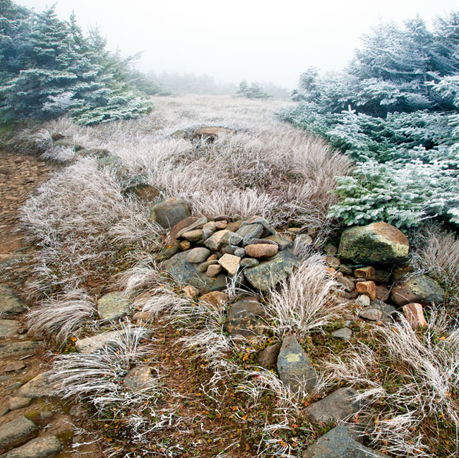 The summit was indeed frosty and the wind vicious. We huddled in the shelter of the old hotel rock foundation contemplating what we should do next—it was only 9:30 am.
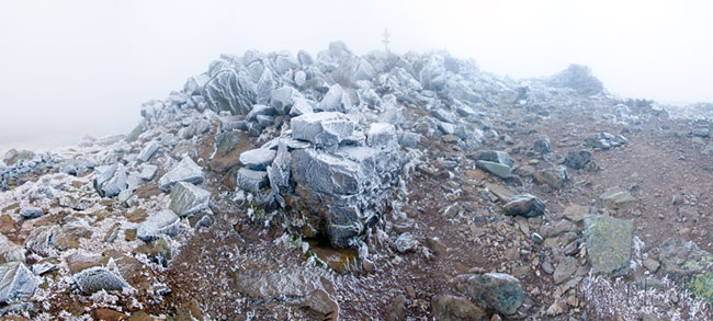 I decided to fight the wind and make some photos—both sweeping panoramas and close ups. If you click the panorama below you will be taken to a page of panoramas from the day so that you can zoom into the images and examine the scenes in detail. But be sure to return here too.
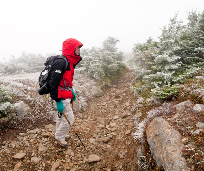
 Peg read the guide book and we decided to hike the one mile to South Peak. Here is Peg heading back the Carriage Road.
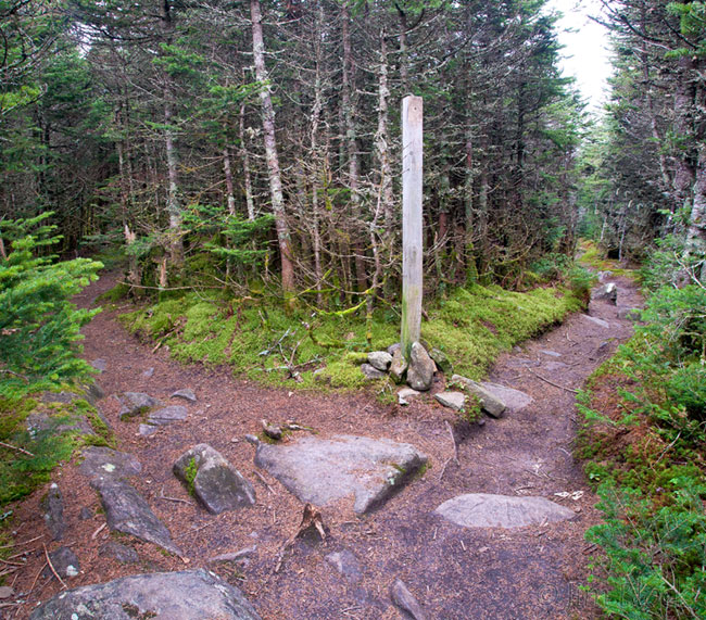
  The spur trail to South Peak is a few paces down the Glencliff Trail from the junction with the Carriage Road. In this photo the spur trail heads to the left.
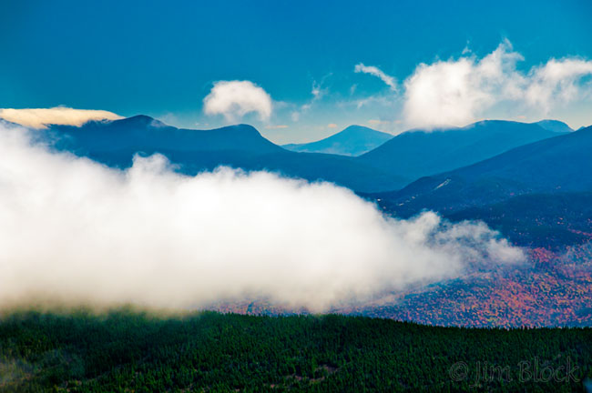
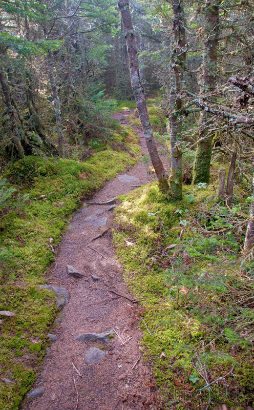 As we headed up the spur trail the sun broke through momentarily, but then it was gone again as the fog moved back in. The spur trail seemed much longer than the claimed 0.2 miles from the junction with the Glencliff Trail. We climbed through frosty trees and found the wind and fog similar to what we experienced earlier on the summit, but then we started to get glimpses of distant mountains as the fog came and went. At times it looked like the fog was disappearing for good only to have it blow back and cover us. Below is a quick photo of the mountains to the east during a brief break in the fog. The slash on the mountainside is the Loon Mountain ski area above the town of Lincoln. We are looking down the Kancamagus Highway slightly to the north of east. I haven’t figured out what the peak in the far distance is yet, but perhaps you can tell me.
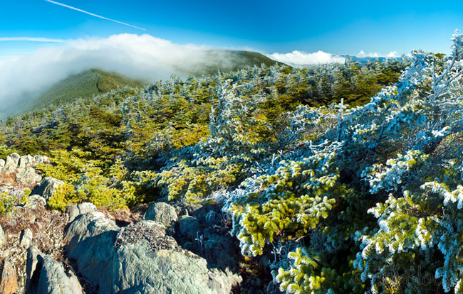
 The periods of sun were getting longer now and the summit looked like it might actually clear. From the South Peak, from time to time, we could see the summit just covered with fog and the Carriage Road leading to it as shown below.
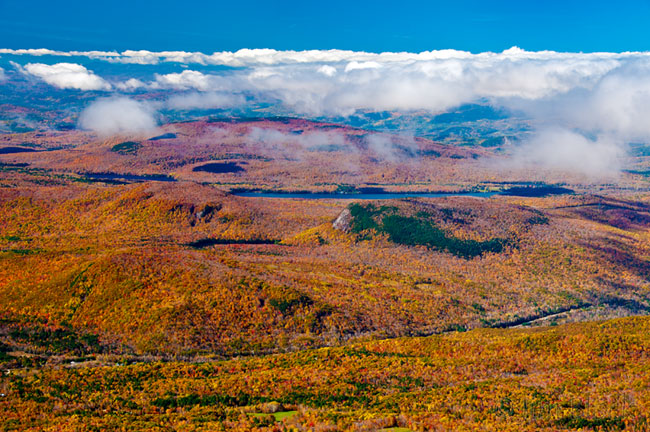
  Then suddenly, for a brief few minutes, the fog cleared and we got a great view to the west to Sugarloaf Mountain where peregrines nest, the Connecticut River, and Vermont beyond it.
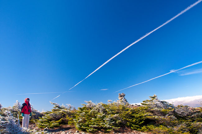
  During a clear break I got this photo of Peg with great “leading lines”. You can see she is still well covered for warmth from the wind and cold.
 We Optimistically decide to return to the summit. As we neared it the fog returned, and then would clear a bit. This process continued for around 30 minutes. The frost on the rocks seemed to be evaporating and the wind gradually lessened.
 I made a number of panoramic images that you can see HERE including this one with a group who had arrived. It is amazing what Photoshop CS5 can do piecing together a handheld series of shots with moving people. The image below is composed of 16 individual shots–something I would not have tried a few years ago when “stitching” by hand was the only reasonable way to get a decent result. They asked about South Peak and wondered if hiking there would give them credit for another 4000-footer. No, but the view from there is different and very worthwhile.
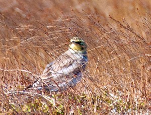 The summit was getting crowded now, but few had any hint that there was otherworldly fog earlier. As we headed back down Peg spotted a bird working the grass in the distance. I managed to capture a poor image that helped her confirm her horned lark ID. Then there were 5, and then a group of 12. As we headed down the view to the west had opened up considerably. After we entered the boreal forest we had brief glimpses of a boreal chickadee.
It was truly an exhilarating and exciting walk with two “experiences” in one trip.