The hike to Franconia Falls is a round trip of around 7 miles, but an easy 7 miles. Except for the last half mile, there is essentially no uphill as the trail follows the old East Branch & Lincoln Railroad. This railroad into the vast 45,000-acre Pemigewasset Wilderness, NH’s largest, was the largest logging railroad in New England. Construction began in 1894. The last trail hauled logs to Lincoln village in 1948 where there was a sawmill, pulp mill and a paper mill. Lincoln, NH is presently home to the Loon Mountain Resort ski area and thousands of second homes.
A friend and I hiked the Lincoln Woods and Franconia Falls Trails in the winter with microspikes. XC-skis would also have worked very well. I hope to return in the spring or summer to see what the falls look like when they are not covered with ice and snow.
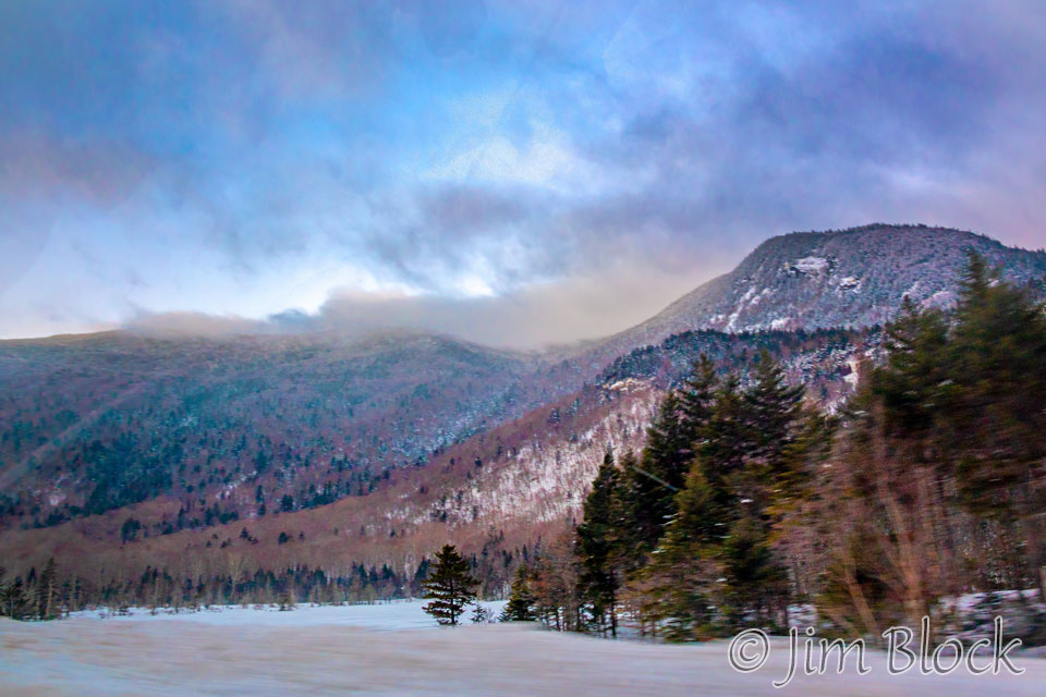
Heading to the trailhead, we sped past Beaver Pond along Route 112 as the sun was rising and the full moon was setting. The mountain across the snow-covered pond is Moosilauke.
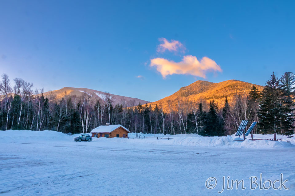
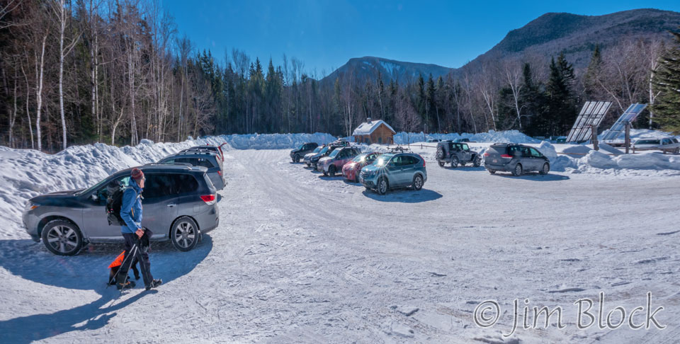
The huge parking lot at the Lincoln Woods Visitor Center, about 5 miles east of Lincoln, NH, hosted only our car at 7:15 AM.
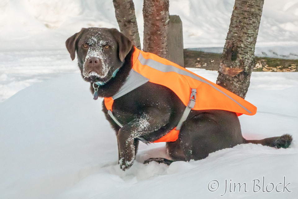
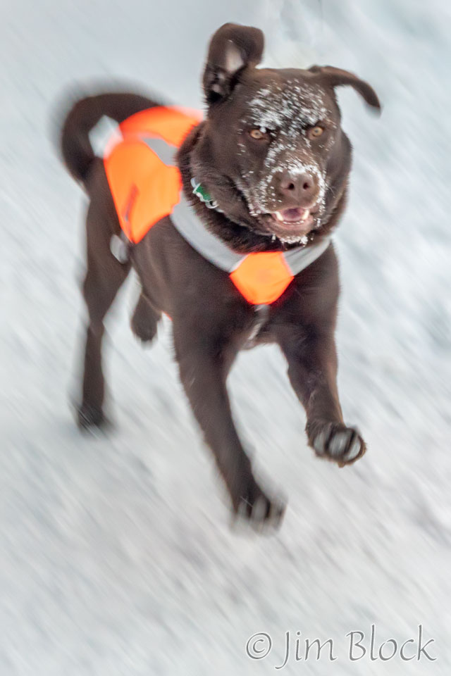
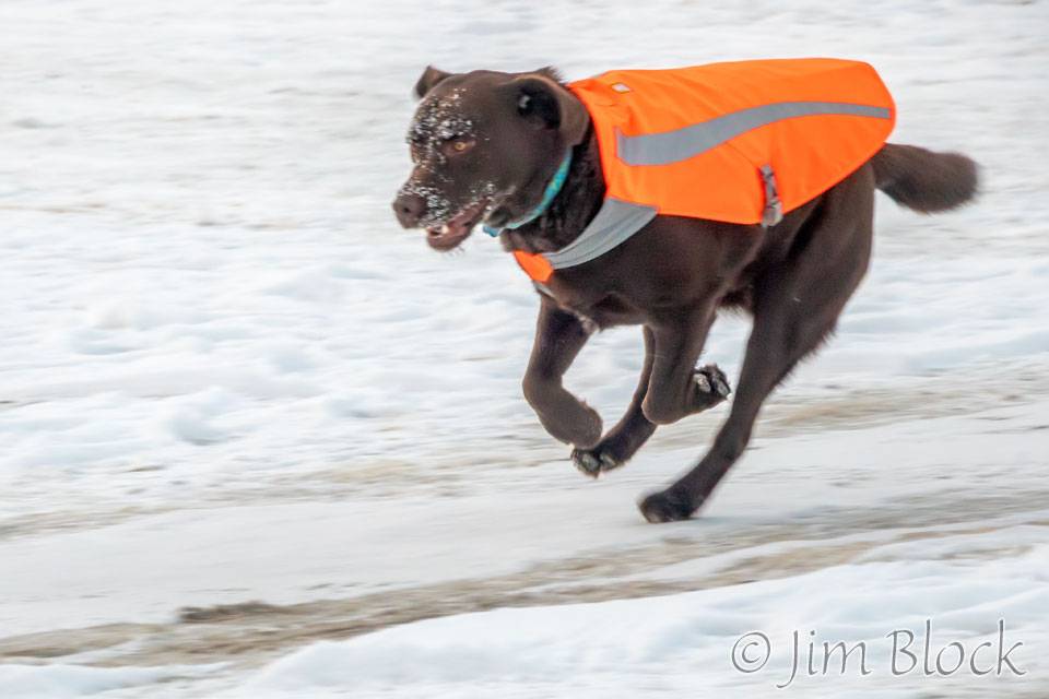
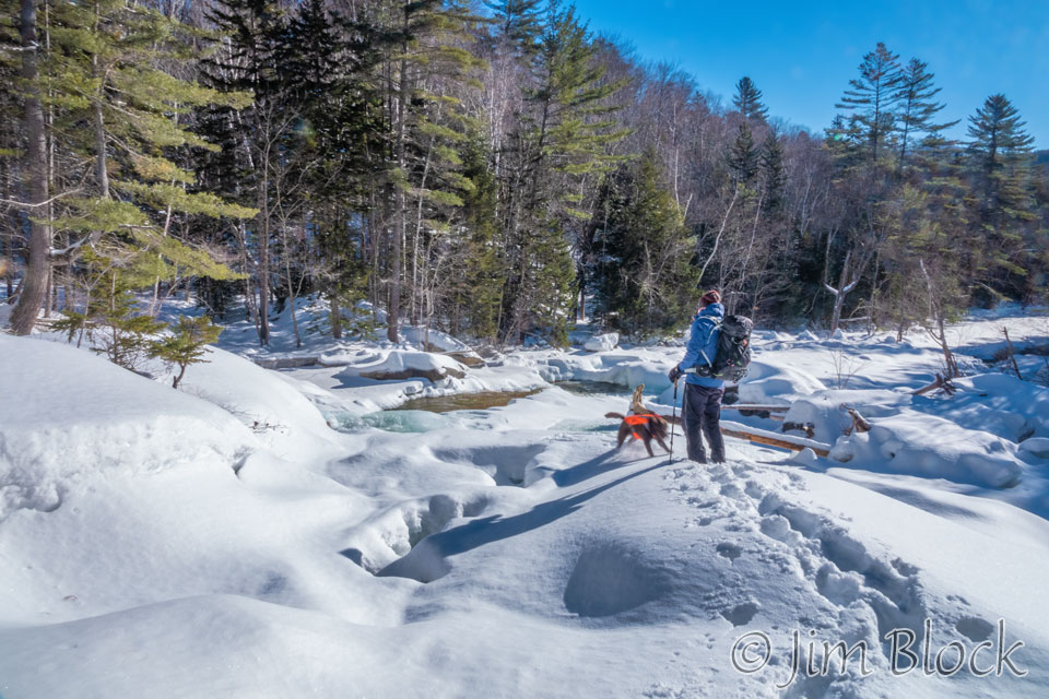
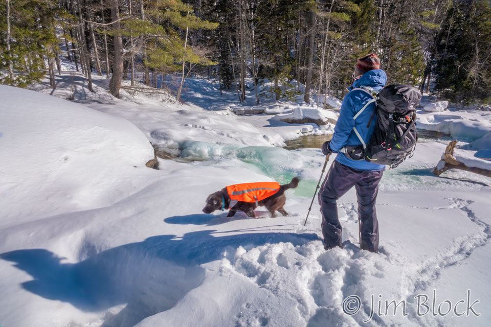
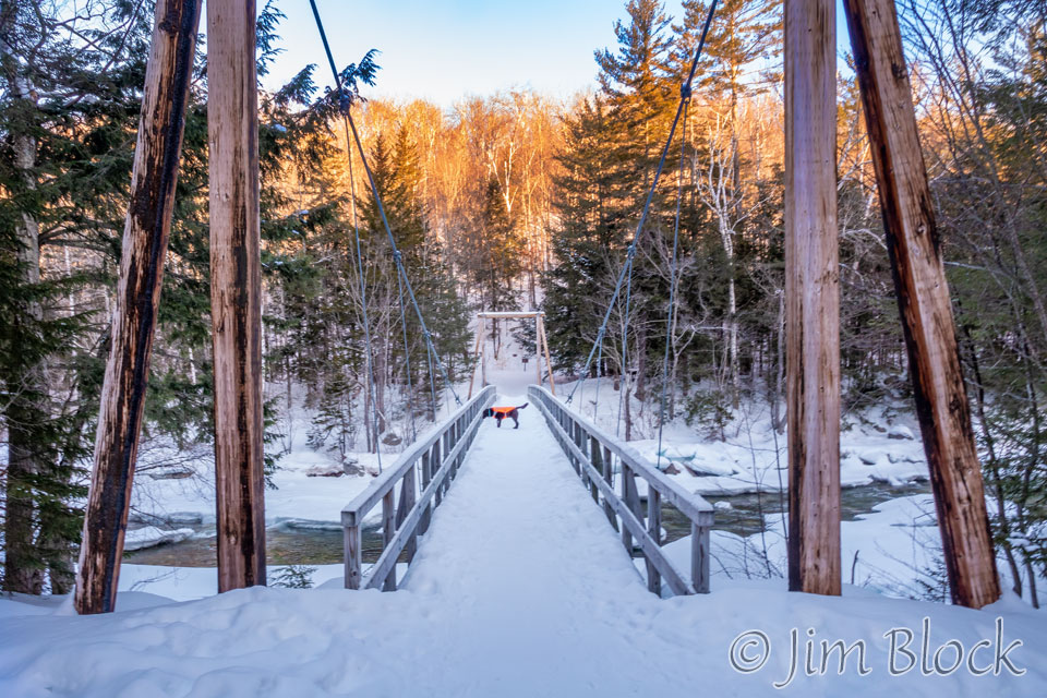
Caro was certainly eager to hit the trail.
We crossed the 160 ft long suspension bridge over the East Branch of the Pemigewasset River.
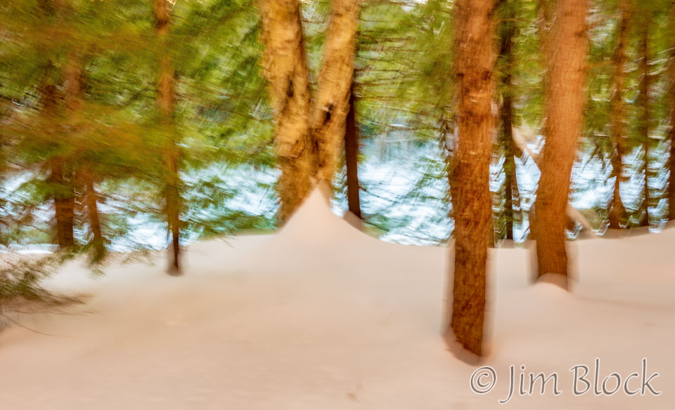
While crossing it wearing gloves, I accidentally changed a setting on my camera resulting in several shots at a too slow shutter speed before I discovered the error. But one came out almost “artistic” and dream-like.
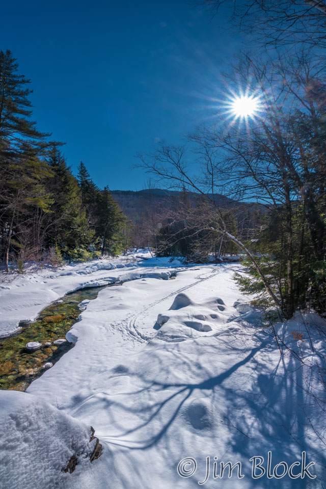
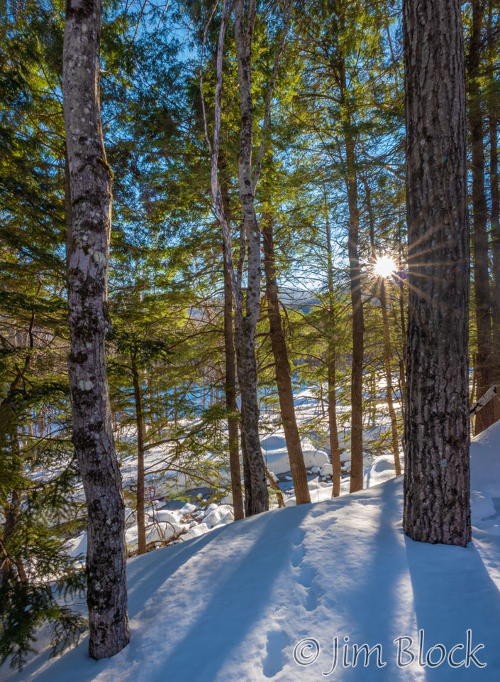
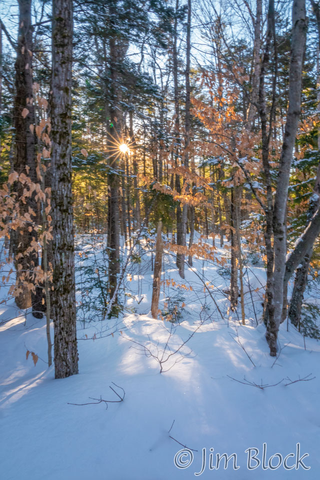
The trail mostly paralleled the river. The day was crystal clear, sunny, and a great temperature for hiking — 2 F at the start and 15 F a bit later — with no wind. The light was very contrasty. Under these conditions, I like to photograph aiming toward the sun.
We reached a spot where we got a view of West Bond and Bondcliff in the distance. The photo on the left below was taken with my iPhone so I could record the GPS location and later use PeakFinder, a great app, to ID the peaks.

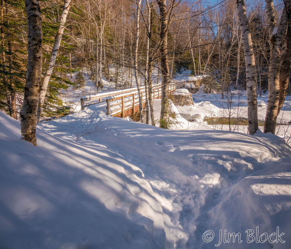
We reached a bridge over Franconia Brook which was build on the abutments of the second trestle 7 of the EB&L Railroad. At this spot the Franconia Falls Trail branched to the left.
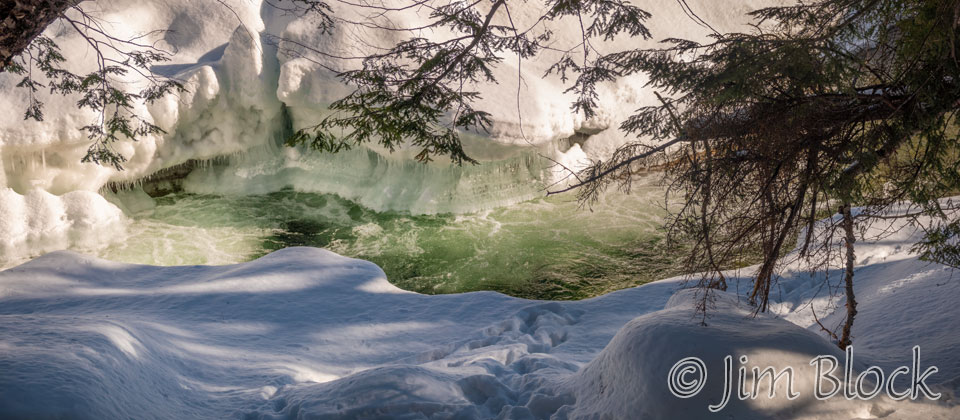
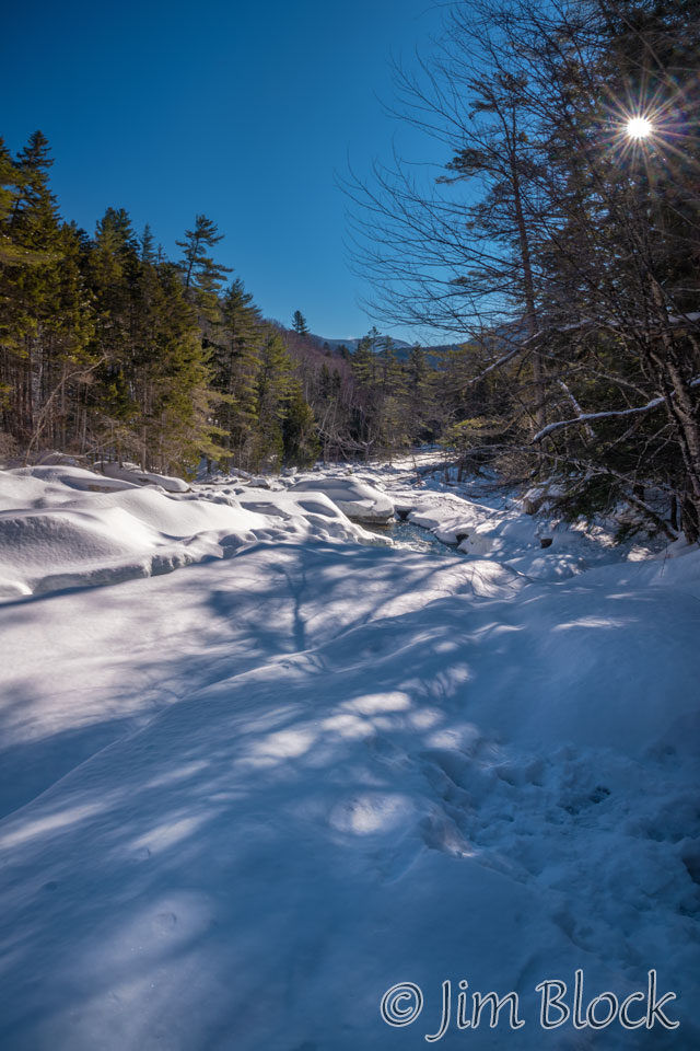
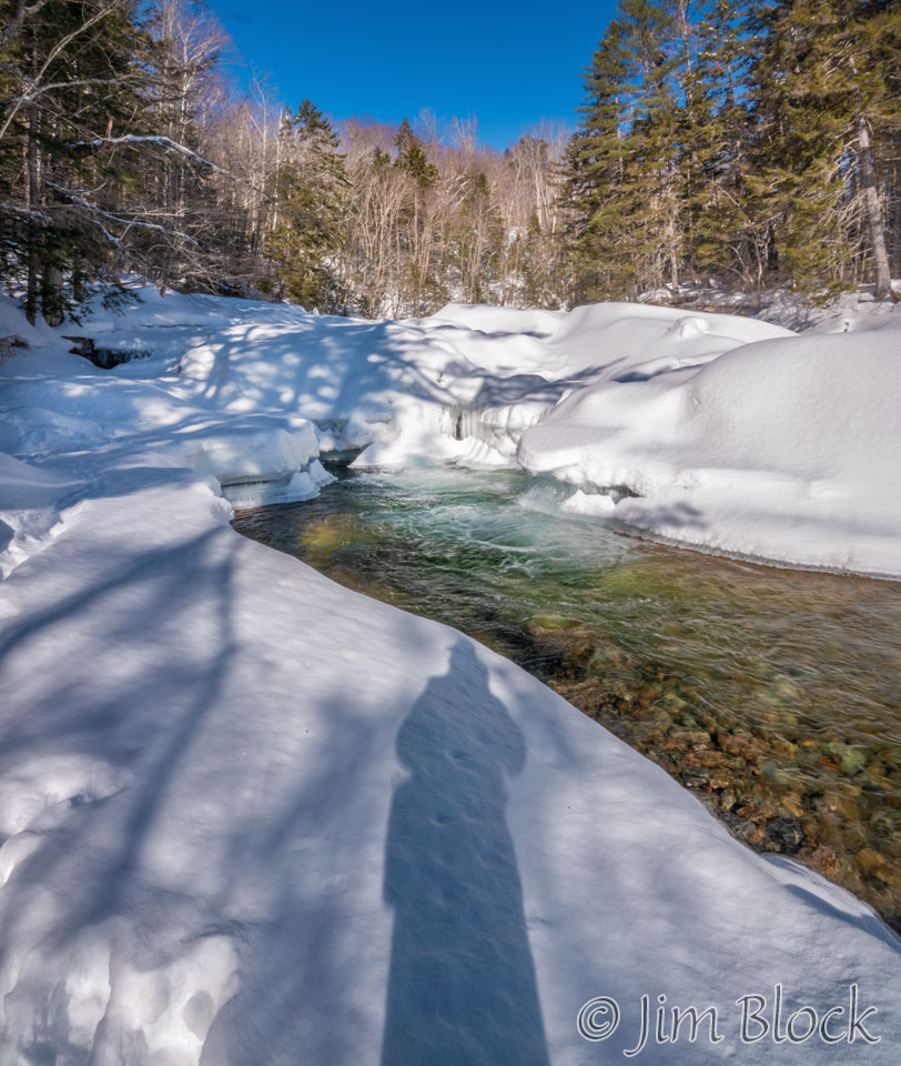
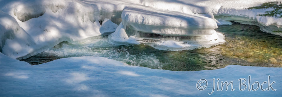
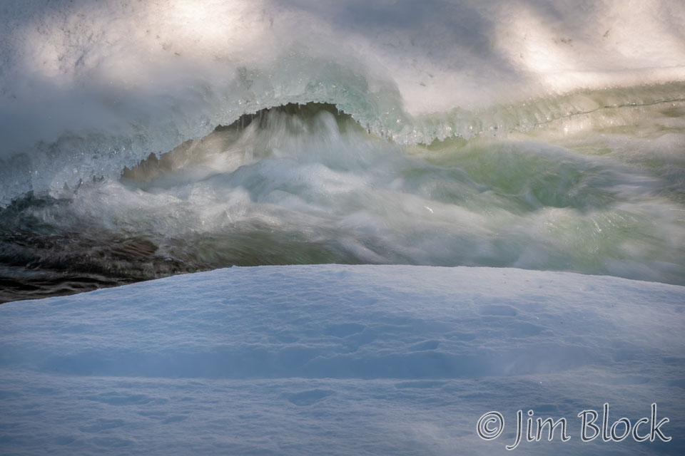
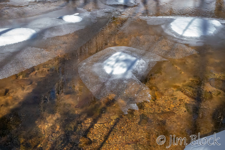
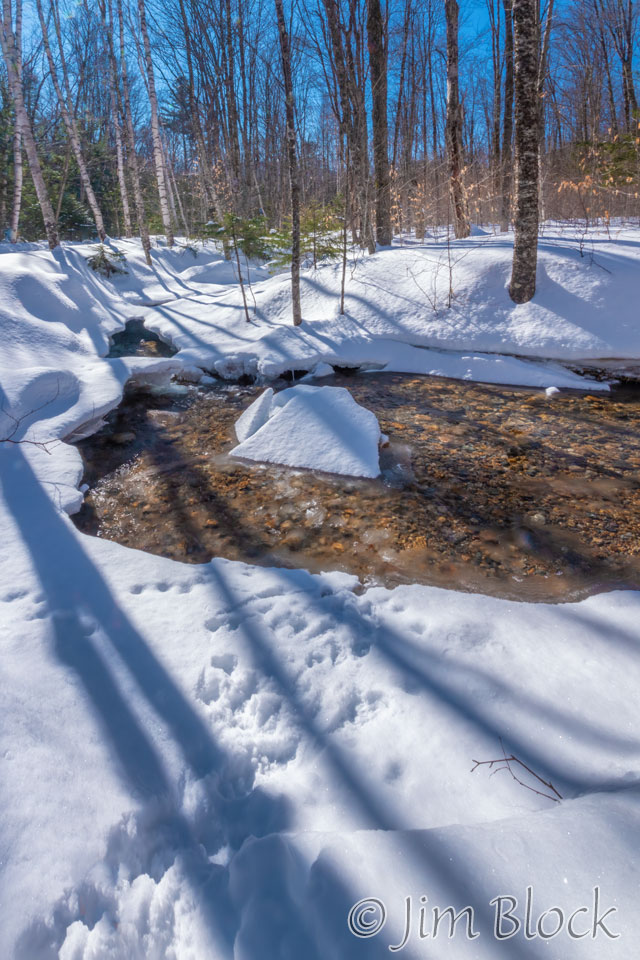
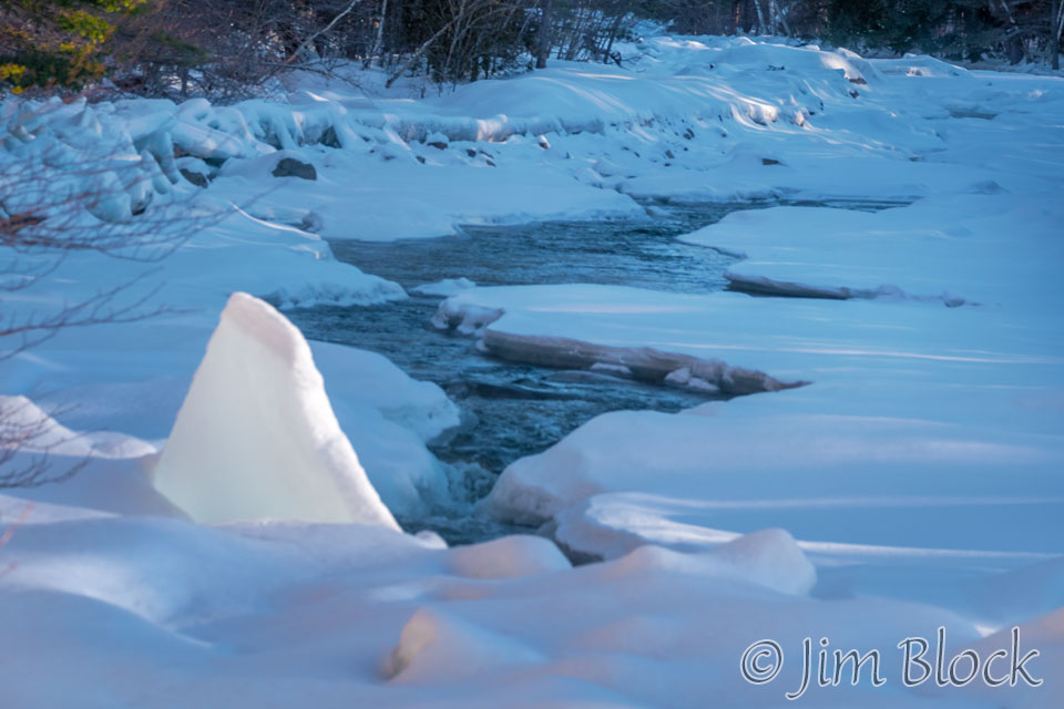
We hiked beyond the falls and got an “End of Trail” sign. It was hard to tell where the falls were with all the ice and snow. I believe they are somewhere in the photos in the slide show below.
This time when we reached the bridge, we crossed it heading north. Looking back upstream, we got a view of Mount Flume.
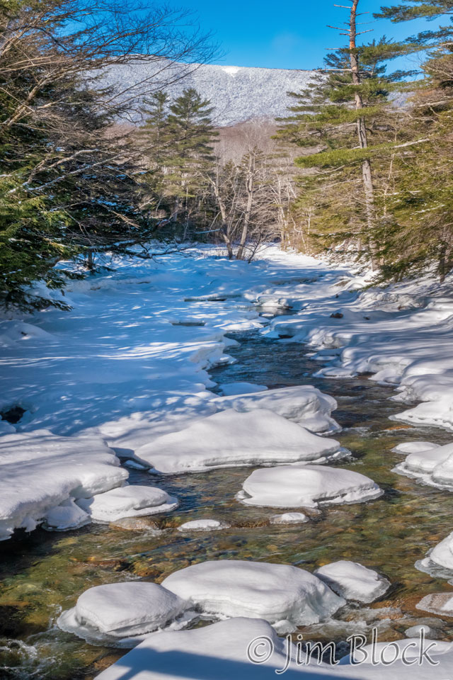
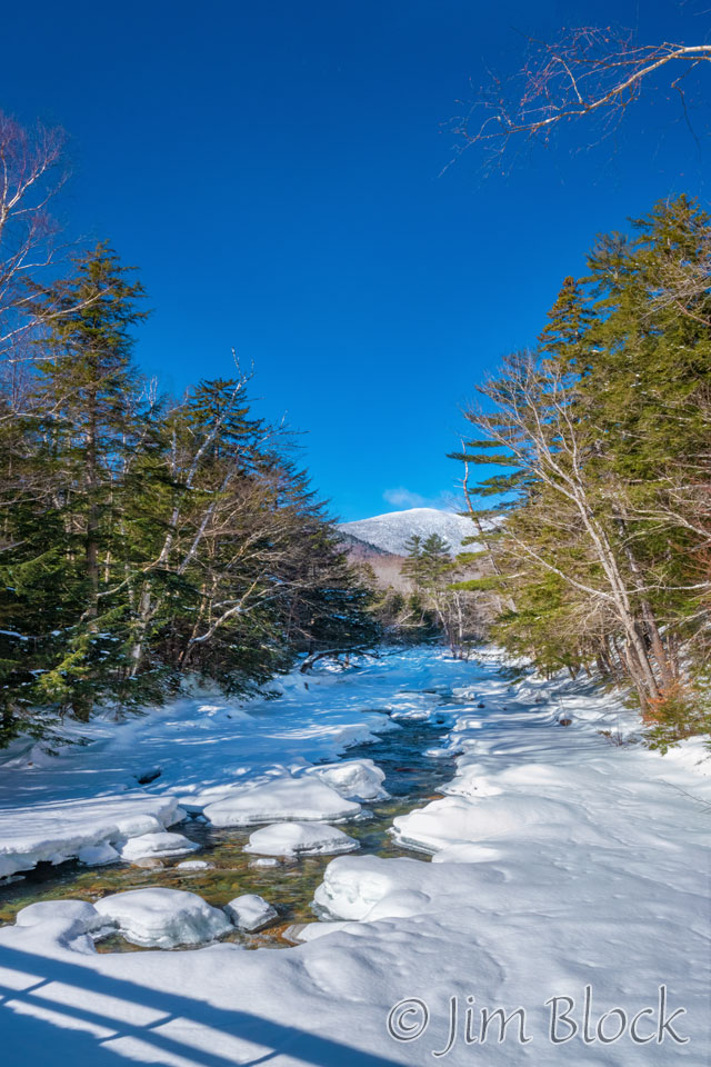
The Lincoln Woods Trail continues across the bridge into the vast Pemigewasset Wilderness. A trail to the left is the Franconia Brook Trail, and in about 2 miles the Bondcliff Trail is reached. From Bondcliff there is a vista across mountains and forests that shows no trace of human activity, like few other places in NH. This area was devastated by logging between 1880 and 1940. In 1984, Congress designated this as a Wilderness Area which has led to a substantial rebound in the forest ecosystem.
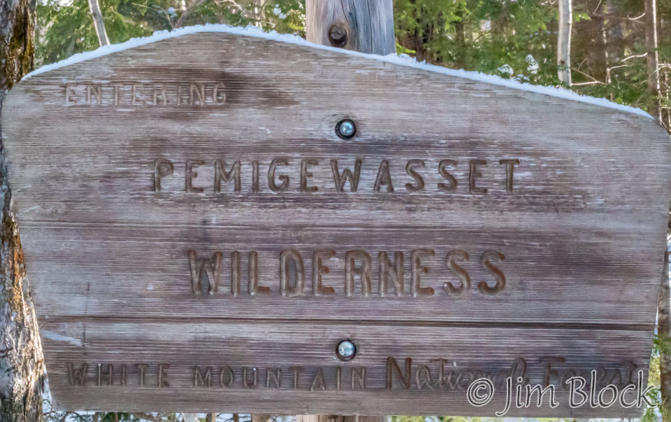
Heading back across the bridge and looking downstream, one gets this view.
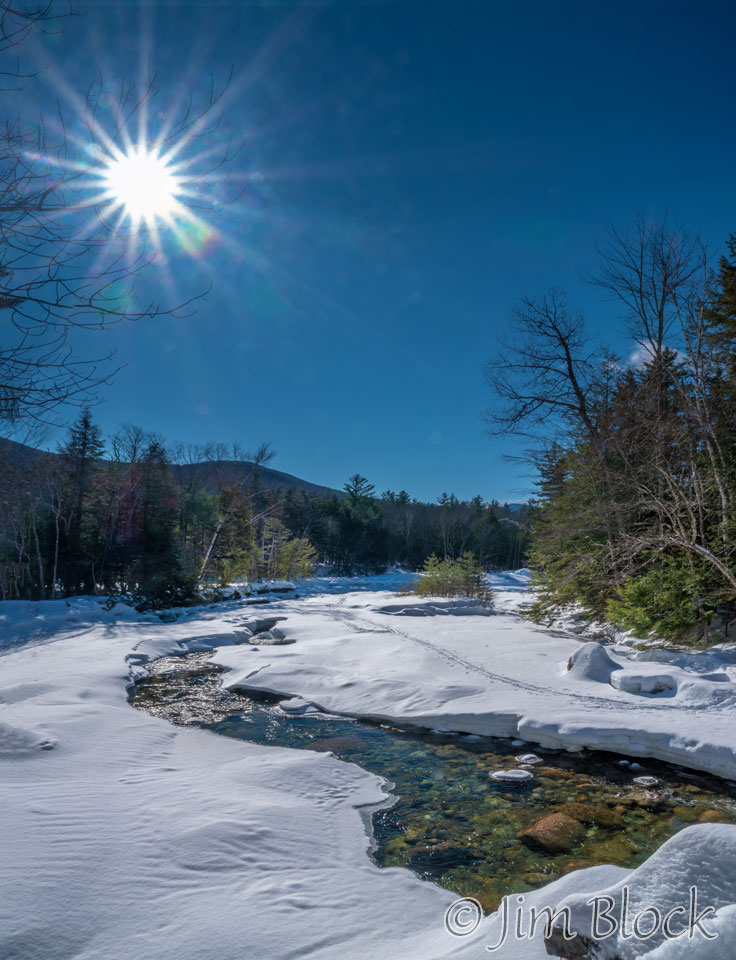
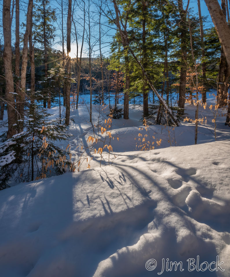
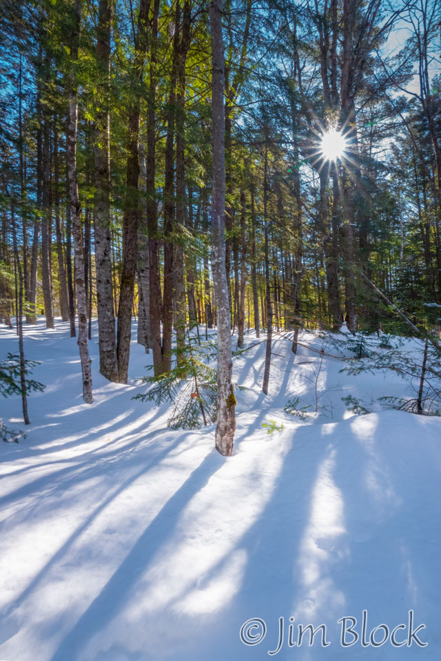
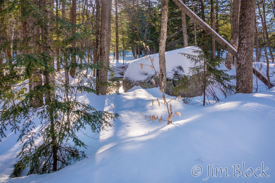
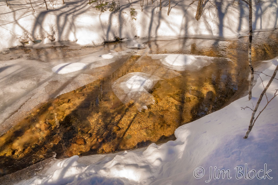
Along the way back, there was a nice quiet scene of light and shadow.
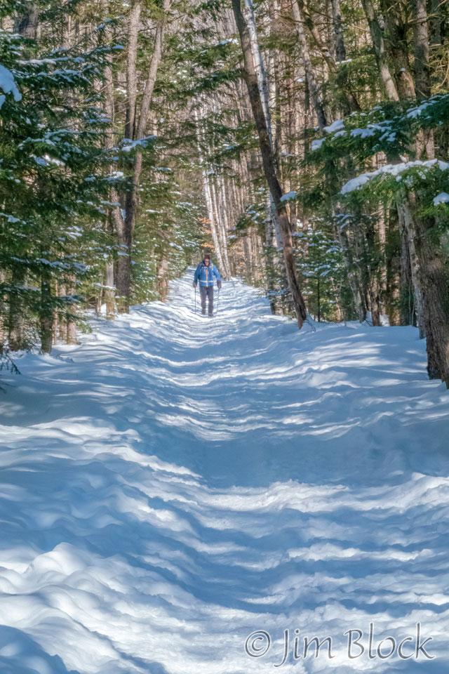
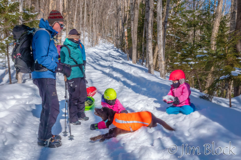
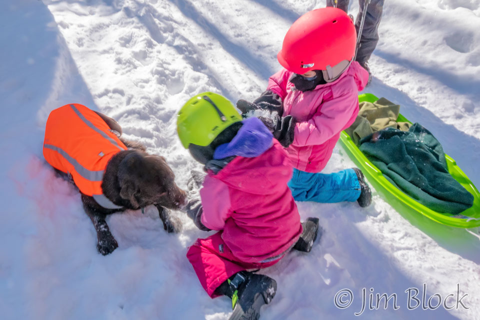
We only saw one person all the way to Franconia Falls and most of the way back. Then in the last few miles we saw dozens. We met a family with two young children who had a good time with Caro.
When we returned to the parking lot, it was anything but empty.
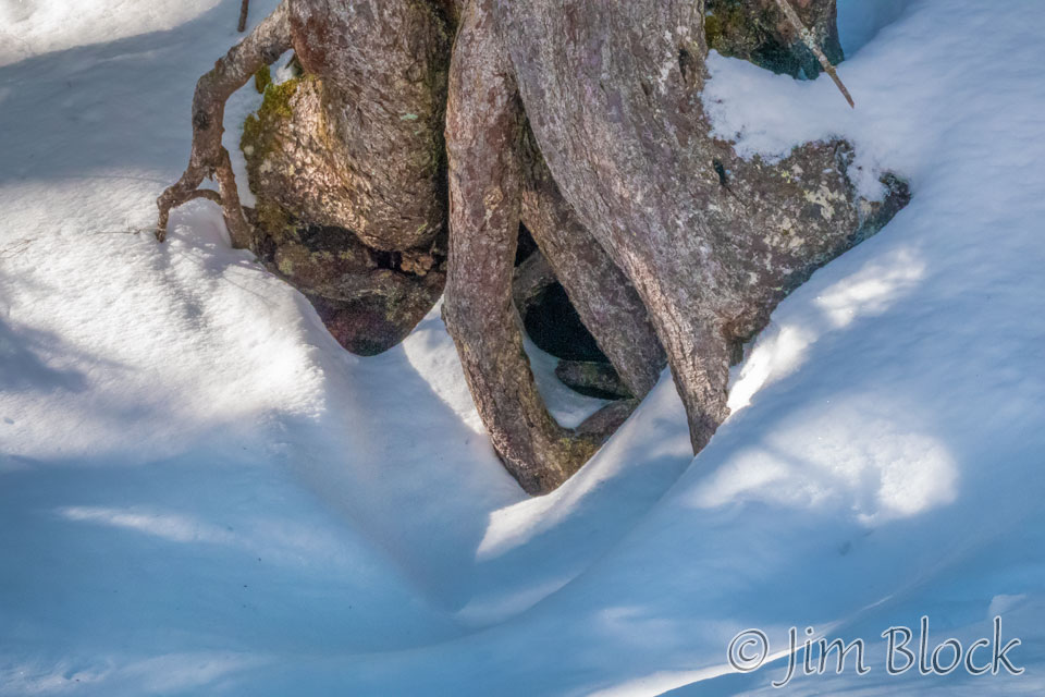
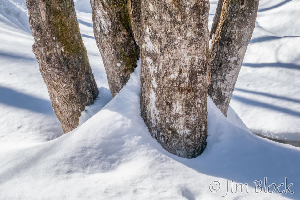
Here are some of the other photos I took during this beautiful winter hike.
This is a hike well suited for families. I imagine in the summer it can get crowded, so you might not get a real wilderness experience unless you head well into the Pemigewasset Wilderness.

