Manang

There are three pages of our visit to Manang along the Annapurna Circuit on this web site. Here is a link to the middle of the three, when we took a great acclimatization hike.
On this page I recall a few vivid memories I have from a wonderful two nights in Manang on my third trek in Nepal.
When I think back about the village of Manang, three things come to mind: my room in the Hotel Yeti, which was probably the best room of the whole trek, the wonderful hike we took to the Gangapurna Lake and Glacier, and wandering through the old part of Manang while others were at the clinic learning about altitude sickness.
The photo on the left shows one of our young porters. I’m sad that I did not record his name.
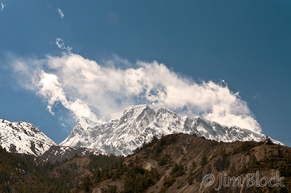
I do remember this was a rough day getting to Manang as two of our group were quite sick. We stopped in Humde for a 3-4 hour lunch while they slept. While there I took this photo of Annapurna III.
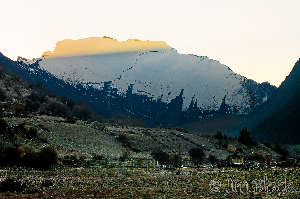
At 6:40 that morning from Pisang, I took a photo of the otherworldly “Gateway to Heaven”, formally the Paungda Danda. This western face rises dramatically 4,900 ft above the Marshyangdi River. The mountain’s smooth western face, also known as the Great Wall of Pisang, is composed of slate rock and formed as a result of an ancient lakebed being uplifted during the creation of the Himalayas. The Paungda Danda is locally referred to as Swarga Dwar. Swarga meaning Heaven, Dwar meaning Gates. So the local people believe that the spirits of the deceased must ascend the wall after leaving their bodies to reach the heavens.
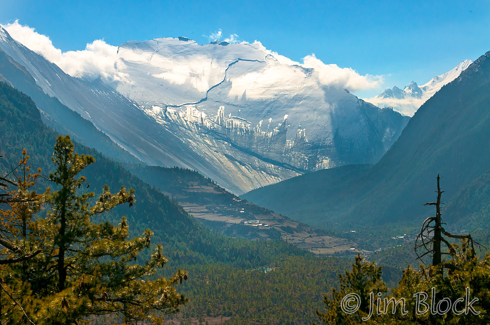
Three hours later I took another photo of the Gateway to Heaven.
Chhongba sent his son, Pisang, on ahead to secure rooms at a hotel in Manang. And what a place he chose. My room was on the top floor at the far southwestern end of the Hotel Yeti, overlooking the valley below and providing a wonderful view of the Annapurna Hilam — Annapurna II to the southeast, and Annapurna III and Gangapurna to the southwest.
I made the nine image panorama below from my bedroom at 4 pm the afternoon we arrived. You probably cannot read the labels in this reduce size copy, but Annapurna II (26,046 ft) is to the far left and just to the right is Annapurna IV. In the center is Annapurna III (24,786 ft) and to it’s right is Gangapurna (24,455 ft). In the distance to the right of the sun is Tilicho (23,405 ft). We hiked up to the right part of the ridge line you can see in the photo below Gangapurna. From there we had a great view of the Gangapurna Glacier.
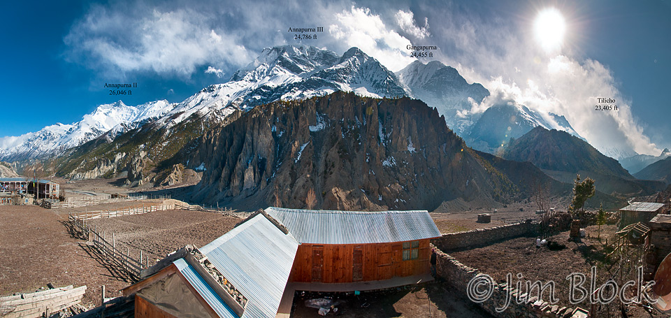
My room was beyond the right edge of the photo below.

Here is my bed with some very warm covers. The two pillows are mine. The large one holds a lightweight down jacket and the smaller one holds a down vest. There was another similar bed on the other side of the room that held my pack and duffle. The shower/toilet room was huge and had a sign, “Please do not wash clothes in the toilet.” There was a drying rack in the bedroom and lines outside for those who chose to ignore the sign and wash their clothes in the toilet room. During our “rest day”, some of the porters washed our clothes in buckets outdoors to earn a bit extra. Maila Rai did mine, as he also did in Khumjung on my second trek.

I took dawn photos from my room and the balcony a few steps outside my room both mornings. The photo below, taken the second morning, shows the view to Annapurna III on the left and Gangapurna on the right looking south by southwest. Although it might not look like it, the sun is behind me. During our “rest day”, we hiked up to the ridgeline you can see on the right half of the photo below.
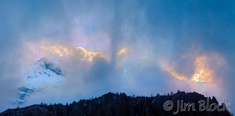
Later that second morning, when some of the early fog cleared a bit, I took this two-photo panorama of Annapurna III.
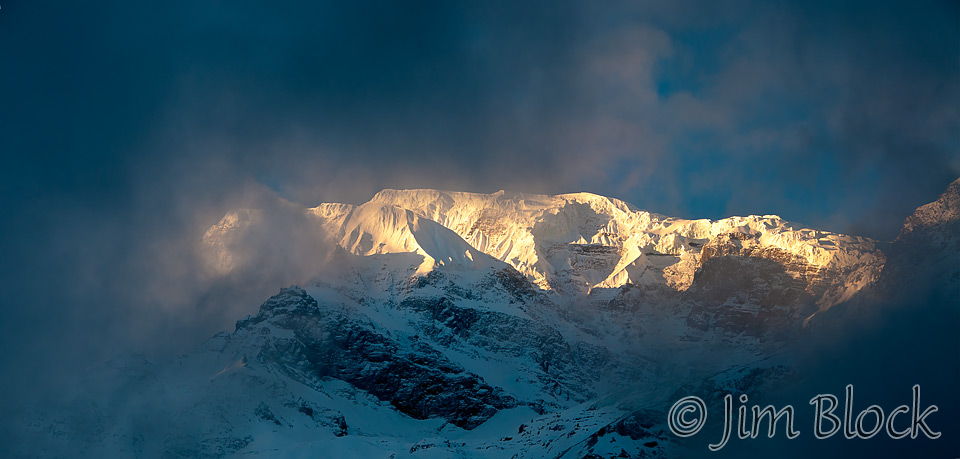
The first morning, I took this three-photo panorama of Gangapurna at sunrise.

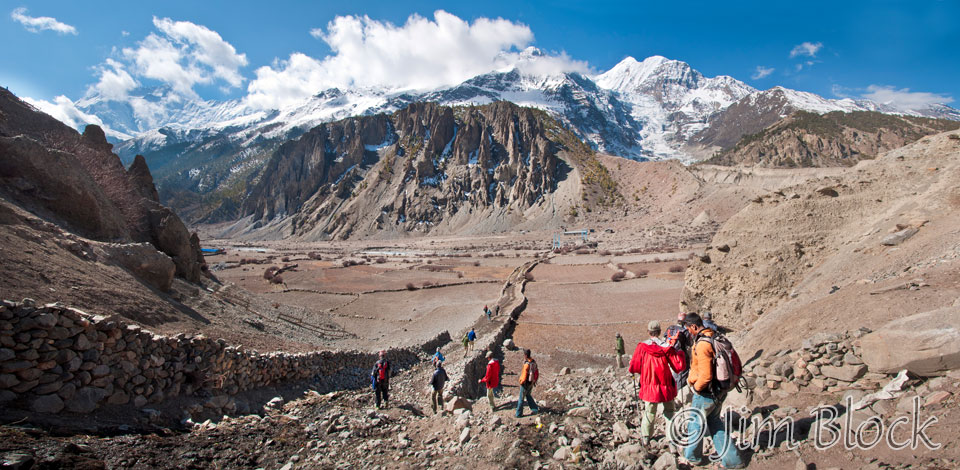
A bit after 9 AM on our “rest day” we took an acclimation hike. In this six-image panorama below, you can see us heading down from the village. Annapurna II and Annapurna IV are at the far left above the two dark rock towers. Annapurna III is near the center and the ridge line we hiked is below it and slightly to the left. Gangapurna is to the right and it’s glacier can be seen below it. Below the glacier to the right of the gravelly area is Gangapurna Lake, which is not in view in this photo.
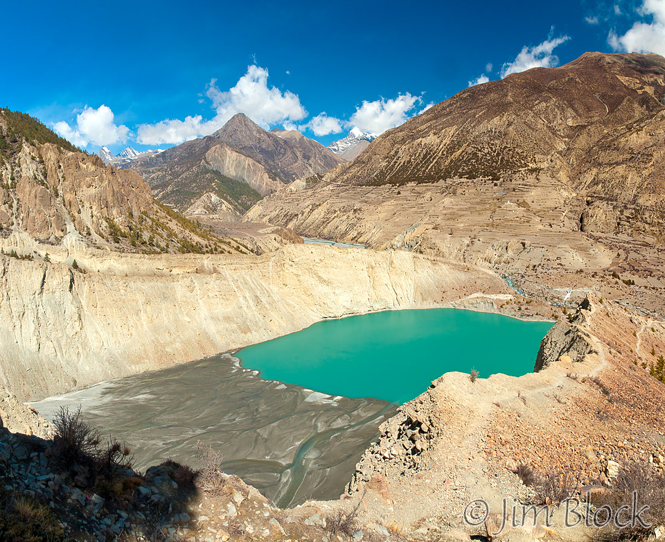
In the photo below, we have hiked across the valley and up the gravel area for a view down at Gangapurna Lake.
Hiking up farther, we got a nice view of the lake with Tilicho in the distance. The next day we would hike the valley to the right of Tilicho.
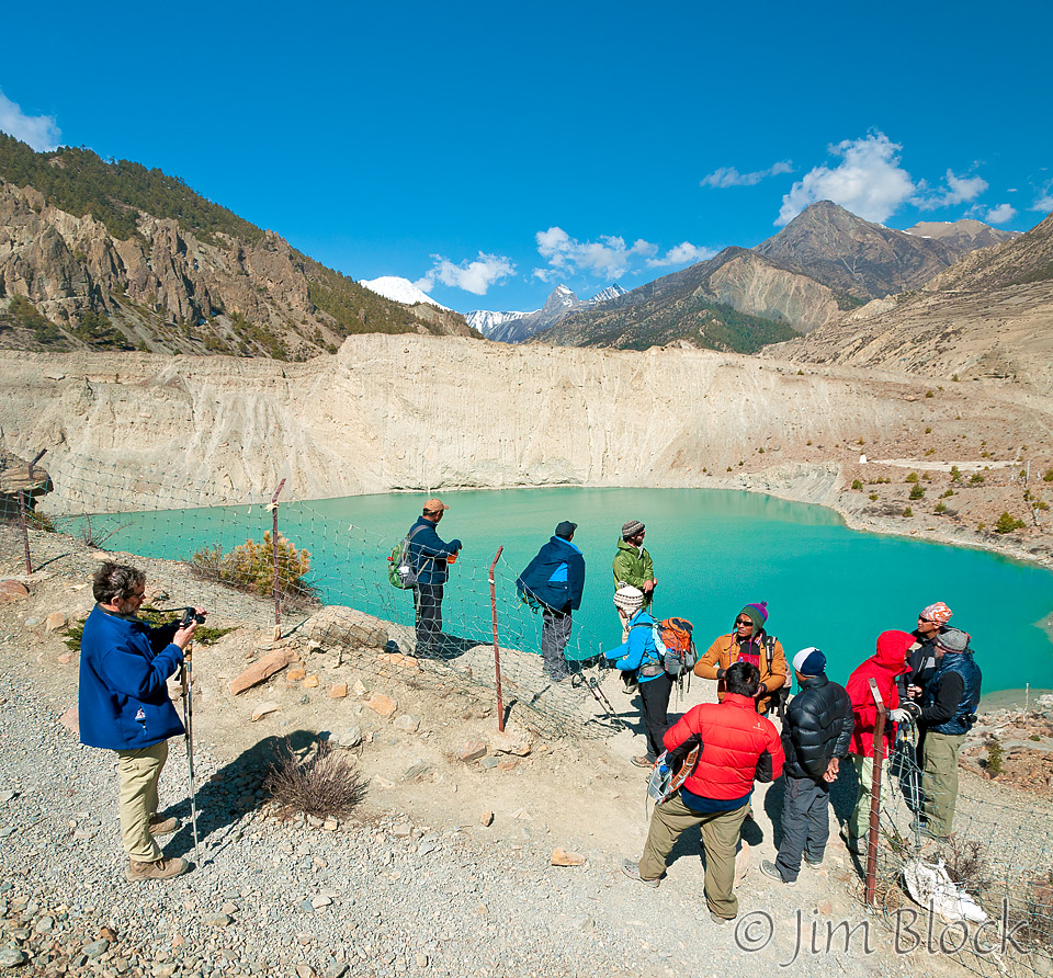
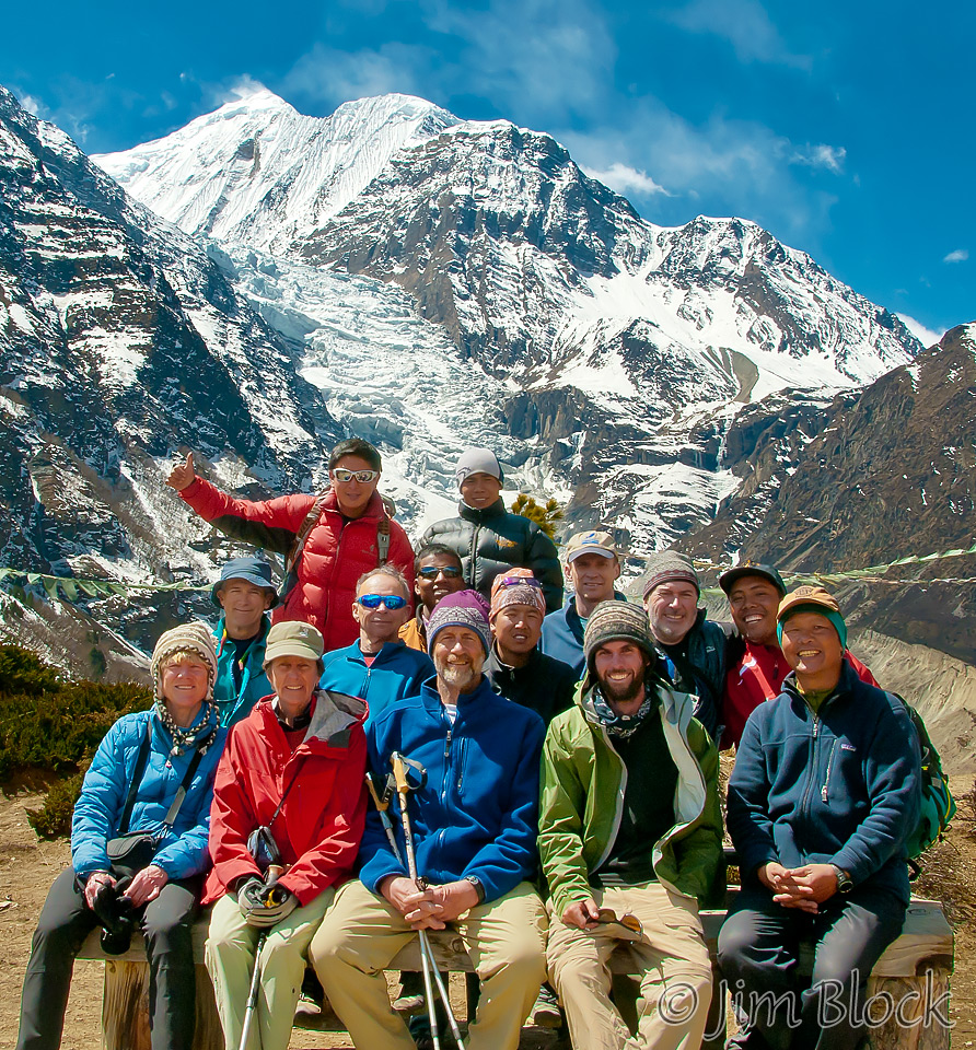
Up on the ridge line, we posed for a group photo a bit in front of Gangapurna and its glacier. I am in the second row with the blue shades and no hat. Chhongba is to the far right.
The next day as we were heading out of town we had a great view of where we had hiked the day before. You can see Gangapurna Lake in the lower center. To its left is the gravel slope we stood on to view it. Above that and out of sight to the upper left is the ridgeline we hiked where we got a great view of the glacier. At the top right is Gangapurna. Gangapurna Glacier is coming down below it.

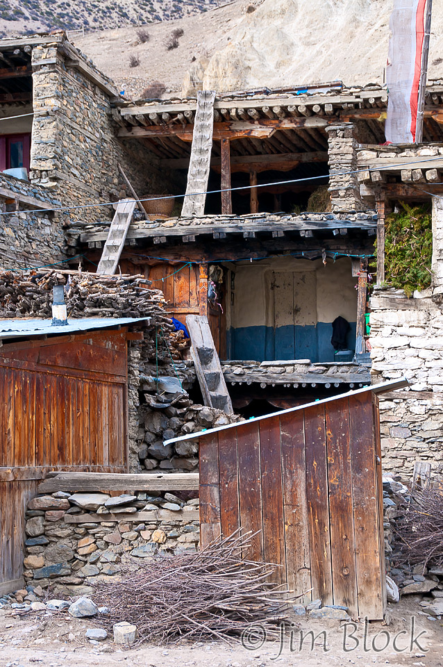
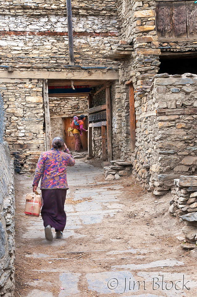
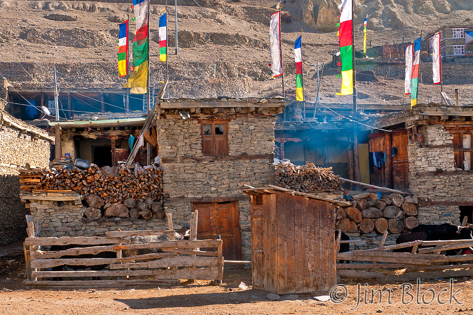
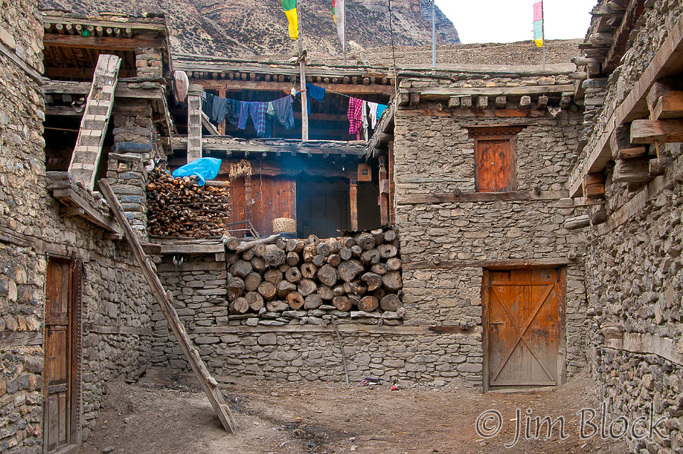
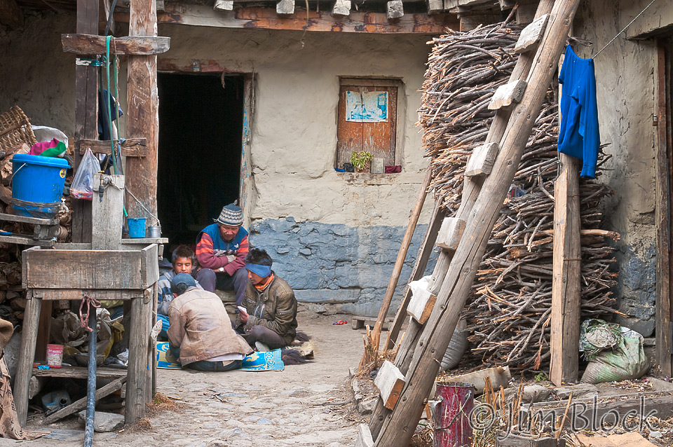
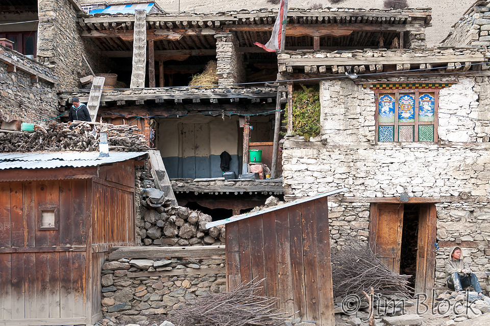
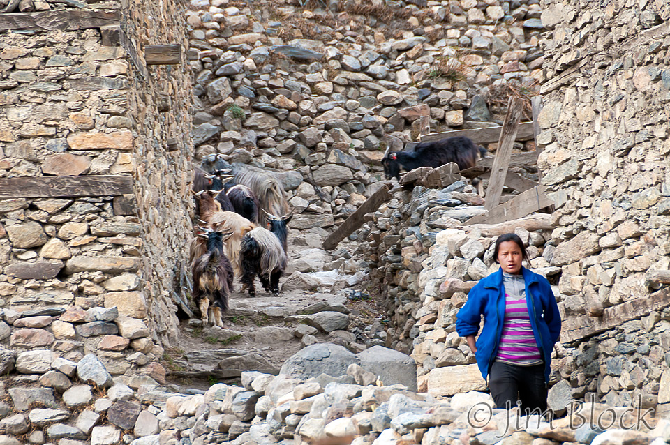
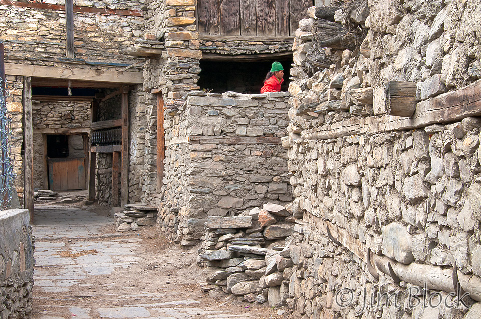
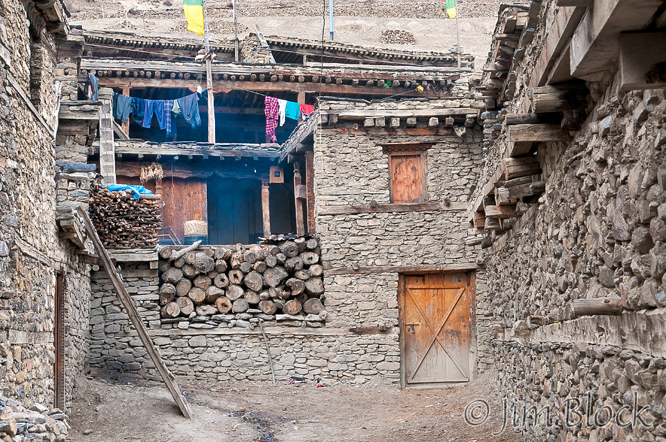
Mid-afternoon I wandered around the very interesting old section of Manang. I love the ladders made out of logs. Here is a nine-image photo that show of parts of the old town.
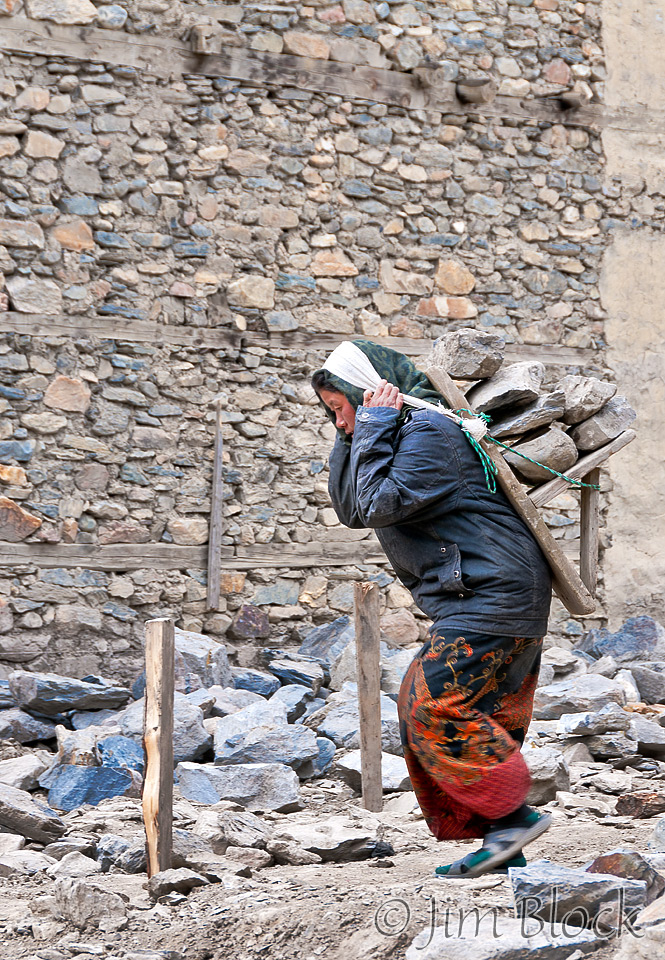
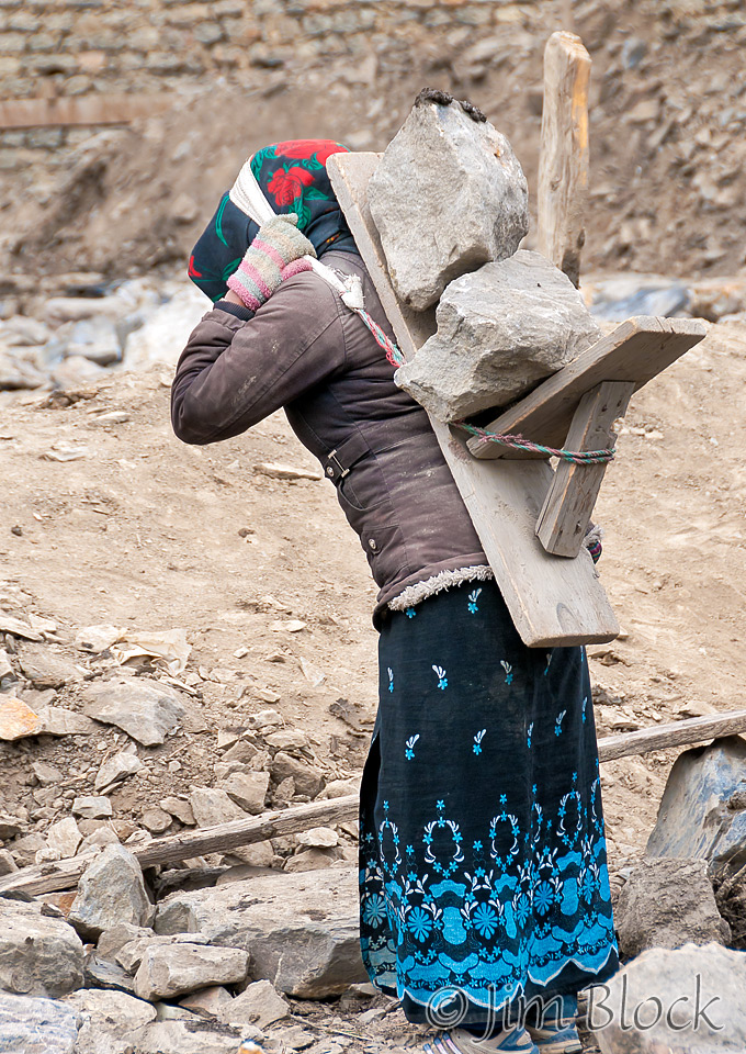
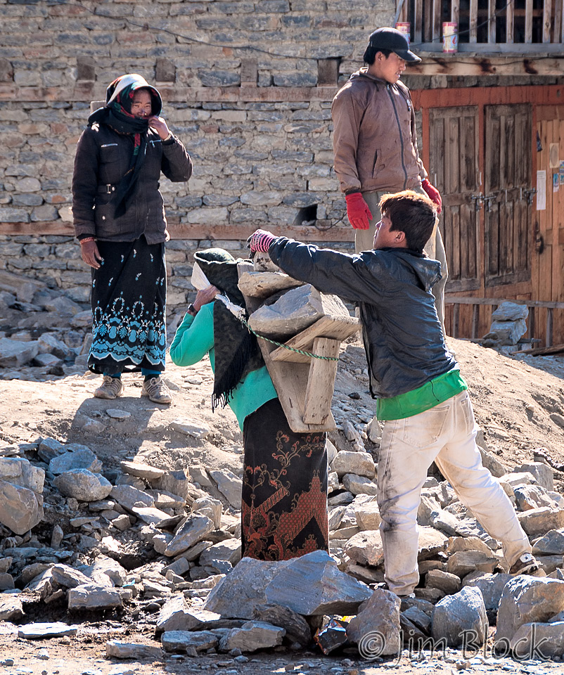
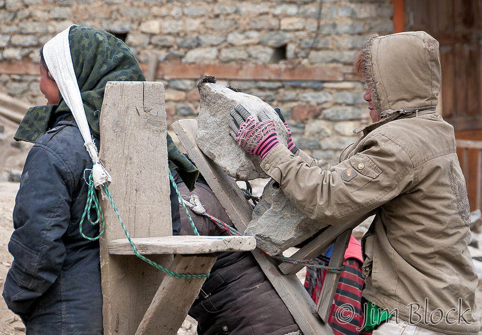
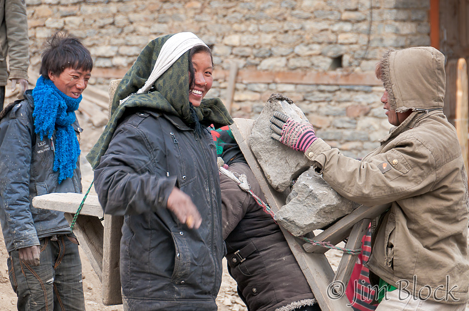
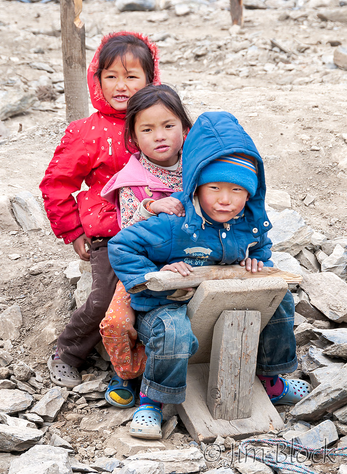
In the old city there were women carrying heavy rocks on their backs. The men would load them and the women would haul them. The kids would play on the unused backboards. Here are six photos.

