After spending two days in the beautiful Phobjikha Valley and attending the Black-necked Crane Festival, we spent an afternoon and early morning in Punakha. But first we had to get there.
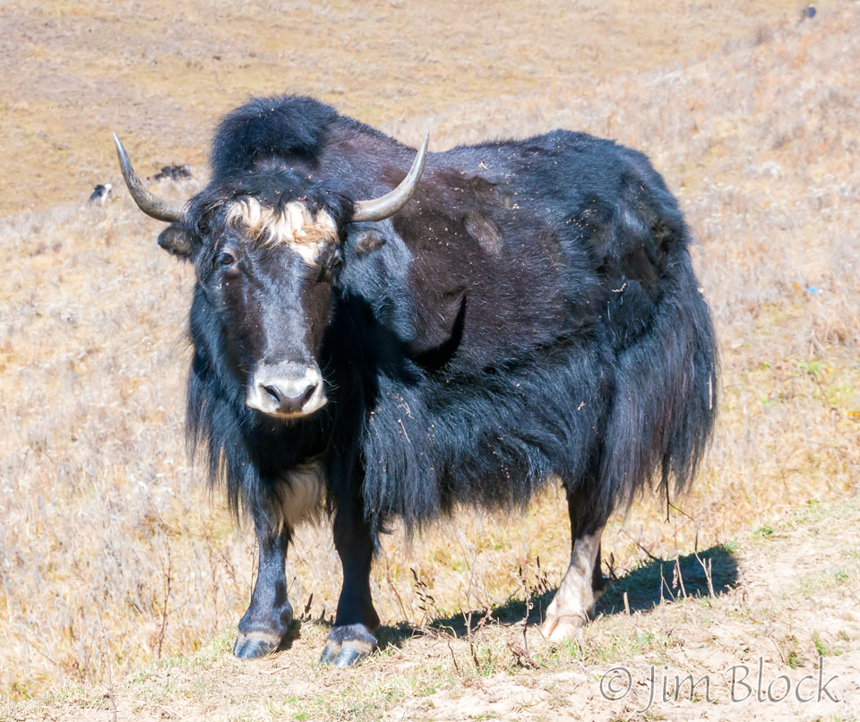
Heading uphill out of the Phobjikha Valley we came upon some yaks grazing.
We stopped briefly at the Lawa La (pass).
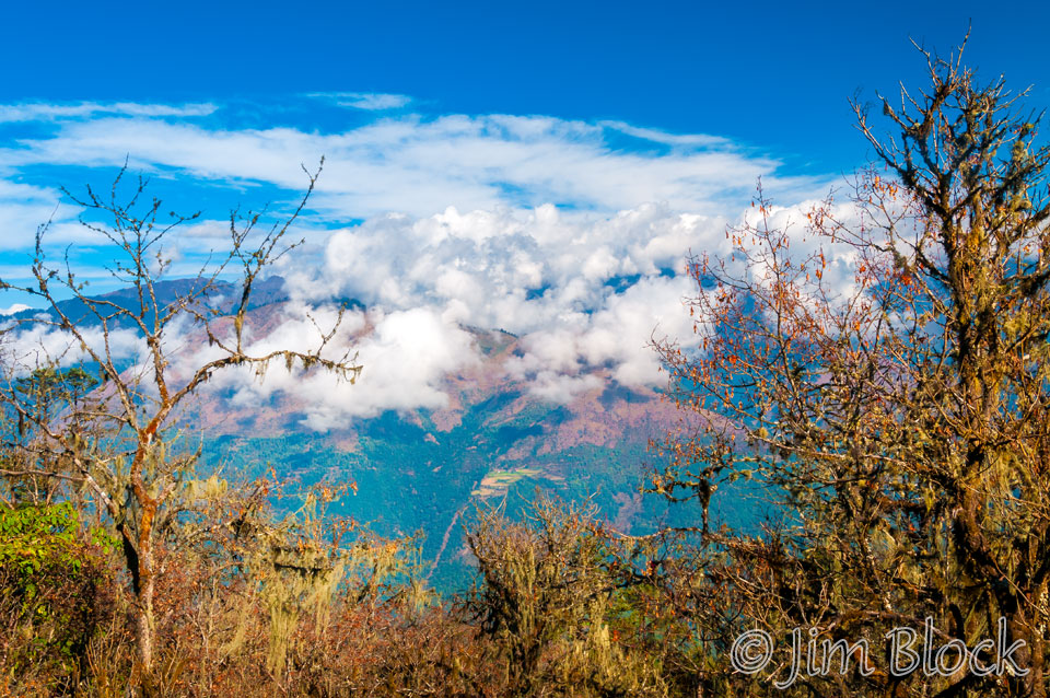
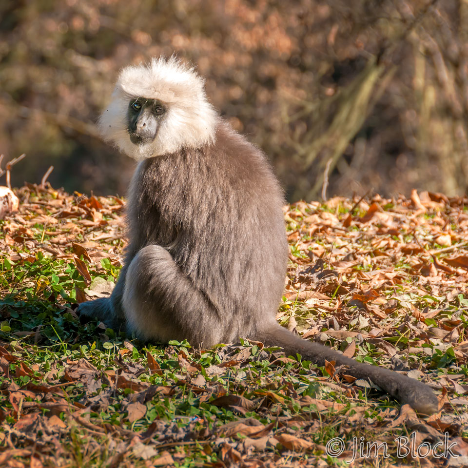
Shortly after the pass we came across a group of Gray Langur monkeys.
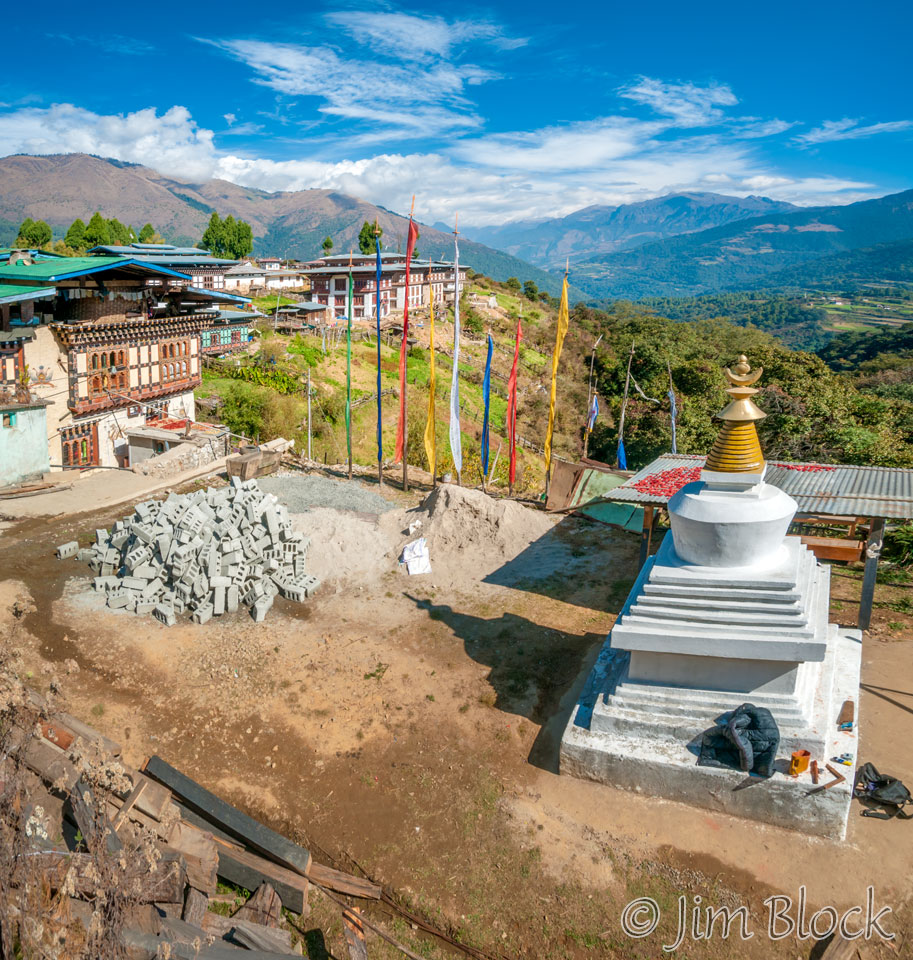
We stopped for a half hour in Nobding village. We saw peppers drying, construction, and phallic symbols — we were approaching the Divine Madman area.
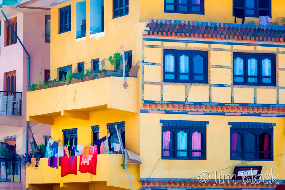
We reached Punakha around noon. I made this painting-like image of apartments and wash.
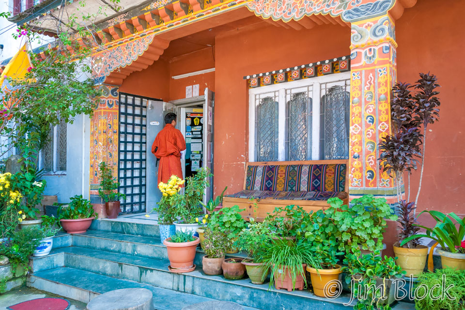
We checked into our hotel, the Zangto Pelri. It had excellent food and a marginal internet (which seemed common).
Punakha sits in a beautiful, fertile valley. At 4,100 ft, it was probably the lowest place in Bhutan we visited. It was mild (short-sleeve shirts for us) and a bit hazy and humid when we were there mid-November.
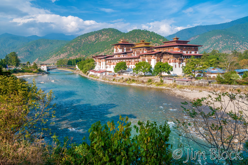
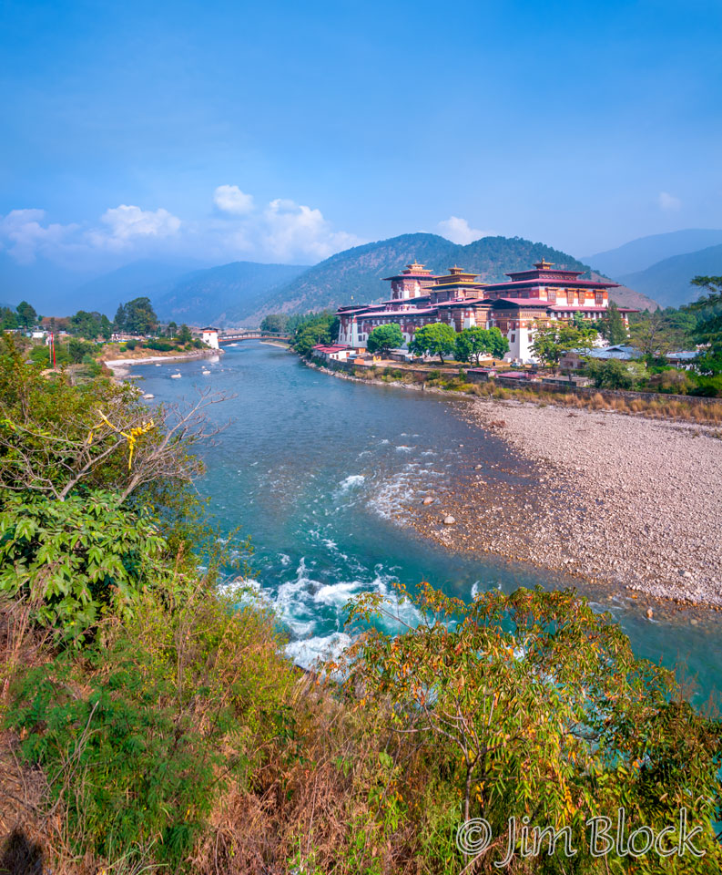
After lunch we drove north to the beautiful Punakha Dzong located at the confluence of the Mo Chhu (Mother River, shown below) and the Pho Chhu (Father River).
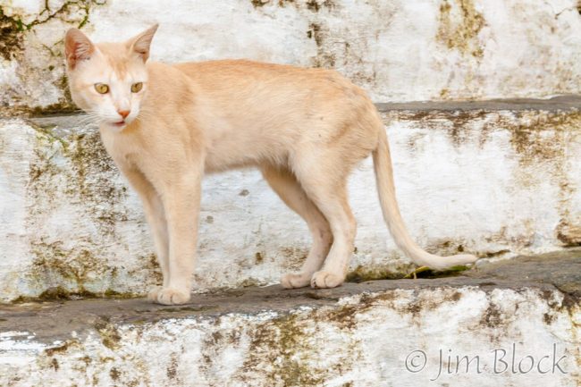
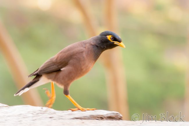
Crossing the bridge to the dzong I got a photo of a Common Myna. A cat guarded the entrance steps.
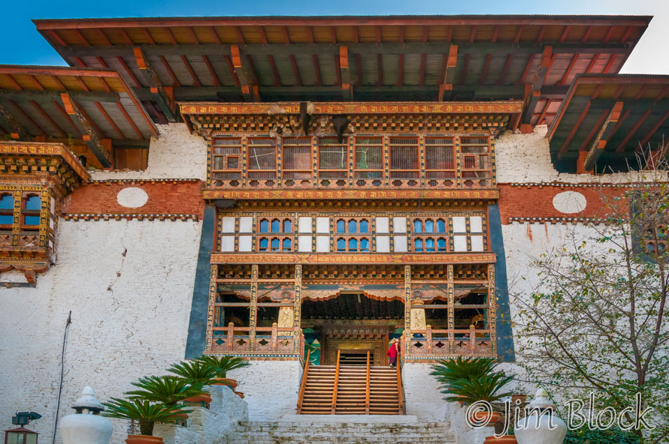
The entrance was a very typical design. Look up near the top of this photo and see if you can find the bee hives.
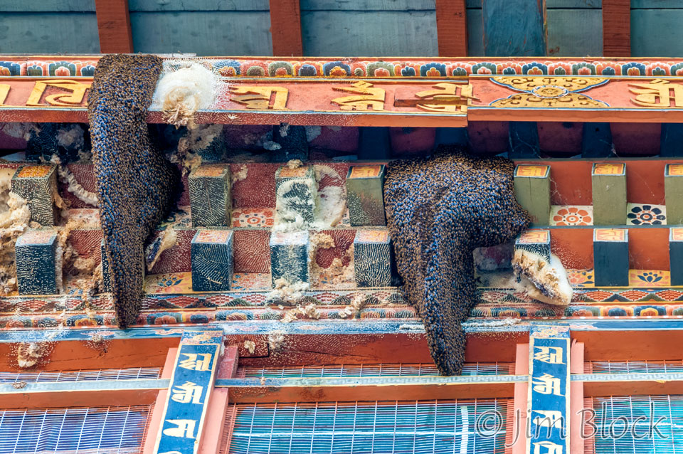
Here is a closer view of the impressive bee hives.
Here is a slide show of photos from the Punakha Dzong.
Later that afternoon we drove to nearby Sopsokha and hiked through extensive rice fields to Pana village and on to Chimi Lhakhang built in 1499 to honor the Divine Madman, Lama Drukpa Kunley. His style of preaching attempted to provoke people to discard their preconceptions. His outrageous, often obscene, actions and sexual antics were legendary. There are many phalluses on the houses and hanging from rooftops in this area in his honor.
Here is a slide show of our hike to Chimi Lhakhang.
Lakey told us the temple is known as the “no dog monastery” since the Divine Madman killed a demon dog that is supposedly buried under the black stupa shown below left. How they know these things that happened over 500 years ago is beyond me. On the right below is a beautiful tree in the courtyard of the monastery.
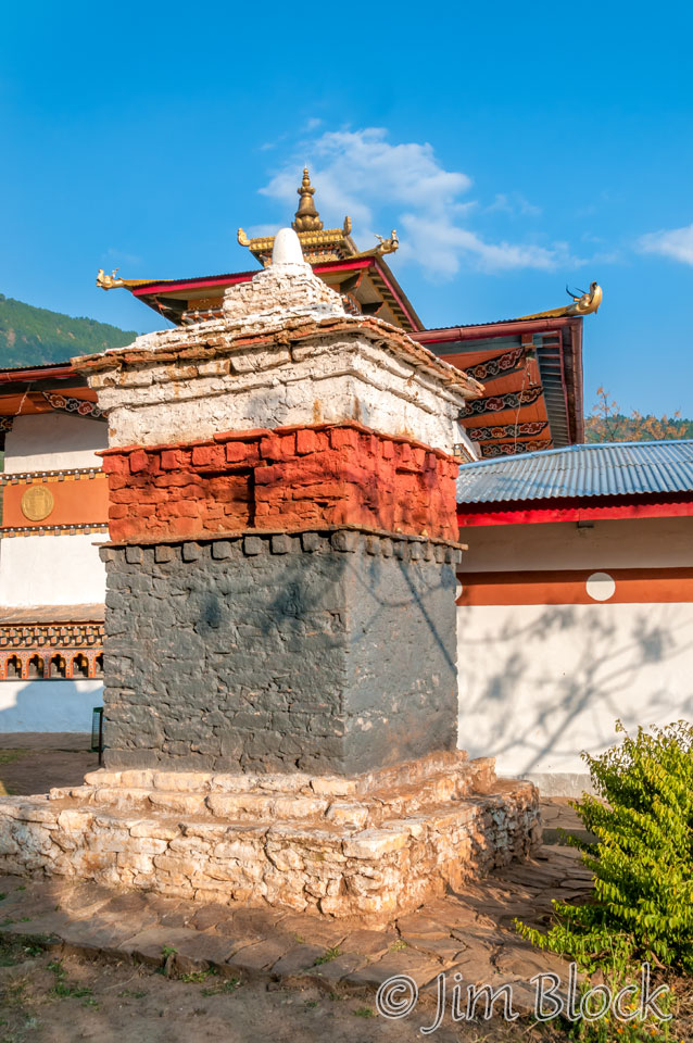
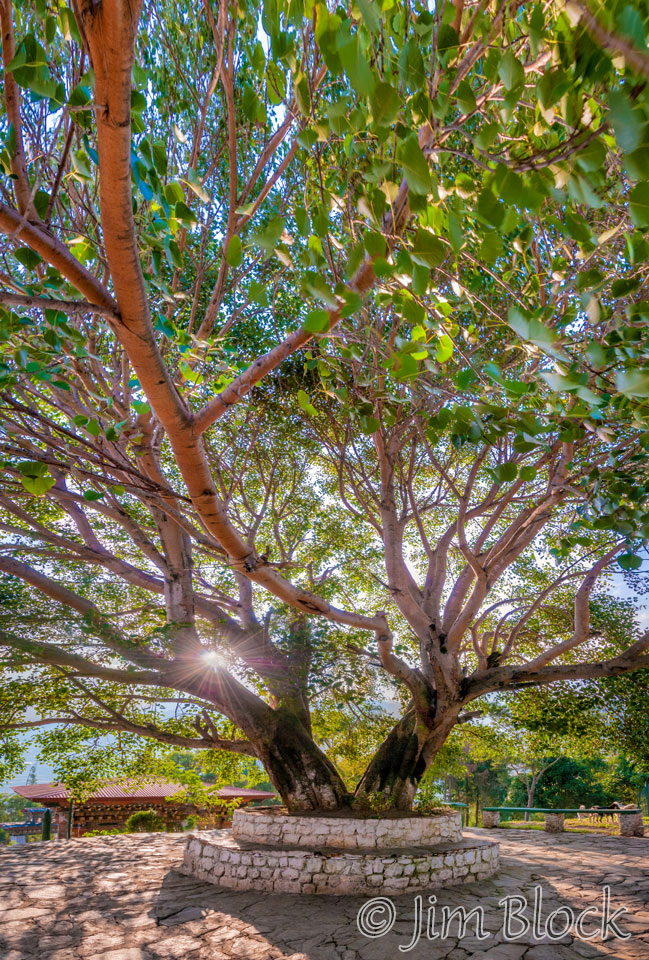
Here are a few photos from the temple. Interestingly the first shows a dog at the “no dog monastery” black stupa.
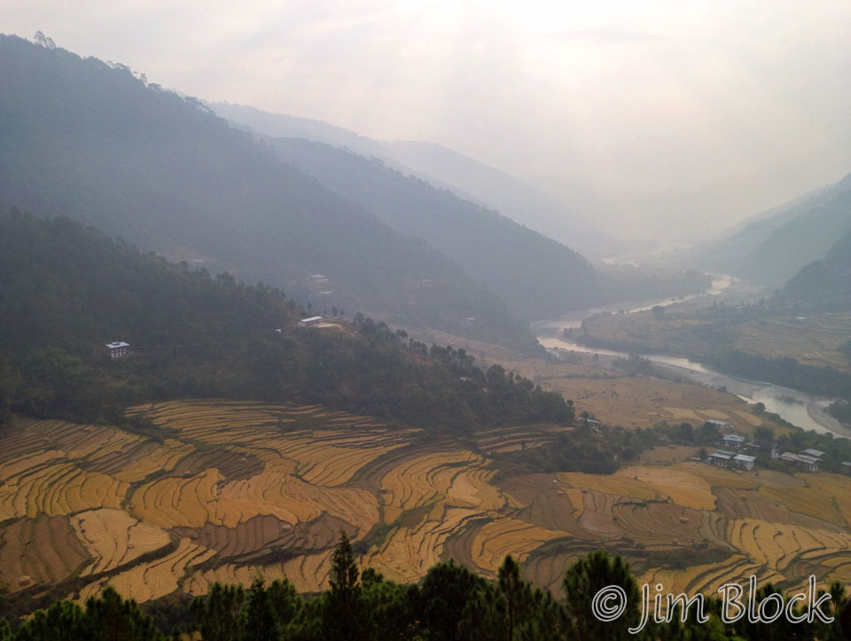
We took a slightly different path back looping left through some beautiful rice fields. Along the way we met school children heading down to Pana. In the photo below you can see rice fields, the village of Pana, and the monastery on the hill beyond.
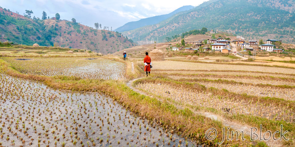
Here is a closer view of Pana and Chimi Lhakhang.
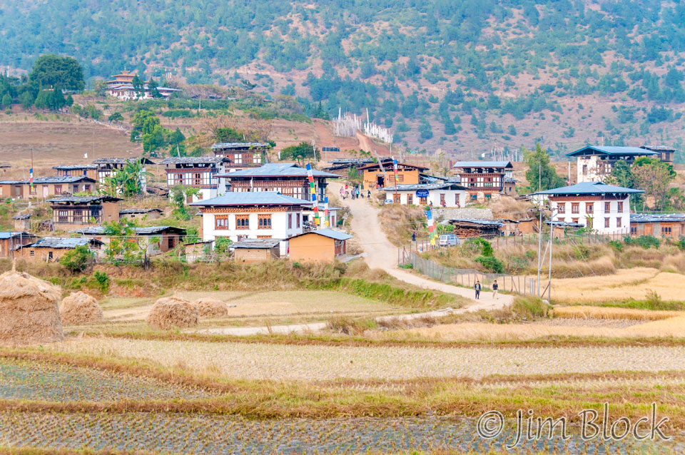
Here are some of the photos I took as we hiked back to Sopsokha.
Below is a 9-shot panorama looking back toward Pana and the area below the temple. You can explore this image in detail. You can double click once or twice or three times to zoom way in and use the left mouse to pan around. You can also use the + and – keys to zoom and the arrow keys to scroll. Please wait for the resolution to download.
That evening we had a delicious dinner of fish (!), beef, and chili & cheese. We reviewed Stephen’s photos on his iPad and Lakey’s on his camera monitor.
The next morning we were served an excellent private early breakfast at 6 am, a full hour before the hotel restaurant officially opened. We needed to get an early start for our hike to Khamsum Yuelley Namgyal Chorten (that’s a mouthful) and our trip to Thimphu timed to enter the road under construction during the one hour it was open for travel.
We drove past the Punakha Dzong and parked near a foot bridge over the Mo Chhu. It was just before 7 am and the sun was rising through the haze.
Before we crossed the bridge and hiked through beautiful and extensive rice fields, a man with a donkey crossed.
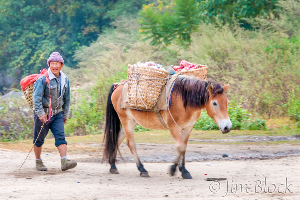
The photos below were taken during the first half of our hike to the temple.
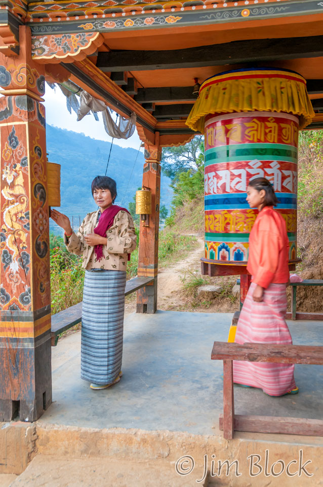
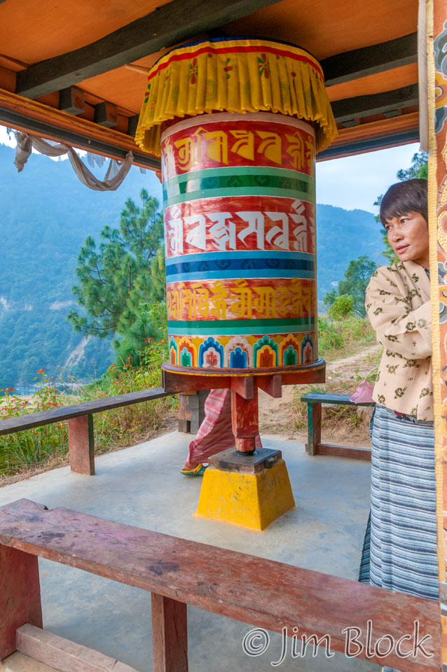
Around the half way point there was a “rest stop” with prayer wheels. Perhaps they were so one could pray to make it all the way up. This day was HOT — in mid-November. I wonder how it is in the summer. In less than a week I would wake up with a frozen water bottle.
At the prayer wheels we met some women and a boy who were hiking to the temple to pray.
This 8-shot panorama shows the fields at Yambesa Punakha and the valley looking back toward Punakha. You can explore this image in detail. You can double click once or twice or three times to zoom way in and use the left mouse to pan around. You can also use the + and – keys to zoom and the arrow keys to scroll. Please wait for the resolution to download.
I was enchanted by the patterns in the rice fields below me. I couldn’t seem to stop photographing them.
I brought several Hanover Coop grocery store plastic bags with me on the trip. These heavy duty bags come in handy as a rain hood for cameras and for many other emergency uses. I gave one to Lakey this morning so he could continue his unrelenting campaign to free Bhutan of litter. He easily filled the large bag on our trip up to the temple. Here he is walking with two women and a young boy who visit the temple to pray very often.
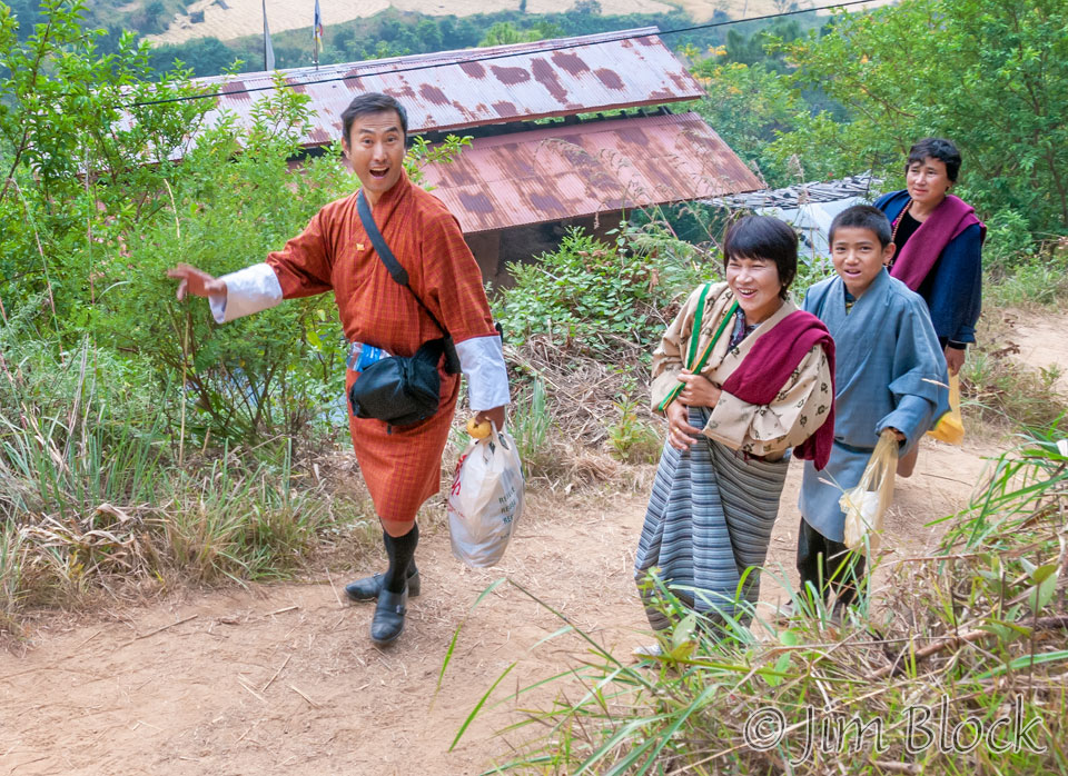
Here are a few of the folks who were also hiking to the temple and a few other photos on the second half of our trip up.
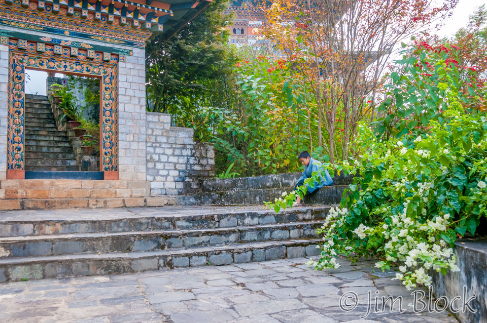
We finally reached the entrance area just below the temple courtyard.
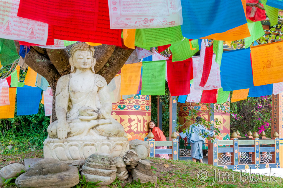
The courtyard had many prayer flags.
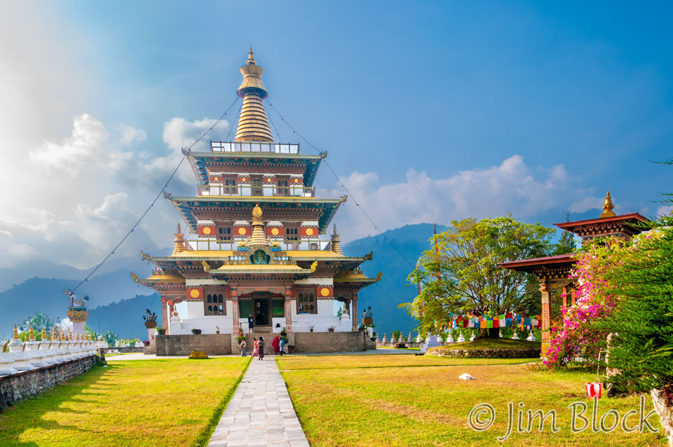
The temple is a 30 meter tall chorten consecrated in 1999 and dedicated to the fifth king.
Below is a 6-shot panorama of the courtyard from the temple. You can explore this image in detail. You can double click once or twice or three times to zoom way in and use the left mouse to pan around. You can also use the + and – keys to zoom and the arrow keys to scroll. Please wait for the resolution to download.
We took off our shoes and hats and entered the temple. We immediately climbed to the upper level. The view was beautiful but unfortunately the day was very hazy. I took a photo with my iPhone and greatly enhanced it in-phone to increase the contrast and saturation. Here are the original and the enhanced version.
Photographing the scene from the top of the temple was frustrating because of the haze — the photos were pretty flat.
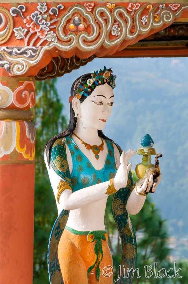
On the top level of the chorten was the only statue in Bhutan we were permitted to photograph. It is a shame because many statues in the temples and museums were very beautiful. Here are some photos I took while we were on the upper level.
Back on the ground level outside the temple I took a few more photos.
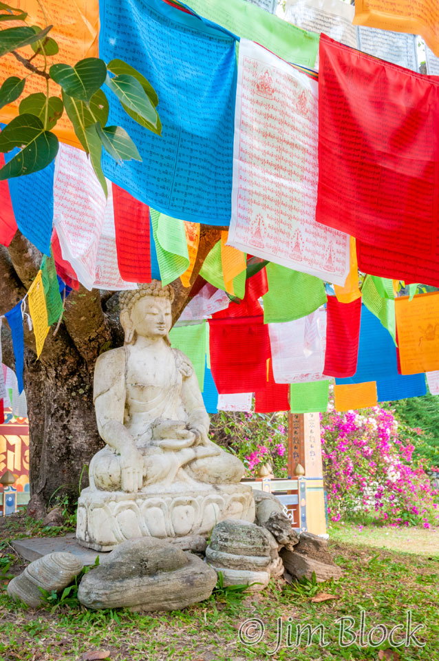
We exited the grounds to the right on a different path than we entered. In this way everyone walks around the temple clockwise as is the Buddhist custom.
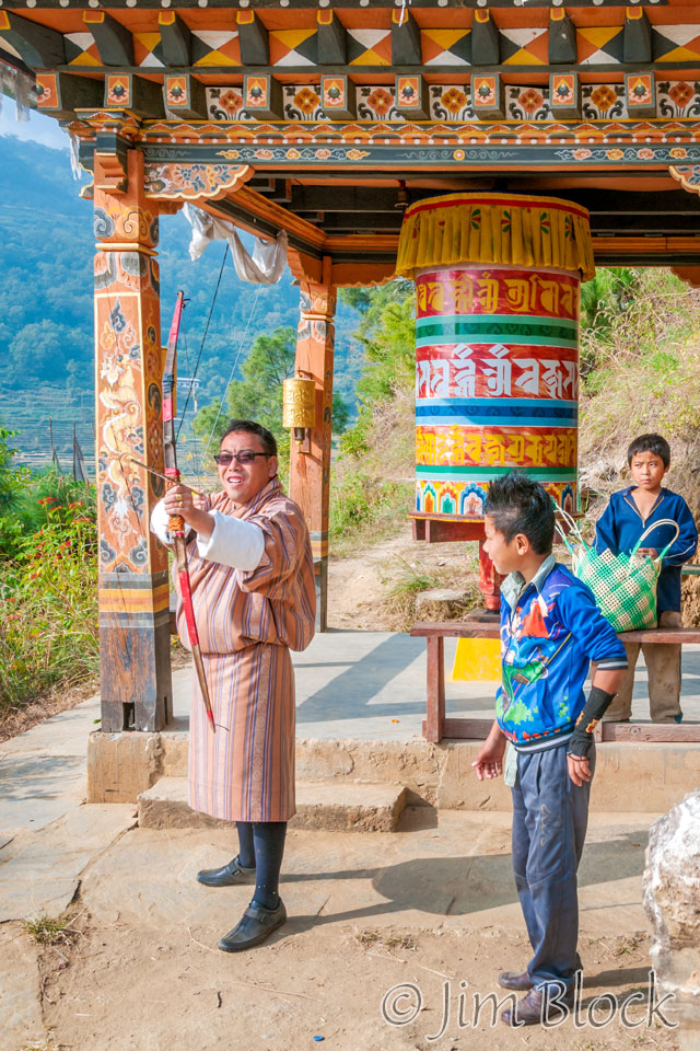
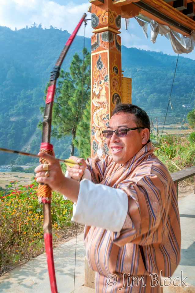
Down at the prayer wheels where the trails merged, Kencho found a bow and arrow.
Here is a 19-shot panorama of the fields below the temple. You can explore this image in detail. You can double click once or twice or three times to zoom way in and use the left mouse to pan around. You can also use the + and – keys to zoom and the arrow keys to scroll. Please wait for the resolution to download.
We completed our hike down, meeting other people heading up. It was barely 9 am.
Before leaving Punakha we took some last photos of the Punakha Dzong.
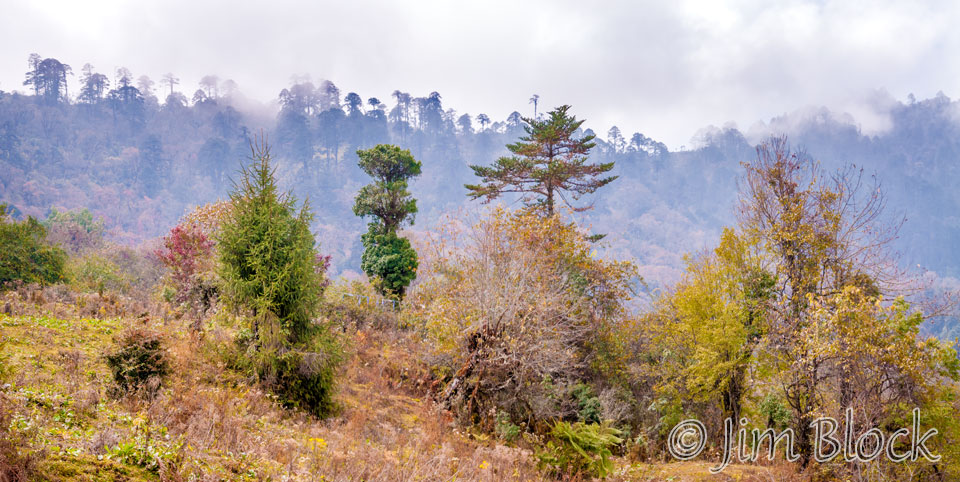
We passed through the road construction zone and switch backed our way up to Dochu La, the pass between Punakha and Thimphu. The forest on the way up was beautiful. I took some photos out of the window of our moving car, but they were not very successful. We were early for lunch, so Lakey had Kencho stop the car and make us walk. This was a great idea because it allowed us to photograph the trees in a proper manner. You will note we had some fog as we approached the restaurant which was just below the pass.
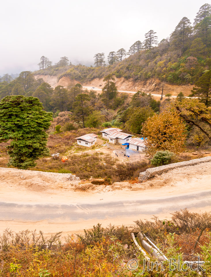
We got to the restaurant a bit early. This gave me a chance to photograph a few modest abodes below the restaurant terrace.
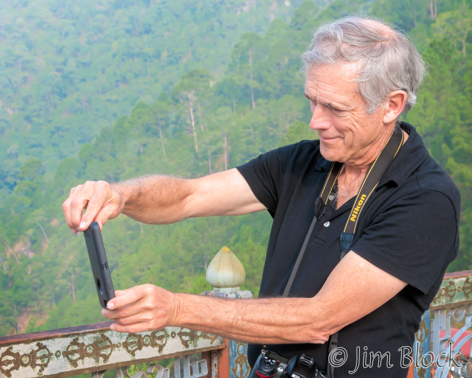
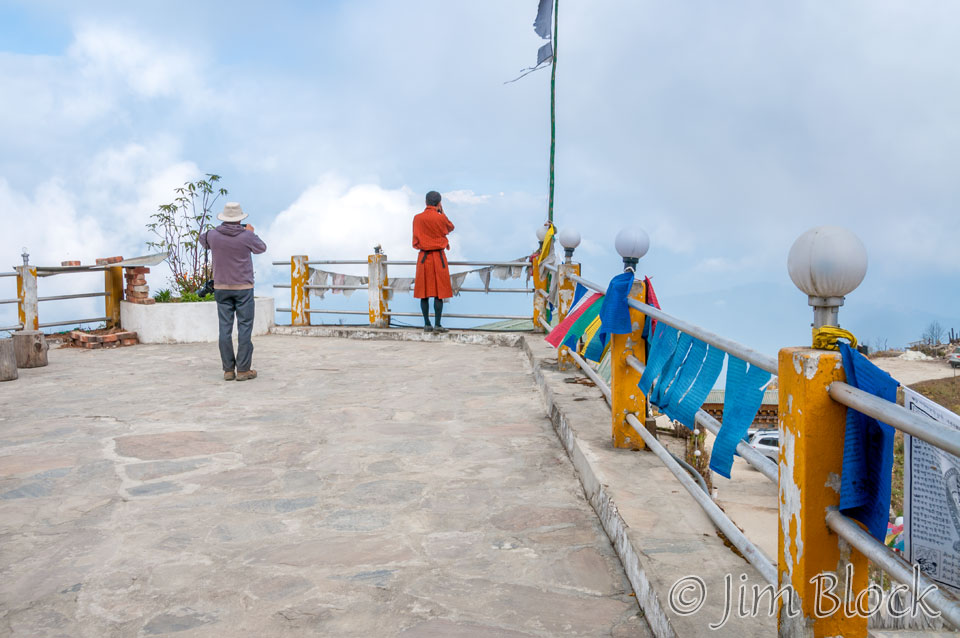
Reportedly the terrace had a great view of the mountains of Bhutan. Unfortunately the clouds did not cooperate. Here Stephen and Lakey attempt to get some photos.
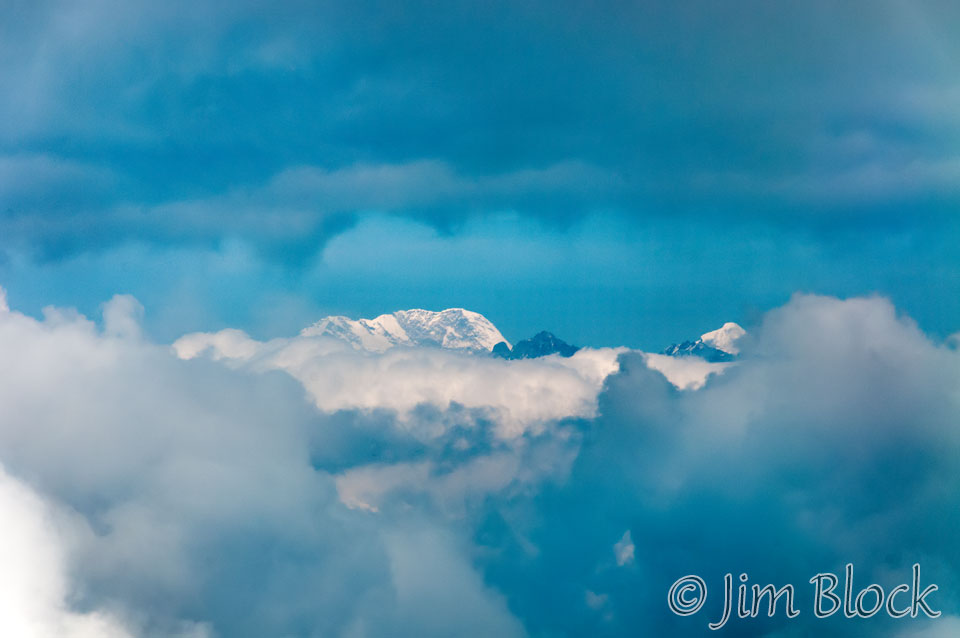
Below is the best I could do with a lot of enhancement. It is the mountain to the right of Lakey’s head in the photo above.
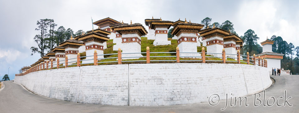
We stopped briefly at Dochu La and the 108 chortens. We were now over 6200 ft above Punakha. 108 is a sacred number to the Buddhists. This somewhat distorted view is a 3-photo panorama.
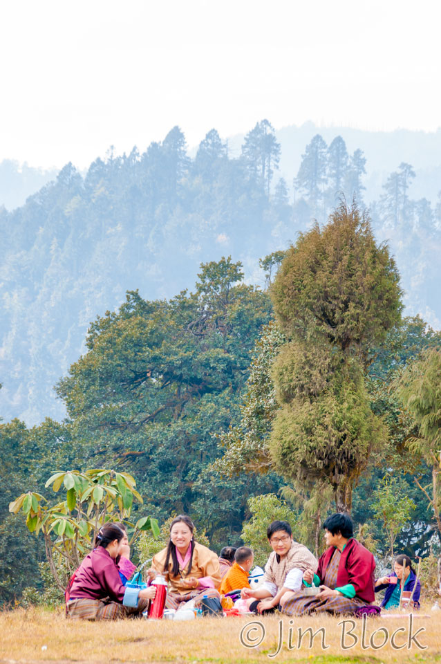
A family was having a picnic lunch on the grounds.
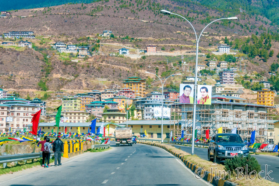
We made a quick stop in Thimphu. Here is my first view of the city from the ground. I also saw it from the air earlier.
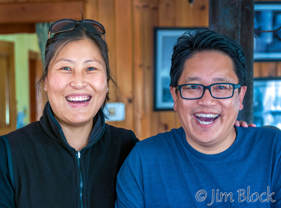
We stopped at Dhamey’s home. We met his charming wife, Sonam, and our trek guide, Phub. Here are Dhamey and Sonam in their home.
You can see more photos from the several days we spent in Thimphu after our trek if you CLICK HERE.
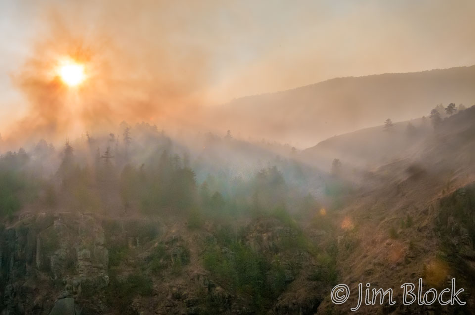
We saw a wildfire on our drive to Paro. Here are two photos of the fire.

We stopped briefly in the town of Paro before heading to our hotel for our last night before our trek.
The photos below shows Paro and my bag being carried into our room. It seems in Bhutan, young woman carry bags at hotels.
This is the hotel with the creaky floors we stayed in earlier in the trip. I suspected they were creaky in just the large, beautiful, second-floor corner room we had earlier, but it turned out they were also creaky in the one-story motel-like room we had this night.
The dining room was noisy but the dinner was excellent. After dinner we met a real character and very nice guy. He was on the last day of leading a tour. He also owned a hotel in Thimphu (it turns out just a stone’s throw from where we stayed after the trek) and, believe it or not, some of the land we had hiked earlier in the morning through the rice fields of Punakha.
He shared some whiskey with us and, since the internet at the hotel was down (again), he turned his phone into a mobile hot spot for us so we could message home before leaving on the trek the next morning.


