Thorong La
La means pass, so saying or writing “Thorong La pass” is redundant. At almost 18,000 feet and a long way from any medical help, it is certainly the most dangerous part of the Annapurna Circuit. This was my third trip to Nepal and the one with the largest group of Americans — eight including a husband and wife and a pair of fathers and sons.
The day we hiked from Yak Kharka to Thorong Phedi where we would sleep before crossing Throng La, we had to navigate an extremely perilous scree slope. You can see it and the path across it on the left side of the photo below. You might also be able to spot just a bit of Chhongba on the left-hand edge. If there was a rock slide or slip, one would tumble down over 1000 feet, probably not surviving. Throng Phedi is up somewhere in the top left-hand corner of this photo. Above that to the left is Thorong La.

We were severely warned about Acute Mountain Sickness !!! as we entered Thorong Phedi. It not to be taken lightly. It can be deadly.
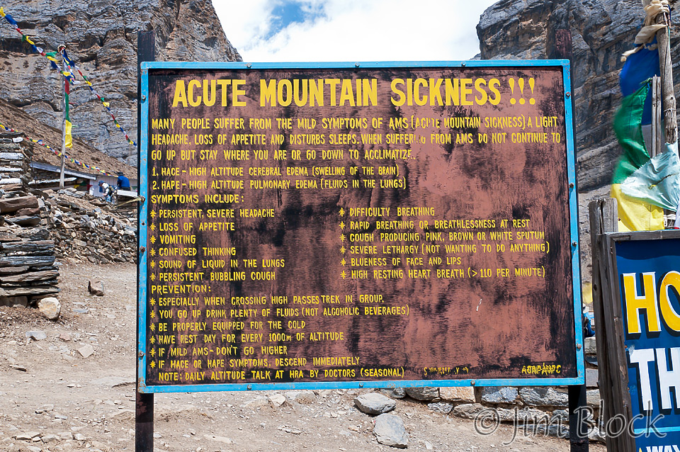
Wake up time was set for 2:30 AM for our assault on Thorong La. It was a very long and challenging hike, so for safety we need to get started early.
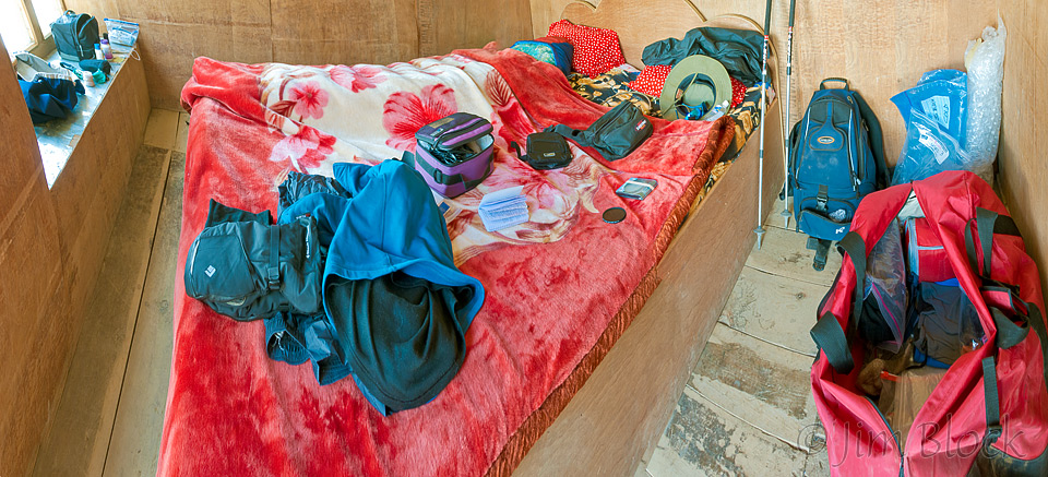
I spread out my gear to prepare to leave quickly in the morning. Before bed I got it organized to the very basics for the early climb. It may look like a person is sleeping at the far side of the bed. That is just my sleeping bag under the blankets.
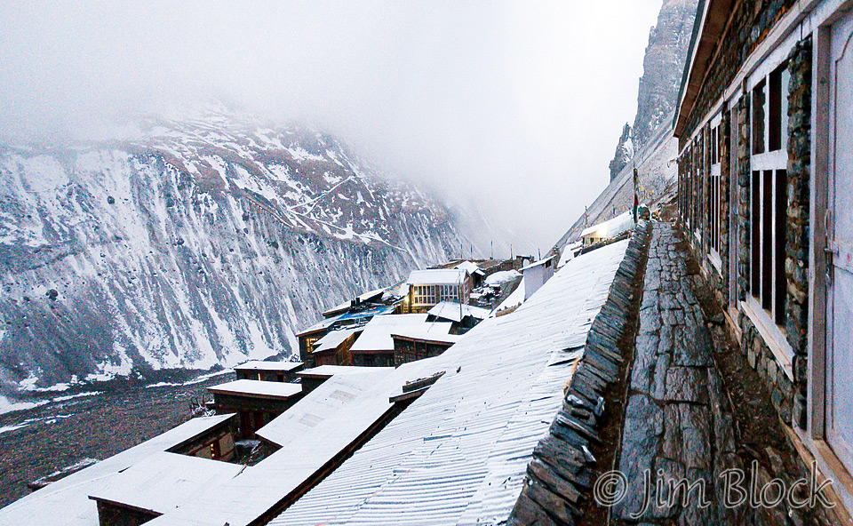
That evening it snowed. This photo was taken at 6:45 PM from just outside my room. Chhongba said if we got too much snow we would not go. He is more savvy than the 42 trekkers and sherpas who died in a snowstorm in 2016 on and around Thorong La and Dhaulagiri. We would be walking toward Dhaulagiri after crossing the pass.
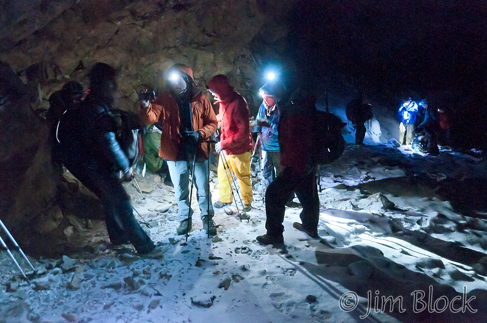
In the morning there was fresh snow, but not too much. We didn’t leave Thorong Phedi as early as Chhongba wanted. We began our long uphill slog a little bit before 4:00 AM. Our headlights guided us in the dark. At 4:45 AM, we stopped under an overhang to rest for a few minutes.
It snowed lightly all the way to High Camp (16,010 ft), which we reached just before 5 AM. High Camp is basically just a small set of lodges, and it seemed deserted. Earlier in the trek Chhongba indicated he was thinking we might stay at High Camp instead of Thorong Phedi the night before crossing Thorong La, but then he thought better of this. The doctor at the clinic in Manang warned against staying at High Camp. He said it would lead to a very poor night’s sleep, only an hour head start, and crossing the pass we would be much more tired.
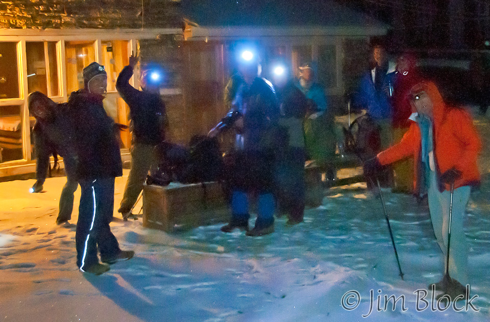
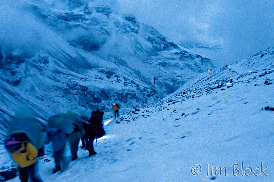
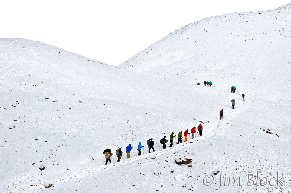
We climbed higher and higher continuing to breathe very heavily. One step, one deep breath, repeat. By 5:30 AM we could turn off our headlamps. But in this photo at 5:32 AM you can still see that some of the headlamps were on.
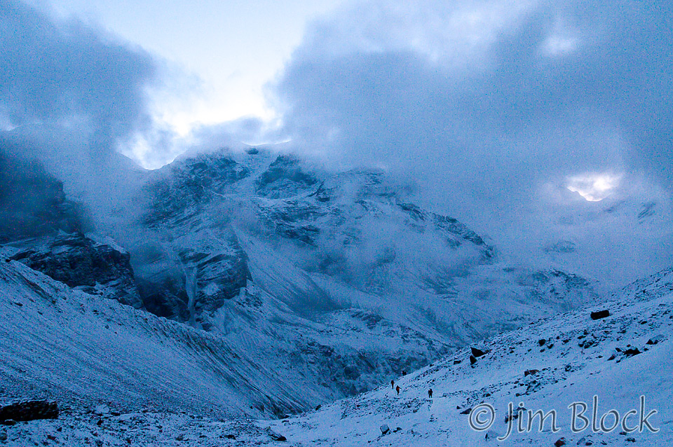
Before 6 AM the sun started hitting the distant peaks. It was beautiful and other-worldly — trekkers walking single file in the trampled parts of the deep snow.
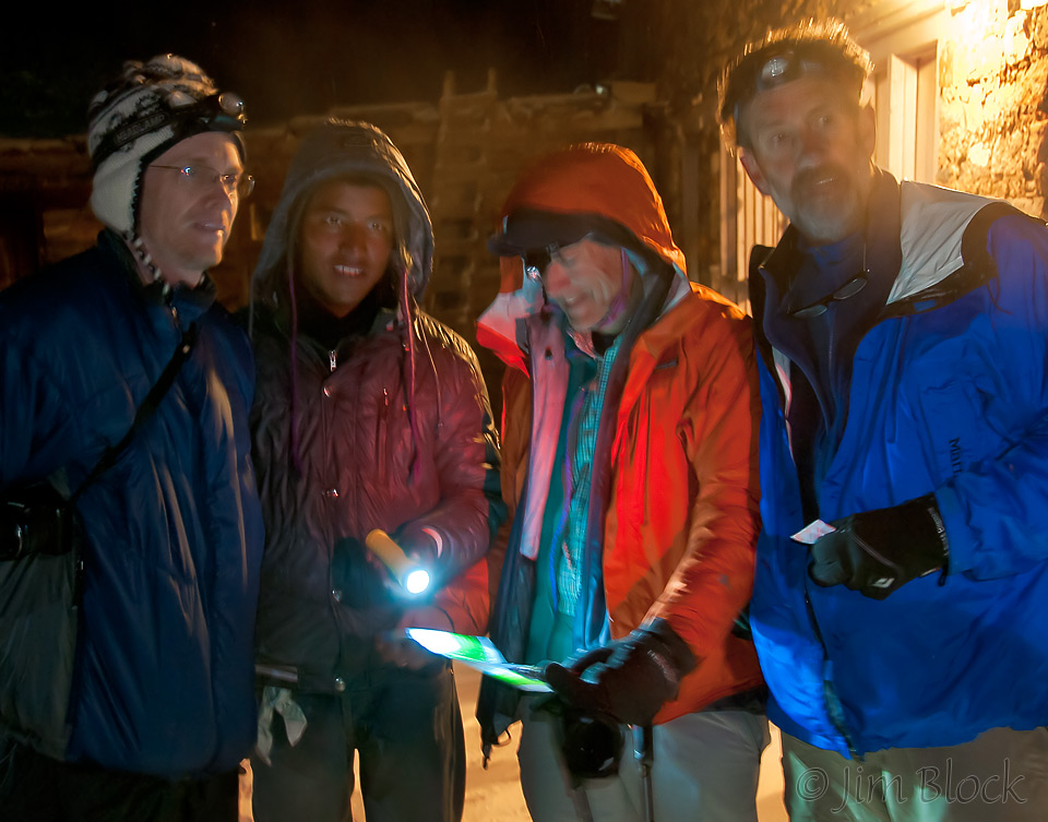
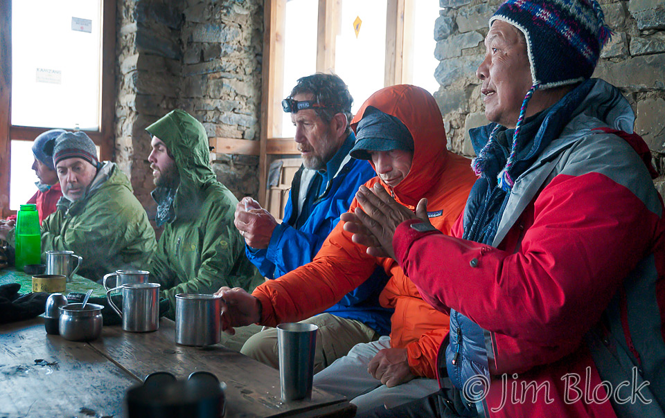
Just after 6 AM we reached a teahouse about 2.5 miles from Thorong Phedi. I skipped the tea so I could take photos. We had 1000 feet of climbing still to do. Left to right are Lisa, Tim, Kevin, Milt, Stephen, and Chhongba.
Here we are climbing above the teahouse at 6:33 AM.
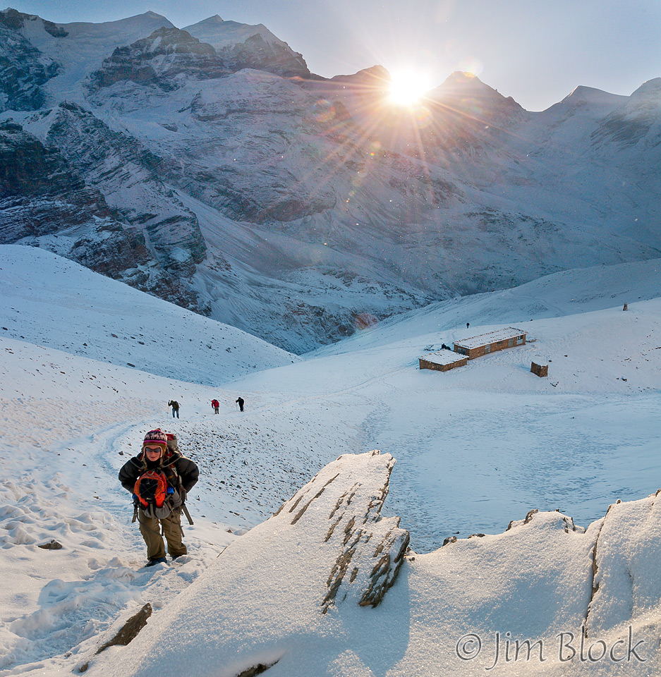
We were still slogging higher and higher at 7:06 as the sun was now bright over the mountains.

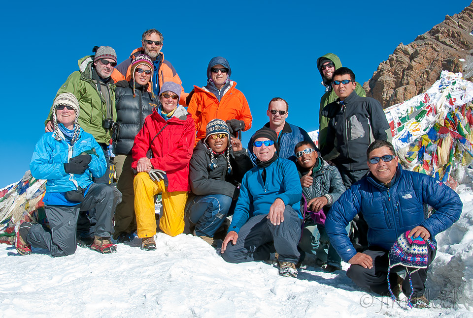
We saw many false passes. It looked like we were almost there, then when we got there, we would see another scene that again made it seem that we were almost at the pass. That happened over and over, until suddenly, the real pass — Thorong La, just after 8 AM.
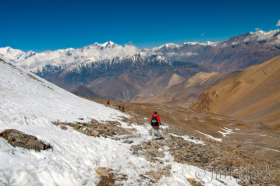
It was a very long and sometimes steep downhill hike from Thorong La to Muktinath. This side of the pass was very dry — after about an hour we were no longer walking on snow. It got drier and drier as the restricted area of Mustang to our right came into view. The largest peak in the distance is Dhaulagiri, the seventh highest in the world at 26,795 feet. It is also the highest mountain in the world that is completely within the borders of a single country.
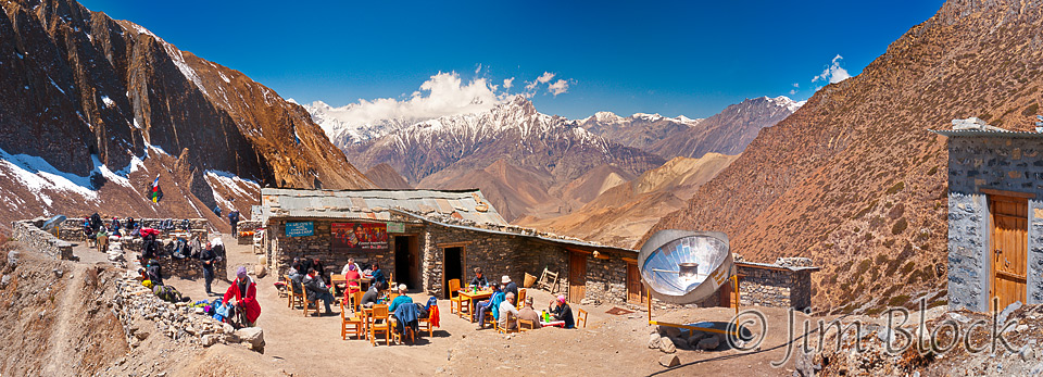
We stopped for lunch at a high elevation restaurant at around 14,000 feet. It was about two-thirds of the way down to Muktinath, at a place called Chabarbu, not a real town.
We made it ! At dinner that night I told Milt, who was walking behind me most of the way, that I was sorry I stopped so often on the way up to take photos. He commented that he was happy I did because it gave him a chance to catch his breath. All the way up it was one step, one deep breath, another step, another deep breath.
