So-so sleep. I awoke at 11:30 PM briefly, then again at 2 AM, and slept fitfully after until 4. Lay in bed until 5:15. I took two Aleves and taped calf well, but I needed help with pack this day. That fast downhill the previous day really did a number on my strained left calf.
Staying two nights in Chame was a great decision — nice place.
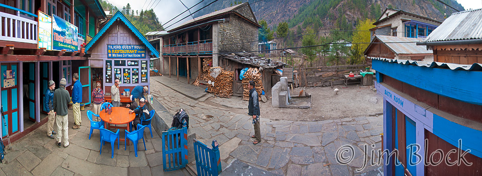
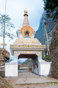
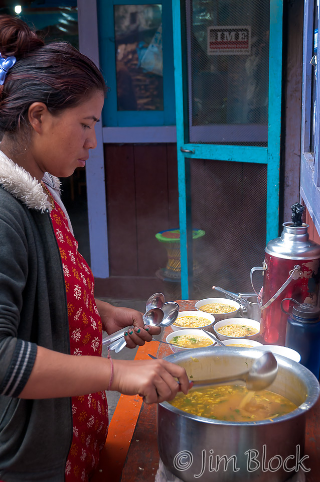
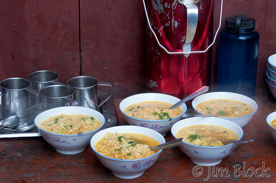
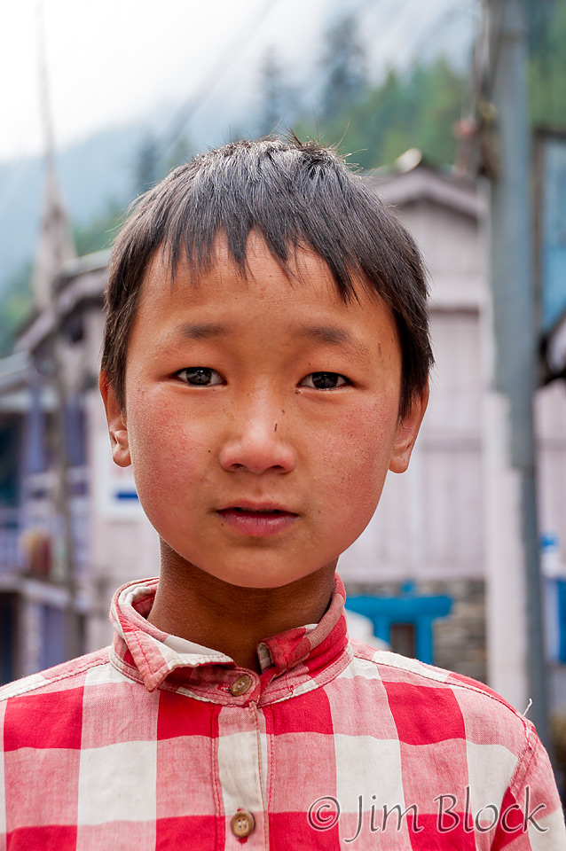
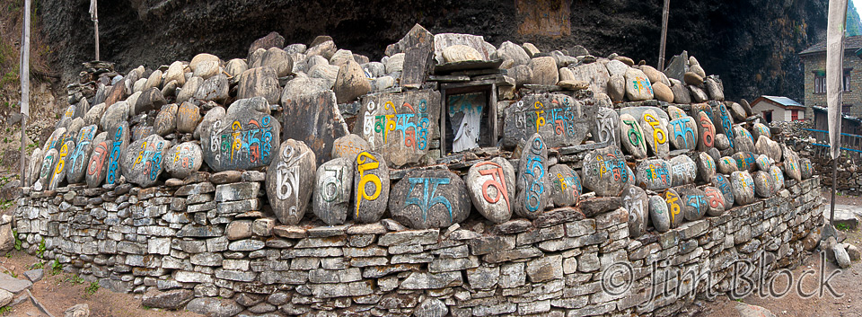
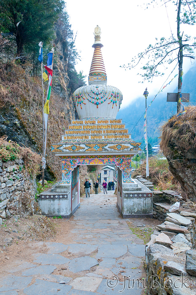
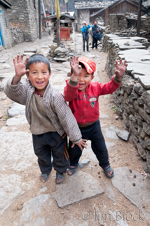
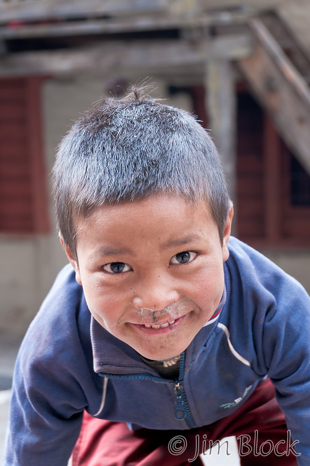
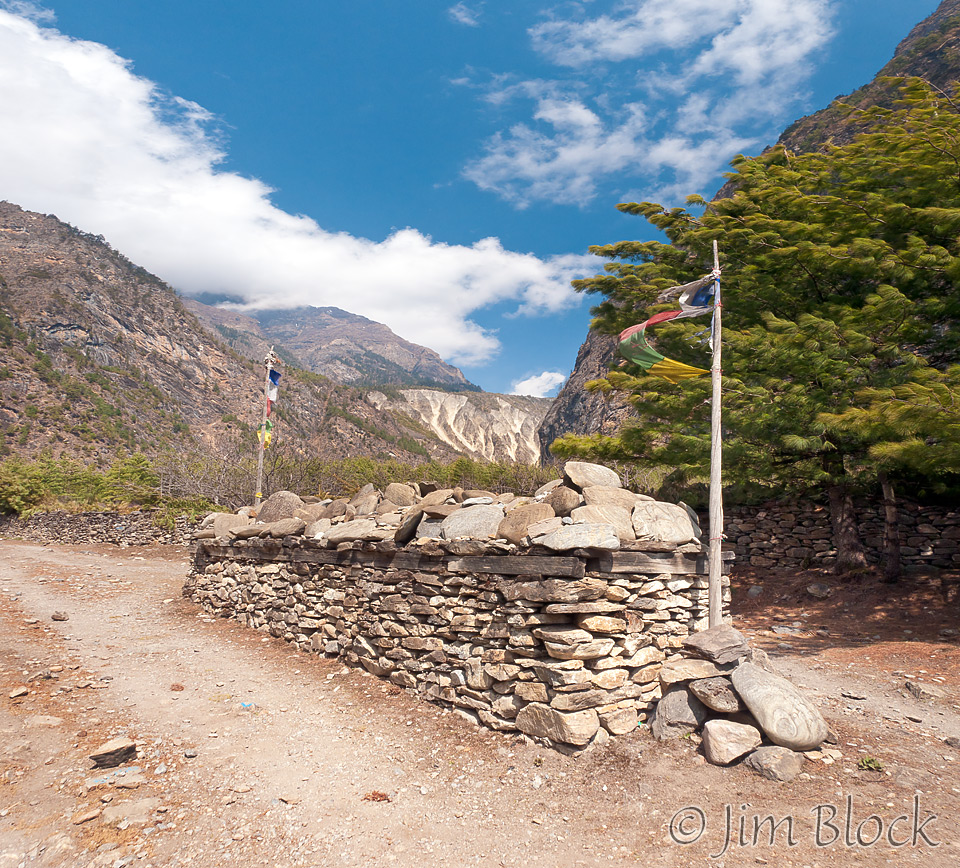
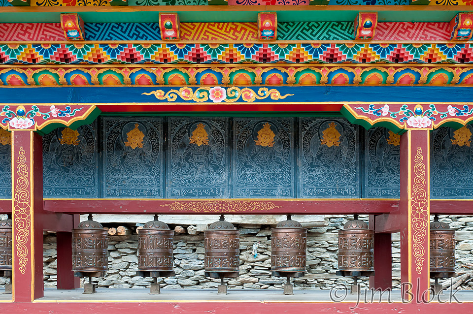
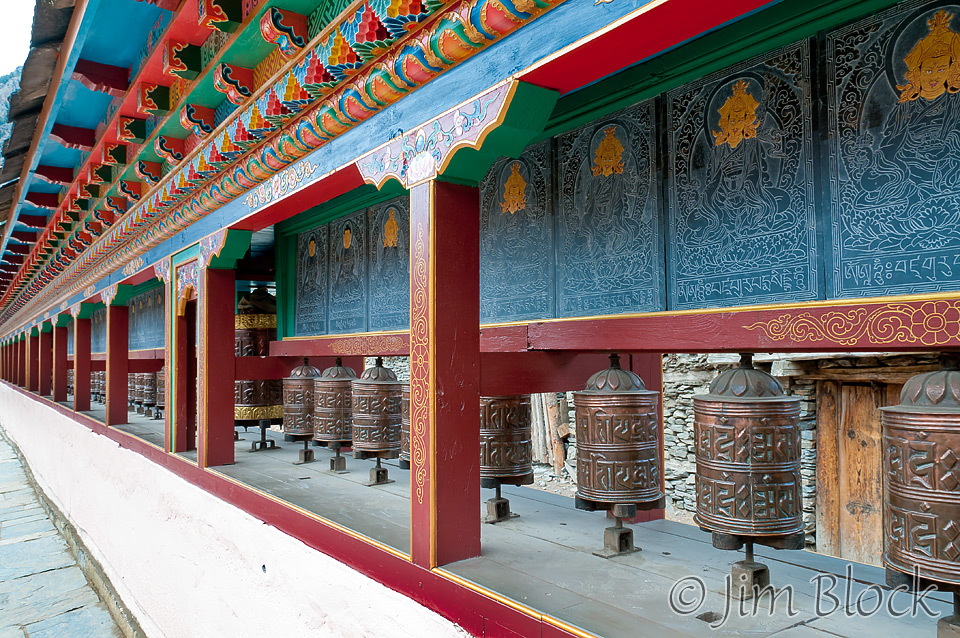
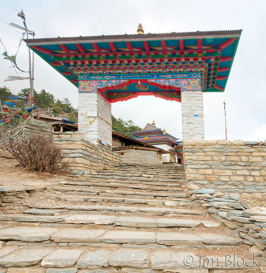
Coffee on our sidewalk patio, hot noodle soup for breakfast, and we were off past a mani wall and beautiful chorten gateway marking the far end of town. Kids waved good-bye to us; almost all of them seemed to have a perpetual crust beneath their noses.
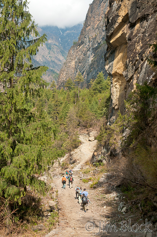
Our destination for the day was Pisang at 10,466 ft, 1500 feet above Chame but 400 feet below where we climbed to yesterday. Chhongba knows the right way to do acclimatization. The clouds hung low and Chhongba suggested raingear. I wore my new 2-year-old gear for the first time, but it wasn’t needed. I stripped it off at the first opportunity.
My calf hurt badly all morning. Kevin came to my rescue. Since he had injured his back, he had a prescription for 800 mg Morin (4 times the normal dose). He gave me one at 1:15 PM and by 2:40 PM, when we reached Pisang, I had considerable relief.
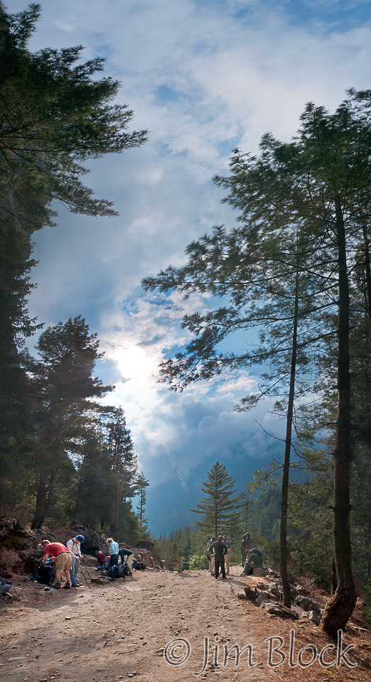
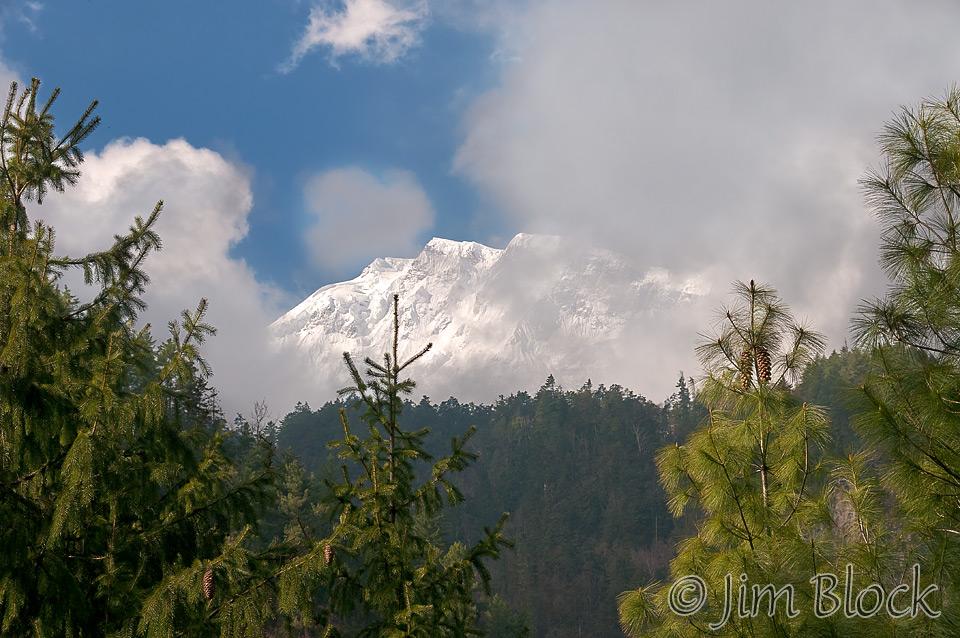
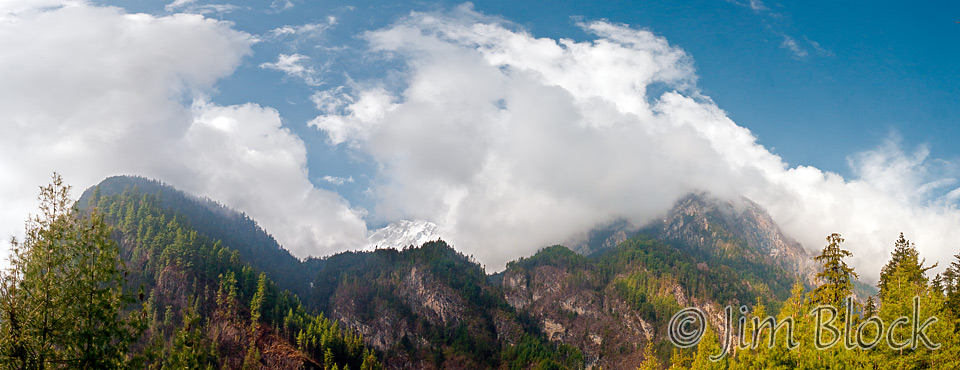
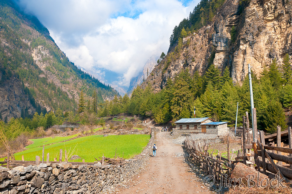
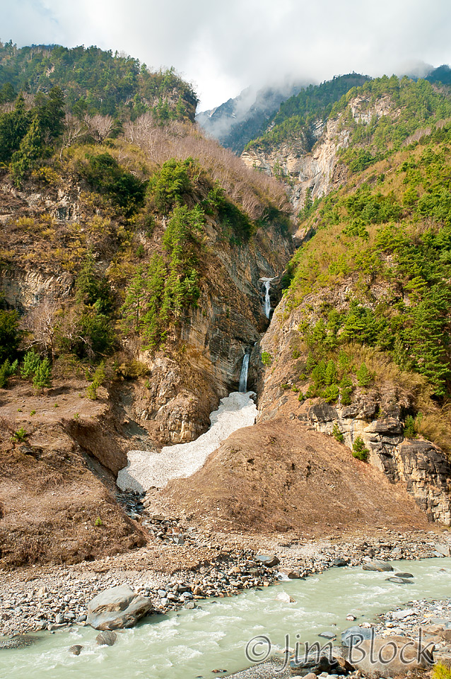
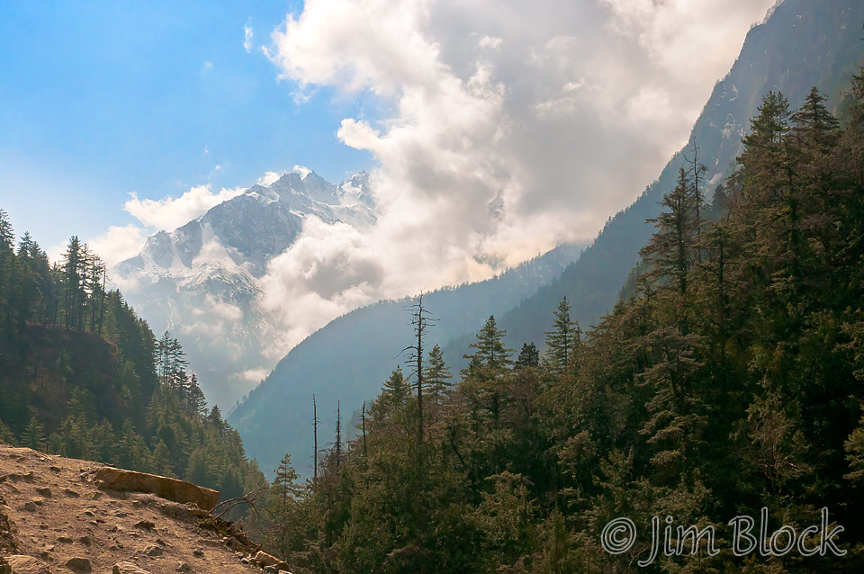
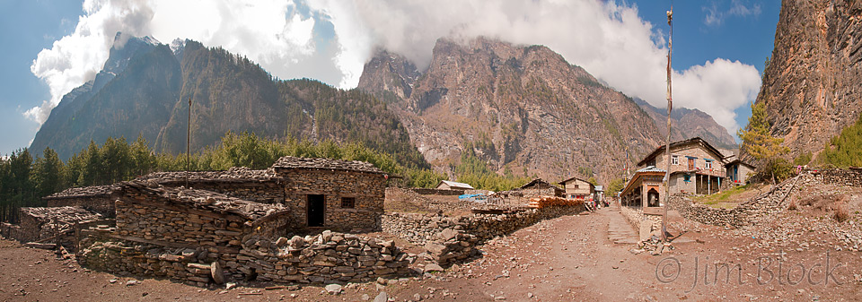
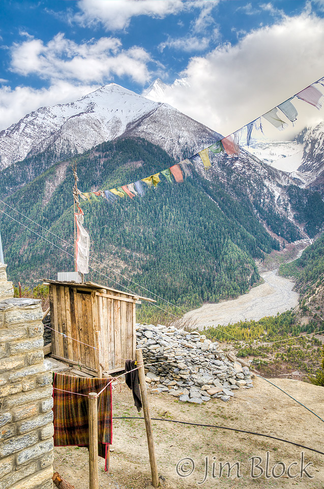
At our first rest stop near Thaleku, there was great light, so I did a pan of Lamjung Himal and photographed the vibrant green barley fields. Just past town was a nice waterfall with snow still at its base.
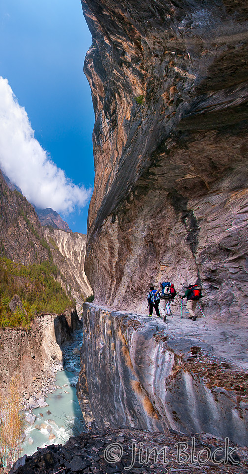
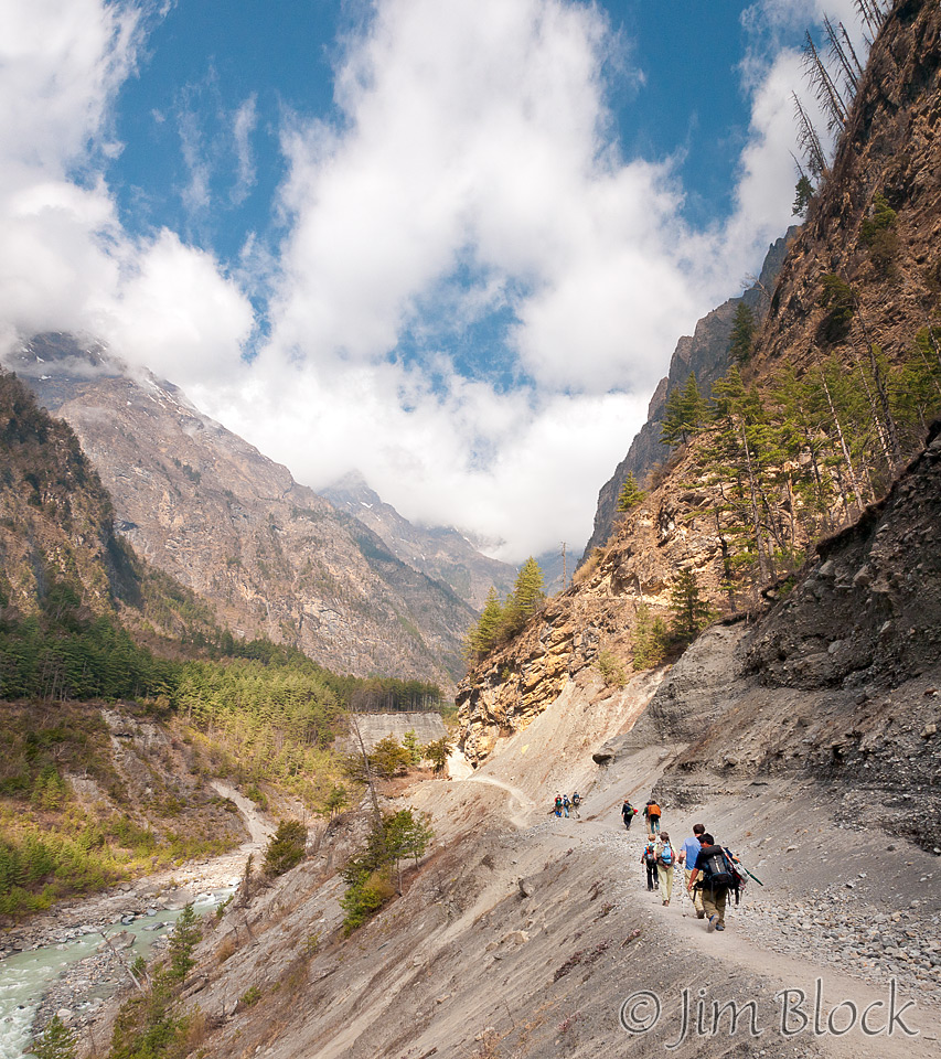
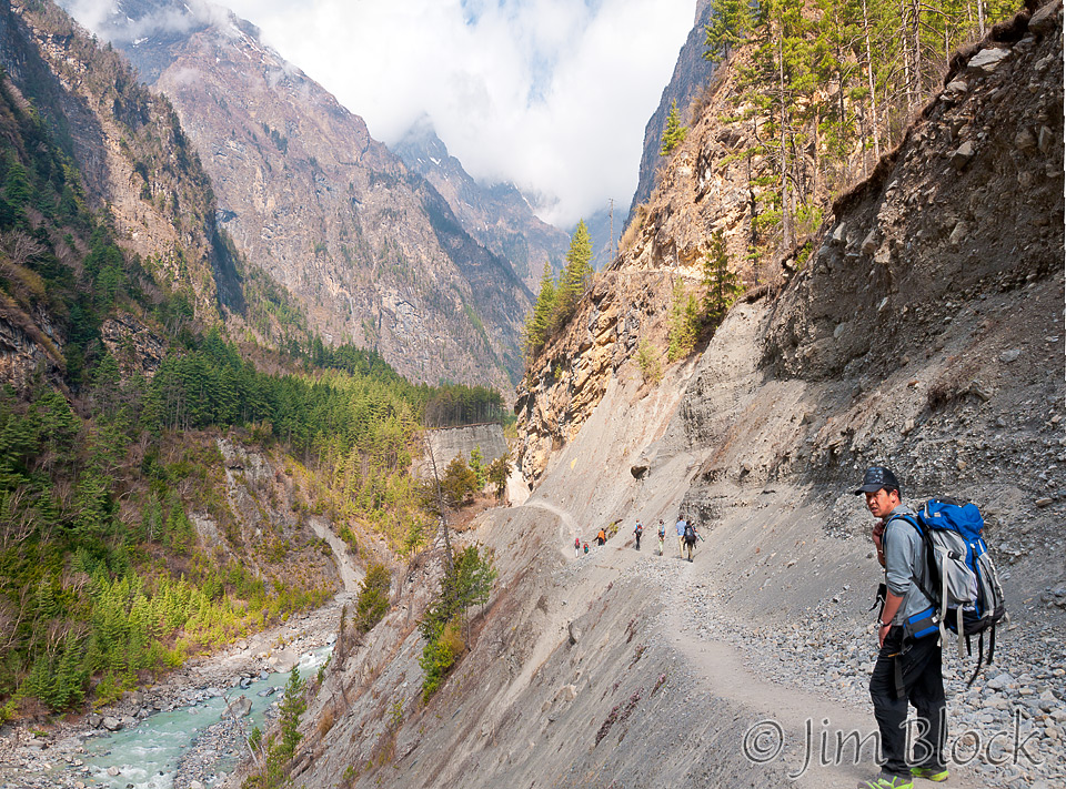
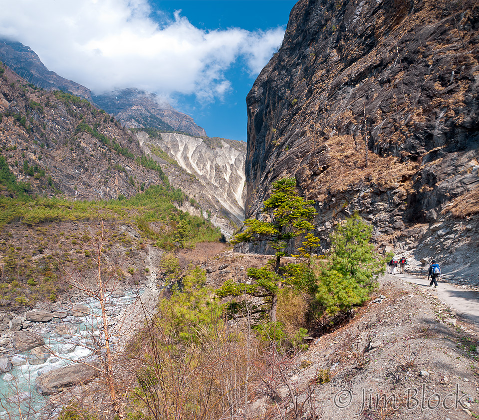
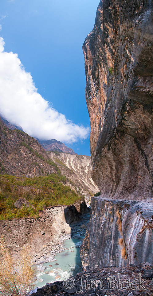
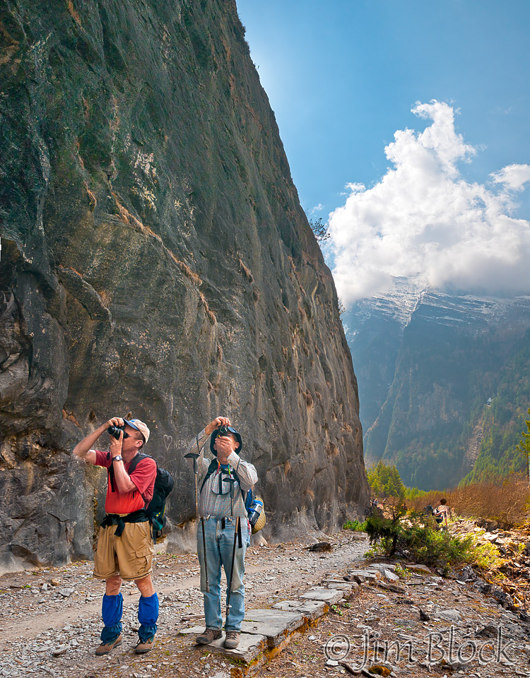
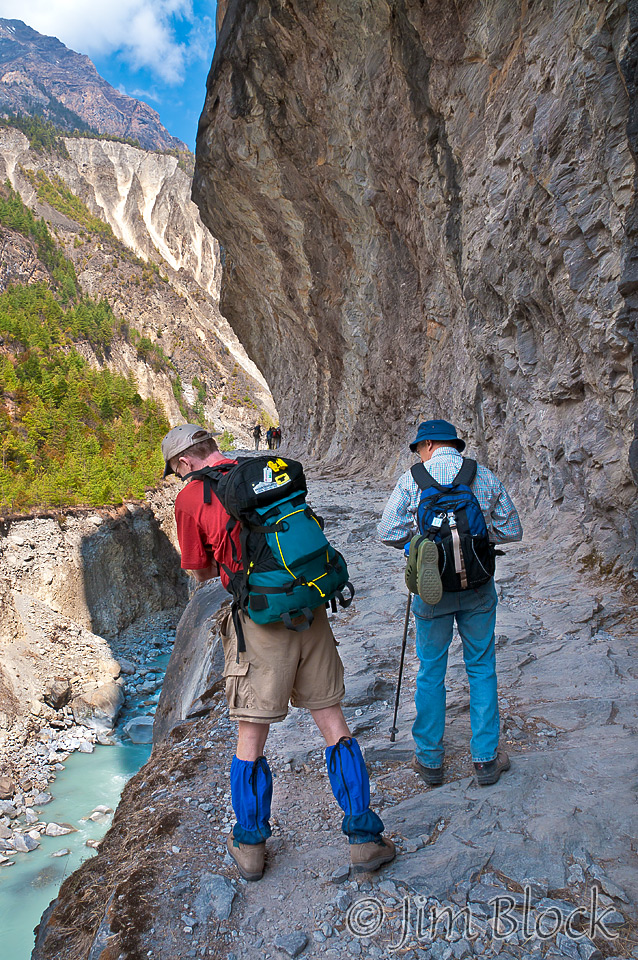
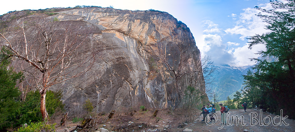
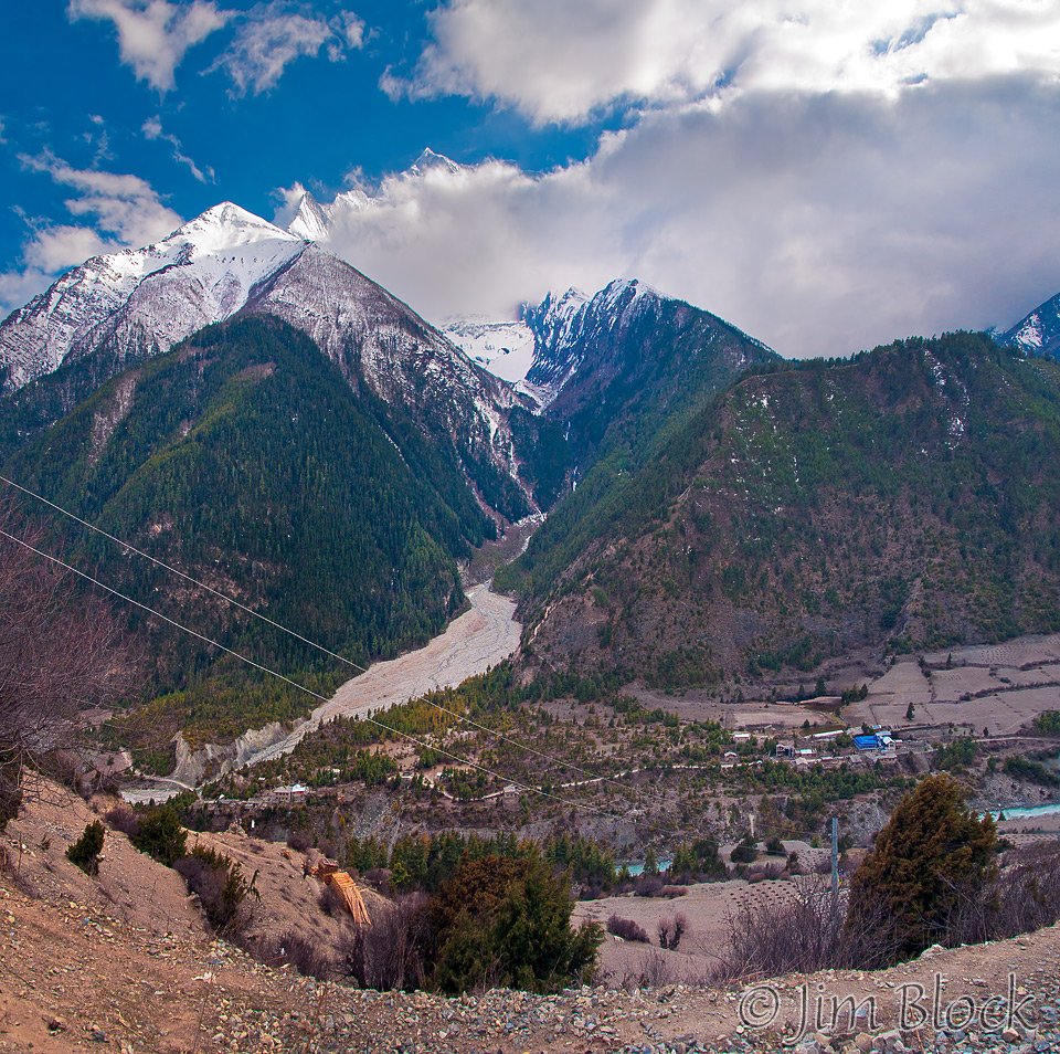
In the village of Bhratang, there was a mani wall and, 10 minutes past that, the trail got very dramatic. A steep wall rose to our right. A short step to our left was certain death in the shallow Marsyangdi far below. Once past that we saw an immense formation with a huge birch below it. This photo will be in the slide show, along with other features described here.
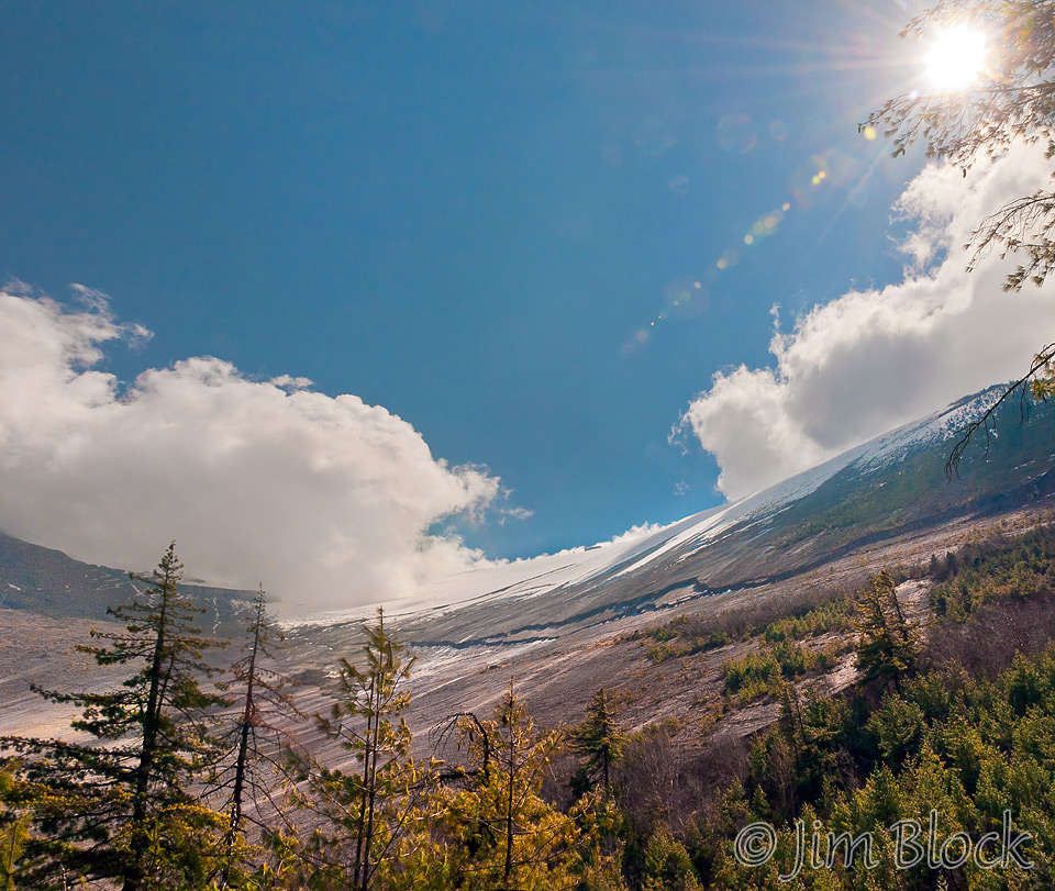
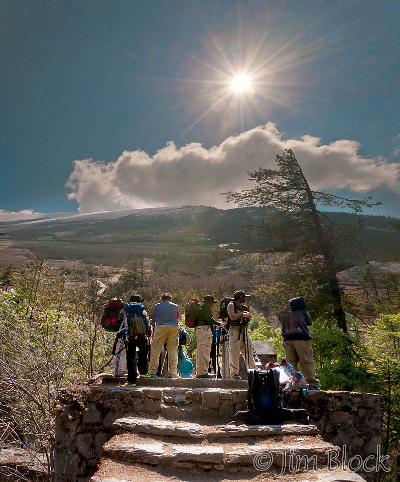
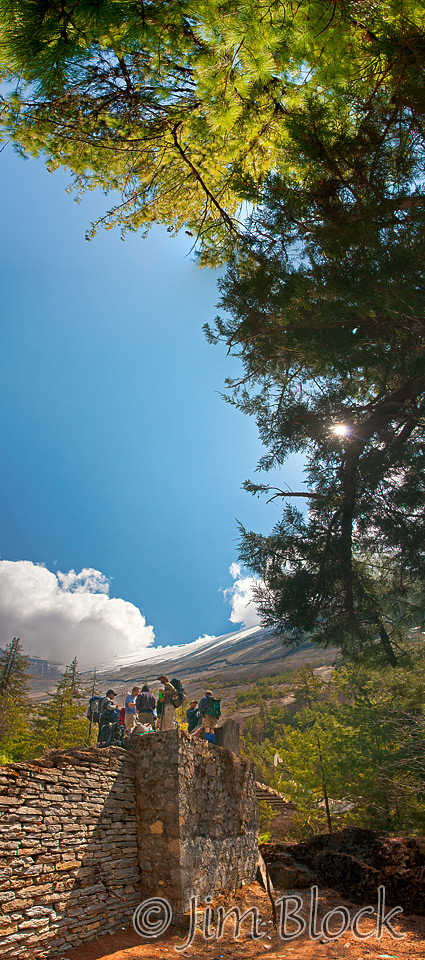
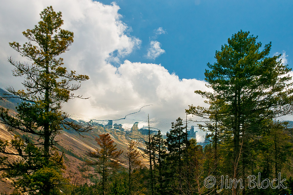
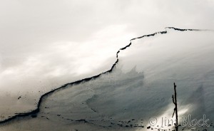
Twenty minutes later we had our first look at the amazing Paungi Danda, the Gateway to Heaven. This highway to heaven is believed by the Gurungs to carry the spirit of the dead up on their last journey, after rituals that shamans perform. The wall of slate soars 4000 ft up. It was hard to comprehend what we were looking at. The black line in the snow must be a “step” hundreds of feet high. Better overviews of it taken from Pisang follow on the next page, but here is a close up of part of this dramatic slope.
Near Dukhure Pokhari was saw a small lake! Pokhari is one of the words for lake—there are others like Gang as we will see in two days. Before the lake there was much green but from it to all the way to Kagbeni was very dry, except for a few spots. From Thorung La west and north to Mustang is the rain shadow of the Annapurna range, and hence this region is very dry except where a few rivers flow, draining the high mountains.
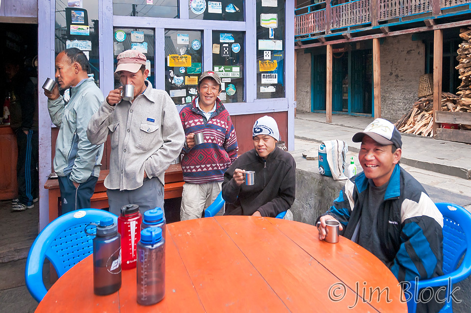
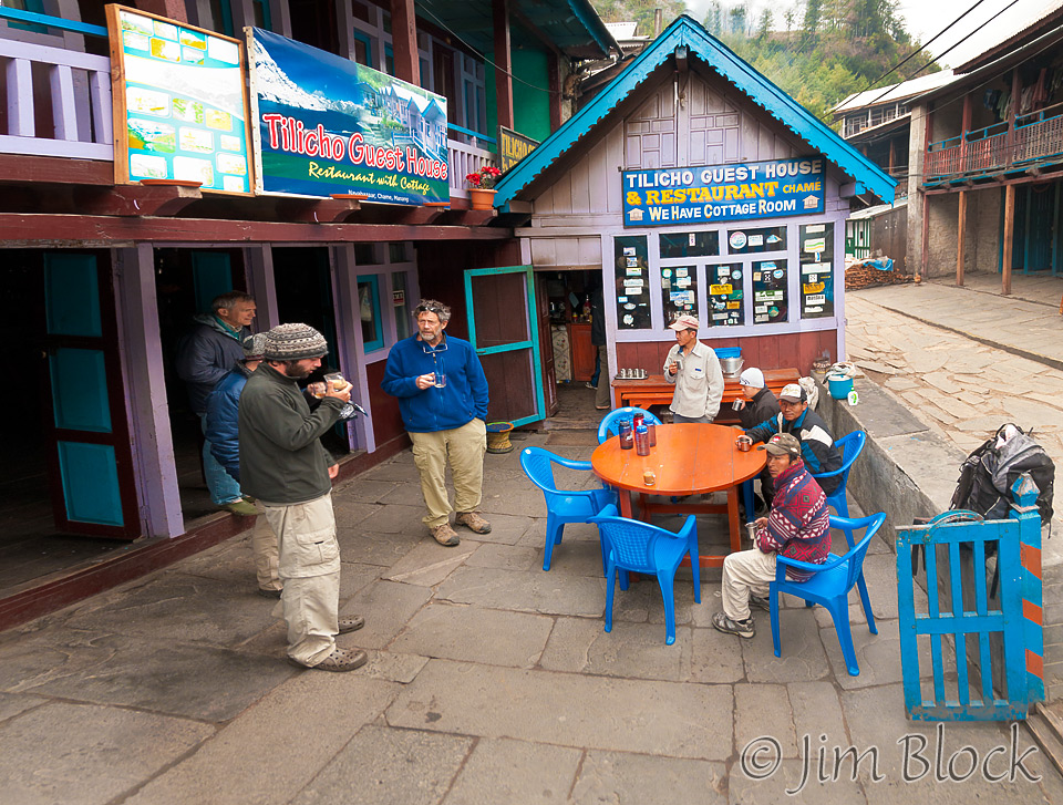
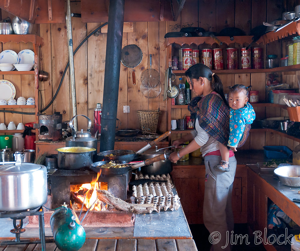
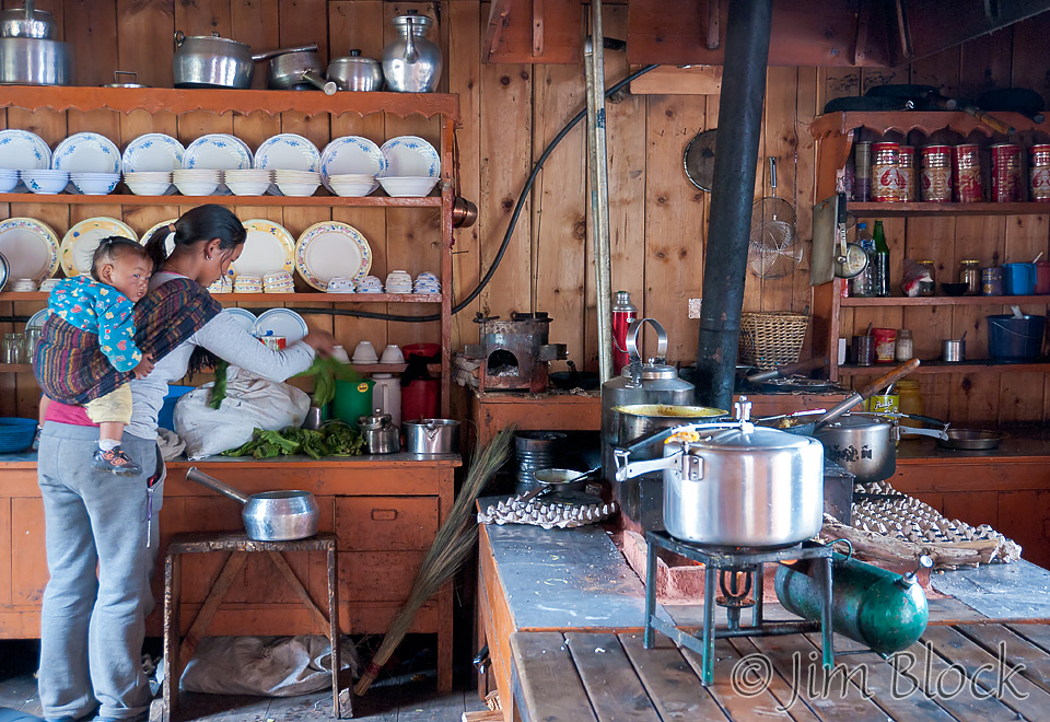
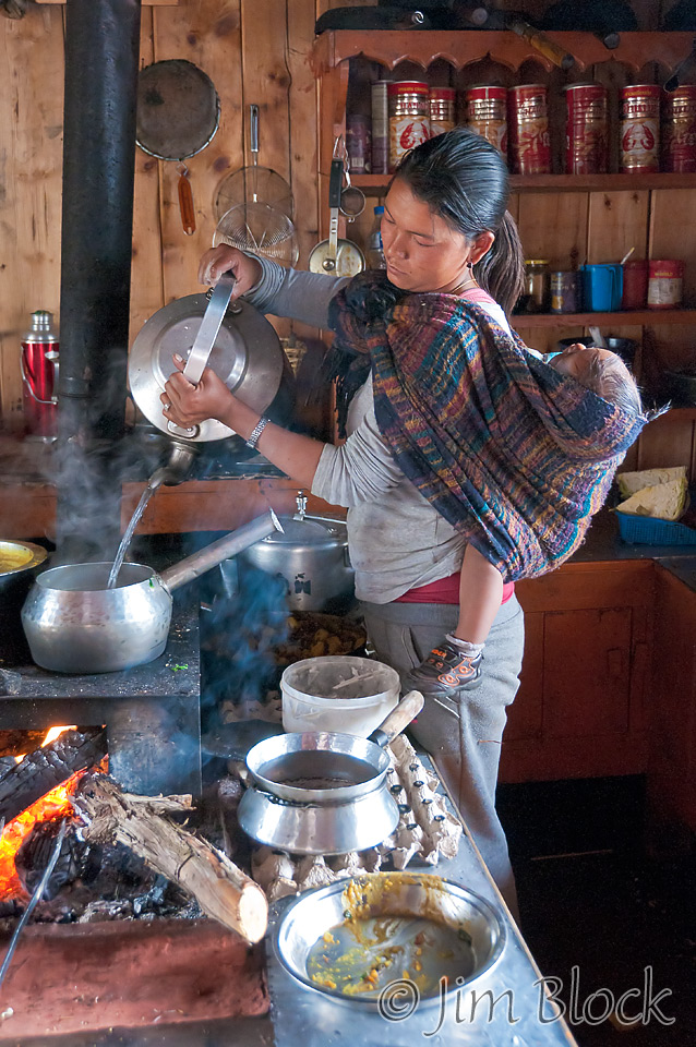
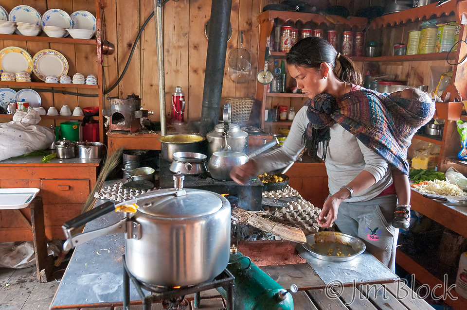
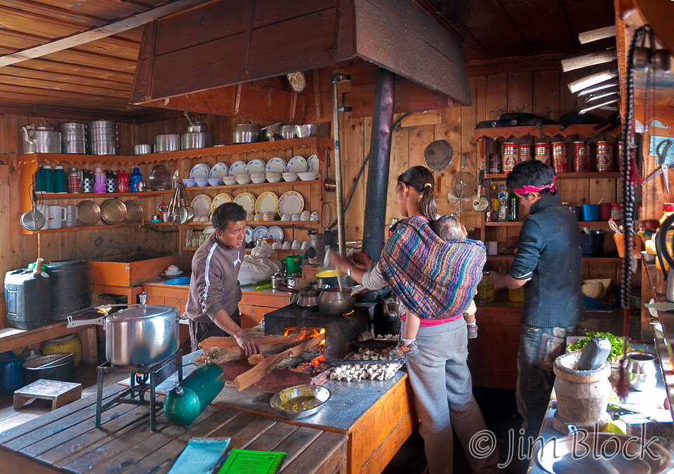
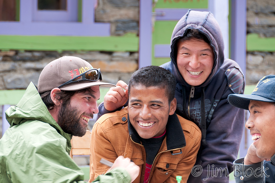
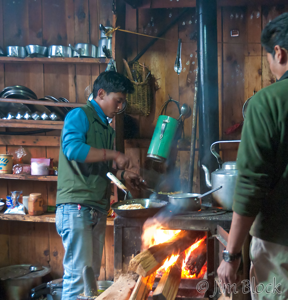
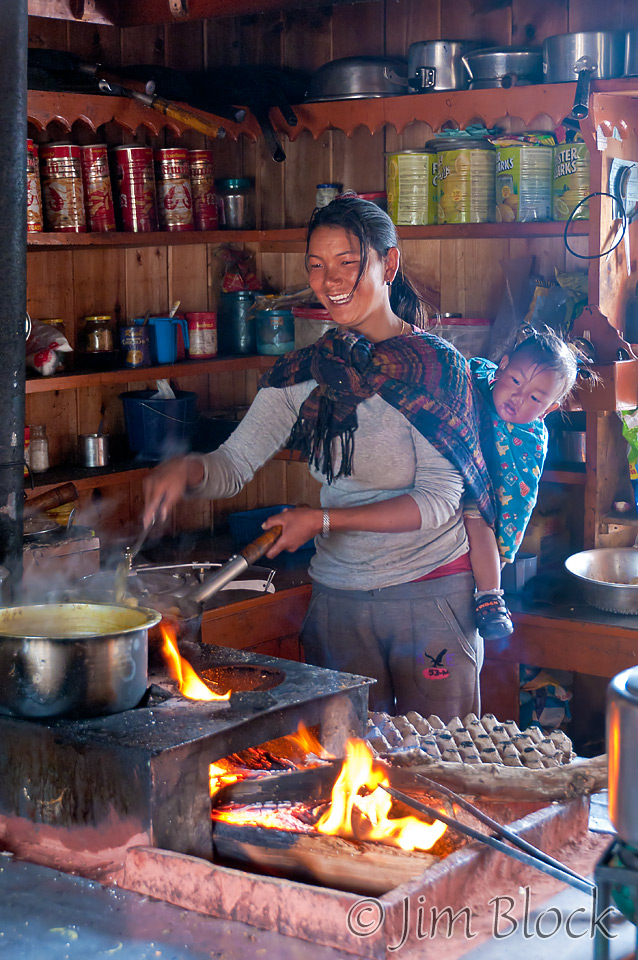
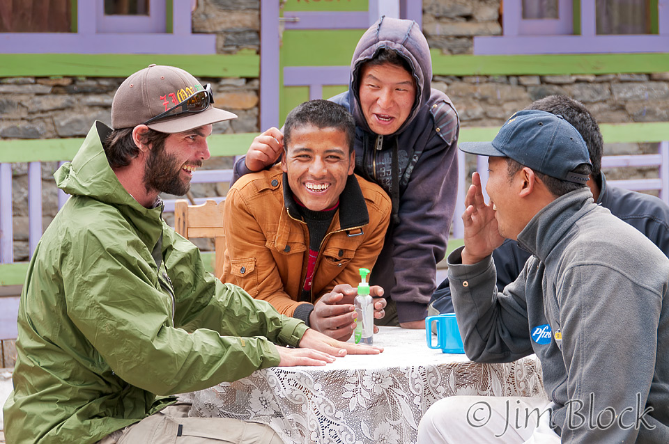
We had lunch at Dukhure Pokhari. Of course there was another great kitchen scene — a young woman cooking with a baby on her back, sleeping soundly part of the time. Outside on the patio, Kevin was bonding with the sherpas.
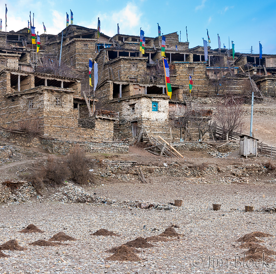
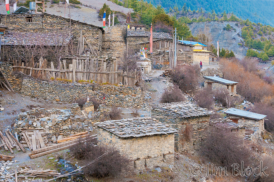
We were to stop for the night in Pisang, which was only an hour from our lunch spot. I asked Chhongba why we didn’t go farther so we could get closer to our destination. He didn’t answer with words, but after we settled into our lodge and later went for a walk, the answer was clear — above Lower Pisang was the wonderful old Upper Pisang seen below.

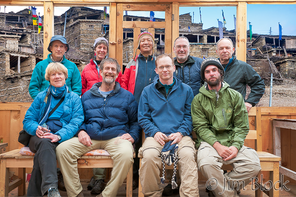
Before heading for a short uphill mini-acclimatization hike, we did a group photo at our New Tibet Hotel lodge in Pisang. I dropped in a different background to this photo. The original was taken indoors with an ugly plastic sheeted wall behind us. I replace this with what could be seen from this spot—Upper Pisang.
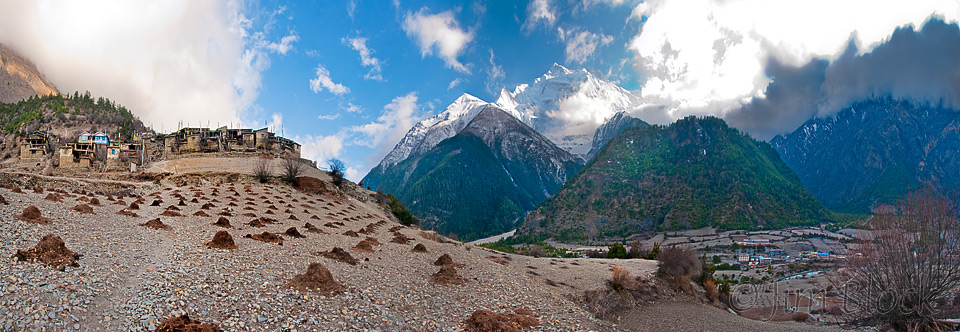
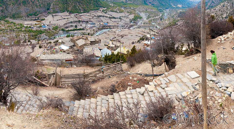
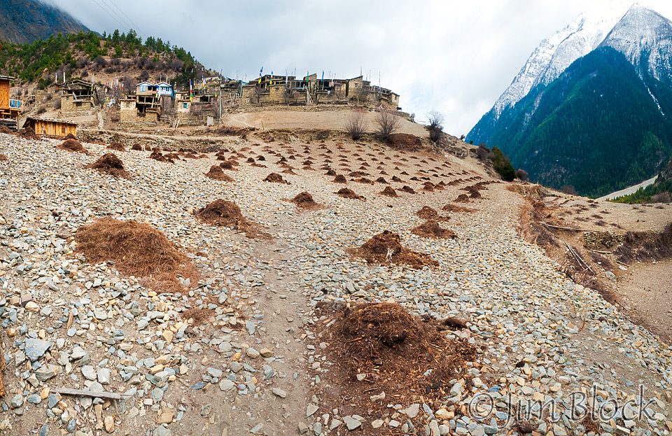
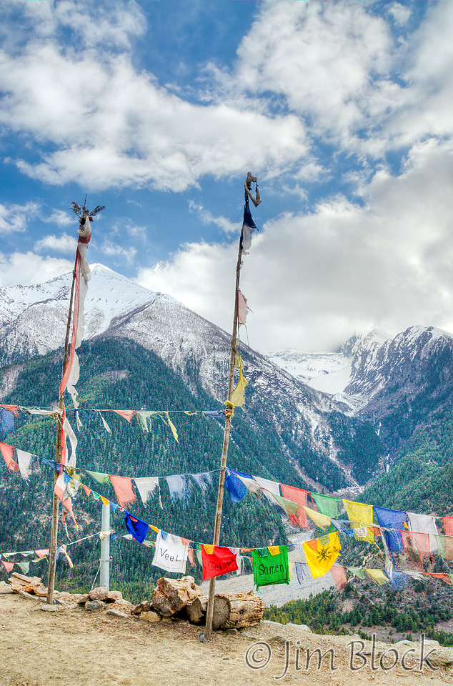
Mid-afternoon, we trudged down the very long steep stairway from our lodge to the trail and crossed the river to Upper Pisang. What an amazing place! As you can see in the photo below, the potato fields below Upper Pisang were filled with rocks. Apparently these hold the heat and potatoes grow well. It is astonishing that anything can grow in this soil, but piles of fertilizer indicated it was so.
You can click the image below to get to a site where you can zoom way in then pan around. When you get there, click the double arrow above the image on the right to see it full frame. Please wait for the resolution to download. You can use the + and – keys to zoom and the arrow keys to scroll. Or use the scroll wheel to zoom and the left mouse to drag.
Annapurna II is just to the right of center in this image. Our lodge, with it very long stairway, is at the right side of this photo, just above the village of Lower Pisang. My room was on the far right end of the lodge.
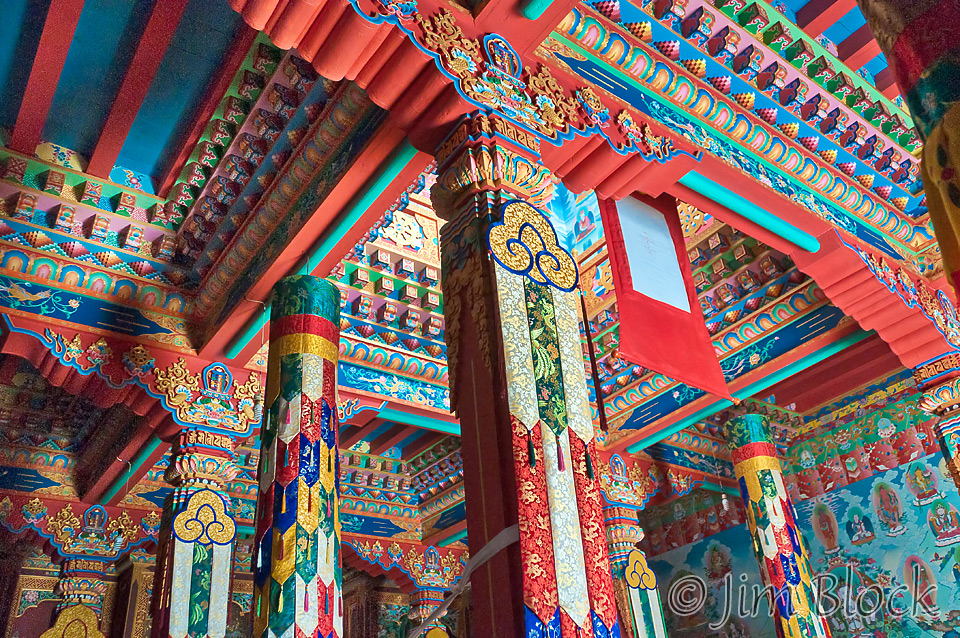
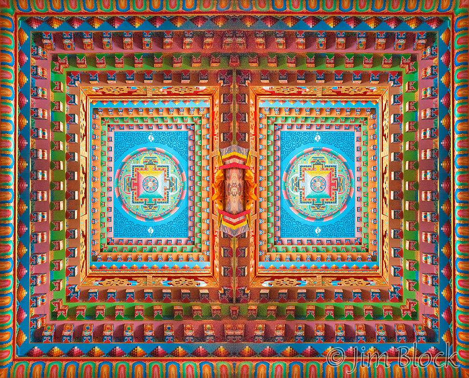
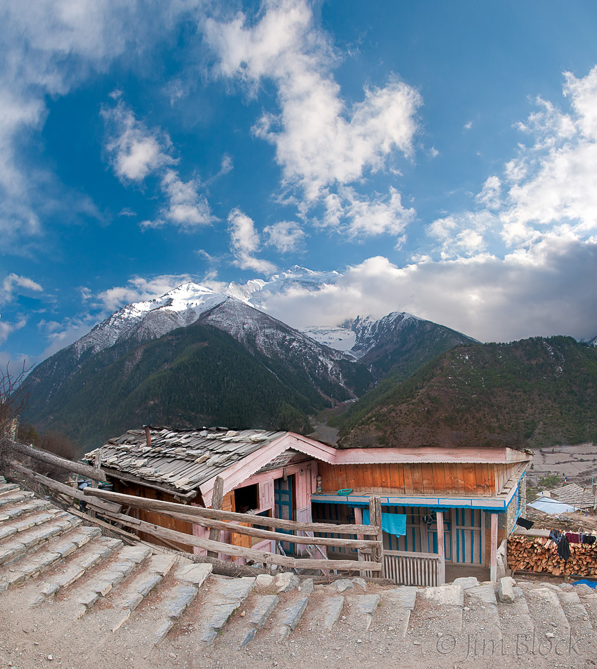
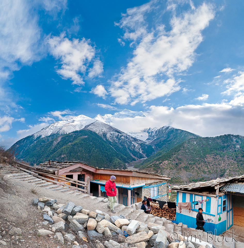
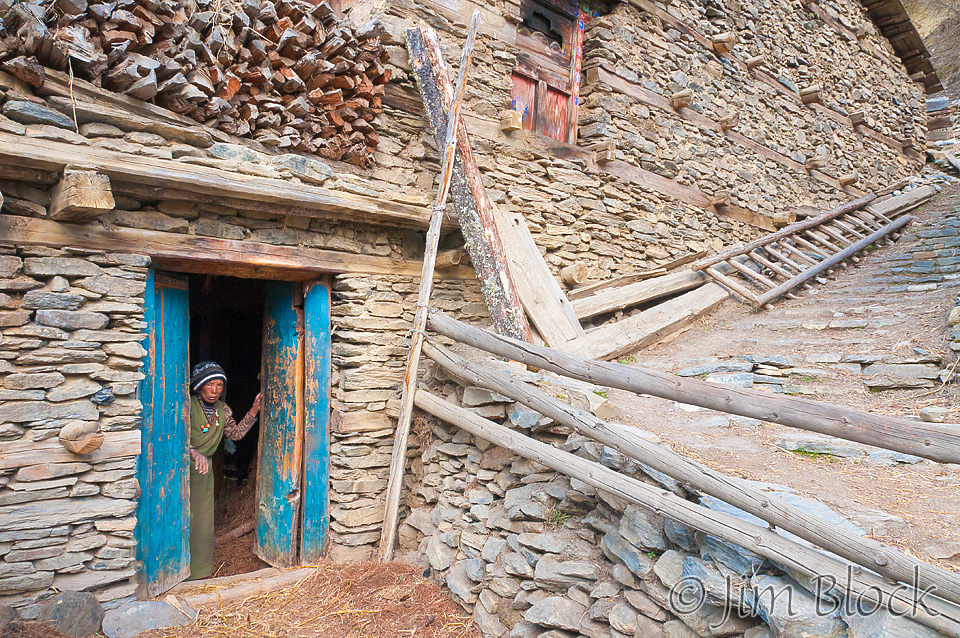
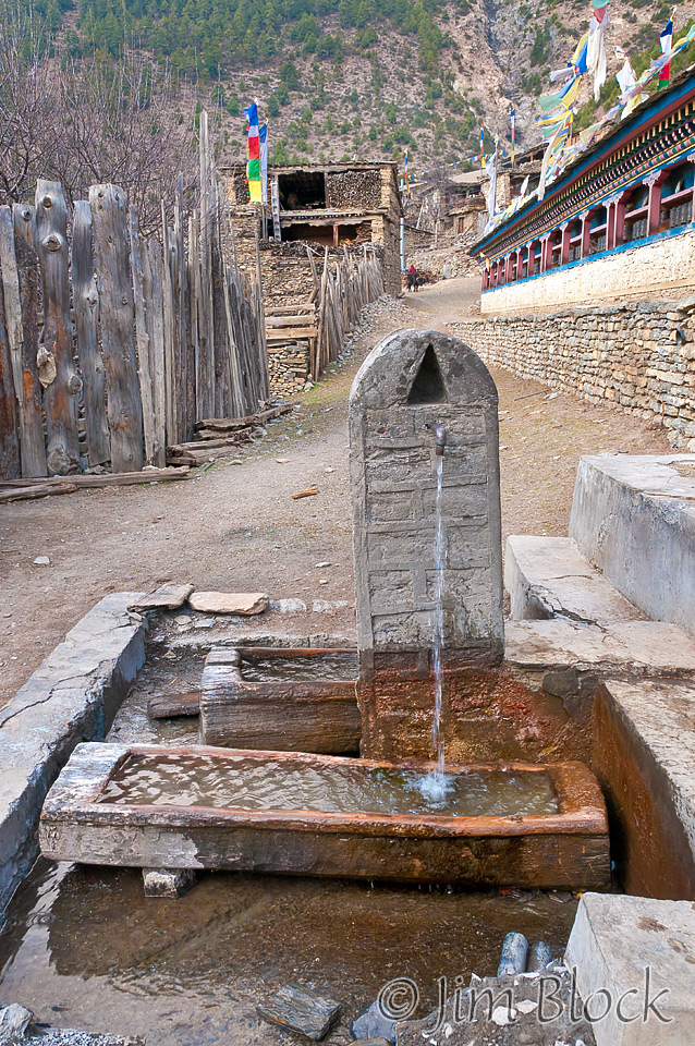
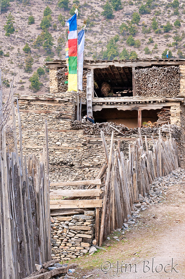
Upper Pisang is a medieval village with few real streets between the buildings. The people who live here and in Lower Pisang are of Tibetan origin, migrating many centuries ago. The village had a long mani wall. The gompa near the top of the village was new and beautiful. The village looked deserted. Below is a photo of the only resident I recall seeing.
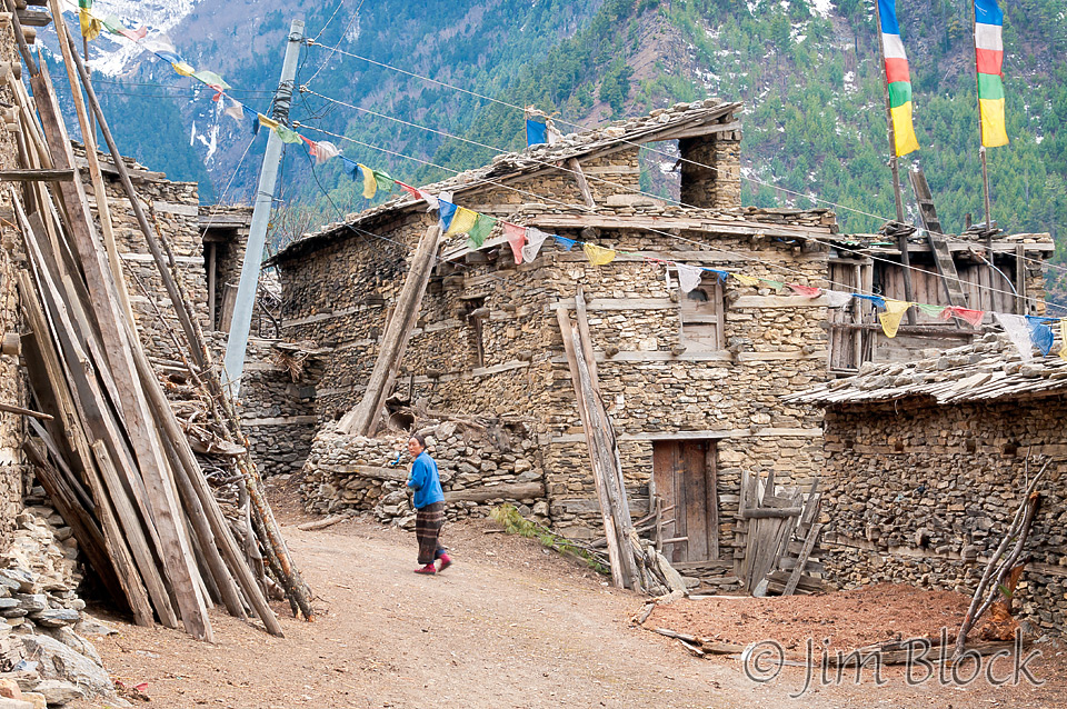
I made the seven-photo panorama below from near the gonpa in Upper Pisang. You can click this image to get to a site where you can zoom way in then pan around. When you get there, click the double arrow above the image on the right to see it full frame. Please wait for the resolution to download. You can use the + and – keys to zoom and the arrow keys to scroll. Or use the scroll wheel to zoom and the left mouse to drag.
You can see the roofs for the upper village and beyond them the Marsyangdi River and the village of Lower Pisang. Our lodge is the highest on the hill above the village. It has a very long stairway up to it. The fields with brown dots are waiting to be planted with potatoes. The brown dots are piles of fertilizer, no doubt yak dung.
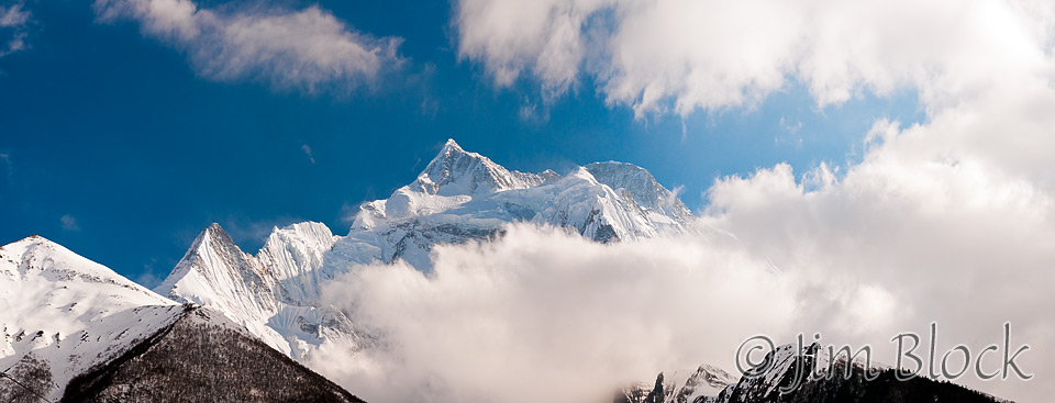
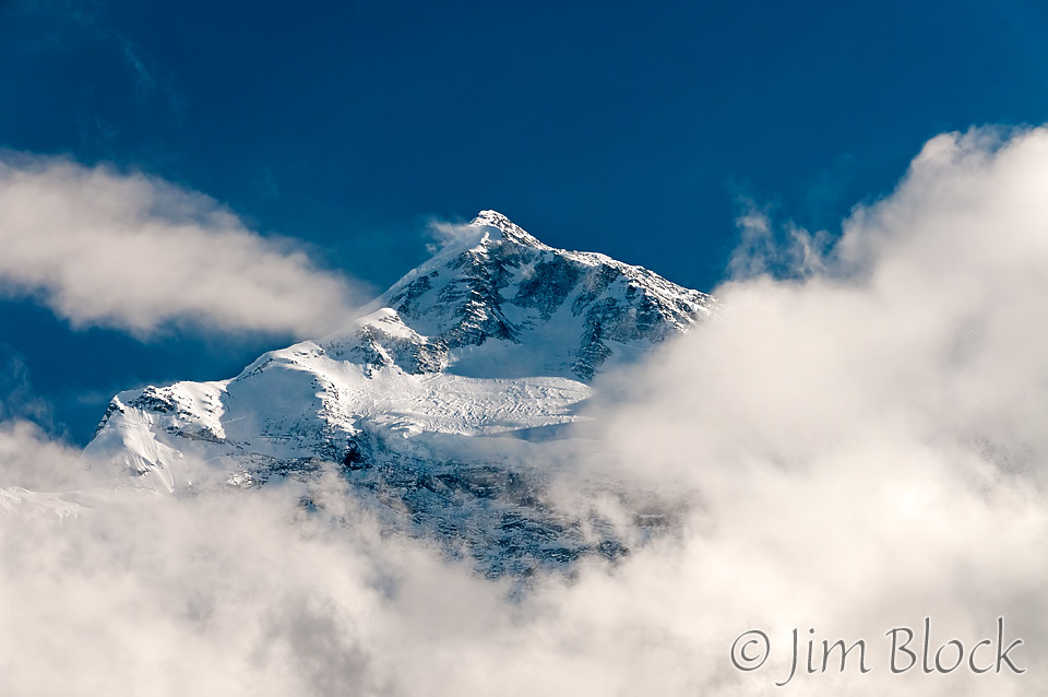
Before we finished our tour of Upper Pisang, Annapurna II was still visible through the low clouds. The whole experience in Upper Pisang was very moving.
Our lodge had a steel “bukhāri” stove. The dining room was crowded, especially near the stove. Carolyn was knitting, as she did often, and Lisa was writing in a large journal. Lisa also sketches at lunch and other opportunities. In my notebook I wrote, “So far it has been a great trek. Little sickness. Compatible group. Good sherpas and porters. Great weather. No laggards or whiners.”
I started taking half pills of Dimox (for altitude) this evening, though I was not sure I really needed them. But better safe than sorry, as we learned a few days later — altitude sickness can strike even the fittest.
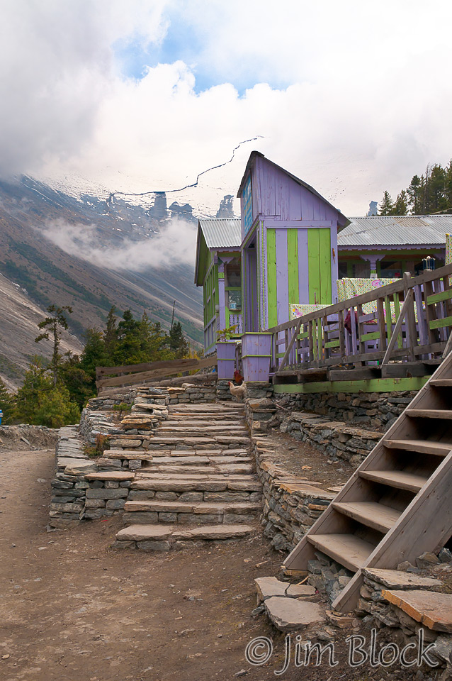
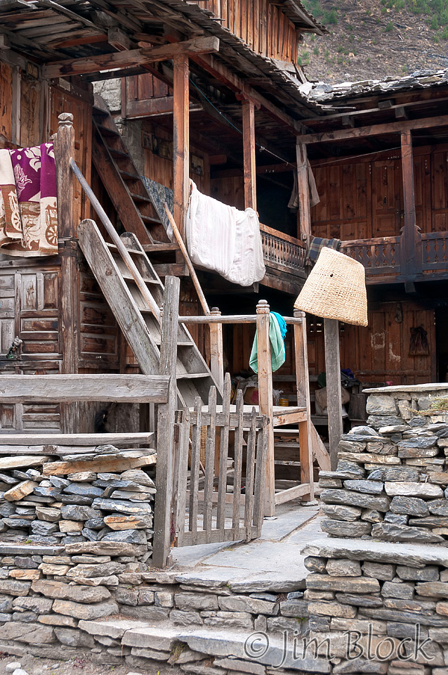
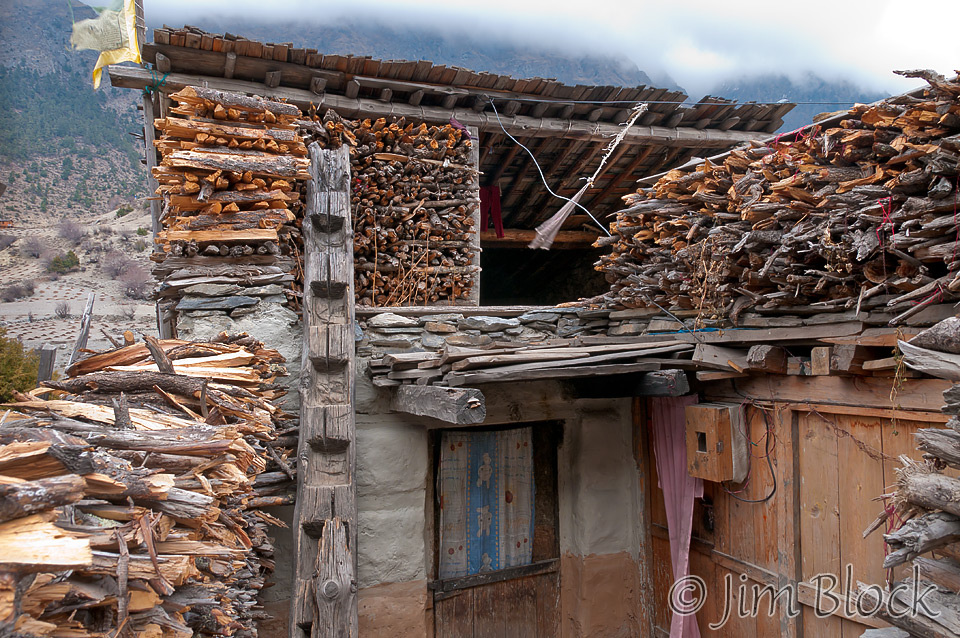
The slide show below takes you through the day from Chame, past some dramatic scenes, to Upper Pisang and its colorful gonpa, and finally to our lodge.

