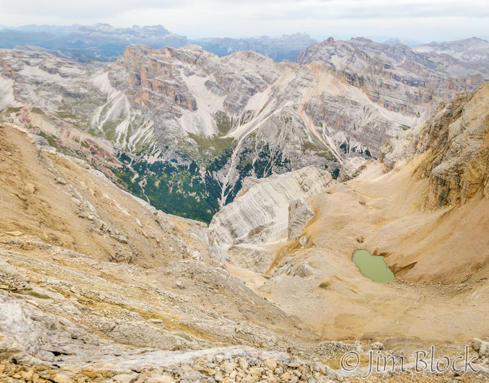
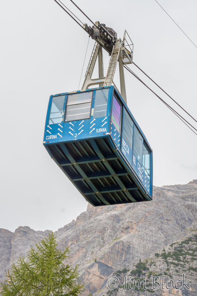
We traveled to the top of Tofana di Mezzo, at over 10,000 feet, during our first full day in Cortina.
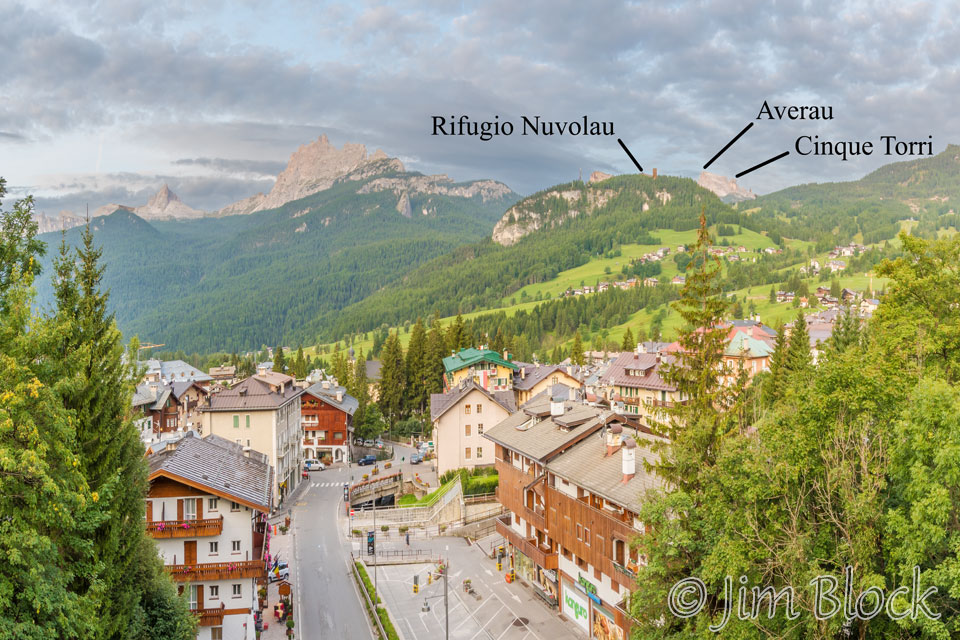
I awoke early and hiked uphill to get some overview photos of Cortina before breakfast. Here is the first 6-photo panorama I made. Later this morning we would ascend Tofana by gondola and foot, and in a week we would be hiking through some of the other mountains and passes seen in the background.

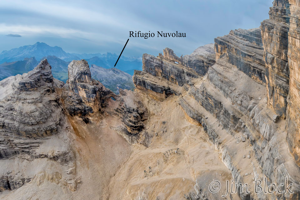
Below is a cropped version of that panorama where you can just barely see the amazing Rifugio Nuvolau that we would hike to in a lightning storm late in the afternoon in a bit less than a week. Nuvolau is not that strange rectangular tower on the nearby hill; it is as far away as Mount Averau.
Below is a 14-photo panorama.

Here is a cropped version of the above panorama which better shows Tofane. The range is called Tofane and the three peaks, left to right, are Tofana di Rozes (10,581 ft), Tofana di Mezzo (10,643 ft), and Tofana di Dentro (10,623 ft).
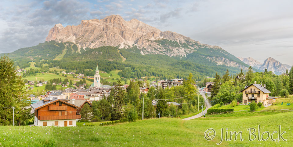
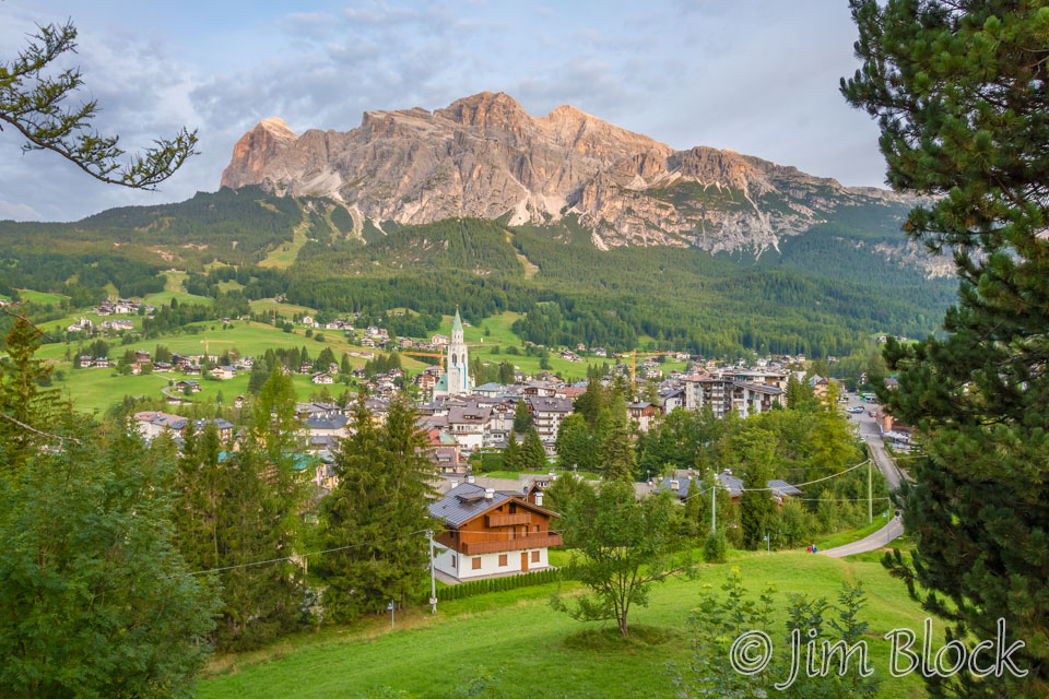
A bit before 7 AM I got the photo below of Cortina with Tofane and sky slopes in the background.
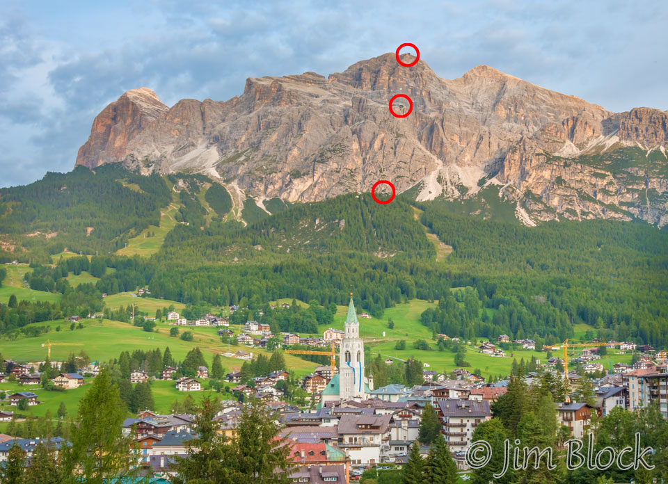
Here is another photo where I have circled the three gondola stations up Tofana di Mezzo. The base station is not seen in this photo; it is off to the right. We would be at each station in a few hours.
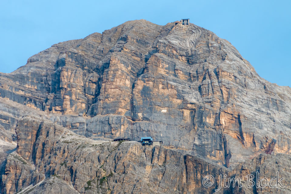
Here is a zoomed-in photo of the two highest gondola stations on Tofana di Mezzo. These must have been challenging to build, especially the top one.
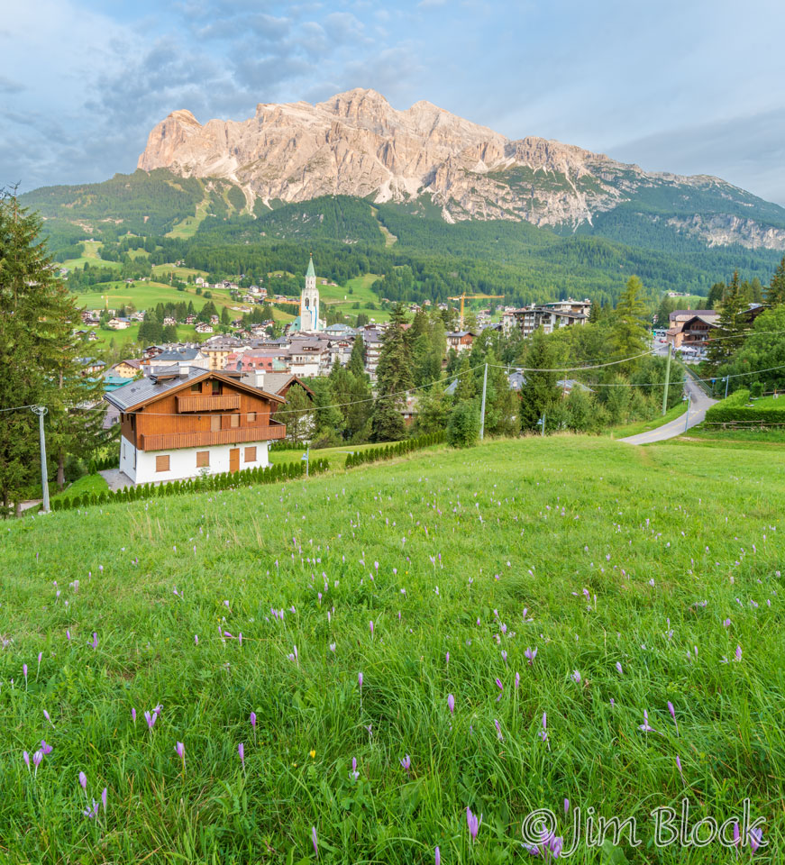
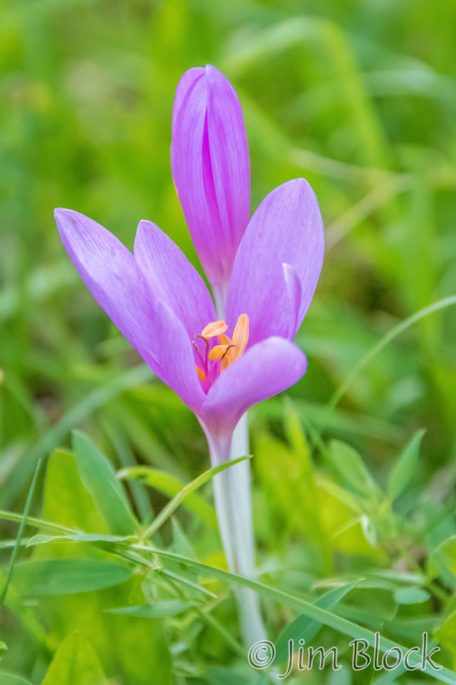
The field where I was walking was filled with many interesting wildflowers. Here’s an overview and a close-up of one of the flowers.
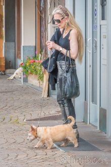
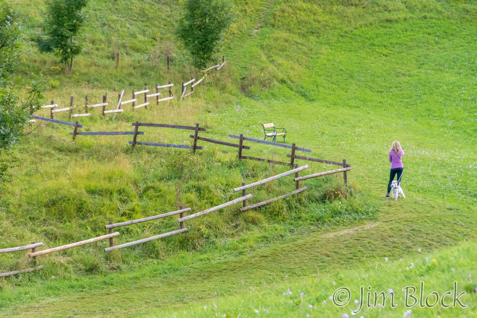
A woman was walking her dog near a wonderful zigzag fence.
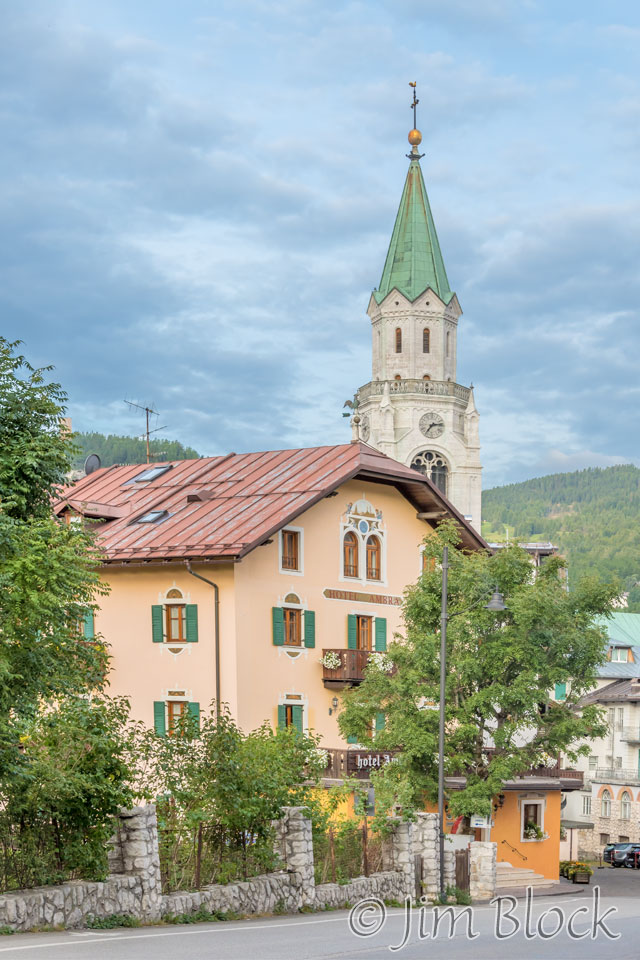
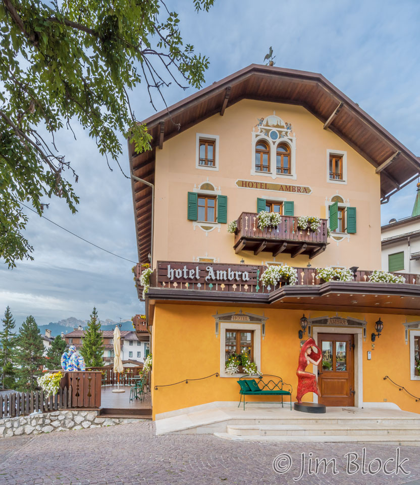
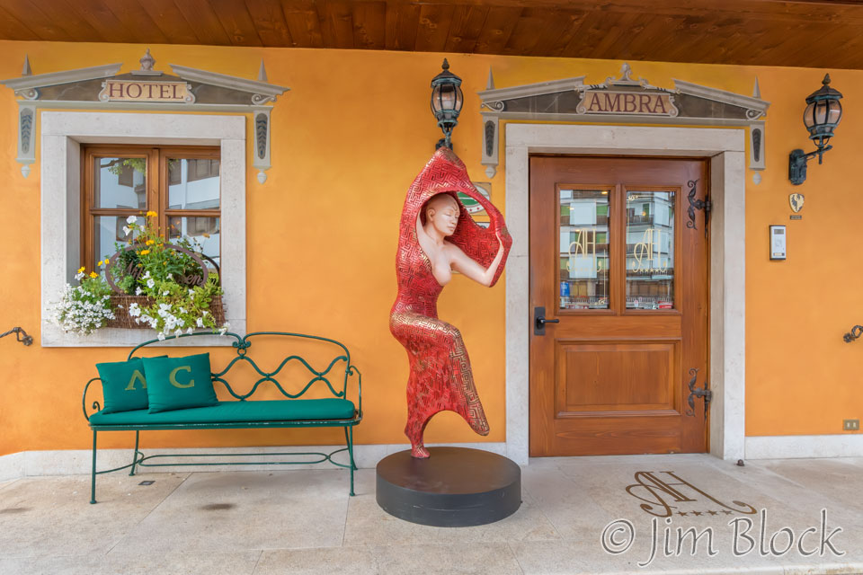
Heading back to Hotel Ambra for breakfast, I took these three photos of it.
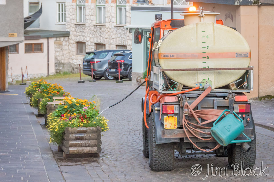
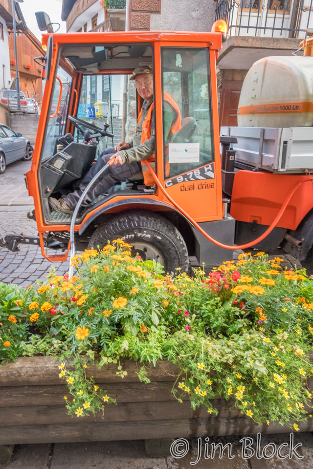
There was a watering truck moving down the street making sure the plants in the containers were well hydrated.
Our 7:30 AM breakfast was wonderful. The food was plentiful and delicious, and Stephen and I enjoyed chatting with others in the dining room. (Jim was sleeping in.) One group was doing some serious via ferrata, while another couple was enjoying a rest day in Cortina before resuming the AV1 hike. I’m glad Jim and Stephen planned our trip to have our “rest day” in Cortina at the start rather than in the middle of the hike.
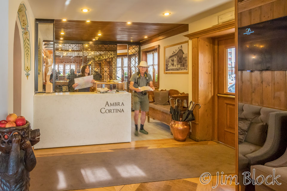
I must have been enjoying the breakfast too much because I did not return home with any photos taken during breakfast. After breakfast I got this pair of photos in the lobby. Stephen was getting advice on the best gondola to take up a mountain.
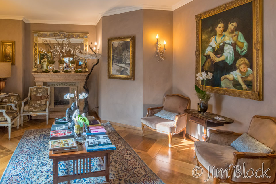
We had some time before we walked over to the gondola terminal because Jim had not yet arrived for breakfast. So I wandered down to la Cooperativa and made some photos of this amazing store. It has “everything“. And an upscale version of everything at that.
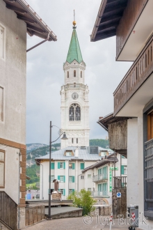
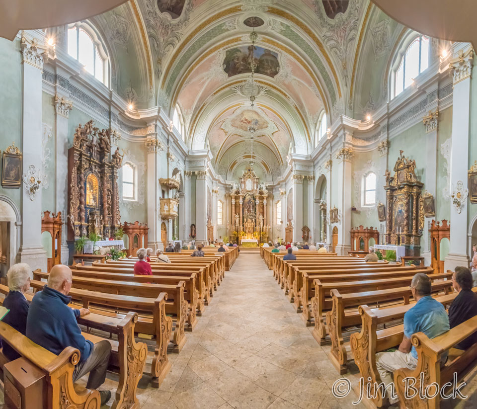
I stopped briefly at the Basilica Minore dei Santi Filippo e Giacomo church and made this 4-photo panorama.
We met up with Jim around 9 AM and headed north toward the gondola station. Here are a few photos I took en route.
We got to the gondola base station and each paid our €30 (a bit less than $40) for the ride up all three stages and also return trips to the base station. In what follows I refer to the station at the end of the first gondola ride as station one, the second gondola took us to station two, and the final station is station three. From there we walked higher, as you will see if you continue reading and viewing these photos.
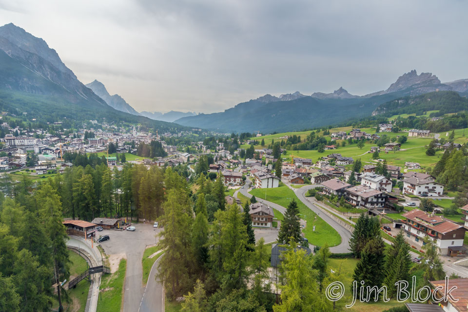
Below is a view out of the window of the gondola as it began ascending. In the left corner you can see a bobsled run, left over from the 1956 Olympics, curving into the woods. The town of Cortina is in the center left. The jagged peaks on the right side are Croda da Lago.
Below left is a photo taken as we approached the first station. You can see another gondola car coming back toward us. Below right is a view from the first station looking back down toward Cortina.
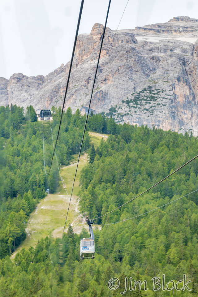
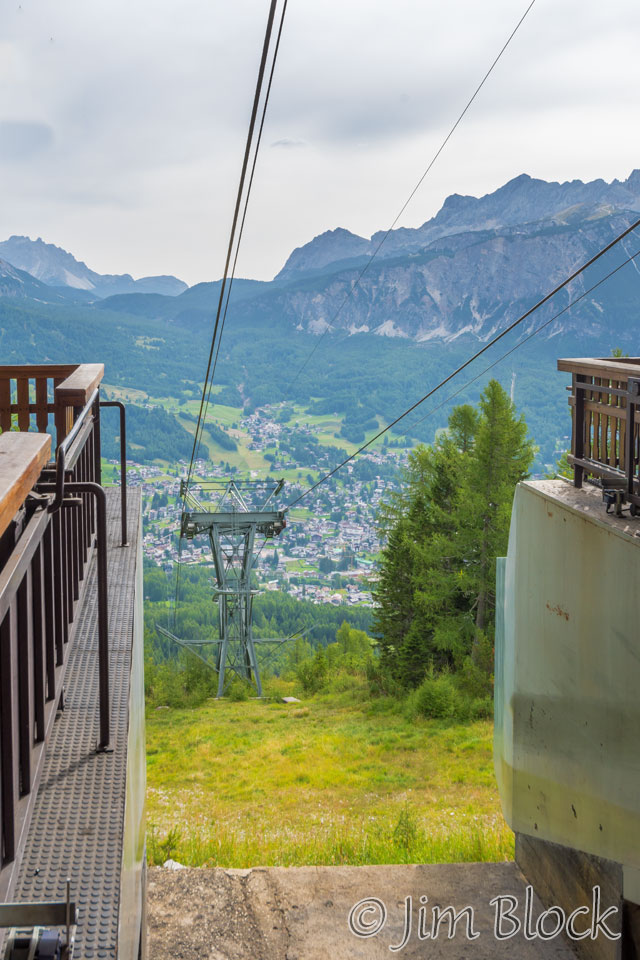
The two photos below were shot through the window of the second gondola as we are headed up to the second station. In the photo on the left you can see the third station just above the second one. On the right is a closer view of the second station.
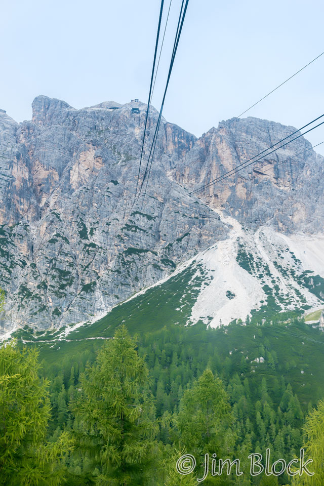
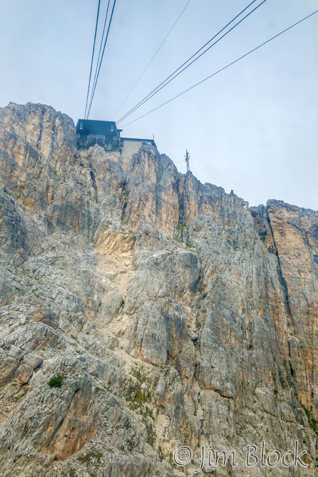
Below left is a photo taken as we approached the second station. The photo below right was taken from inside the second station looking back at the first station which can be seen above the pond near the end of the S-curve road. Cortina is in the center of the image.
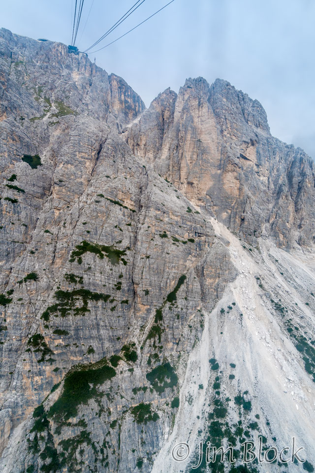
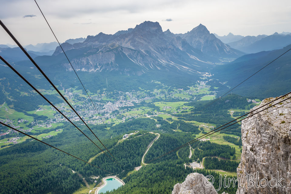
The two photos below were taken from the gondola as we rode to the third station. The photo on the left looks north and the photo on the right looks south.
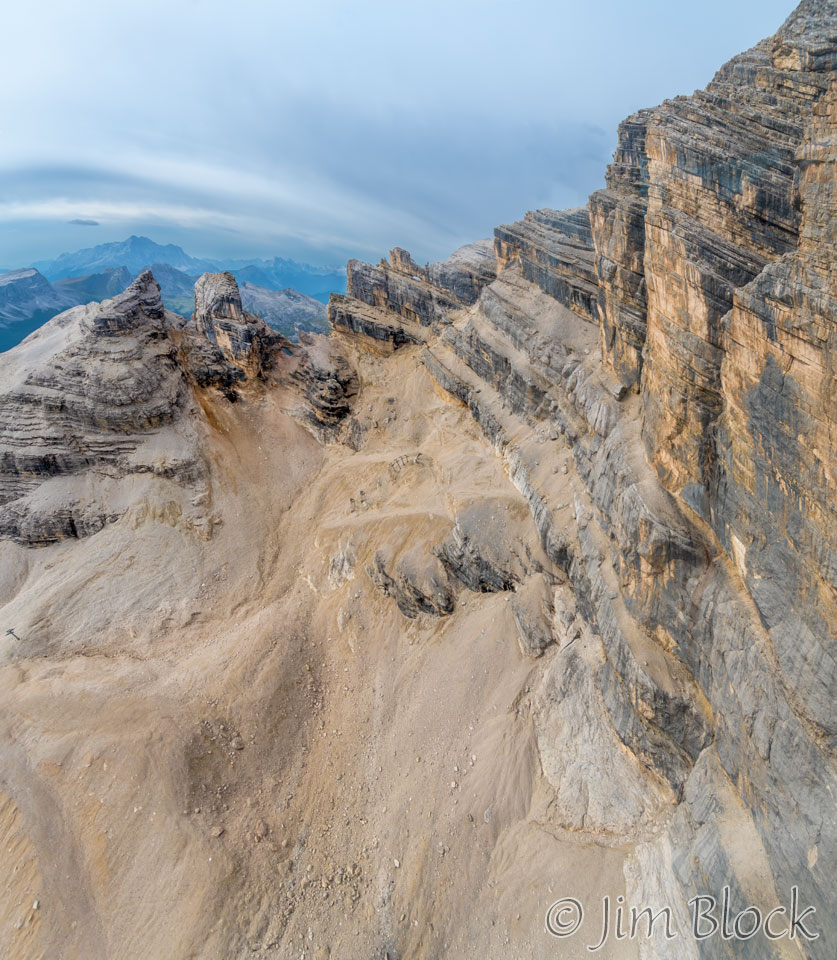
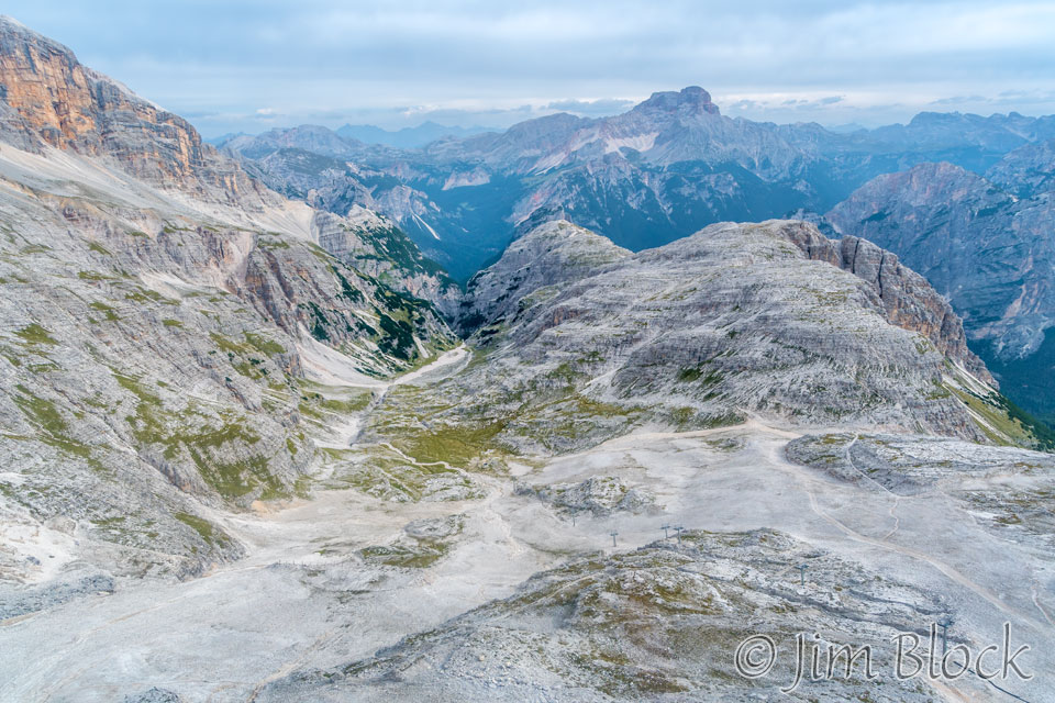
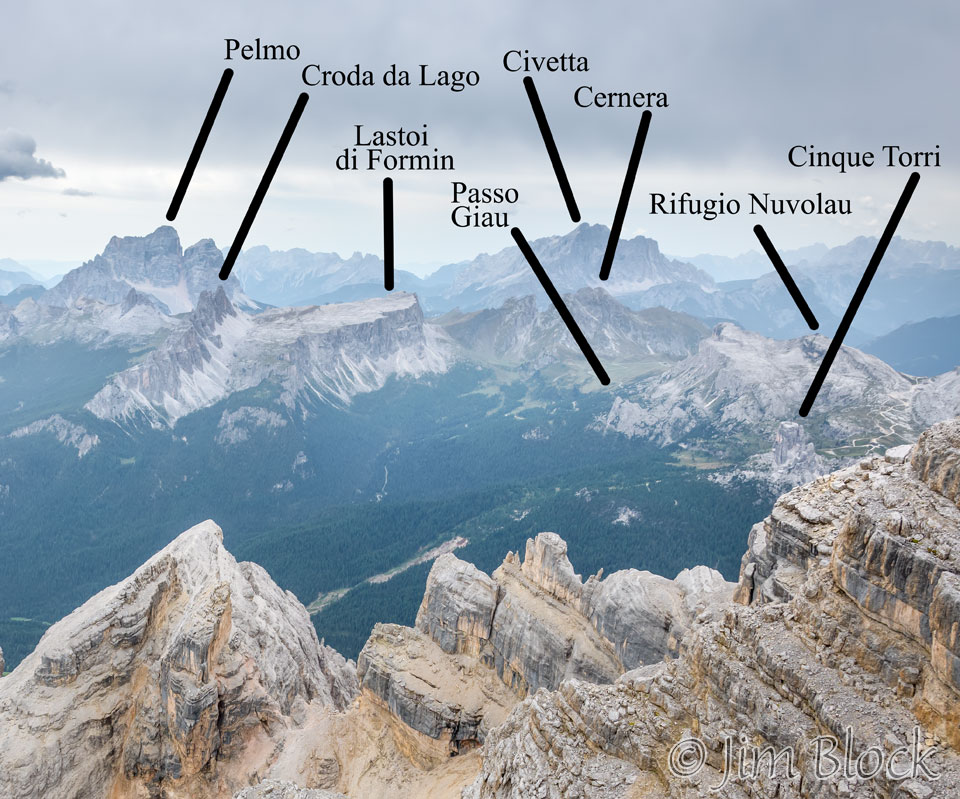
The photo below looking south shows the location of Rifugio Nuvolau where we would stay in six days. At the top left of this photo is the huge Civetta massif, which we would walk around the day after we left Nuvolau.
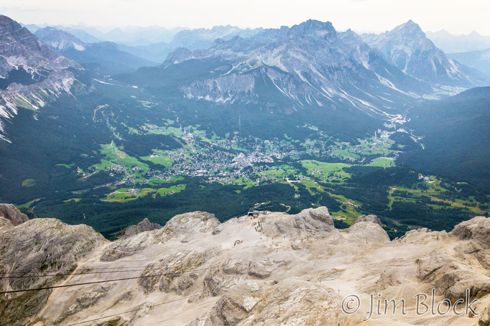
The photo below was taken with my iPhone as the gondola approached the third station. Near the center you can see both the second station and, in the woods at the end of the S-road, the first station.
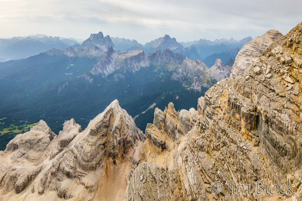
As we approached the third station I made a 2-photo panorama with my iPhone looking south. It shows many of the features we would be visiting in a week.
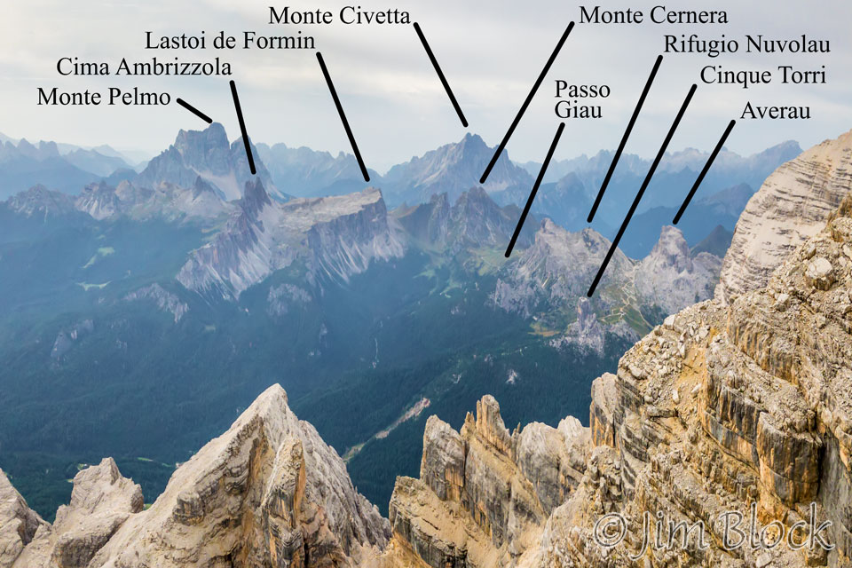
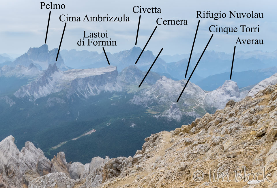
Below is a cropped version of the image above with the features labeled. We would walk around Cinque Torri, then climb to Rifugio Nuvolau during a scary late afternoon lightning storm. The next morning there were about 6 inches of snow on the ground. We hiked back down almost to Cinque Torri and then headed southeast to Passo Giau passing to the north Cernera and to the south of the Lastoi de Formin massif and Cima Ambrizzola.
We then stayed overnight at Rifugio Citta di Fiume near the base of Pelmo. The next day we hiked across a forcella on the north shoulder of Civetta before hiking the west side of the Civetta massive the remainder of the day. Just out of view to the right is my favorite hut of the trek, Rifugio Lagazuoi. It was the highest point of the trek. It is situated in an amazing spot with great views in many directions.
Before we reached the third station I made the 5-photo panorama below. You can see Cortina in the left center. At the far right in the background you might be able to make out Cinque Torri and the peak where Rifugio Nuvolau is situated. Above them and a little to the left in the far back is Civetta.
We exited the gondola at the third station and immediately began walking up a series of metal stairs. You can see Jim ahead of me and Stephen back a bit to my right. Notice the amazing limestone that makes up the Dolomites.
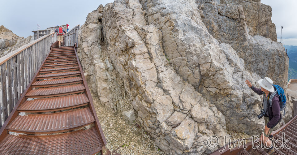
We climbed well above the third station. The geology up there was very interesting.
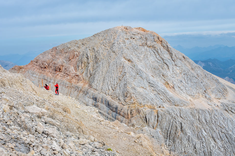
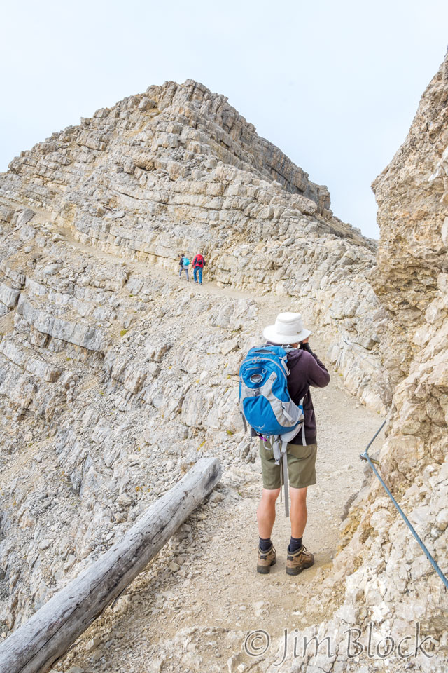
We reached a section which had a cable attached to the mountain to help us stay on the correct side of the path. Note there was a very severe drop off to the left.
Jim seems more sensitive to “exposure” than Stephen and I, so he stayed behind and didn’t walk any higher than the beginning of the via ferrata section. This obviously makes him the most sensible of the three of us.
Over the next 30 minutes Stephen and I did some of the more dangerous climbing of our whole trip, and we were only in our first full day.
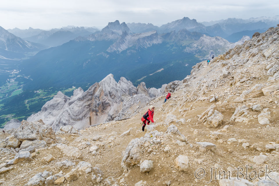
The two photos below show us scrambling up a steep slope filled with loose rocks and pebbles. A slip here could have been disastrous, because behind us, just over a very short bit of the path, was a steep drop off.
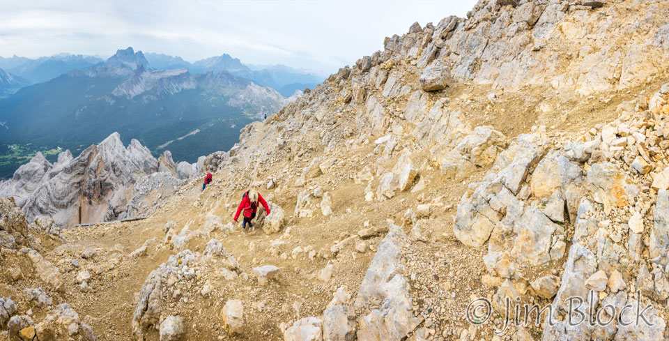
Part way up this slope I took the photo below looking back. You can see that little piece of wood on the other side of the path would do little to retard a bad fall. In the distance can be seen, left to right, Croda da Lago, Lastoi de Formin, Civetta in the background, and Nuvolau and Cinque Torri above the two people at the far end of the nearby path.
The 6-photo panorama below shows much of the same scene but with more of the crumbly path we were scrambling up.
Stephen and I kept working our way higher. At the top we met a tour guide from Israel who was on a “busman’s holiday”. He specialized in taking Christian groups to different places around the world, if I recall correctly, but was not leading a tour in Italy.
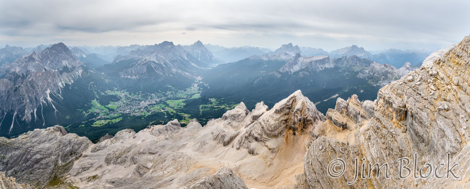
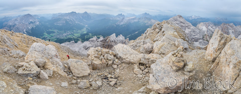
Here are 4 and 5-photo panoramas taken from the top of Tofana di Mezzo looking down at the area we scrambled up. Cortina is in the background.
Below is an 8-photo panorama taken from near the top of Tofana di Mezzo.
Here are some photos of folks carefully scrambling down that steep and slippery slope. You might be able to see the drop off beyond that post and log at the base of the trail. Not sure what good they would do if somebody started really sliding. Probably the log is just to keep the trail reasonably intact.
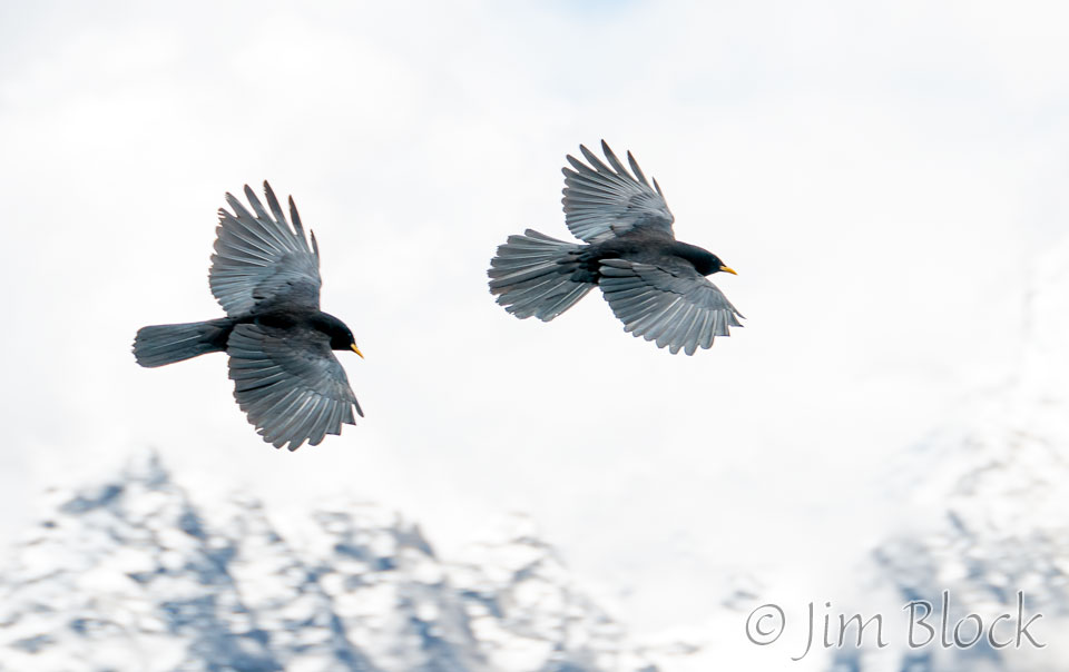
There were some crow-like birds that didn’t sound at all like crows. It turned out they are Alpine choughs. According to Wikipedia, “the Alpine chough, or yellow-billed chough (Pyrrhocorax graculus), is a bird in the crow family, one of only two species in the genus Pyrrhocorax. Its two subspecies breed in high mountains from Spain eastwards through southern Europe and to Central Asia and Nepal, and it may nest at a higher altitude than any other bird. The eggs have adaptations to the thin atmosphere that improve oxygen take-up and reduce water loss.”
It is a good thing the Wikipedia article said “may nest …”, since the clough is possibly surpassed by another bird, the white-winged diuca-finch, discovered nesting on a glacier in Peru by a friend and his young son (who is THE expert birder in the family). This finch nests at almost 19,000 feet.
Which species nests higher is in doubt. I photographed the yellow-billed choughs seen below above the Renjo La pass at 17,585 feet in Nepal.
Here is a 13-photo, 360-plus-degree panorama from the top of Tofana. Near the center of the image you might be able to spot a greenish lake which I will discuss shortly.

From the top of Tofana we could see Rifugio Nuvolau and Cinque Torri, although we certainly didn’t know what we were seeing at the time. We would visit those spots in about a week. Below is a 2-photo panorama from the top of Tofana.
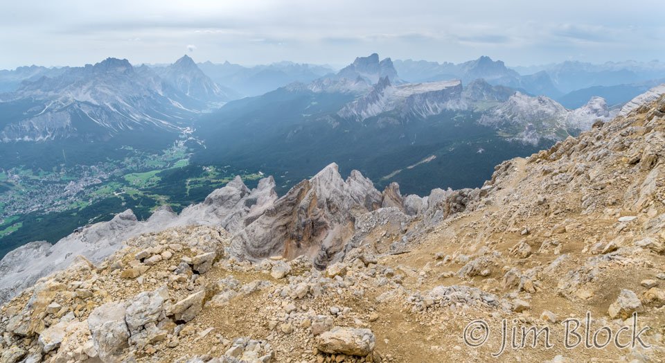
Here is a cropped version of that panorama showing the features we would explore during the middle part of our Alta Via Uno hike.
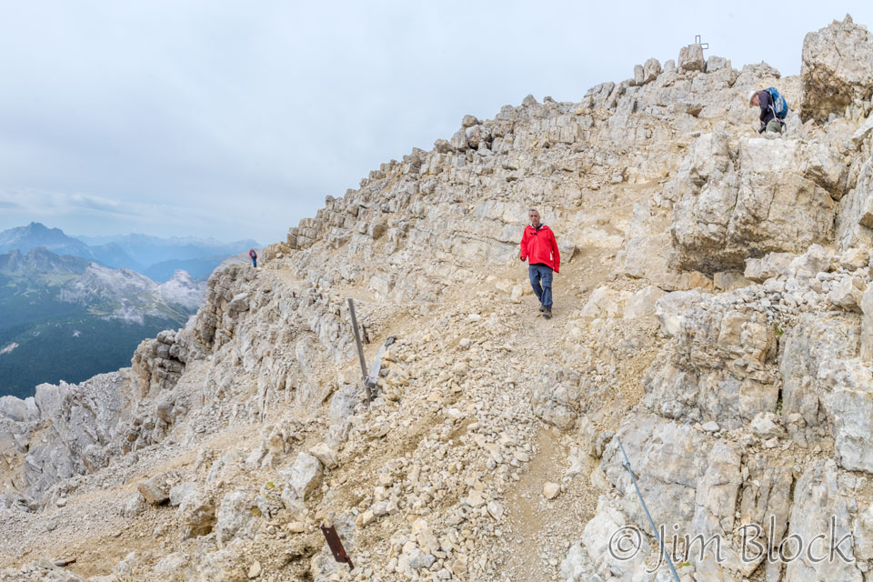
I carefully worked my way down the rocky slope followed by the Israeli tour guide and Stephen.
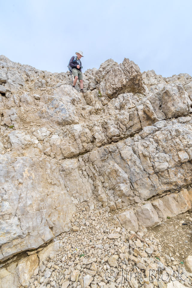
From this spot I got a look down at the third gondola station and the deck next to it.
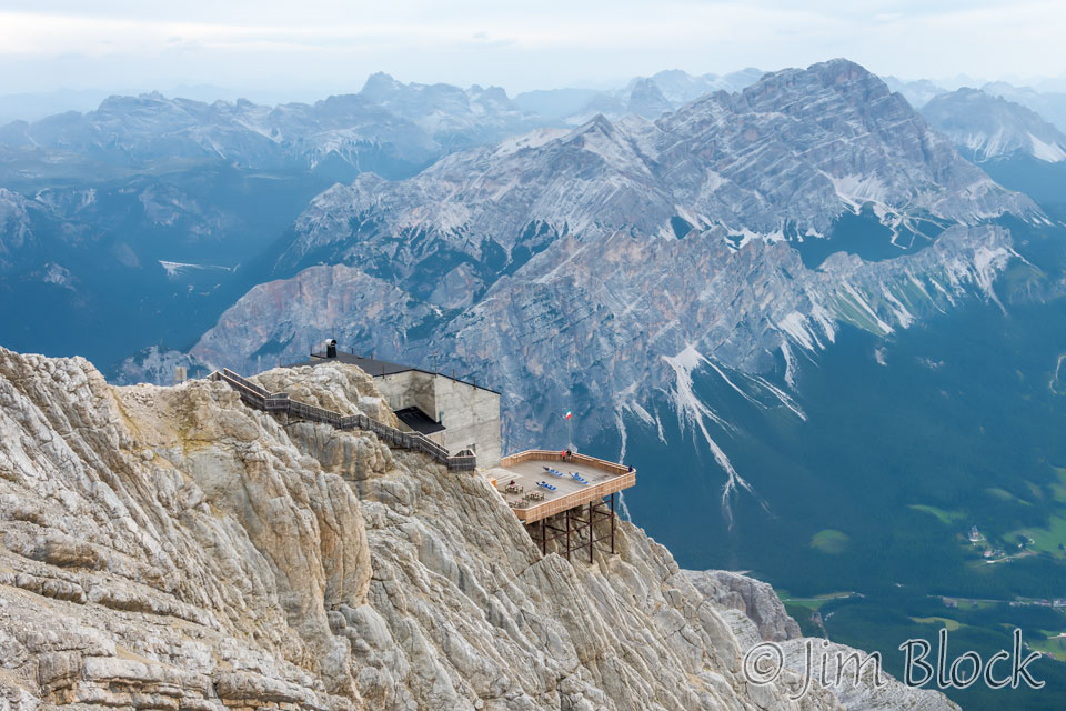
Below is a 180°, 8-photo panorama I took from near that treacherous spot.

Below are cropped versions of the left and right portions of the above panorama.
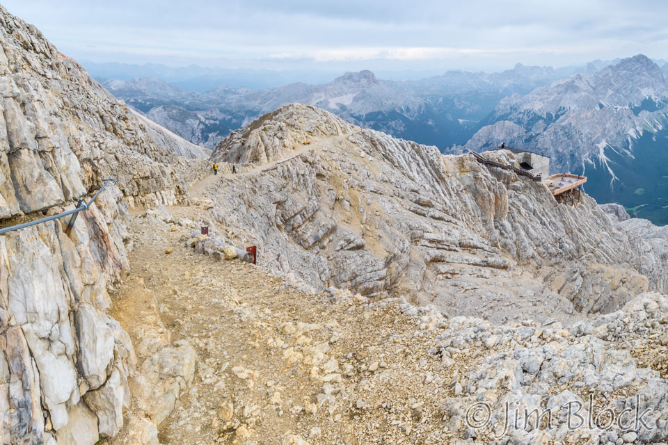
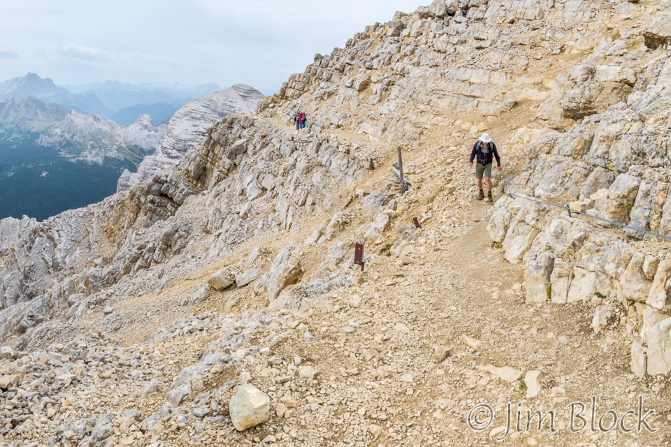
Here is a 180° 13-photo panorama from a similar spot. It is followed by two cropped versions of the panorama. In the third photo you can probably pick out some of the features that were labeled in the previous images.

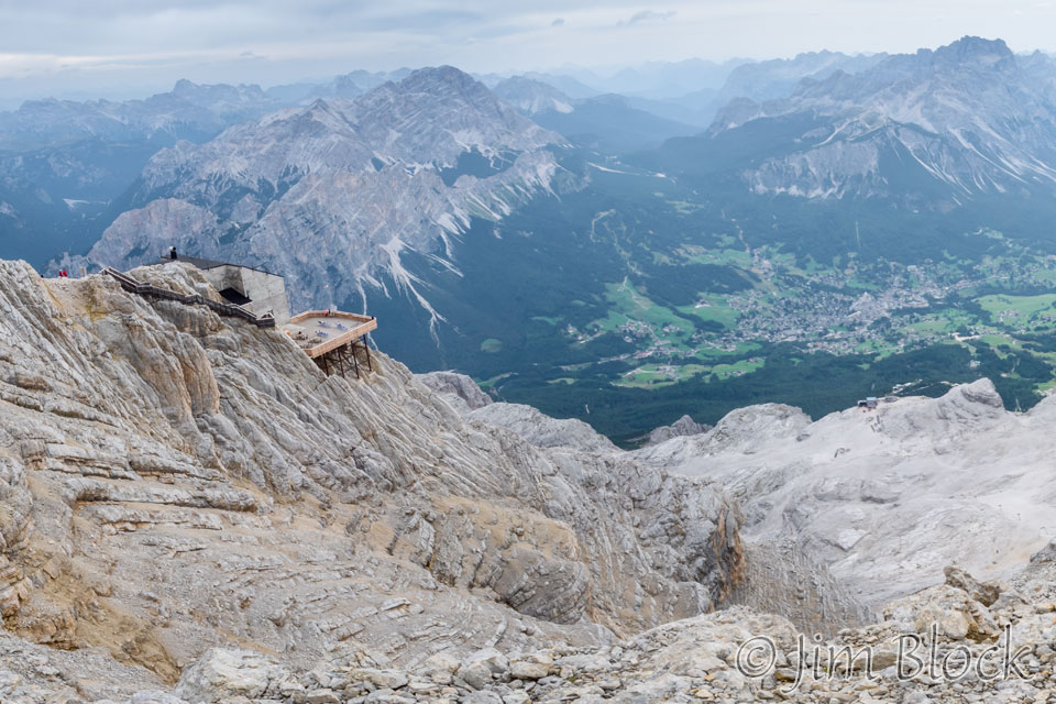
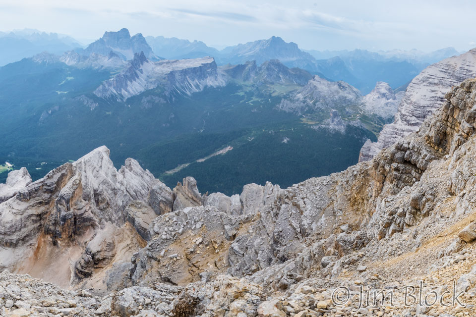
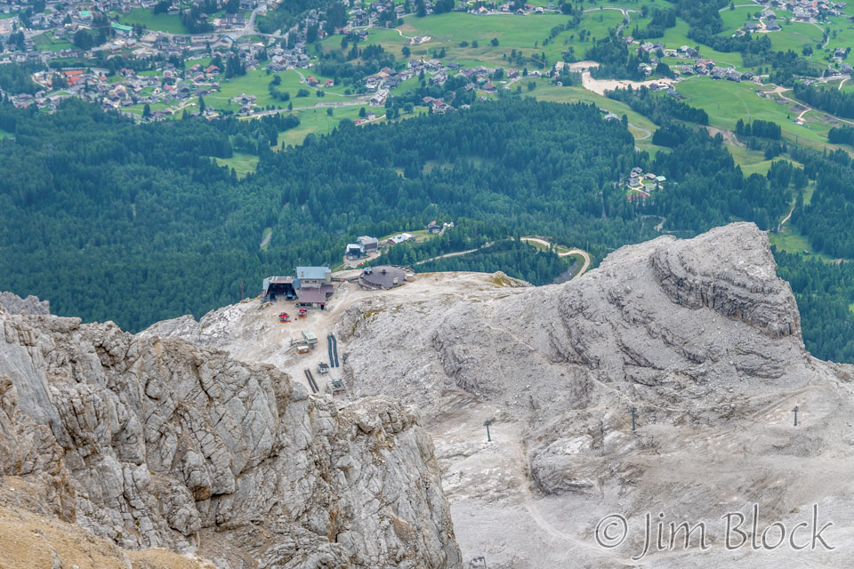
From near the same spot I got a photo looking down at the second and first gondola stations.
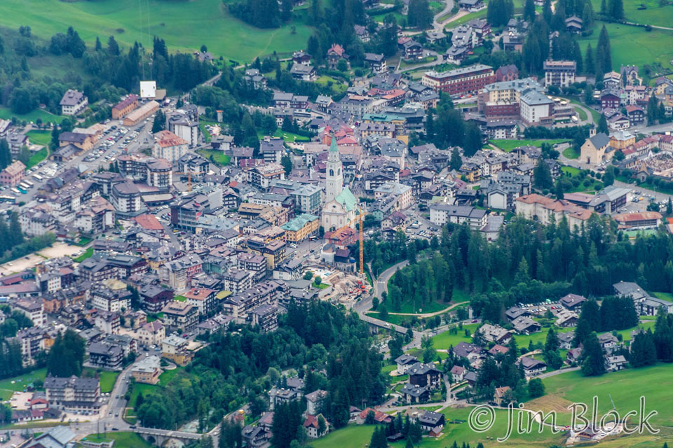
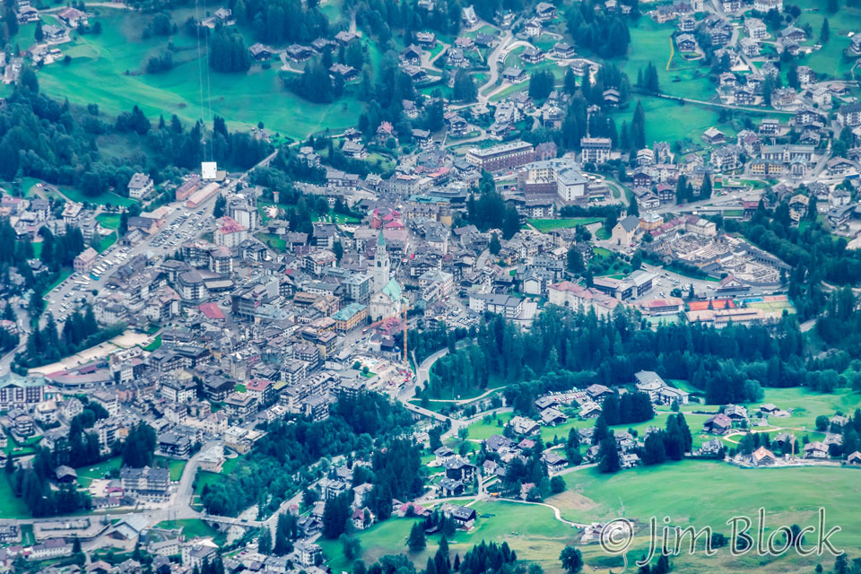
From a similar spot I zoomed into the village of Cortina.
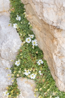
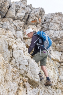
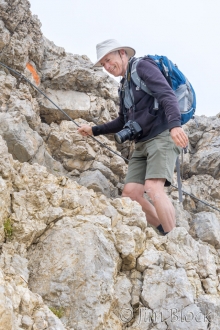
We found some wildflowers in the rocks very near another short but steep via ferrata section with hooks and bolts in the rocks as well as a cable to hang onto. Here is Stephen carefully ascending.
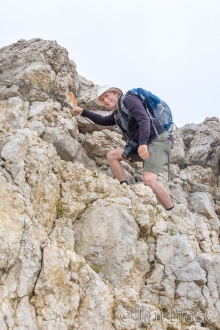
Stephen is almost at the top in the photo below.
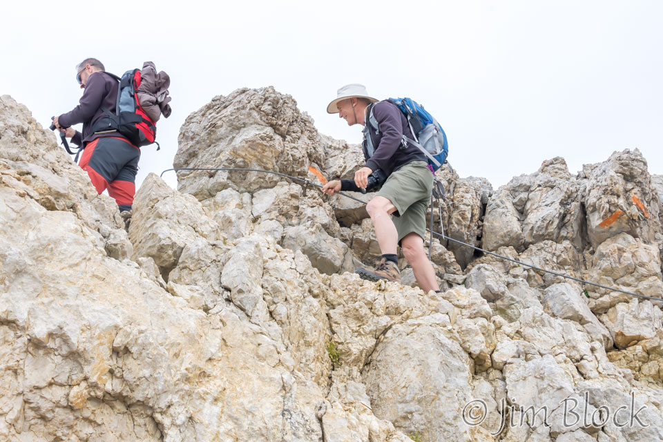
Below is a somewhat distorted 6-photo panorama showing the short but steep via ferrata route up. You can see a hook and perhaps a couple of the spikes as well as the cable. This route was actually the beginning of a very hairy via ferrata route that we chose not to take, only partly because we were certainly not equipped for it.
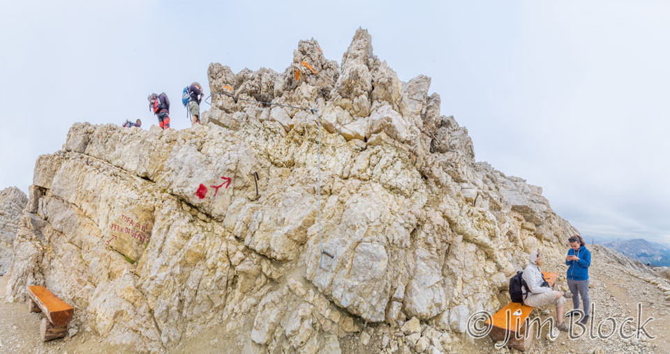
Here is a 10-photo panorama taken from the top of that short via ferrata section.

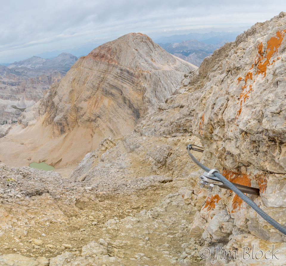
Below is a cropped version of that panorama which shows the via ferrata trail down to that amazing lake. You can see the cable at the beginning and then maybe see or imagine where the trail is as it goes down around the corner.
Being a lot more sensible than Stephen and I, Jim had chosen to wait for us at the beginning of the cabled section of the path to the top.
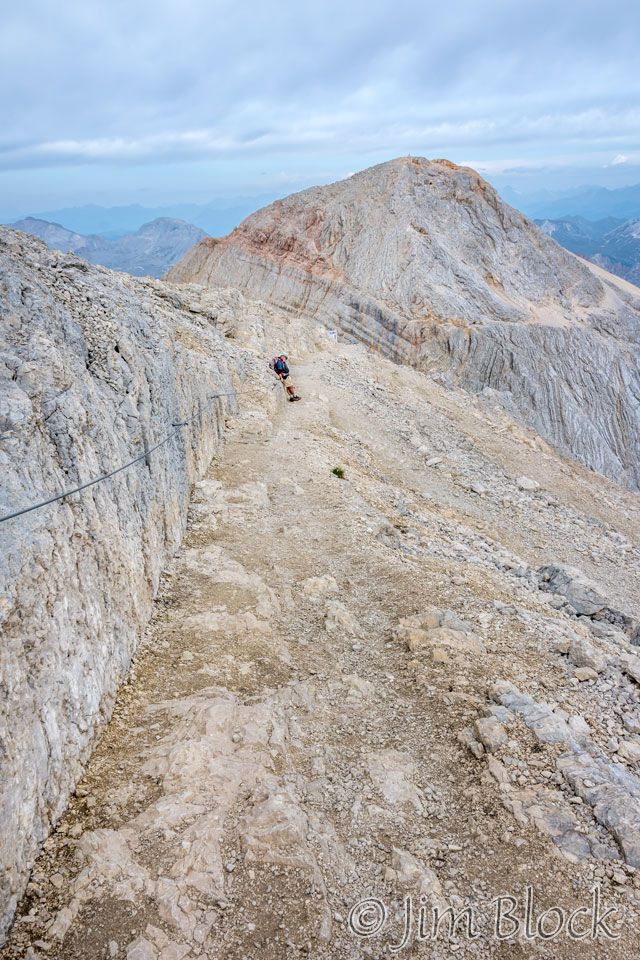
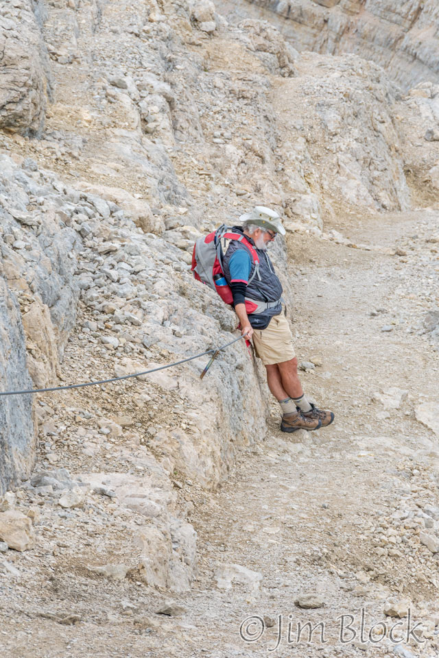
As we headed down, there were folks coming up to do some serious via ferrata.
We got to a spot we had bypassed on the way up.
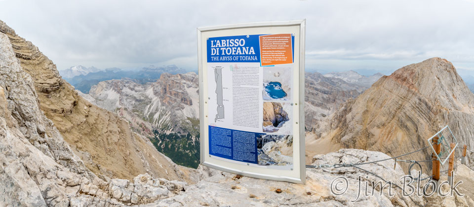
Below are four views of the Abyss of Tofana.
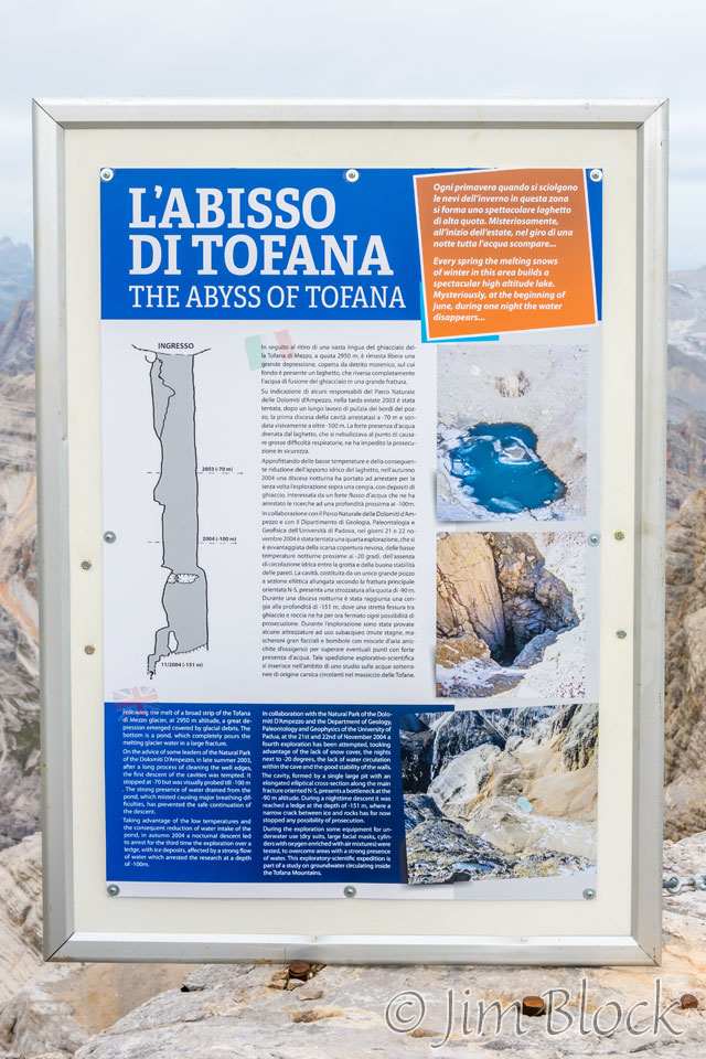
This abyss is described on the poster shown at the right. What you see in the photos above is a small lake surface that is the top of a very deep shaft (more than a 50-story building). The shaft is in gray on the poster at the right.
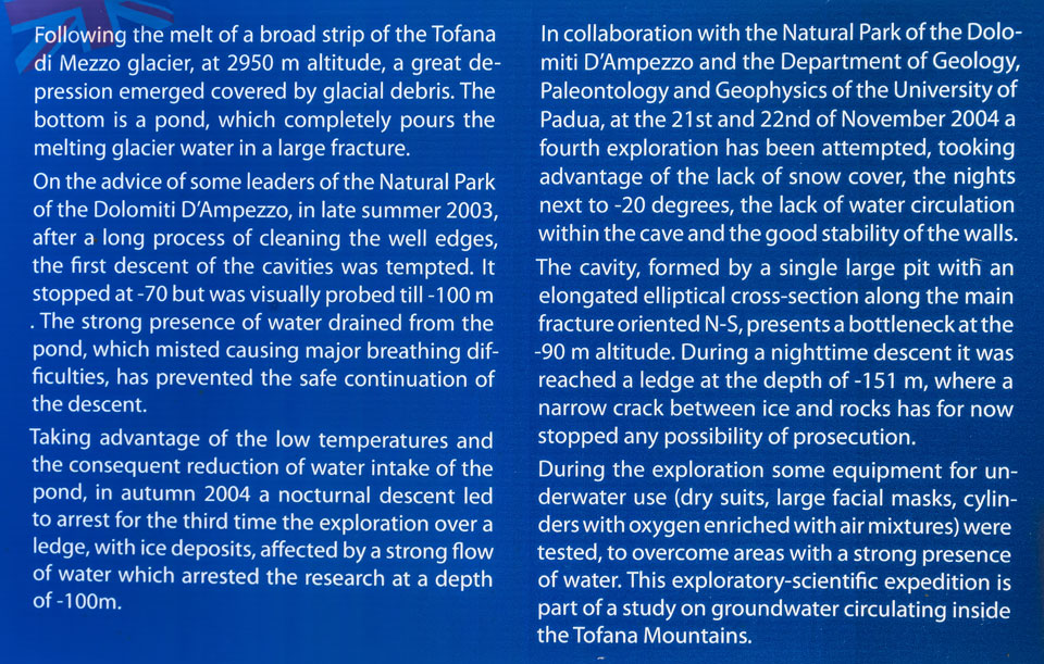
In 2003 and 2004 this shaft was probed to a depth of 151 meters by divers. They could not go any further because they were blocked at a narrow passage which they hope will open up in the future.
It is unknown how deep this shaft goes, but it is very interesting that the lake fills from melting snow and then suddenly, during a night each June, the water disappears. But it was back for us.
You can read about the exploration of this shaft in the description below taken from that poster.
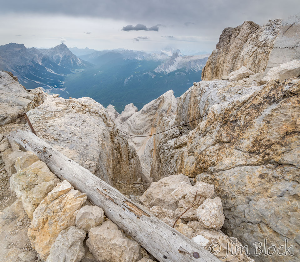
Just above the third gondola station I took this photo looking south. It shows an interesting deep ravine in the rocks. It appeared that the yellow-billed choughs may have been nesting in this area, though it was not nesting season.
Here are a pair of photos taken from about the same spot. The photo on the left looks south at some of the spots we will visit in a week or so. The mountain in the far background is Civetta. The iPhone photo on the right shows where we came from — the top of Tofana. You can see the many layers in this mountain.
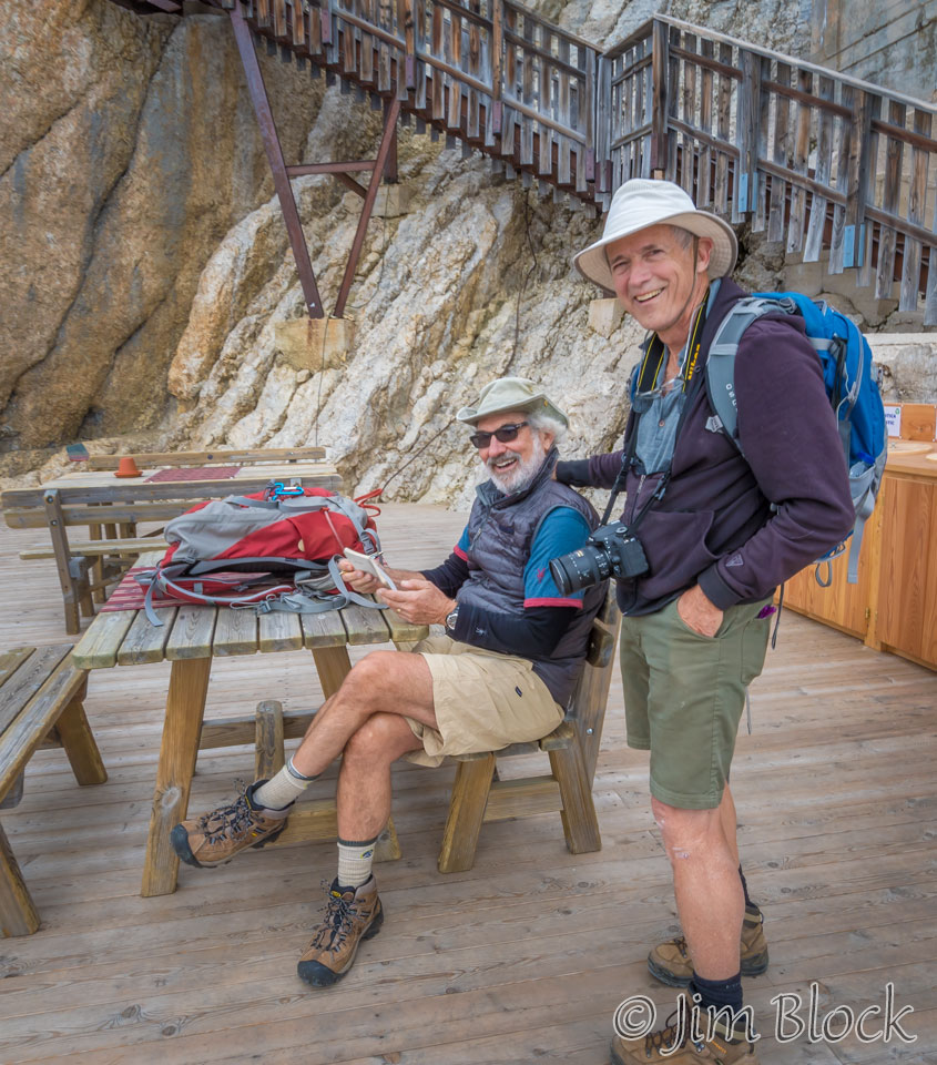
We met up with Jim on the deck of the third station. He was writing in his diary. My diary consisted of a tiny photo notebook which measures about 1” x 1 ½”. Weight was very important to me on this trip, although in retrospect I wish I would have taken a slightly larger photo notebook.
From the third stage we got some nice views.
Here is the view of the areas we would hike through in a week, taken from the third gondola station.
There was a poster of the area to which I added the routes we took through this area. The blue line is our gondola ride up to Tofana. The green path shows our hike during the first five days.
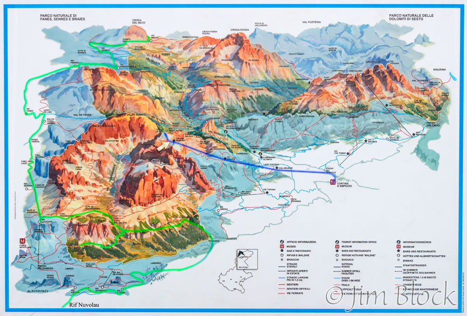
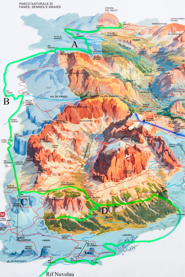
Here is a cropped version of the left side of that poster which shows our trekking route more clearly. Beyond the top edge of the poster was Lago di Braies where we started the trek. From this lake it was a long, steep climb to the forcella just below Croda del Becco. From there we hiked to Rifugio Sennes (A) the first day.
Our second day took us to Rifugio Fanes (B). From there it was a rainy day hike to the wonderful Rifugio Lagazuoi (C), the highest point of our trek.
We then went down through Rozes (D), made a correct turn to the right, but then got talked into backtracking and heading to Rifugio Nuvolau by a round-about route.
Below is a view looking down from the third gondola station.
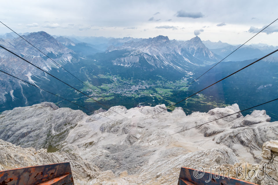
At the second gondola station we had a bit of time to inspect the mechanism and take some more photos.
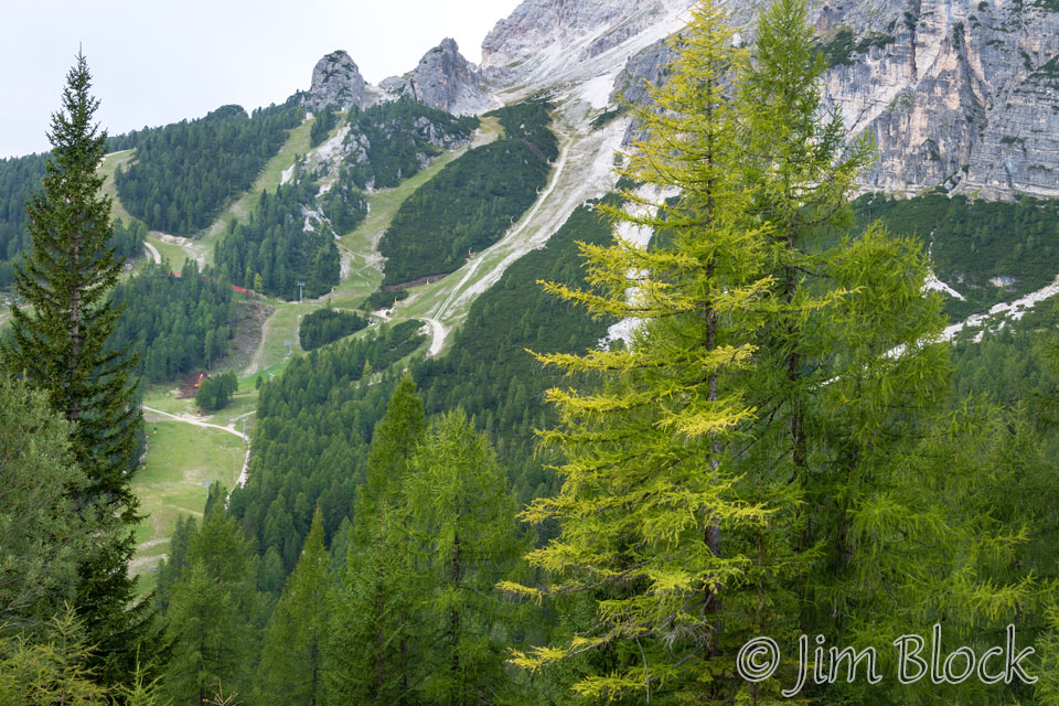
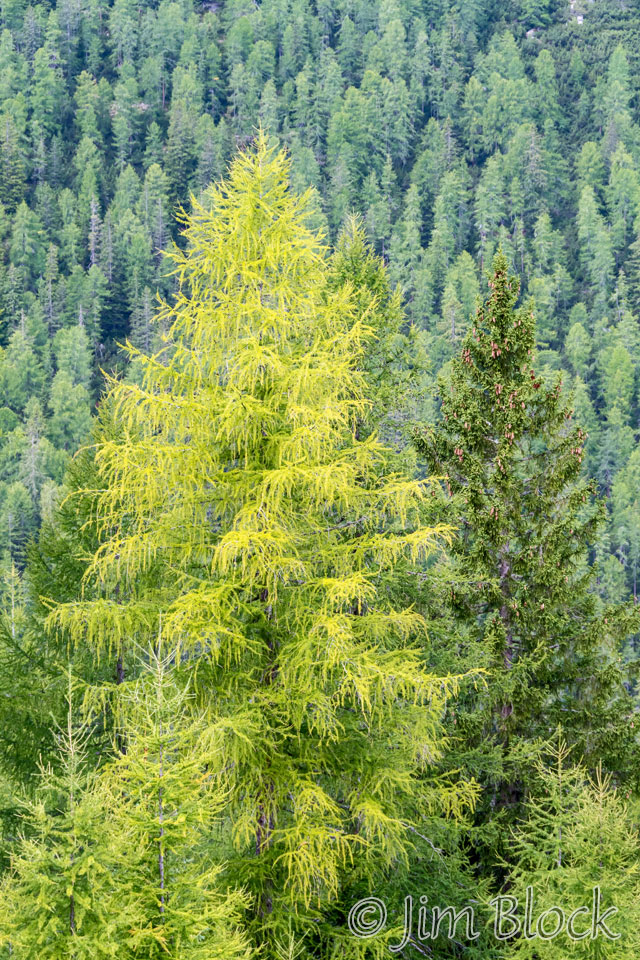
On our way down to the first gondola station, we had some nice views of the larch trees which were beginning to turn golden.
The first station had a rifugio. Here we are on the deck.
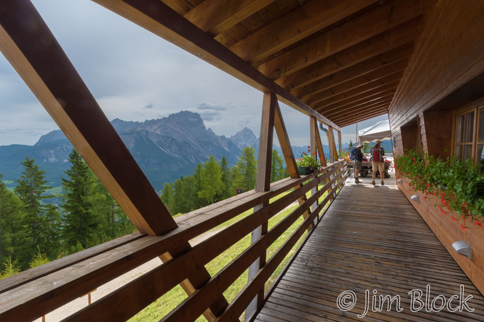
From this area we got a nice view looking up at Tofane. You might be able to pick out the two small dark spots on the center peak, which are the second and third gondola stations near the top of the image.
As I mentioned previously, the range is called Tofane and the three peaks, left to right, are Tofana di Rozes (10,581 ft), Tofana di Mezzo (10,643 ft), and Tofana di Dentro (10,623 ft).
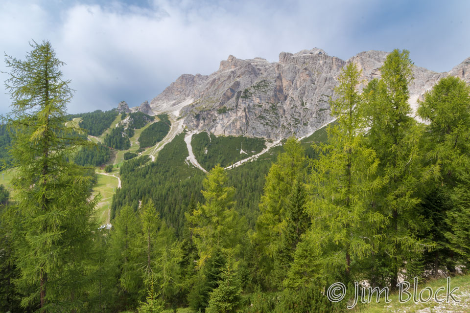
It was around 12:30 PM when we had lunch on the patio of this rifugio. I was carrying some bread and cheese I had purchased at la Cooperativa earlier. I used the downtime to wander the grounds and make some photos that I thought I might use in future photography classes illustrating perspective.
Here I define perspective as the size relationship of objects in a photo. Based on this definition, to change perspective you cannot stand in one place and simply zoom your lens. You must move your feet in addition to changing your focal length. This does amazingly powerful things to the composition and the scope of the background.
Study the two images below. The left one was taken with a wide angle lens. You see there is a lot of sky in the image. The right one was taken with a telephoto lens after I backed up a considerable distance. You can see the size relationship of the two stumps changes and the background changes dramatically.
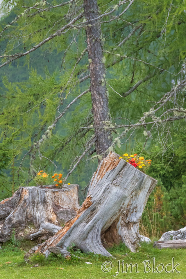
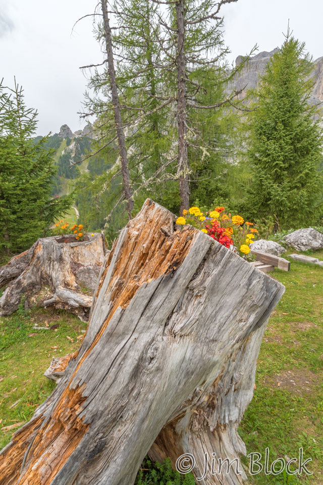
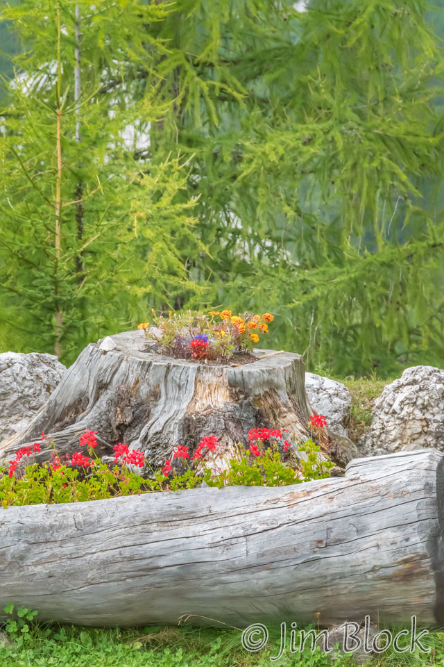
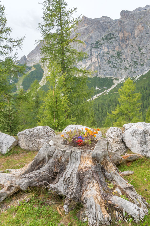
Below is a similar pair of images showing how changing your focal length and moving your feet can dramatically change the composition and simplify the background. The left image was taken with a wide angle lens close to the stump, while the right image was taken far back from the stump with a telephoto lens.
There was a very colorful butterfly just below the rifugio. Its beautiful blue was great on complimentary-color yellow flowers.
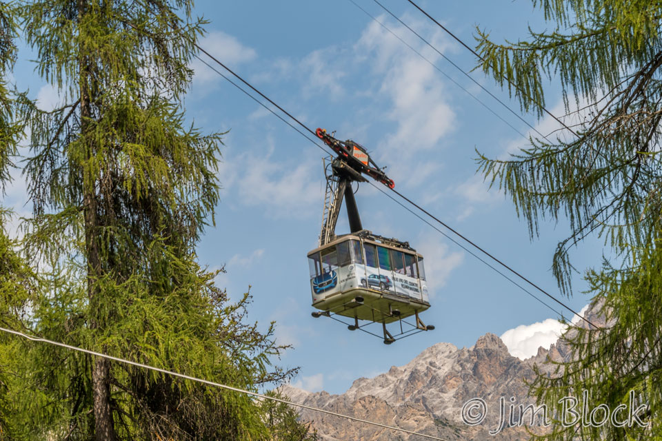
We decided to hike down rather than take the gondola from the first station to the base. Part of this hike was along ski trails. We found an impressive snow-making machine along the way. We also got photos of the gondola passing above us. Here are some photos of the first part of our hike down.
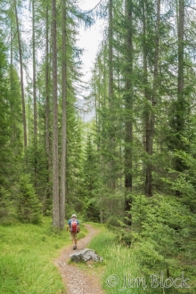
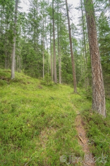
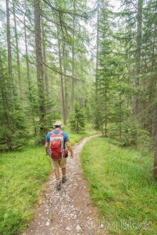
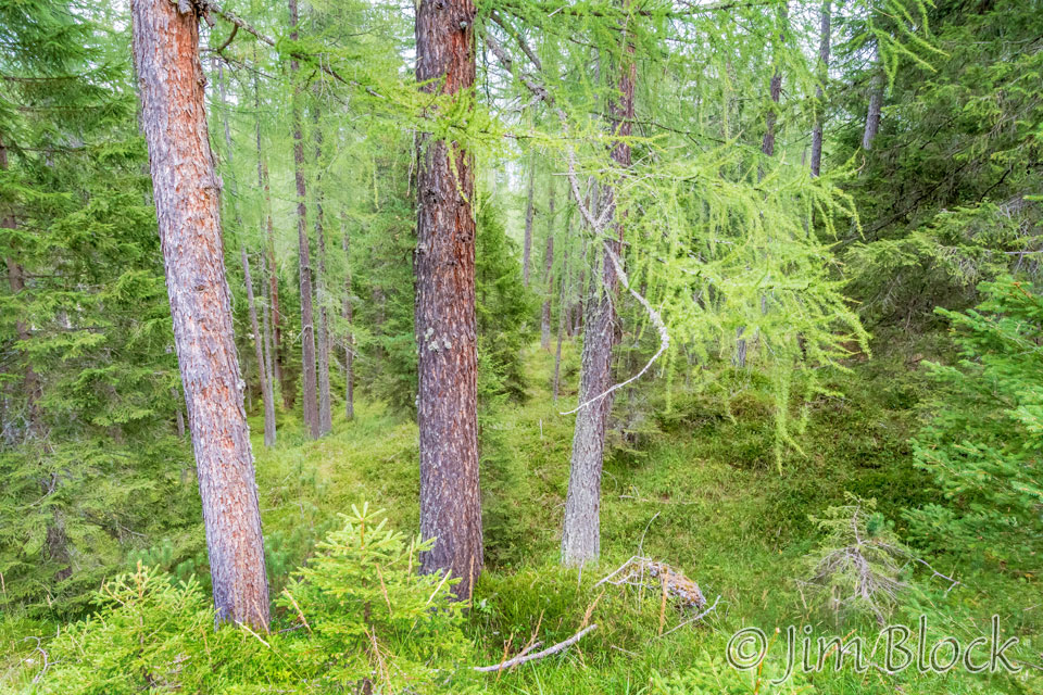
Parts of the forest were quite beautiful.
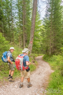
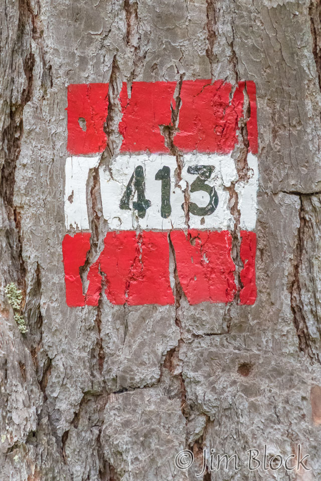
Occasionally we would find a blaze on a tree which told us we were on the right path.
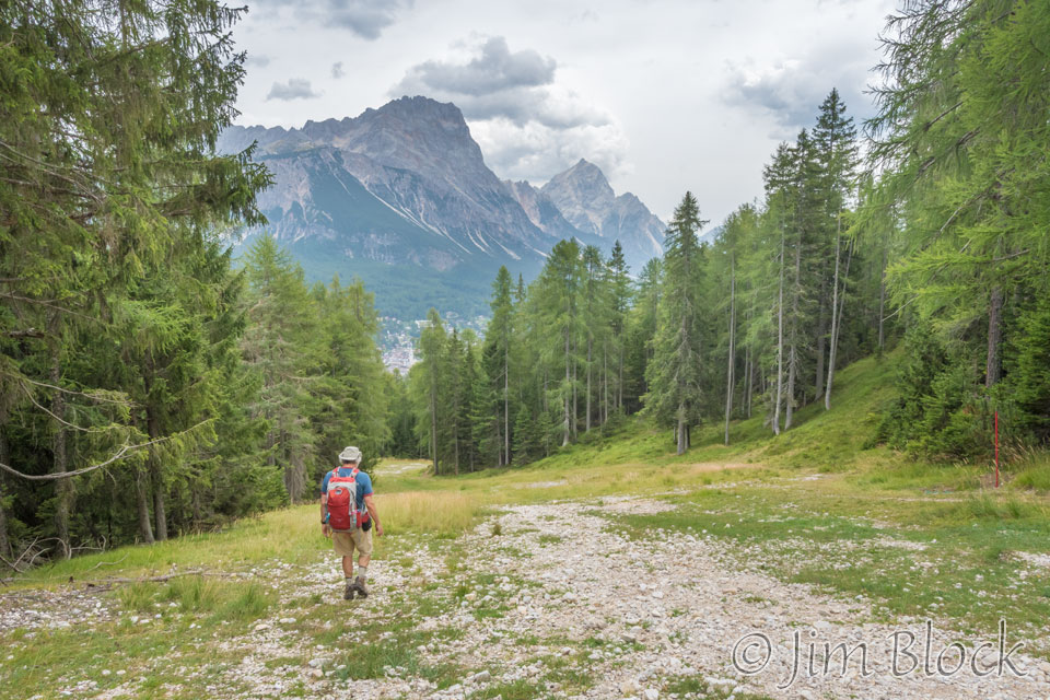
We hiked through a wonderful forest at lower elevations.
We reached an open area where there was a bobsled run from the 1956 Olympics. You can see it in the 10-photo panorama below followed by a photo of the mountains in the background of this scene.
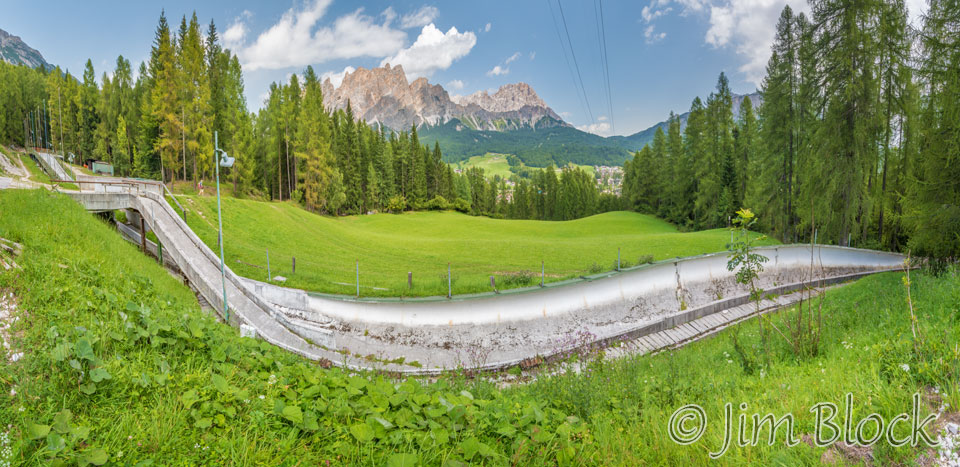
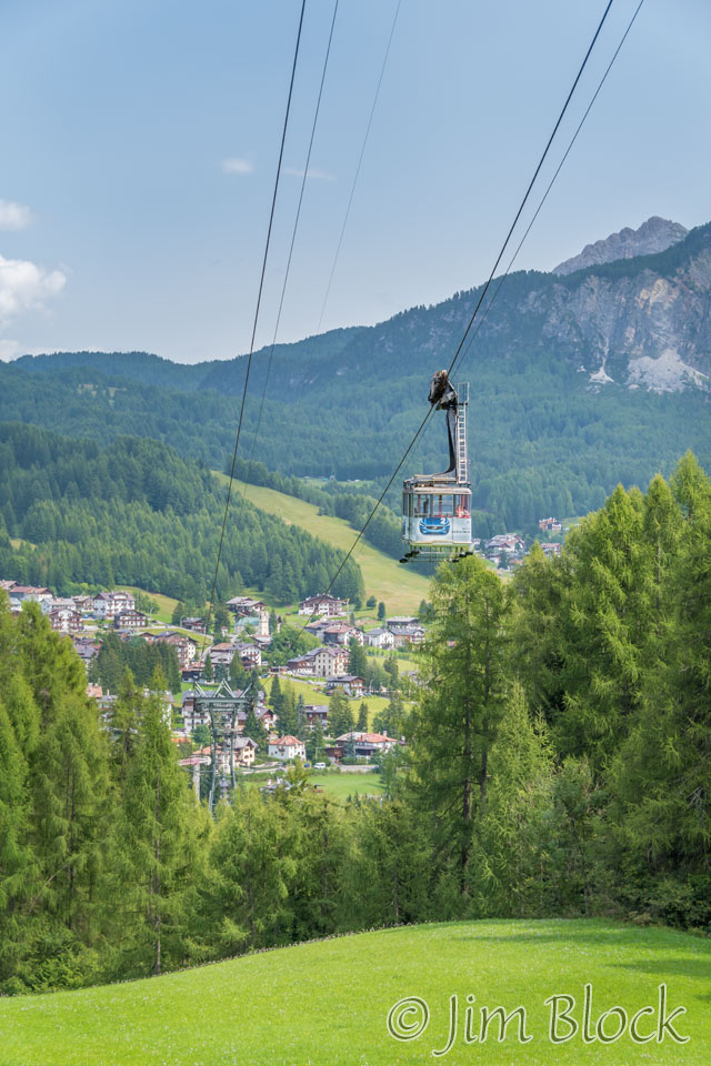
As we continue down, we passed under the gondola line and got a nice view of Cortina.
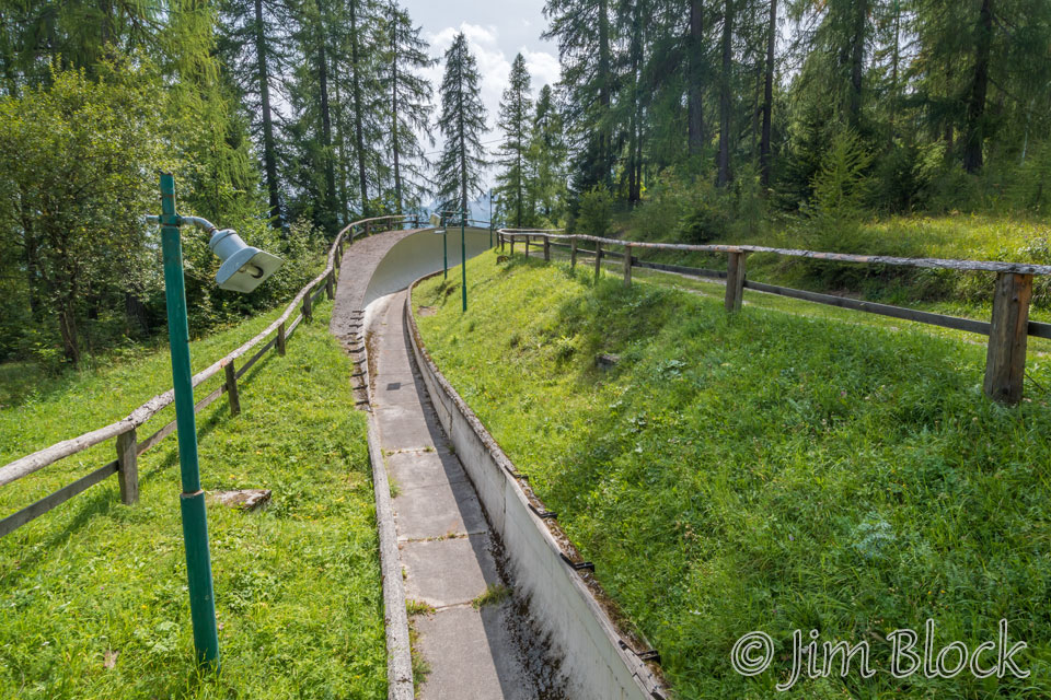
When we were farther down the bobsled run, I took this photo looking back along it.
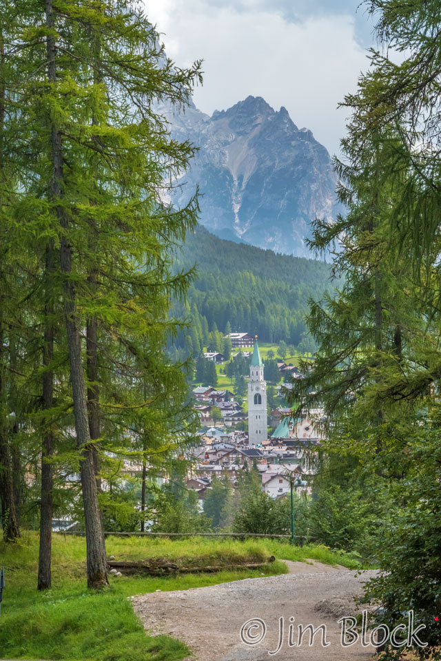
Below are four very different photos taken around 2 PM as we hiked down into Cortina.
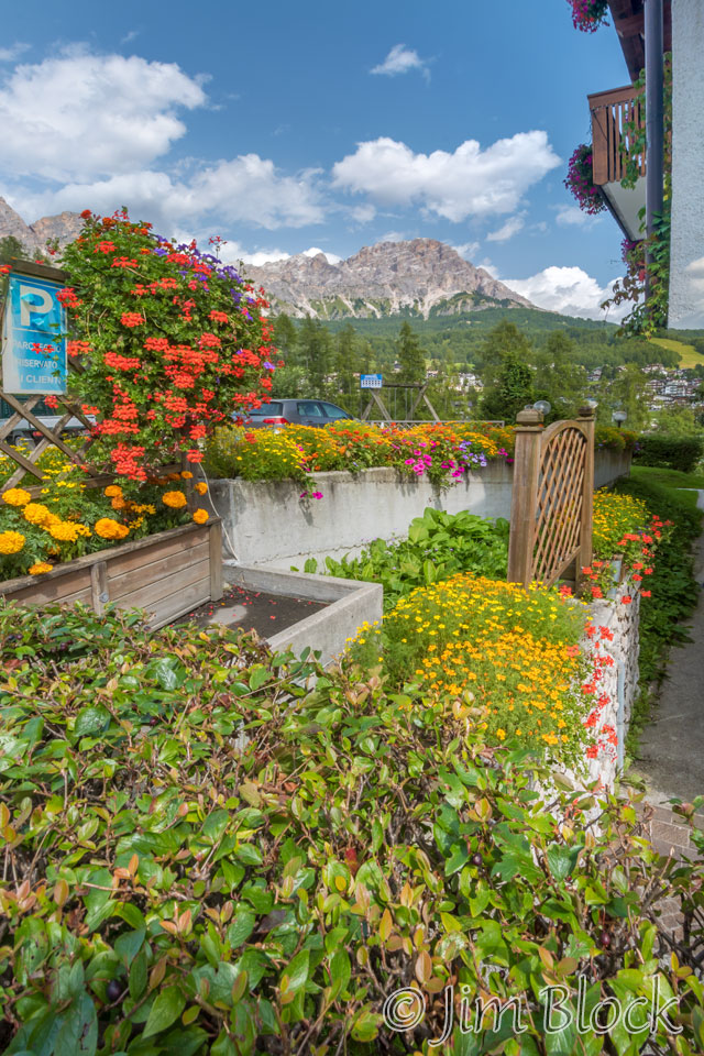
I got a photo of this flower-filled yard of a hotel and then another of Cortina in the distance.
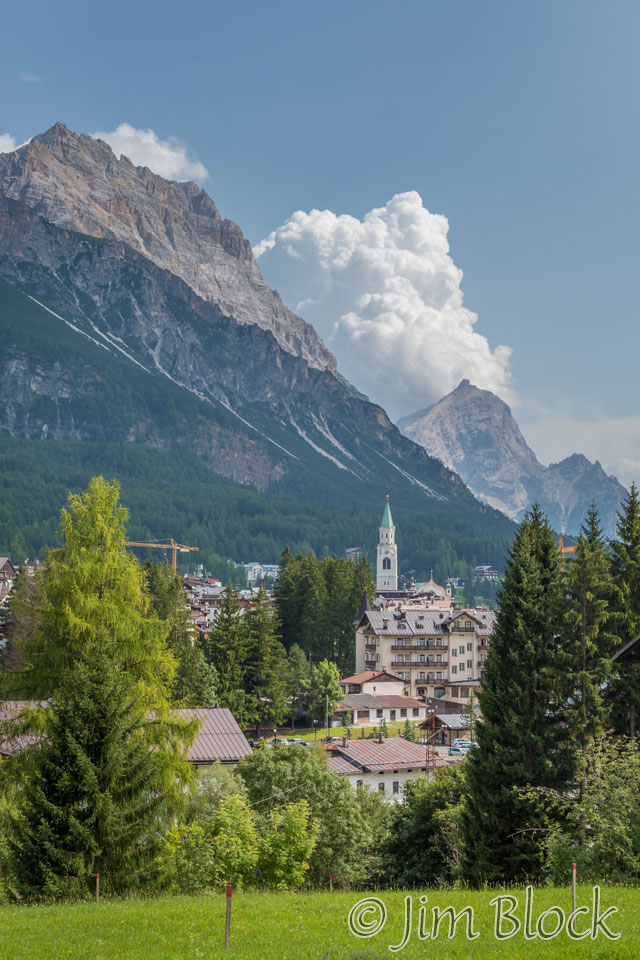
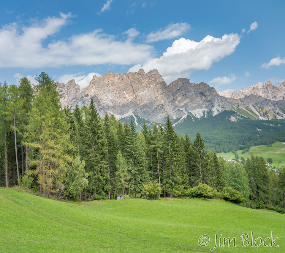
Before we entered the village I took the photo below of Croda da Lago.
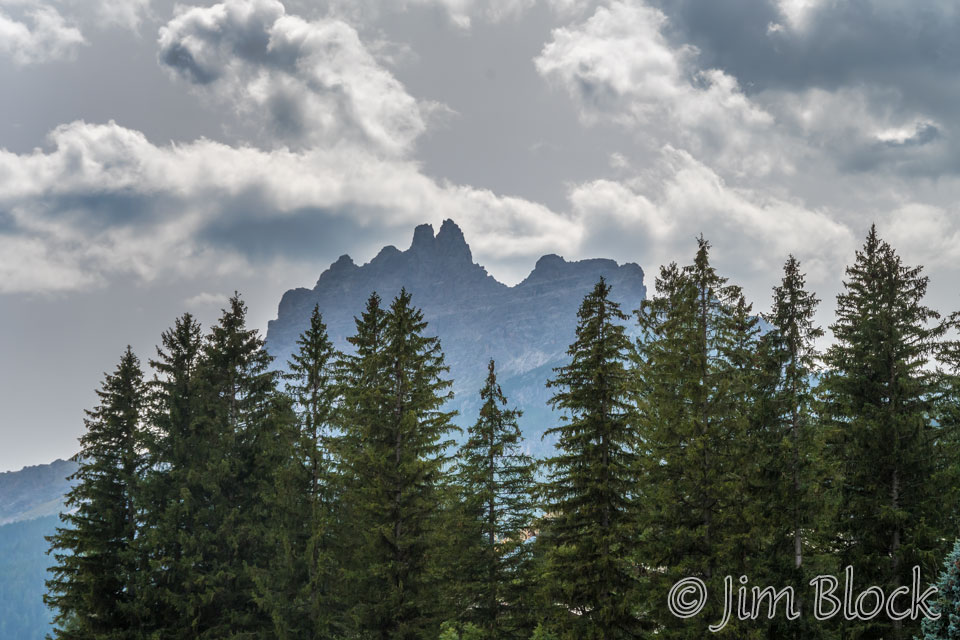
Back in Cortina, the streets were quite empty compared with the previous afternoon. Here are a few photos I took late afternoon.
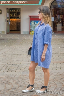
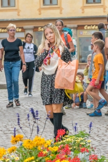
I also got photos of some of the people and the scenes in the village.
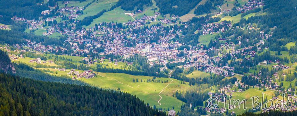
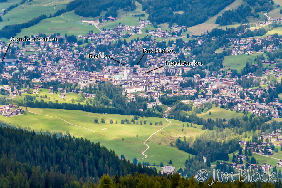
A bit over a week later we reached Forcella Ambrizzola where we got a view back into Cortina. Here are three photos I took from that forcella shortly before we descended to Rifugio Citta di Fiume.
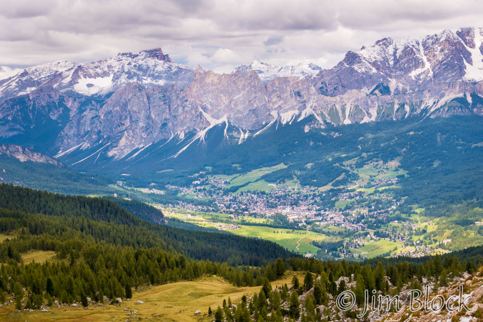
Cortina is an amazing place, well worth the visit in any season. I certainly enjoyed our day-and- a-half stay there.


