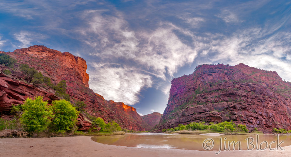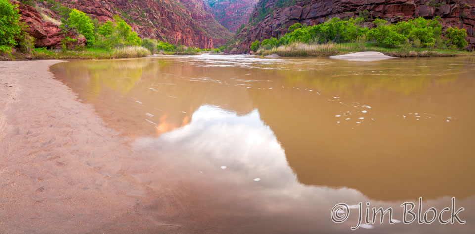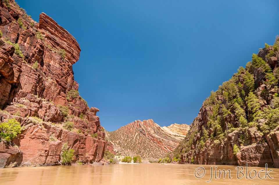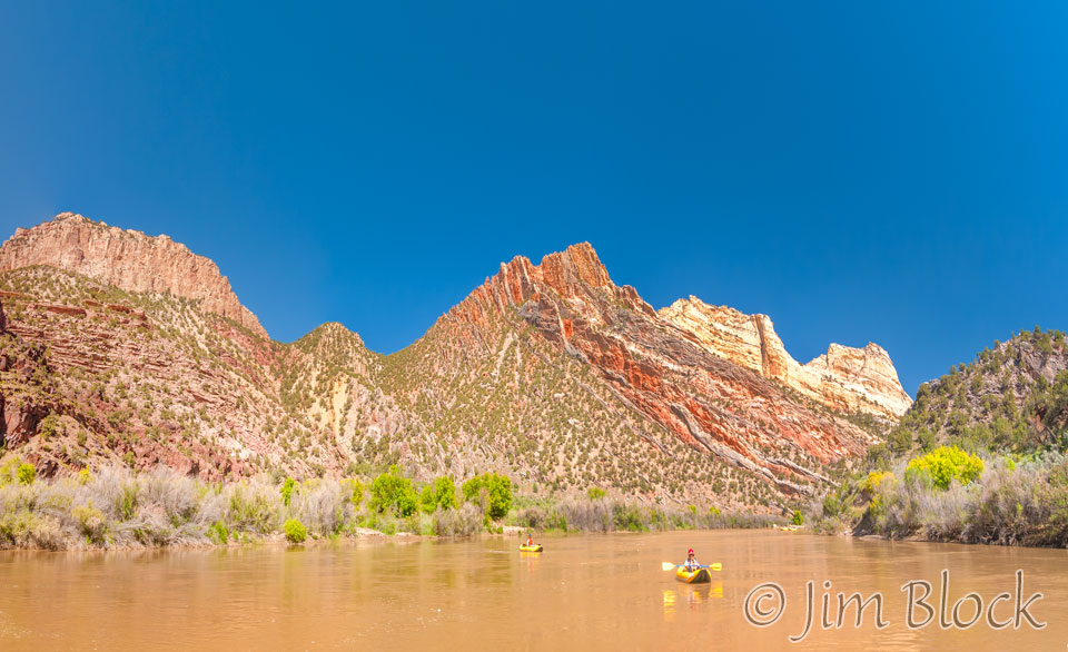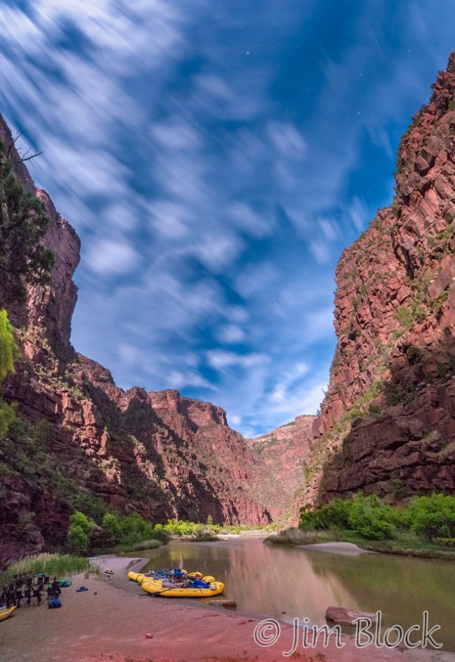
It was almost 5 hours before coffee would be served, but I was up taking photos. The moonlight was great. I walked down to the beach and got the one to the right at 2:16 am. It is looking upstream.
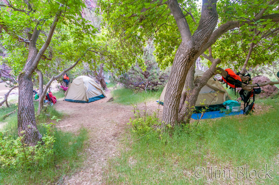
This is my bed site at just before 6 am.
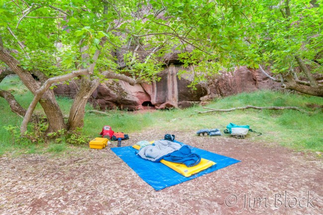
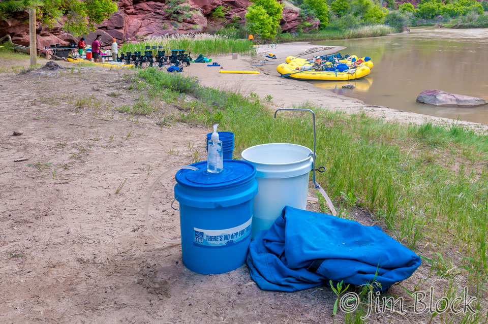
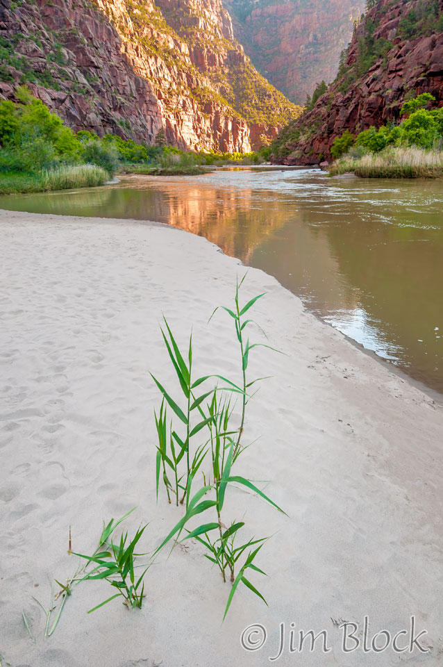
Below is how the beach at Rippling Brook looked a few minutes later.
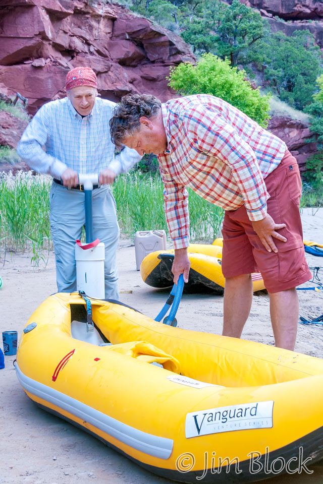
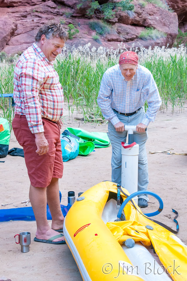
Jill and Stephen were normally the first up. While breakfast was being prepared, Stephen helped Bruce inflate a duckie.
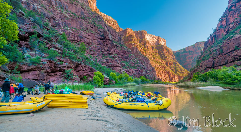
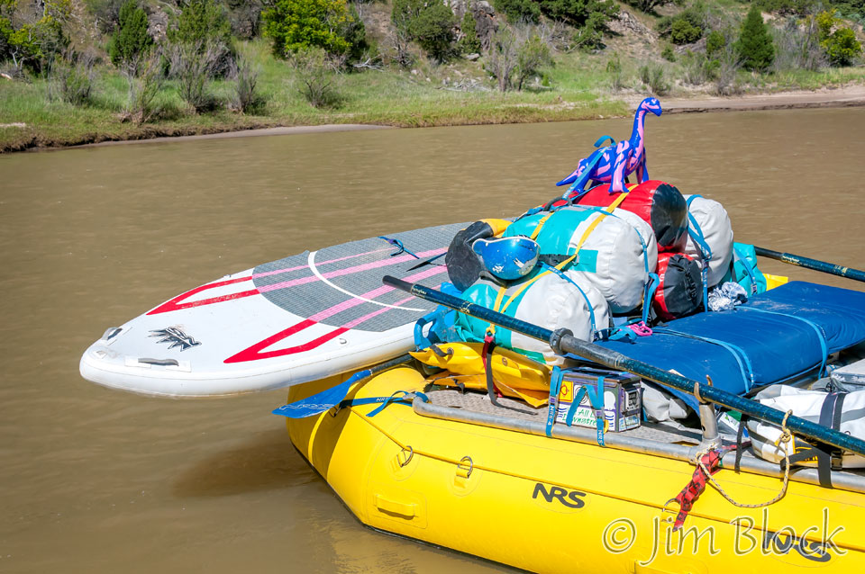
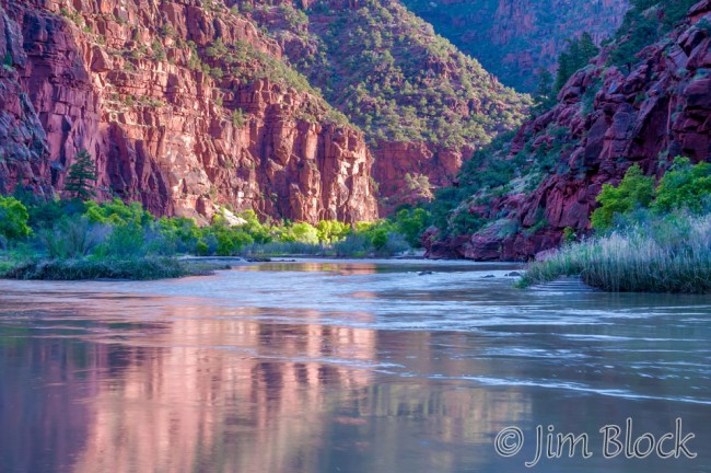
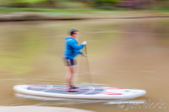
The early reflections were great. Stefanie brought the SUP back to the rafts.
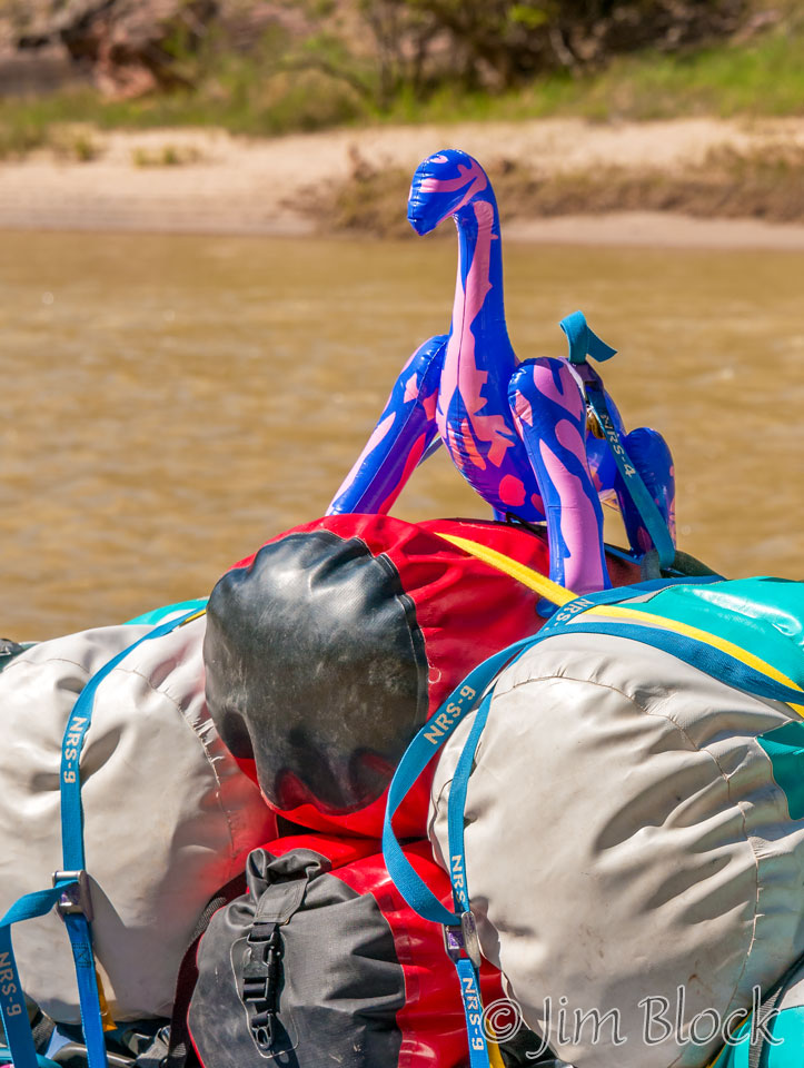
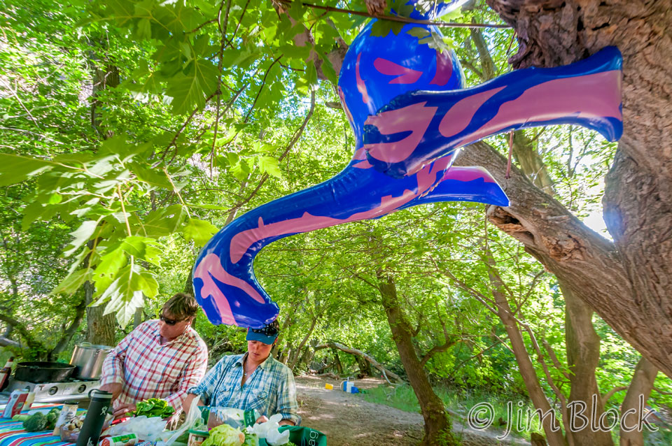
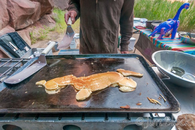
Charlie fashioned pancakes in the shape of a dinosaur. The inflated dinosaur was with us wherever we went.
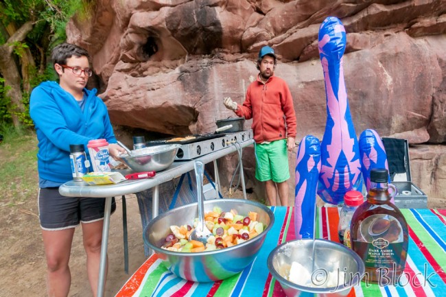
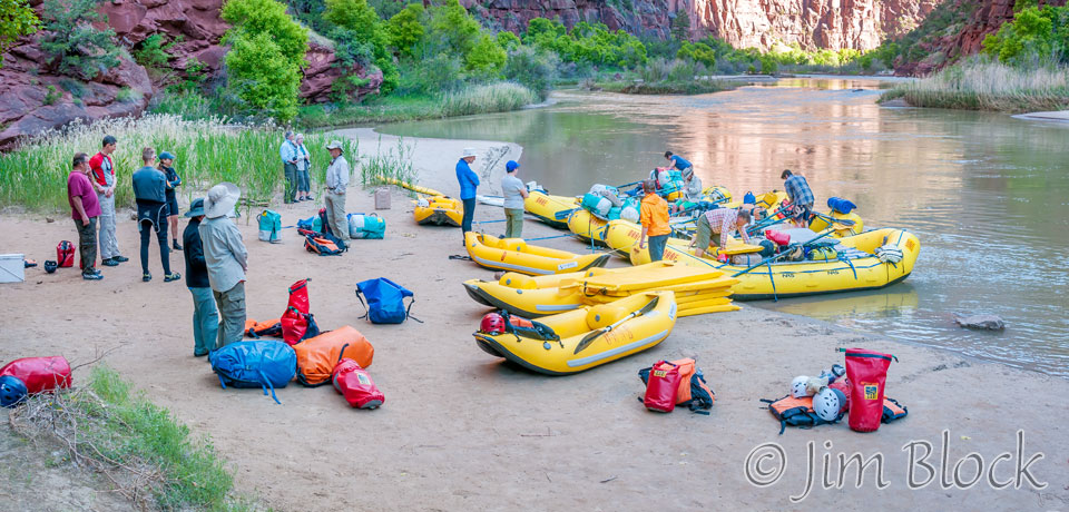
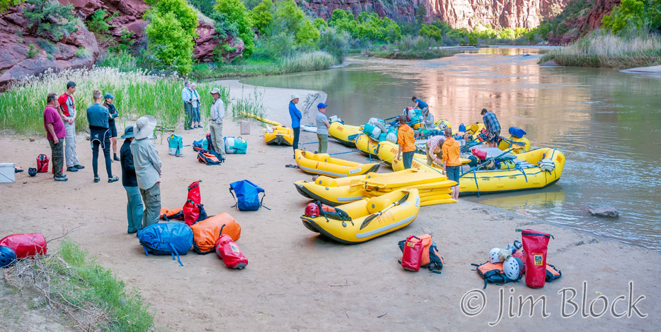
As we were packing up to go, Jill, in orange, again overdid herself be being everywhere ready to help.
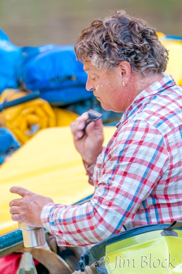
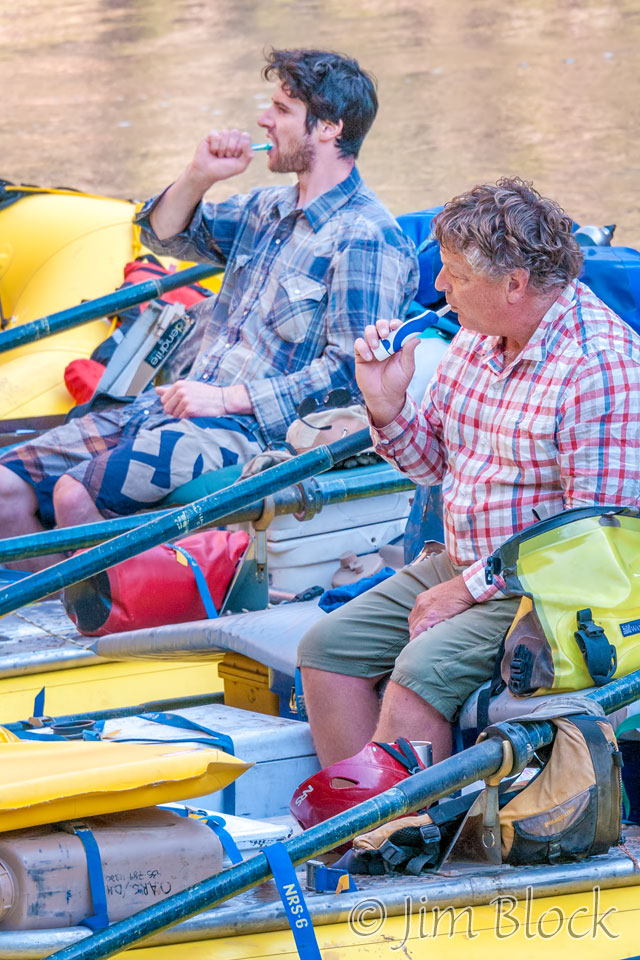
Bruce and Charlie were tending to their morning rituals.
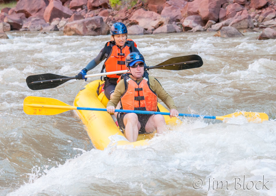
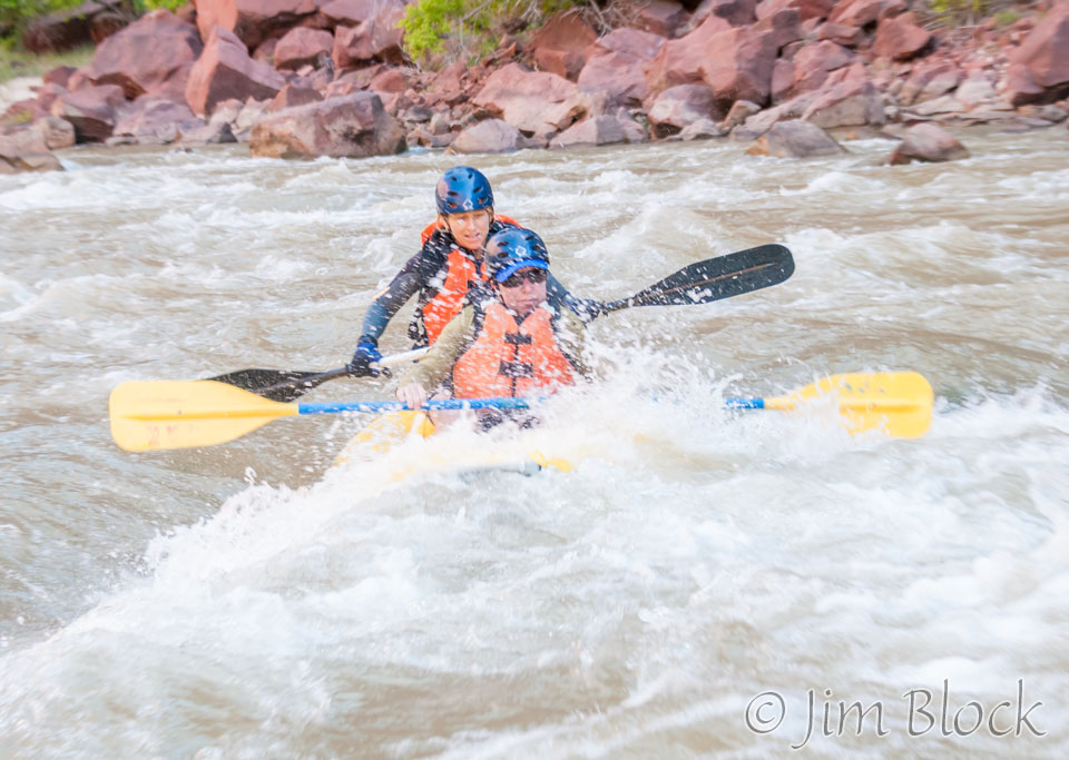
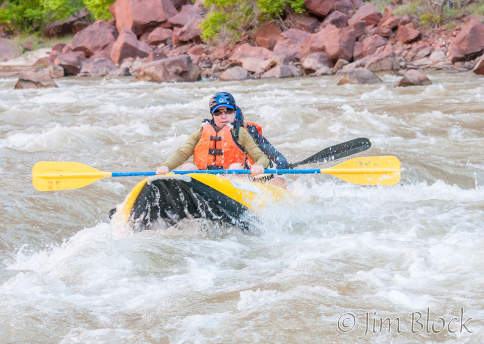
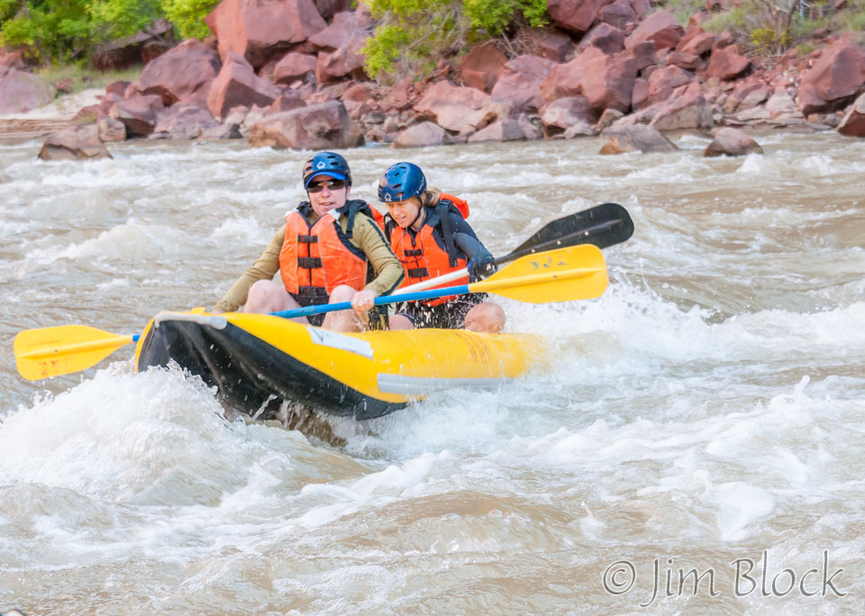
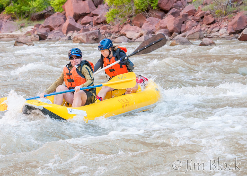
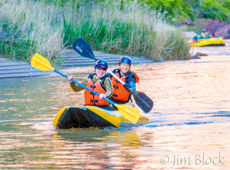
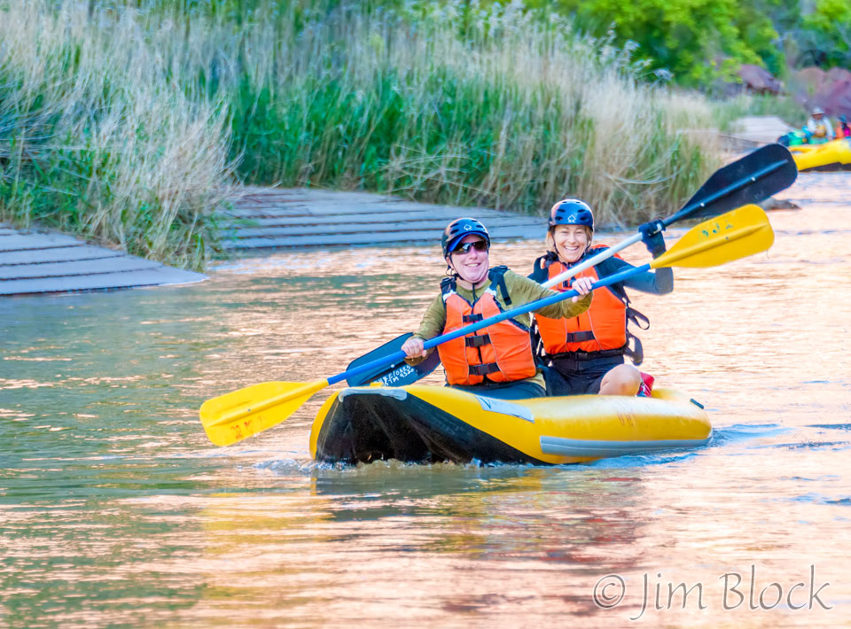
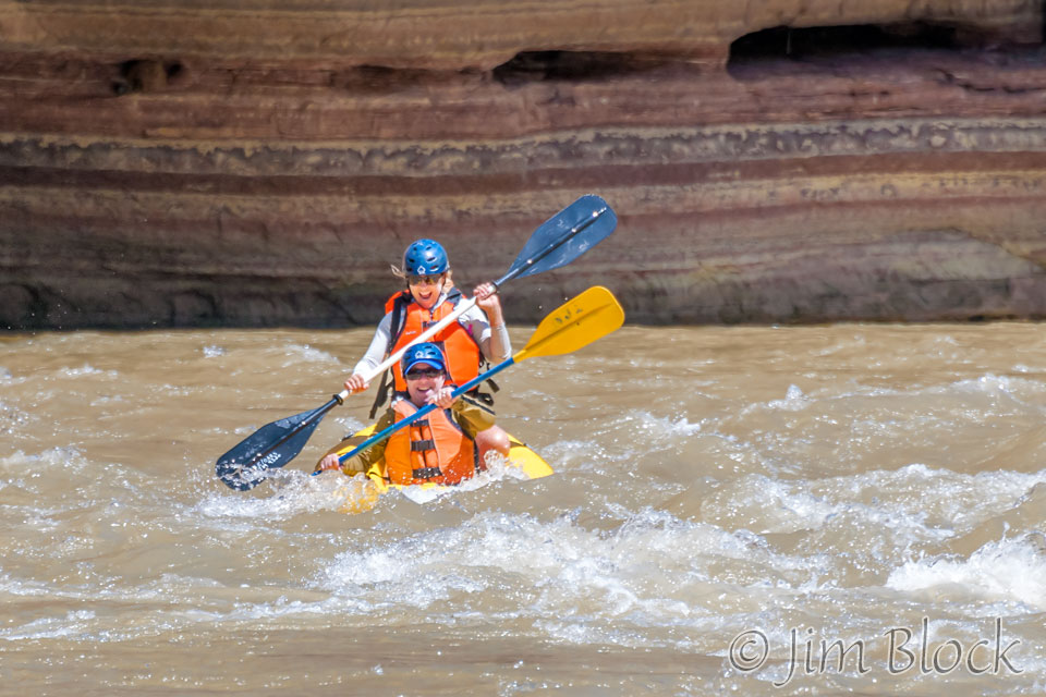
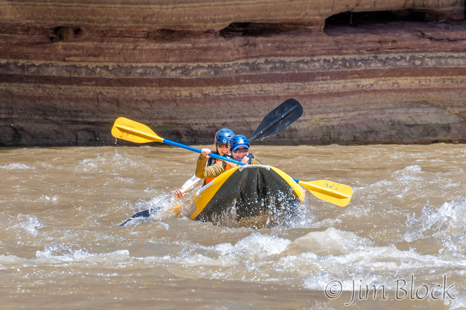
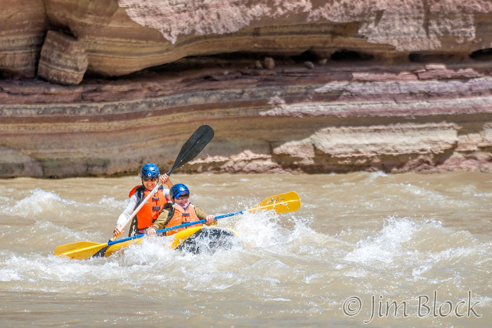
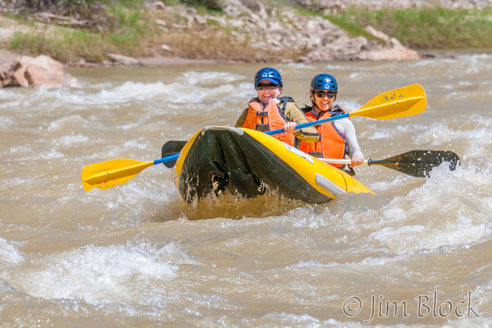
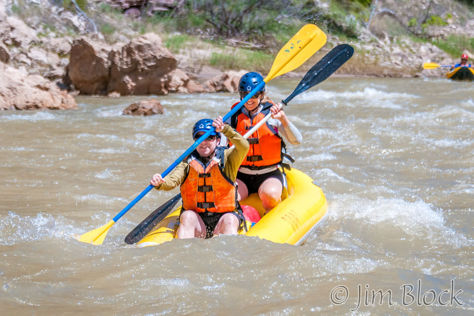
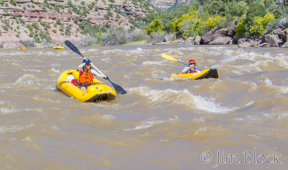
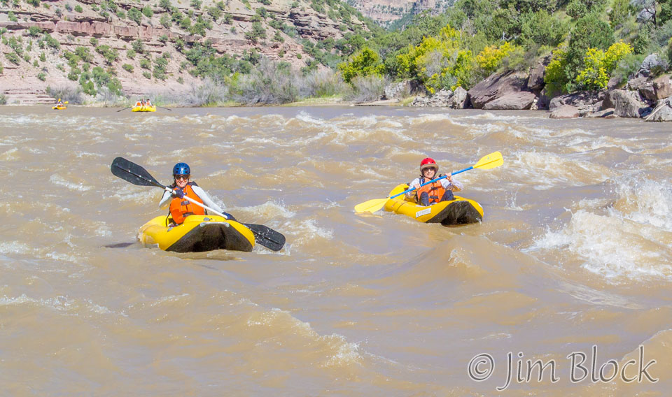
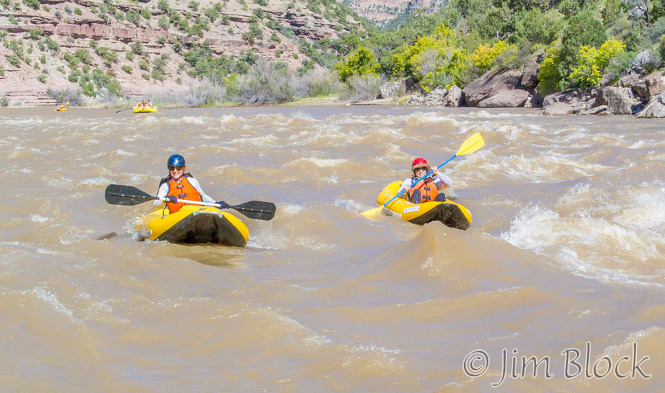
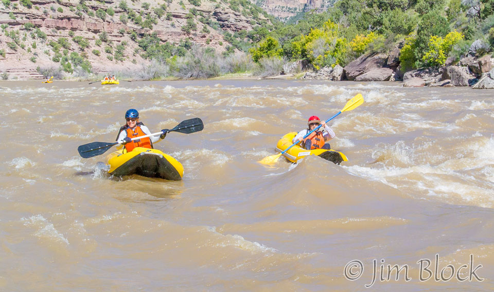
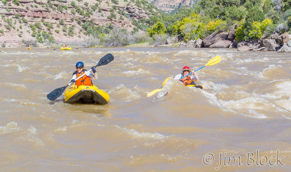
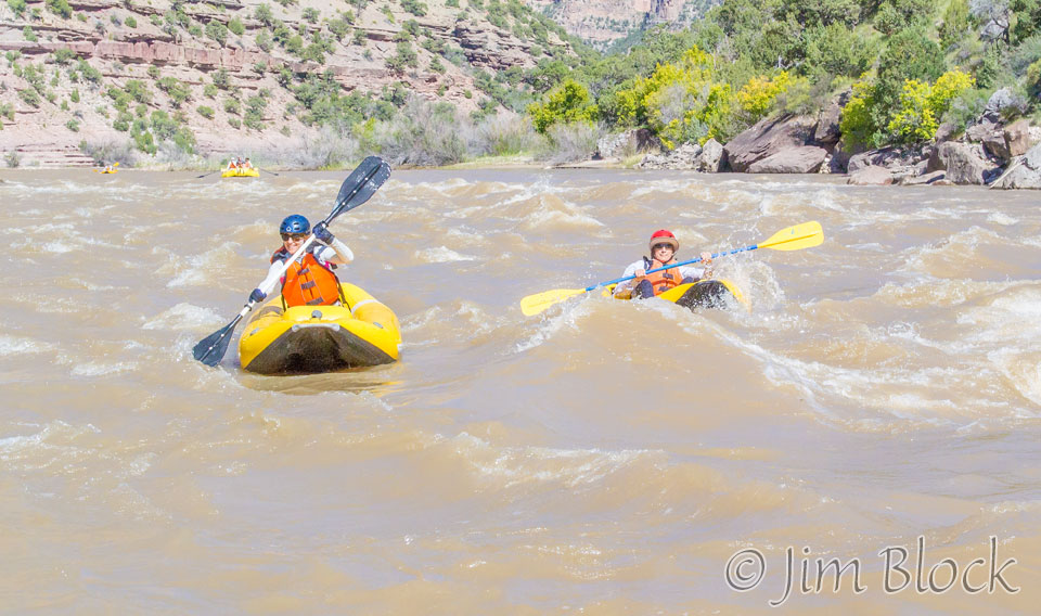
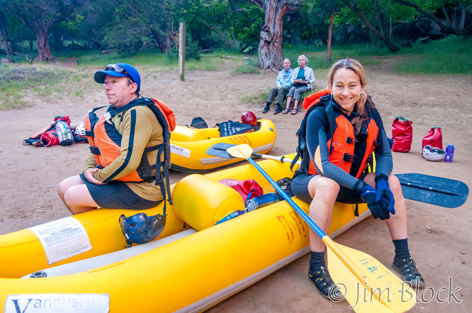
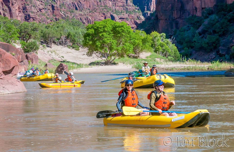
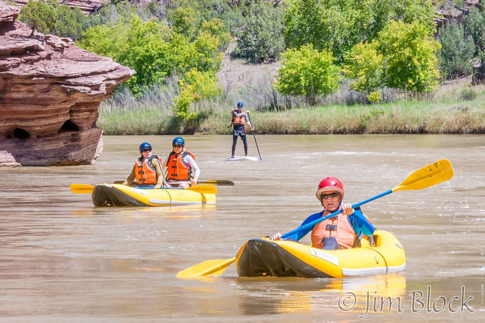
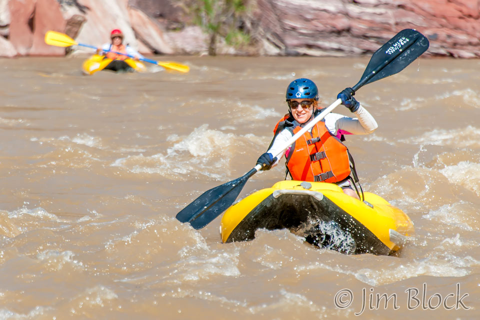
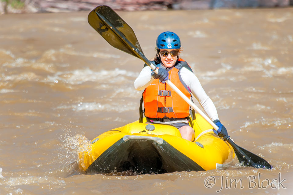
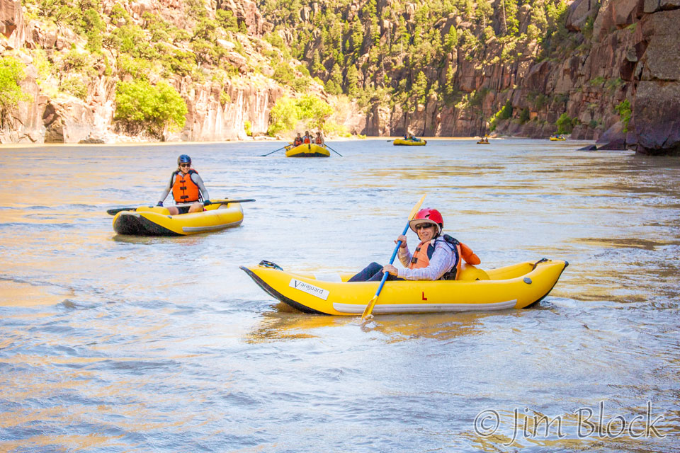
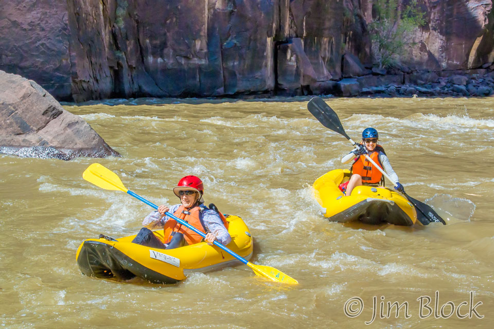
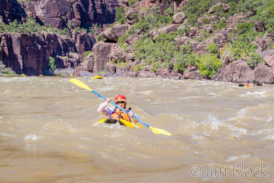
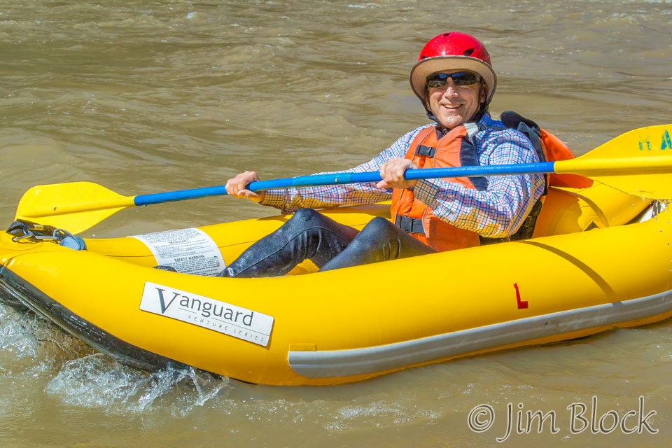
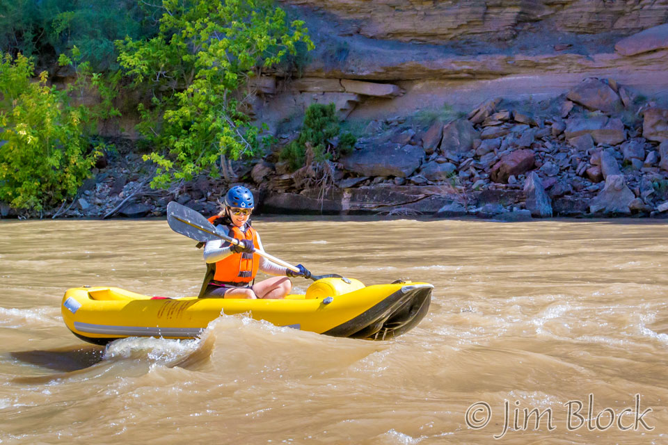
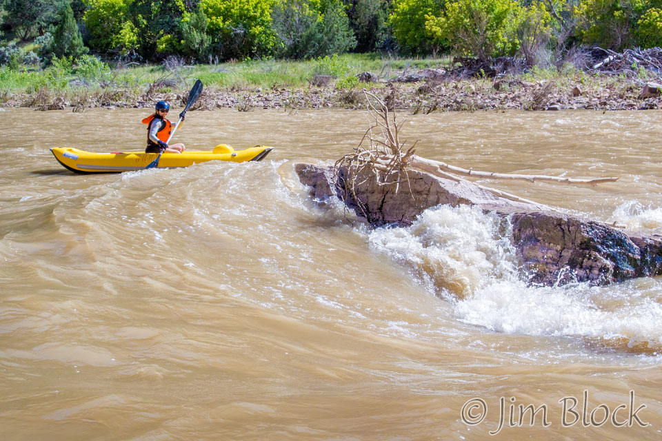
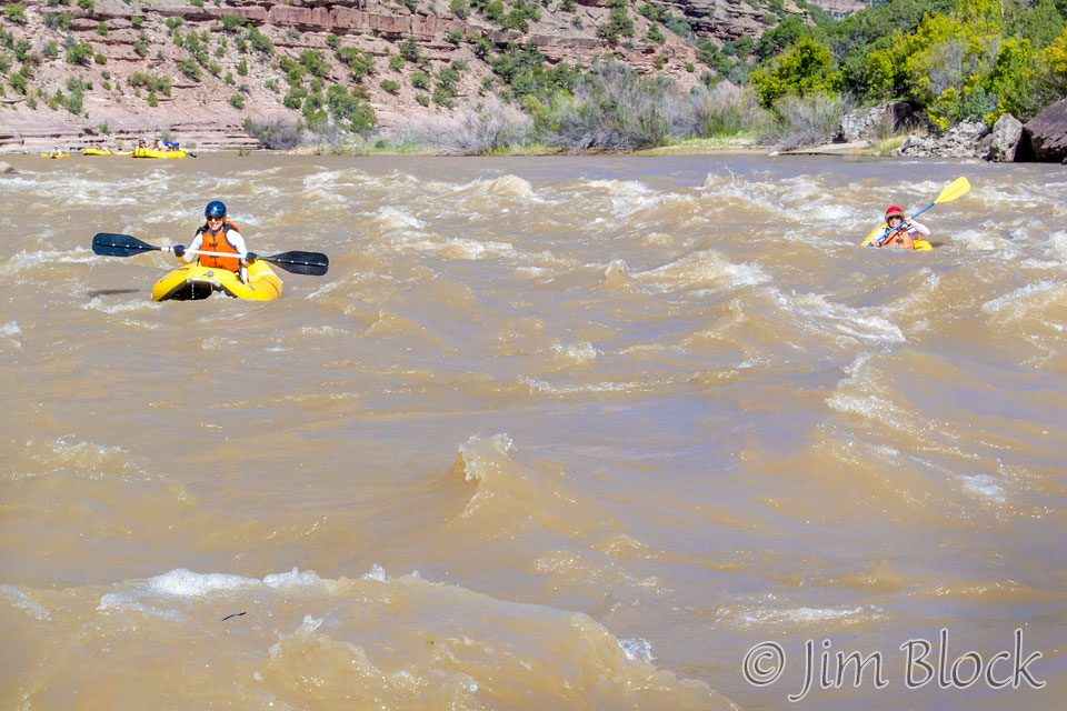
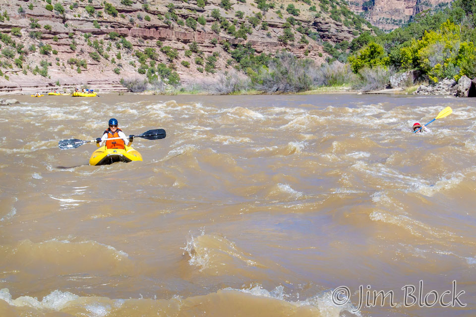
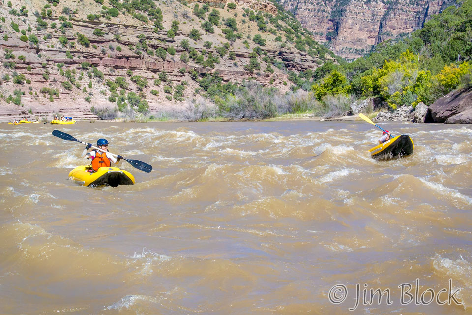
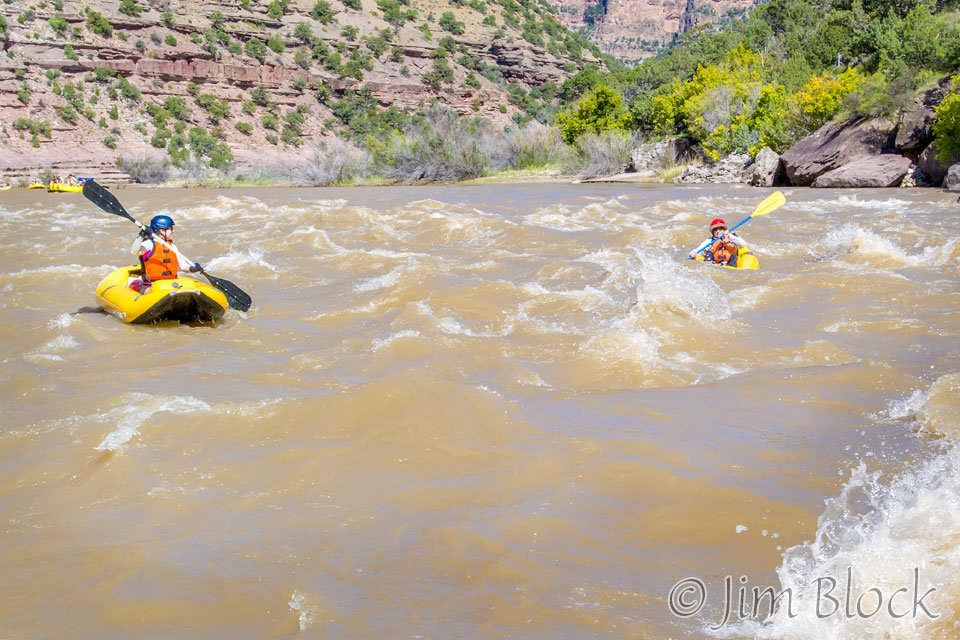
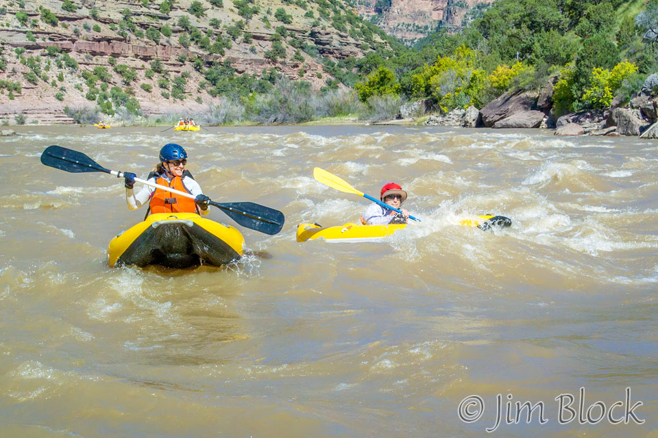
Jennifer and Heather shared a double duckie this morning. Soon they had a bit of excitement.
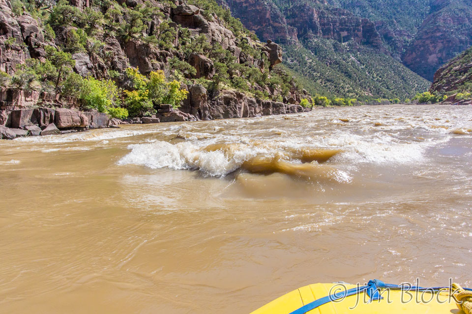
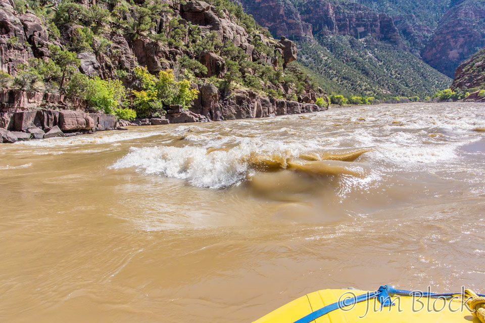
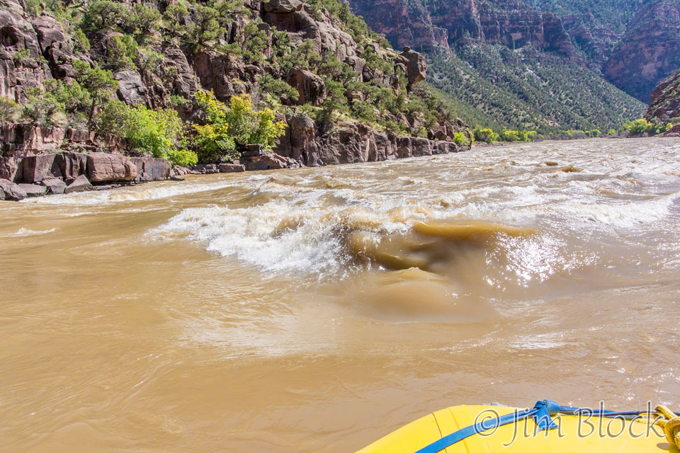
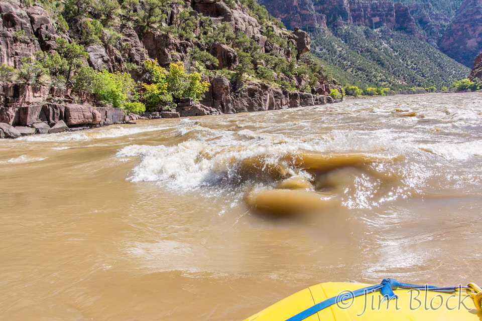
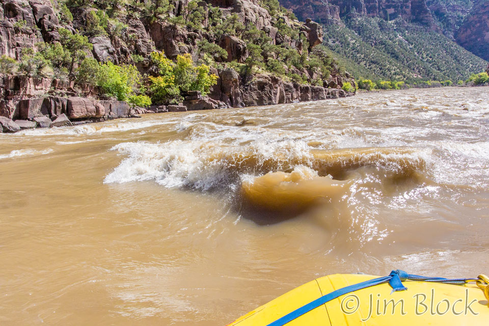
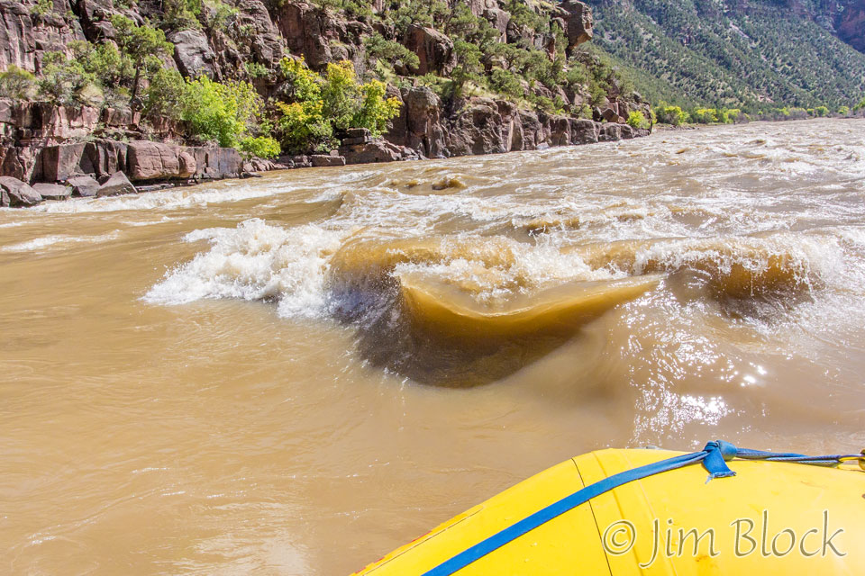
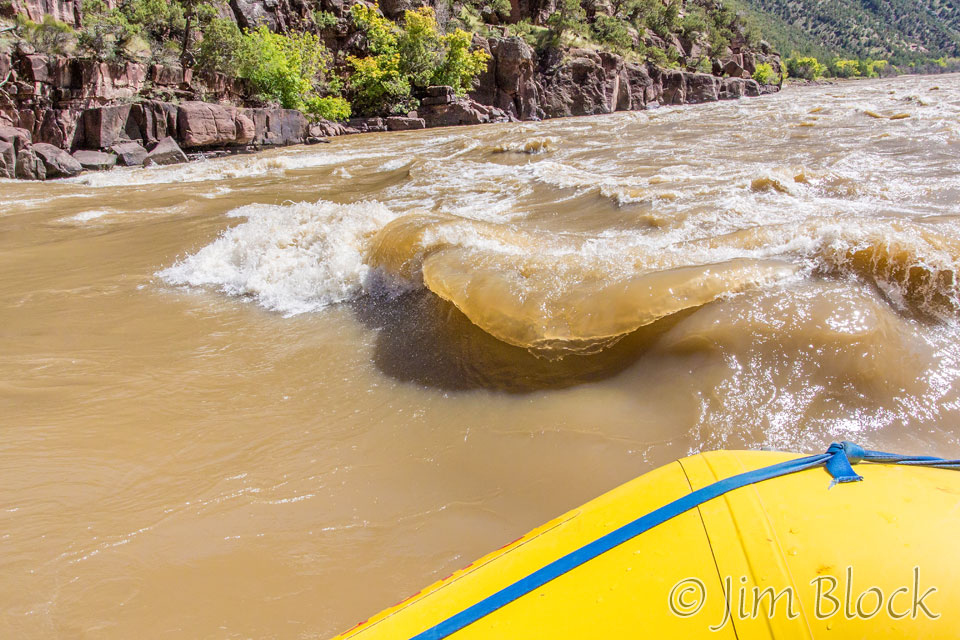
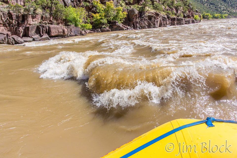
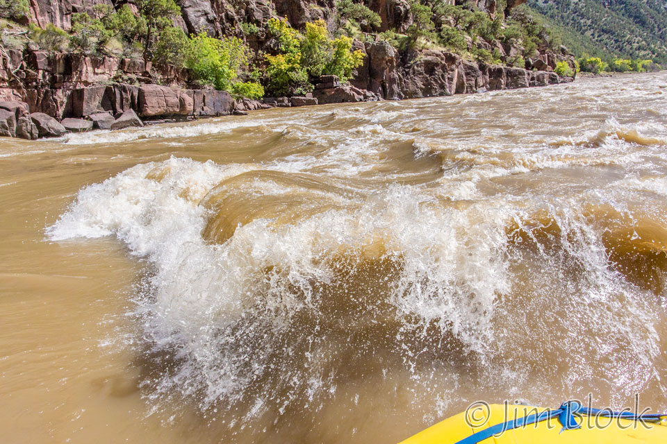
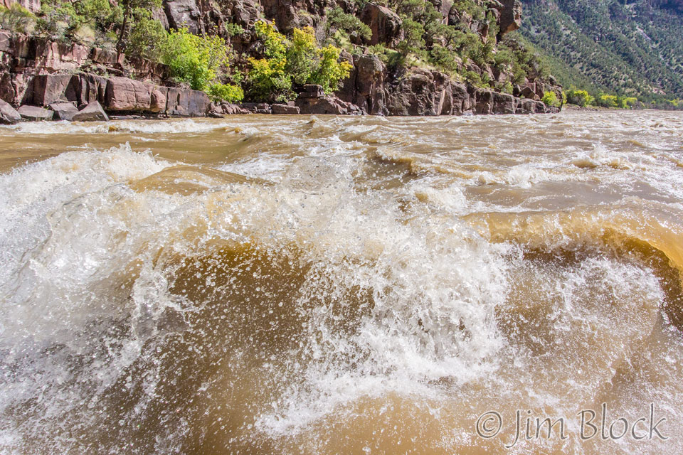
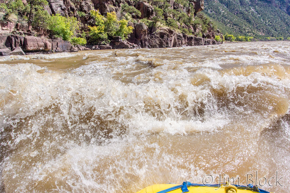
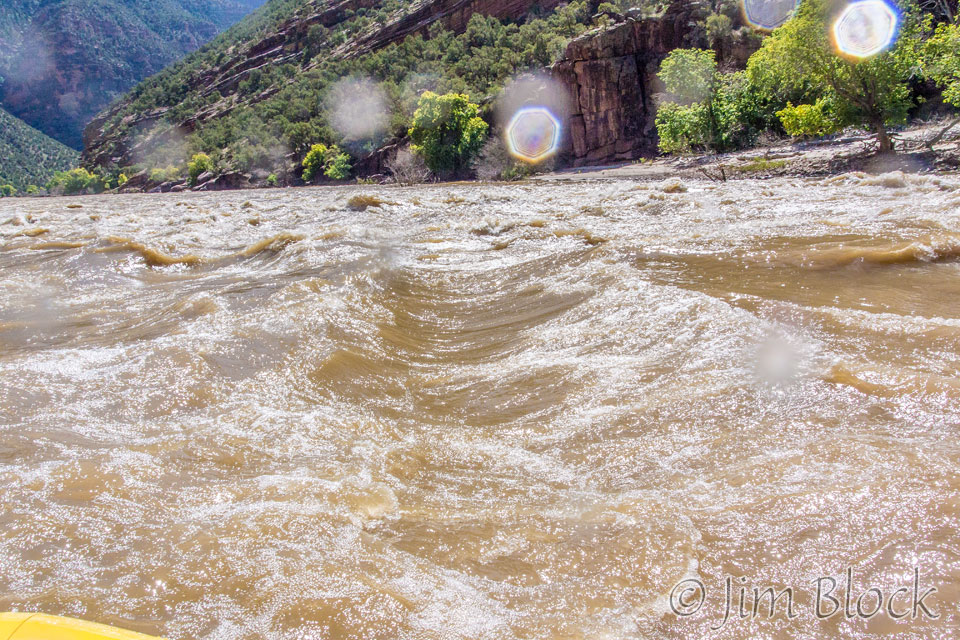
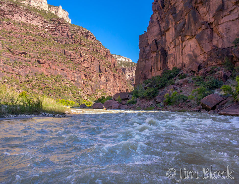
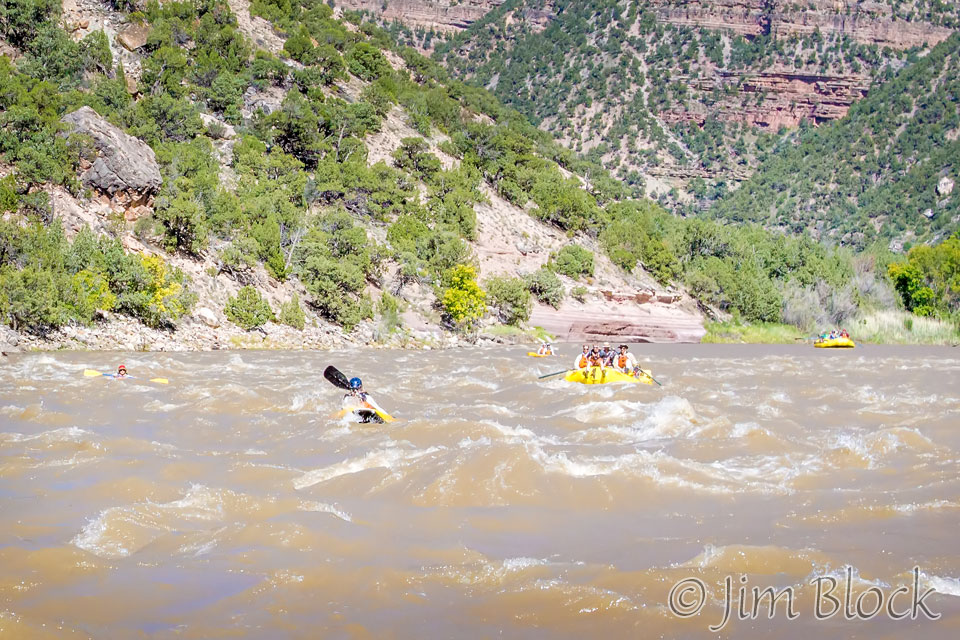
Meanwhile safely in a raft, I photographed a few nice waves.
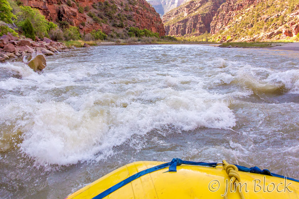
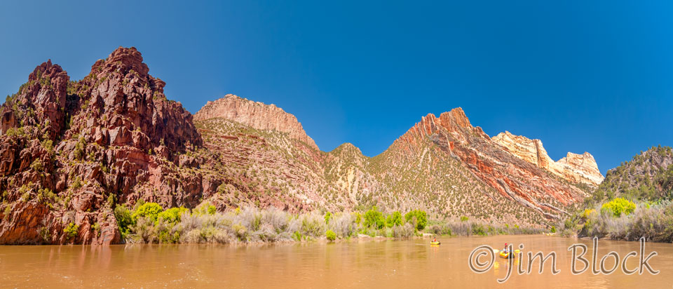
We cruised down the river enjoying both the calm and exciting parts.
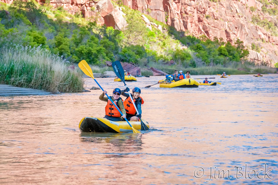
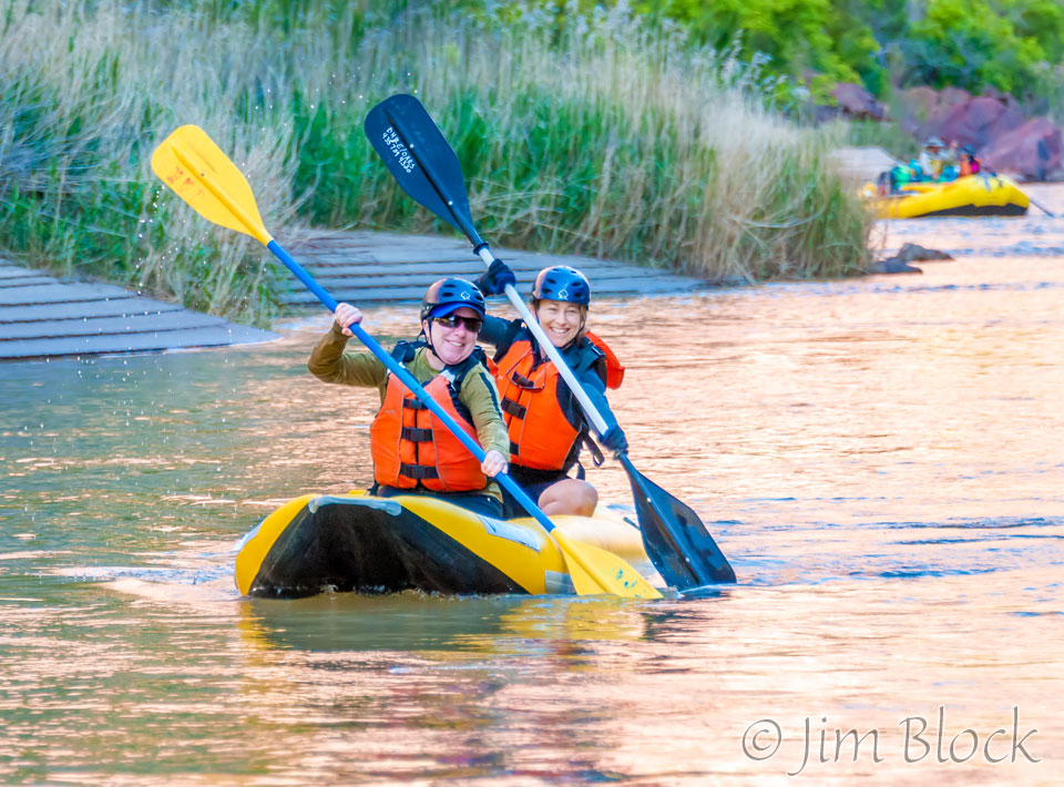
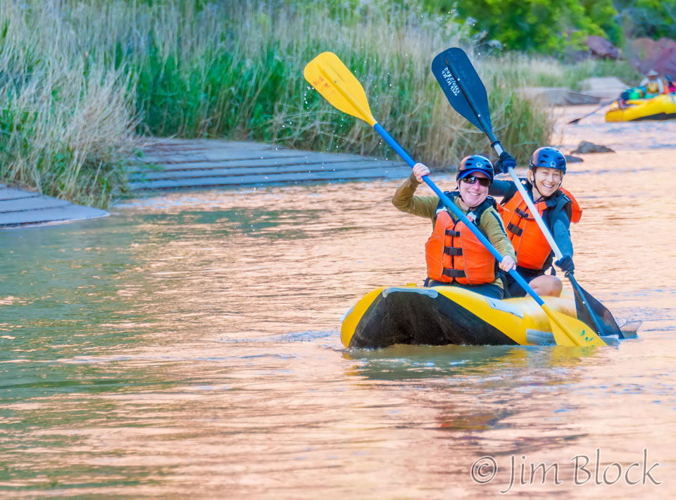
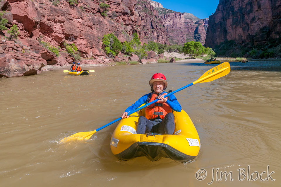
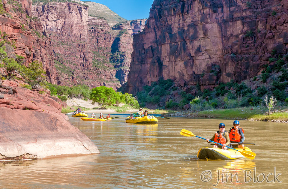
Jennifer and Heather hit a nice calm section where they could get in sync nicely.
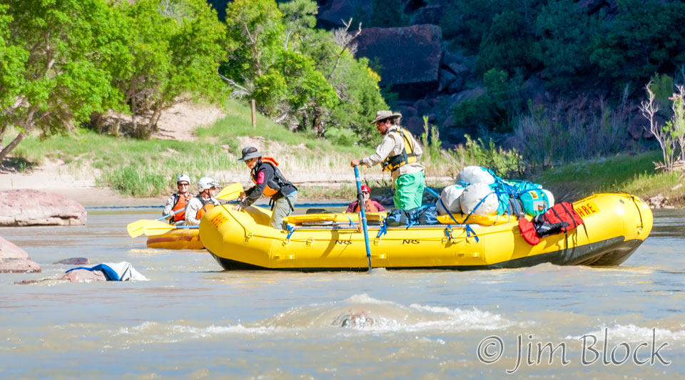
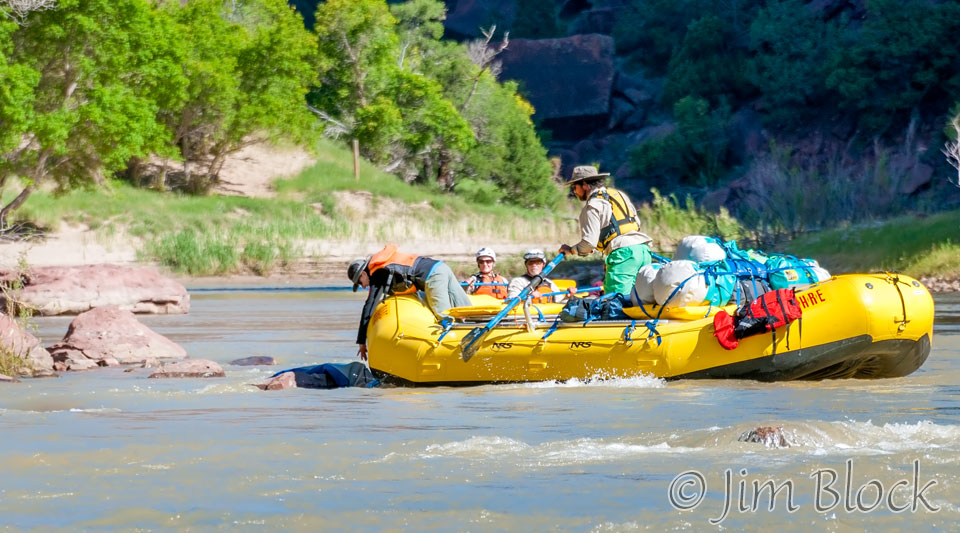
We found a duckie that needed rescuing. After the trip it was returned to its owner.
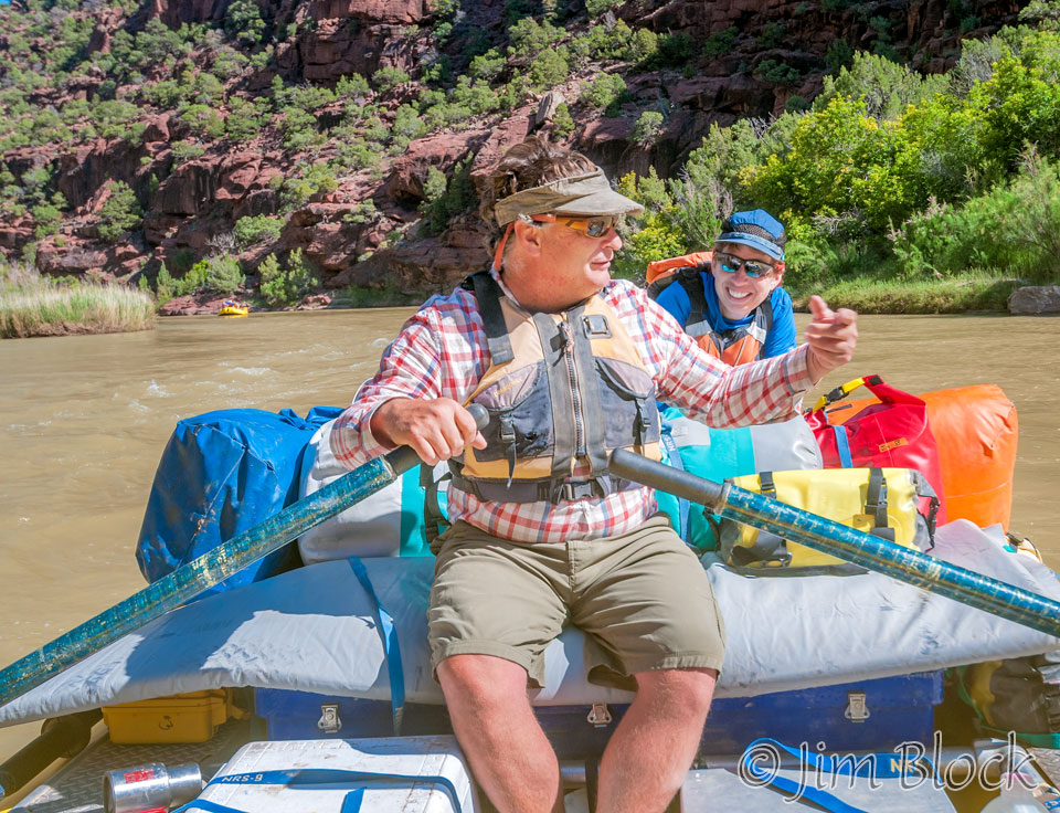
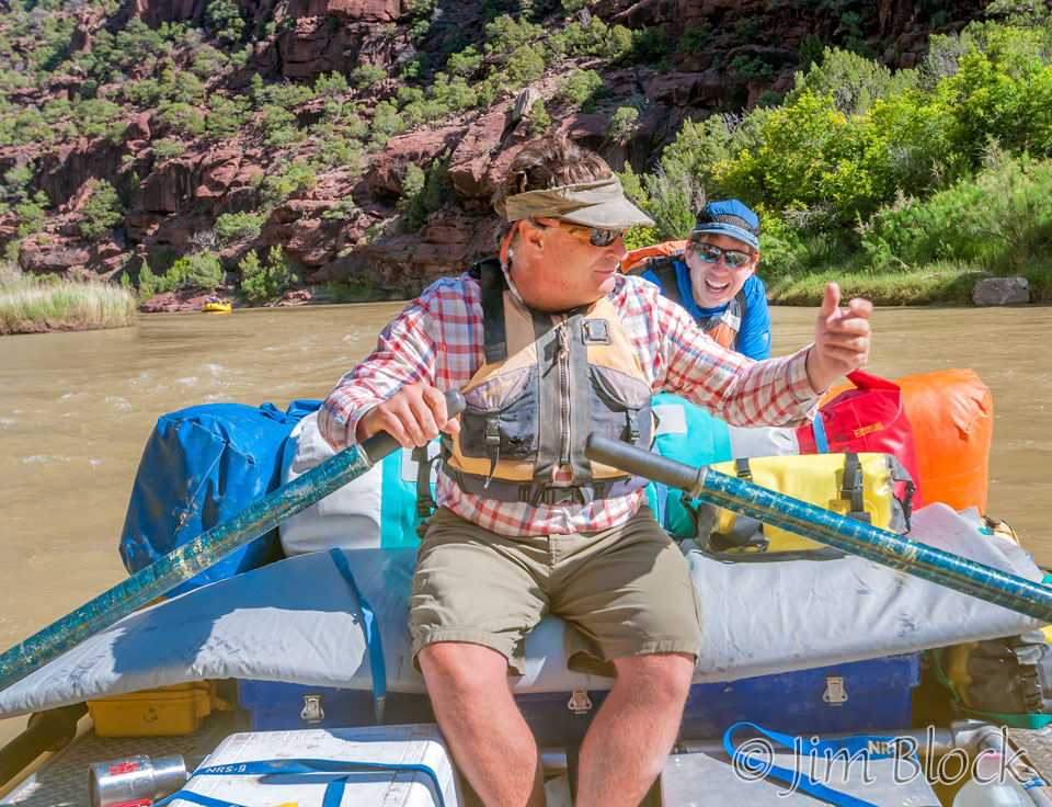
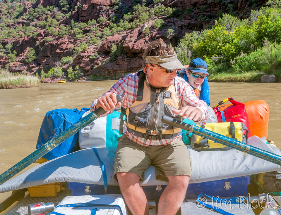
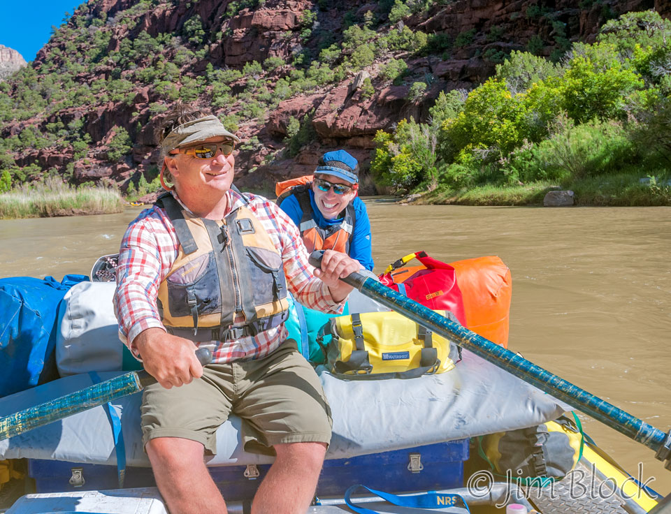
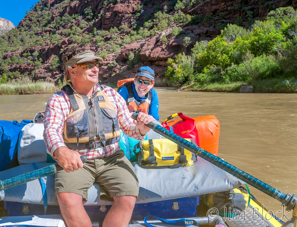
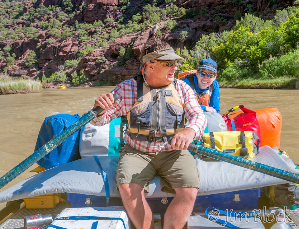
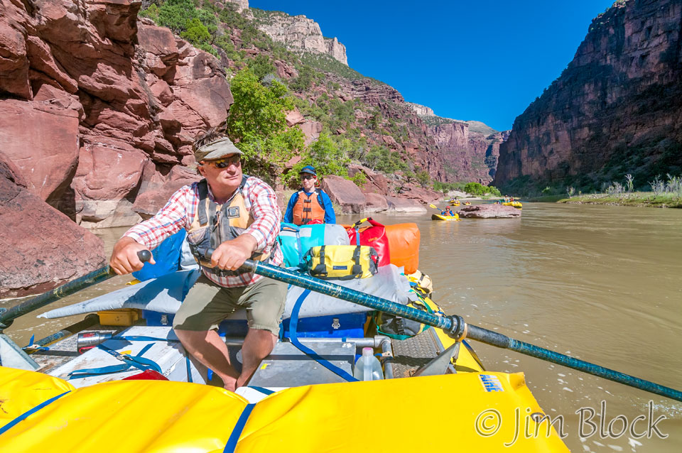
I rode with Jill and Bruce. They will be together about the time this is first posted on a spectacular trip in Alaska on the Alsek River with O.A.R.S. They tried to talk me into joining them, but I felt I couldn’t leave my wife for another two weeks after these two rafting trips on the Green and Yampa and a one-in-a-lifetime trip to Bhutan. By the way, Bruce will be rafting in Bhutan this fall on a very special private trip for good guys and experts.
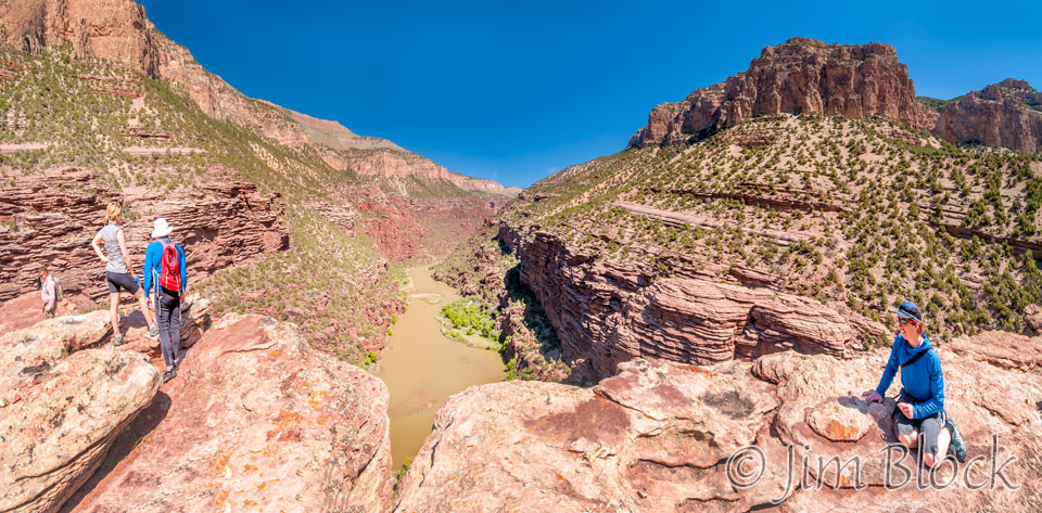
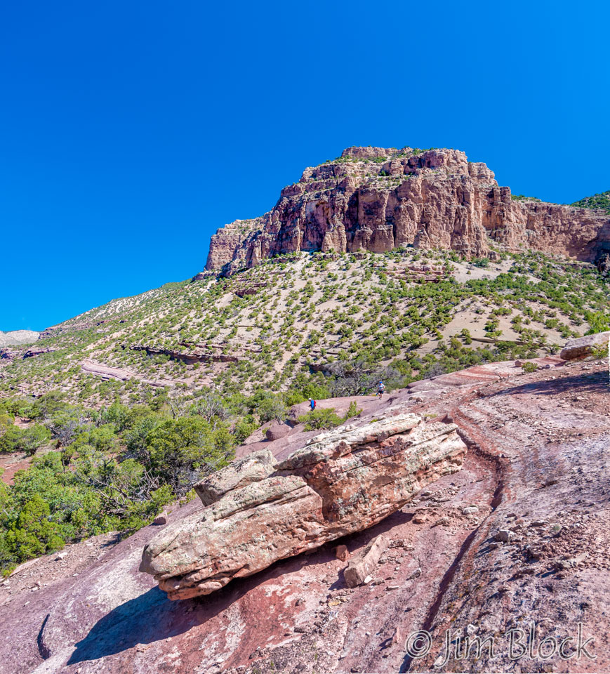
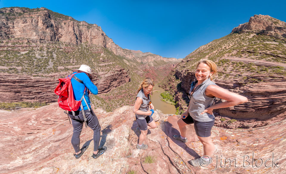
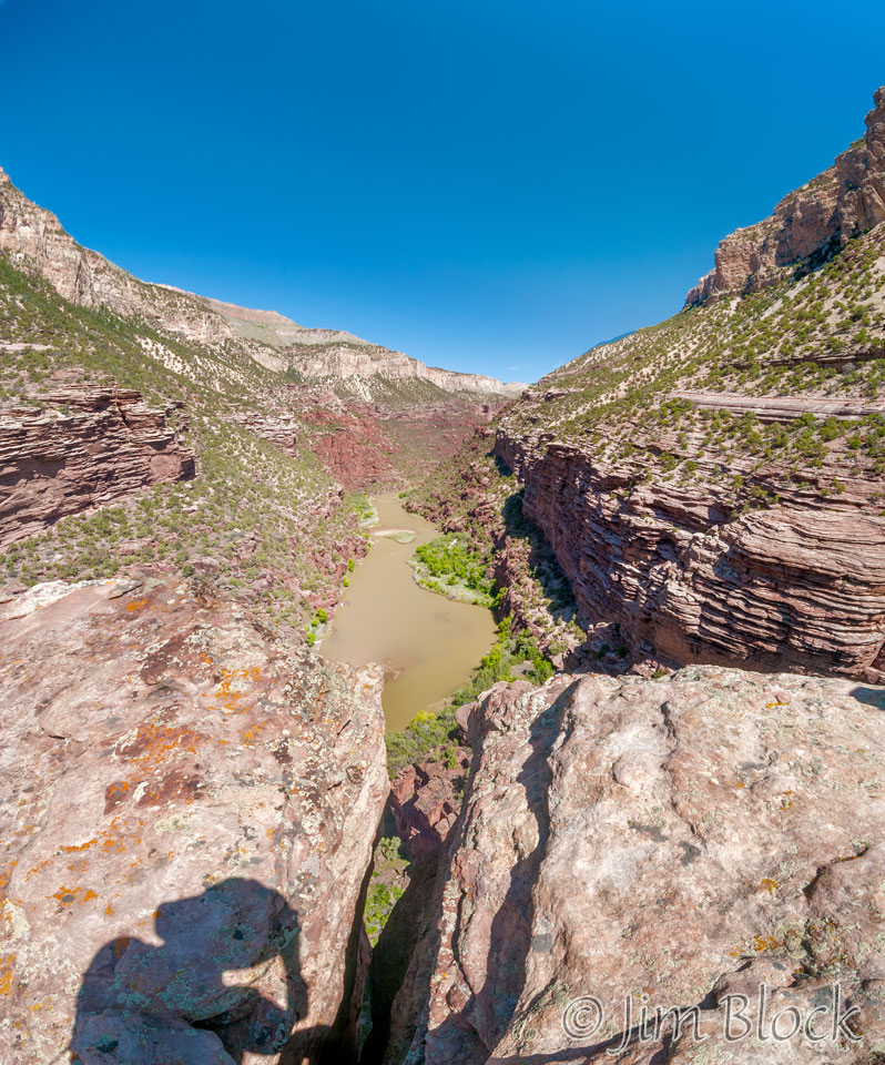
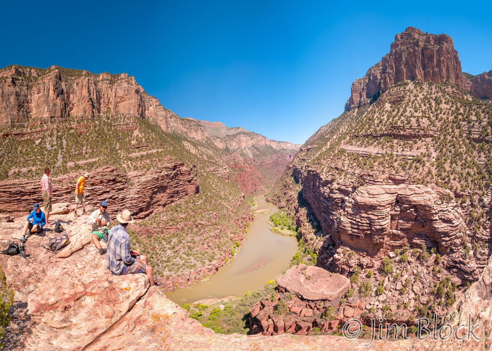
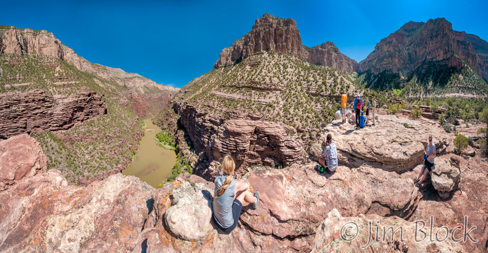
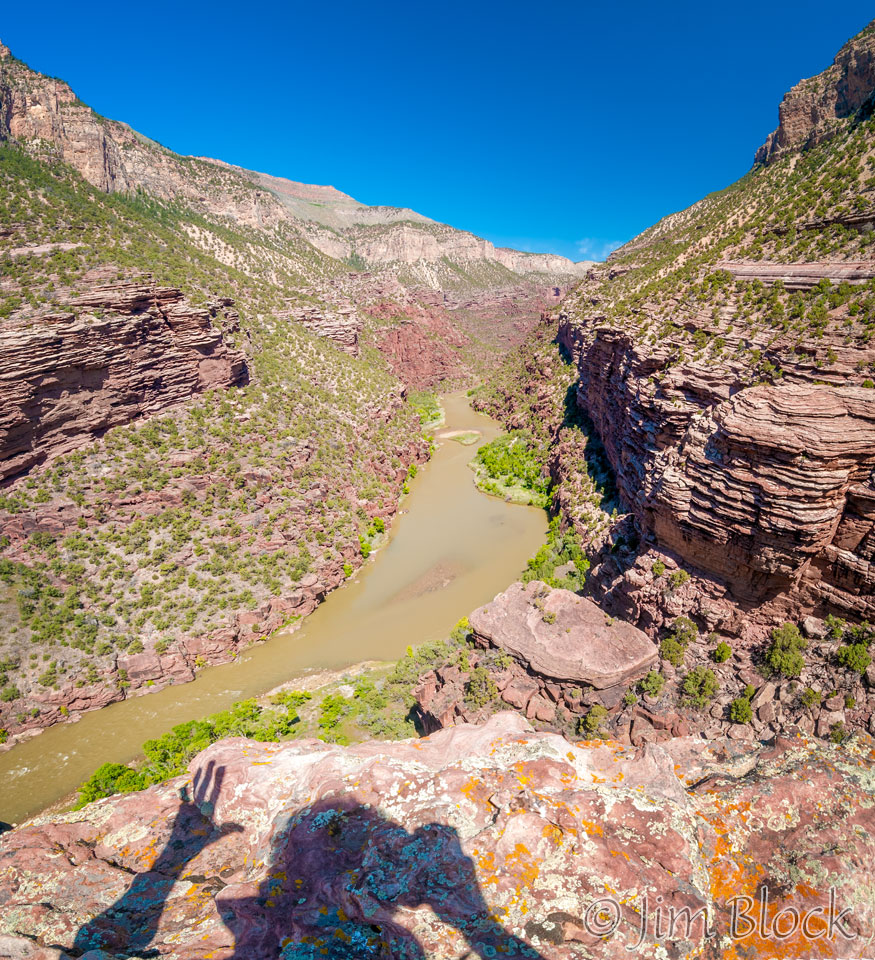
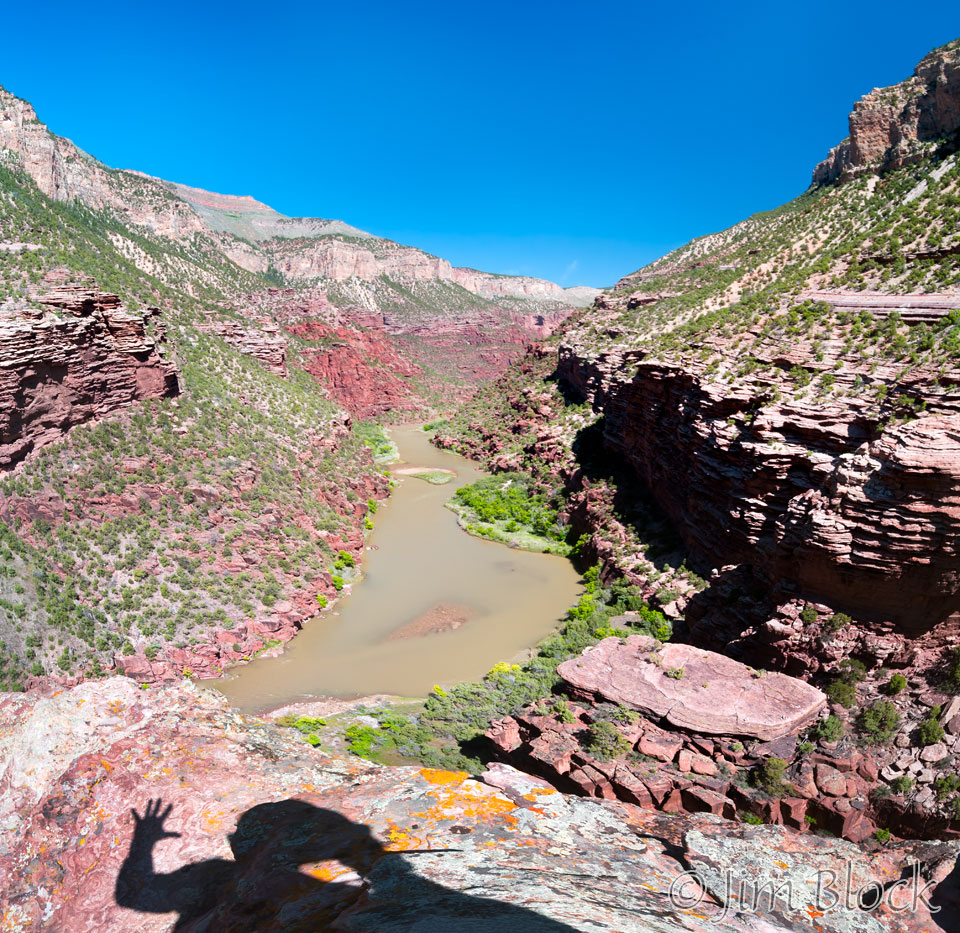
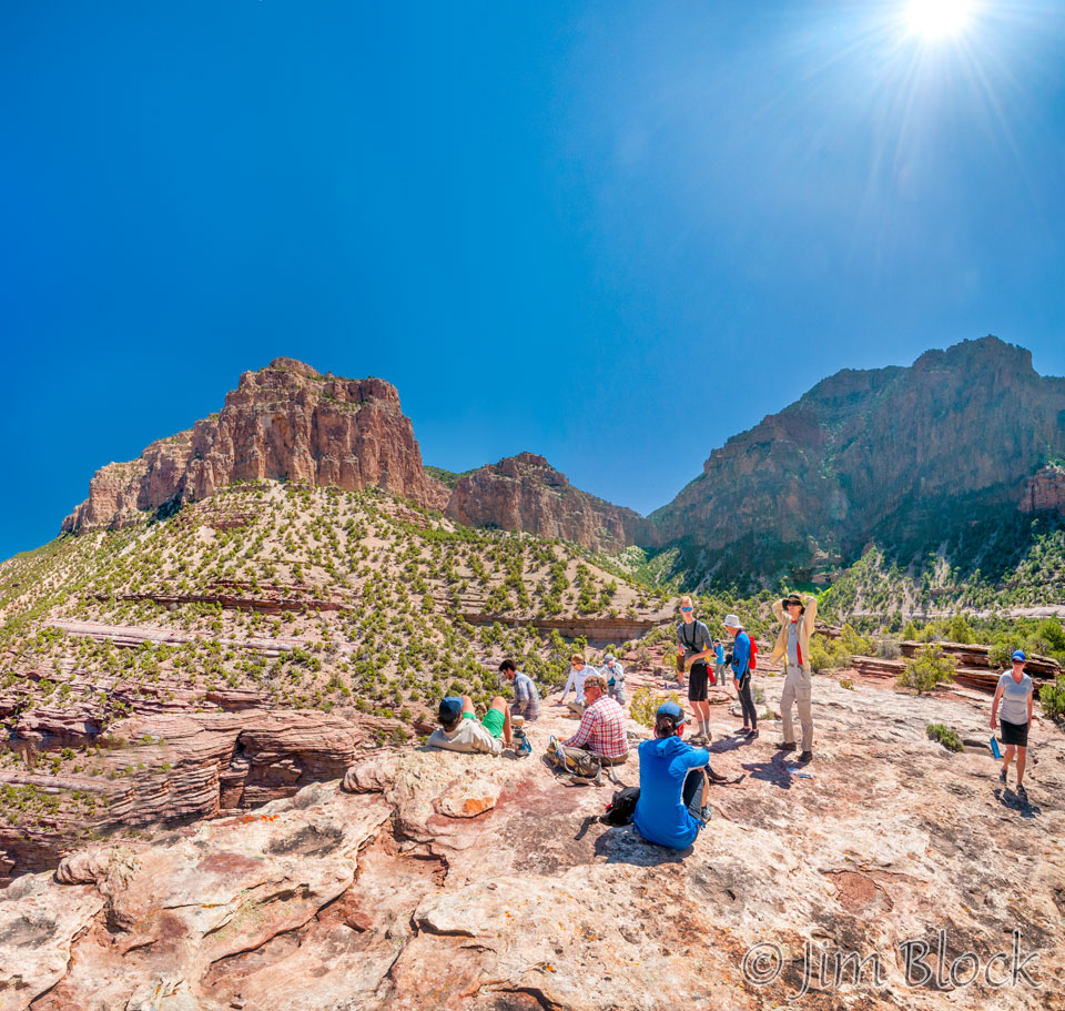
We stopped at the very interesting Limestone Draw for a hike to a spectacular viewpoint over the Green River.
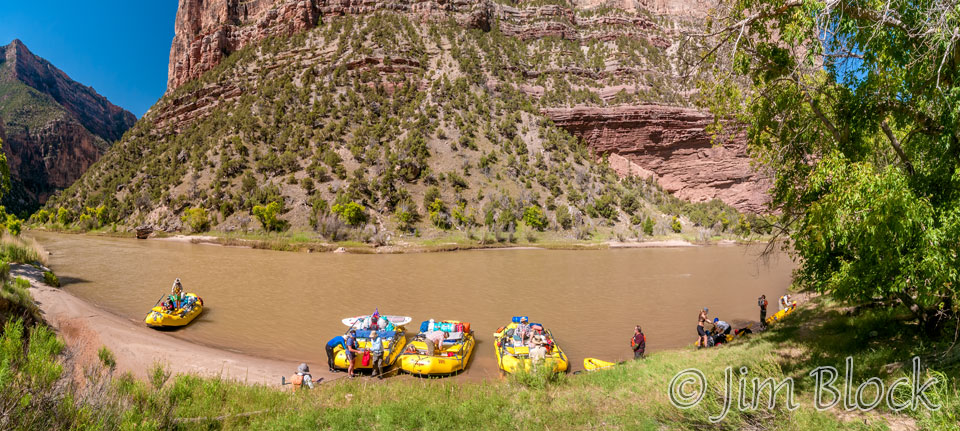
This was the view looking downstream from a short distance up the trail.
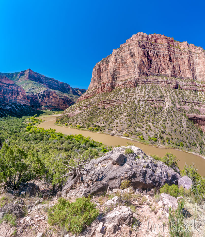
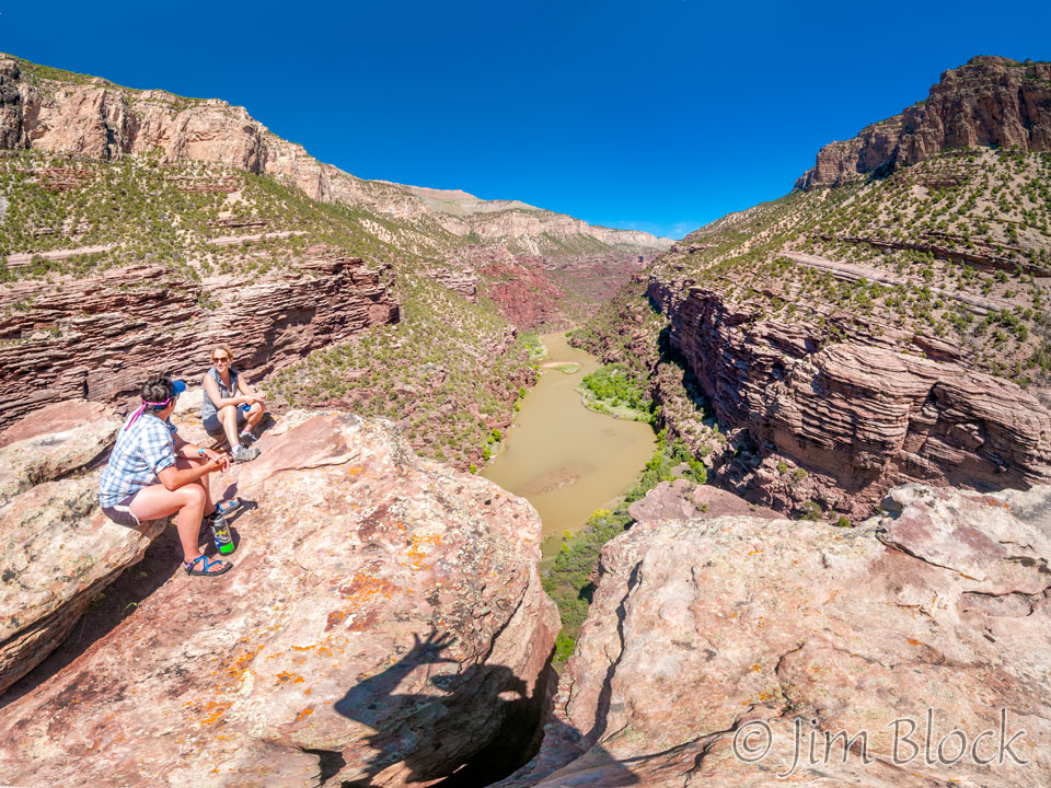
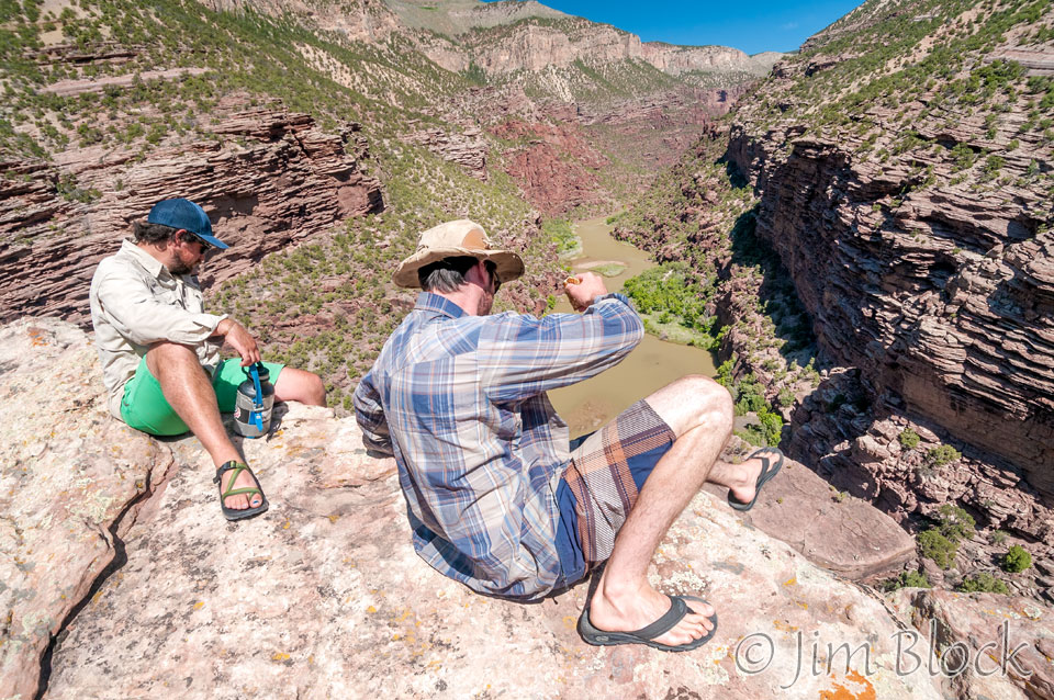
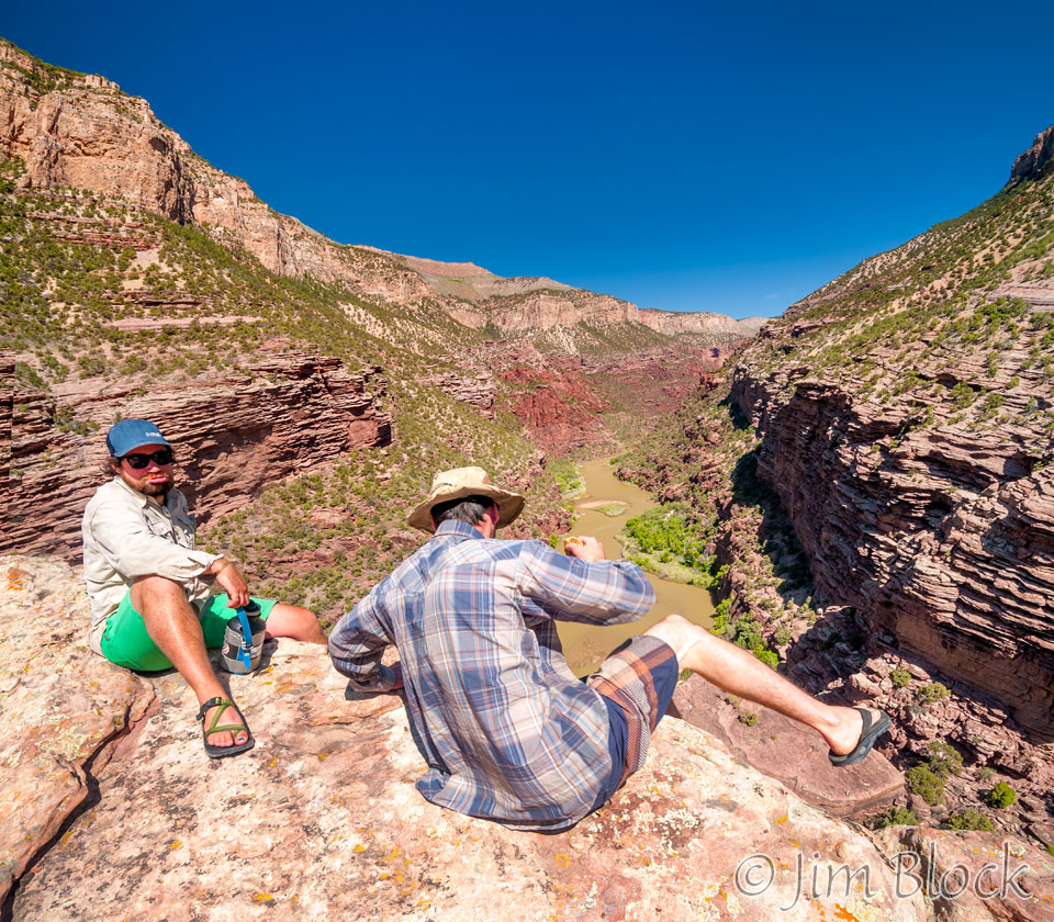
The view from the ledge overlooking the Green River was dramatic.
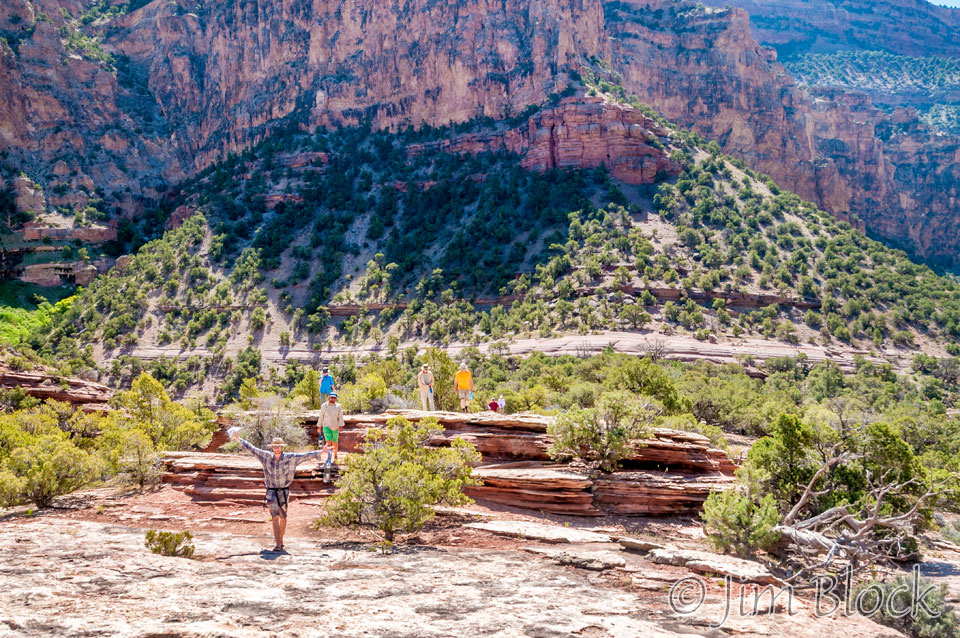
Below is Charlie considering stepping over to the rock ledge that you can see in the photo above. Andrew has his doubts.
Jennifer posed as close to the edge as she dared, and Heather found a bit of shade.
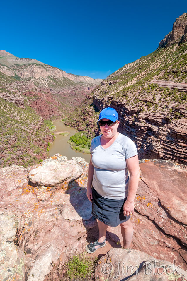
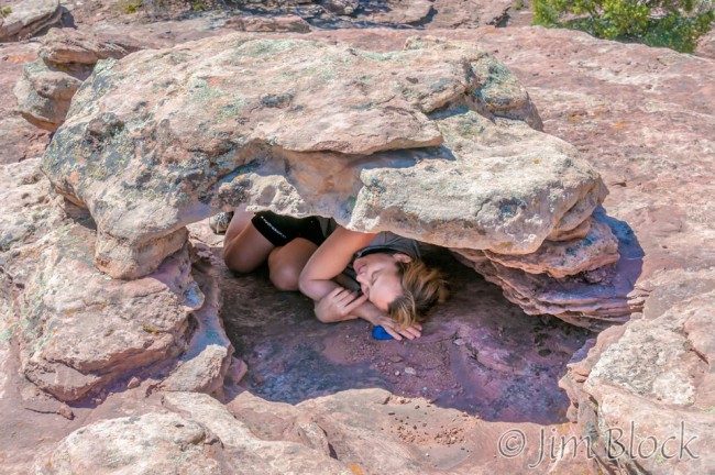
The Limestone Draw Overlook is a special spot.
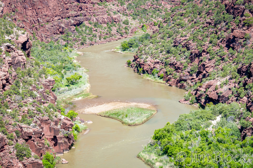
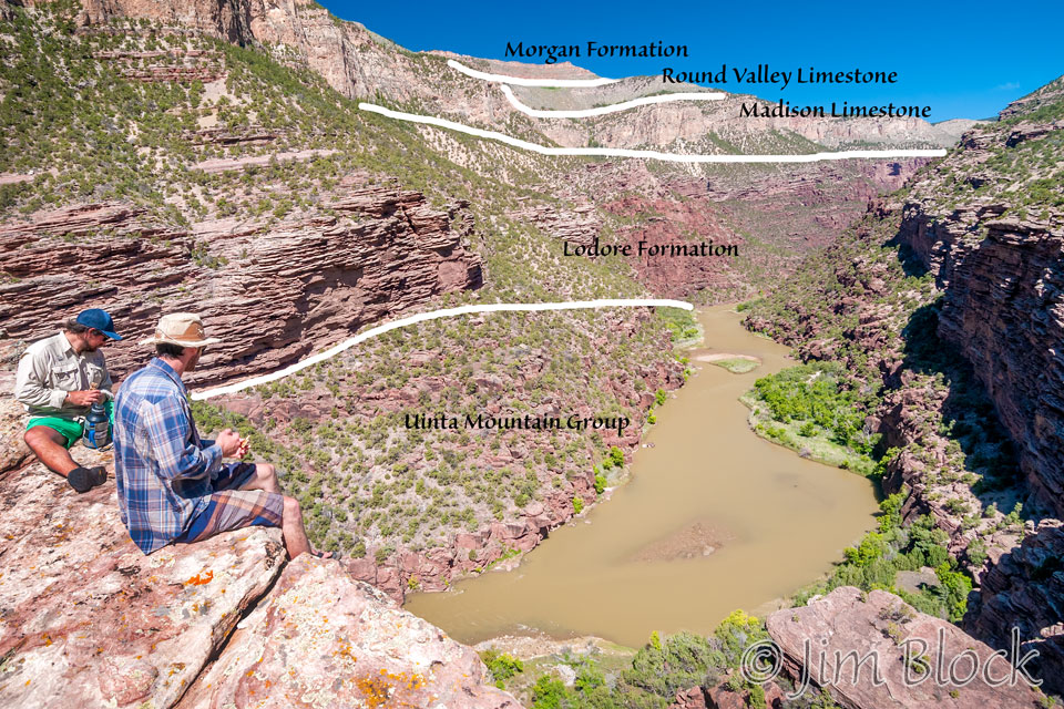
This was also the first place the Lodore Formation descended to the river level.
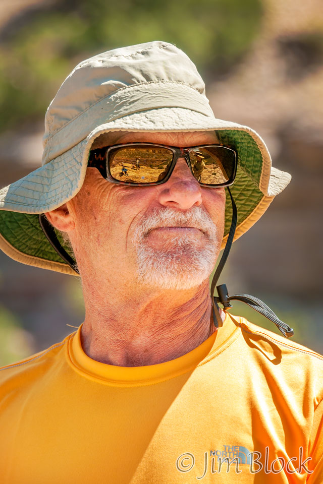
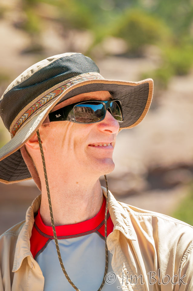
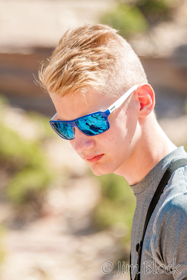
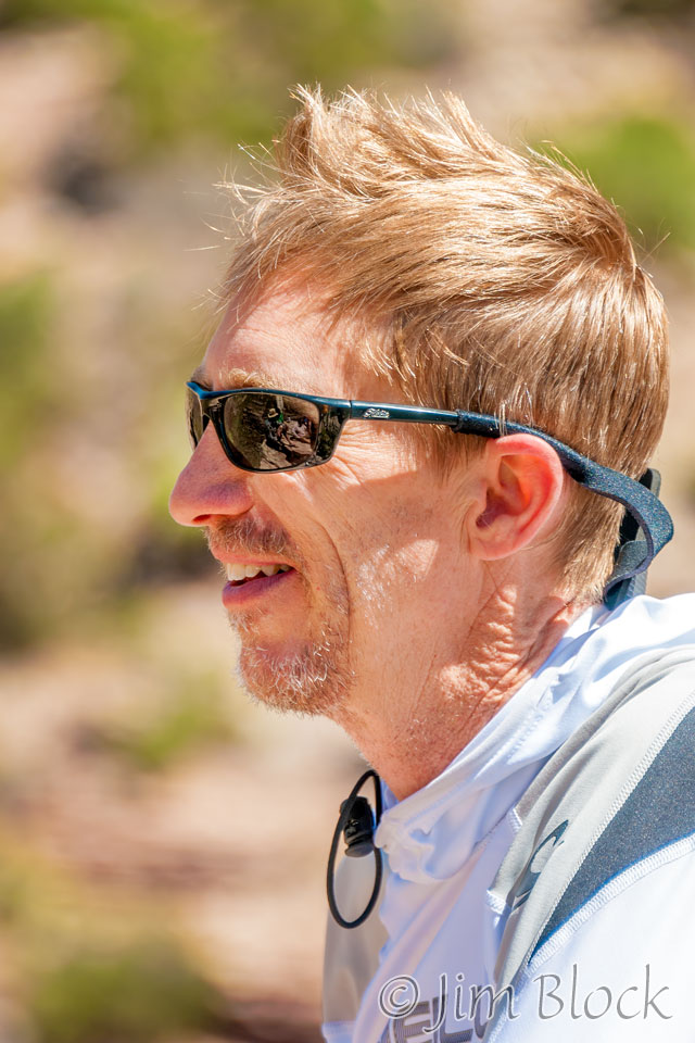
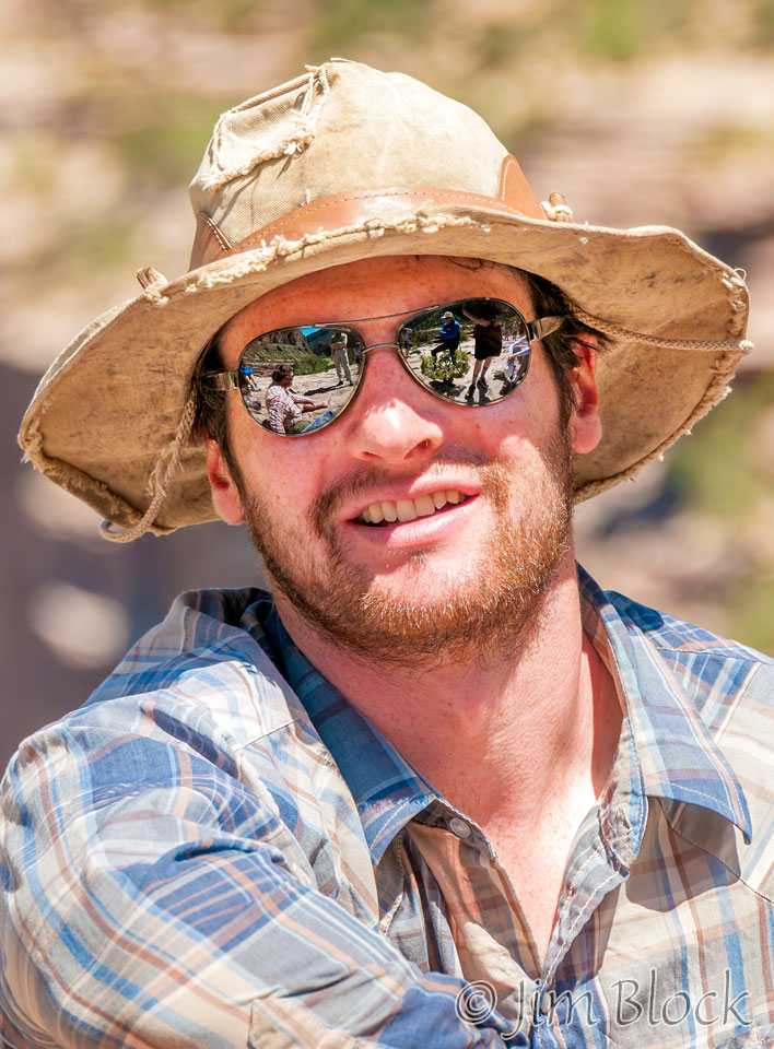
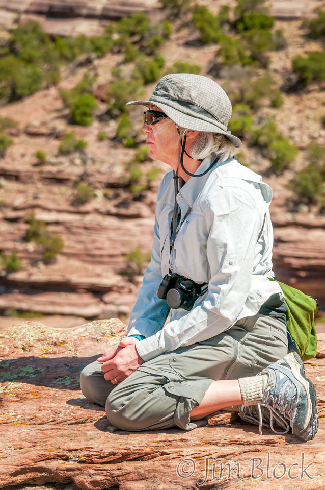
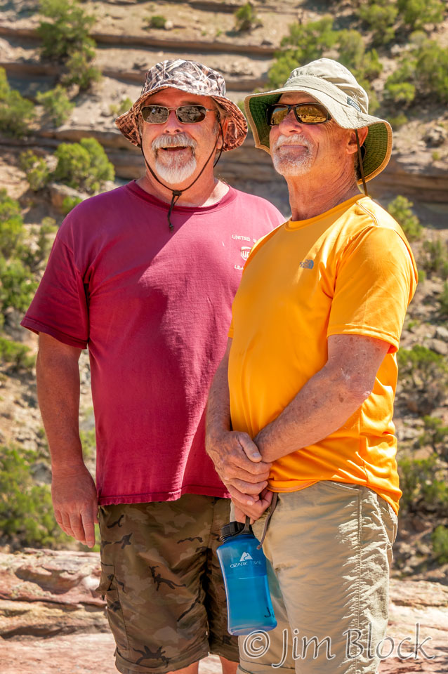
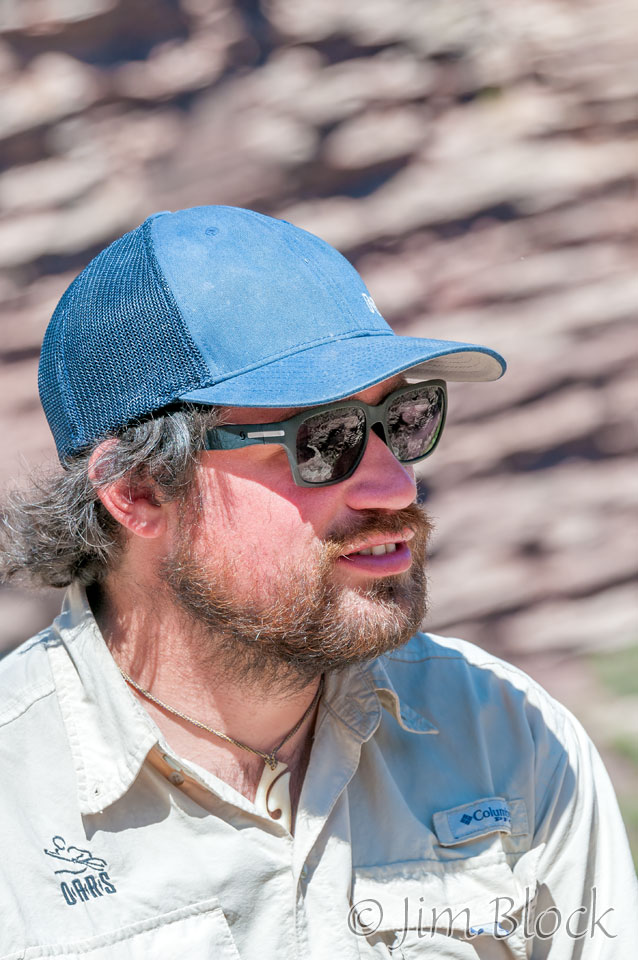
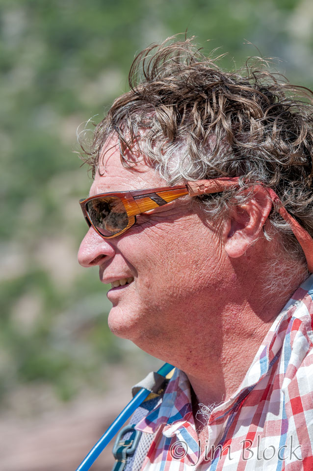
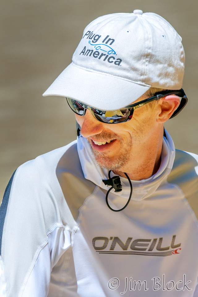
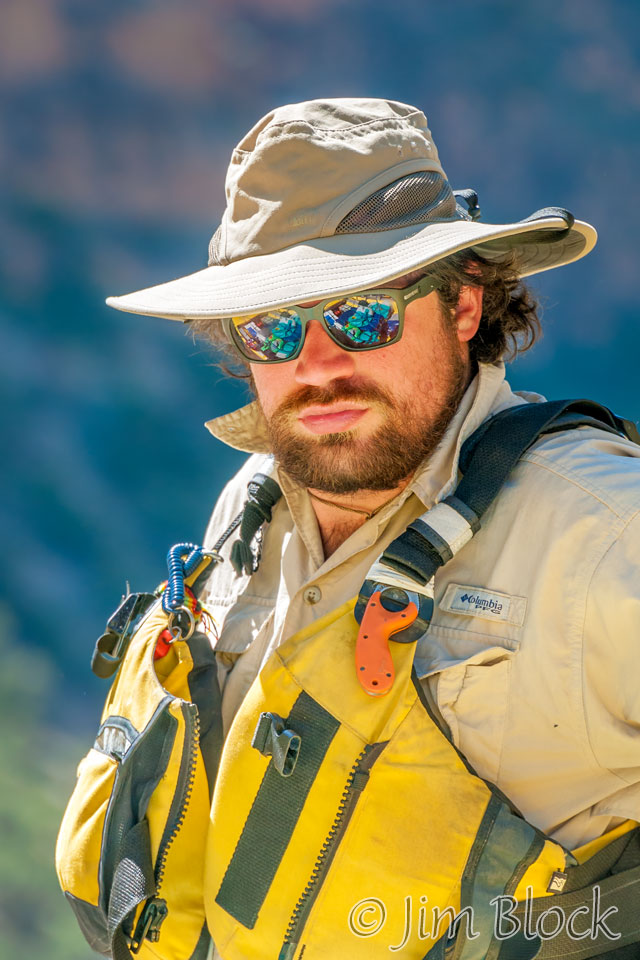
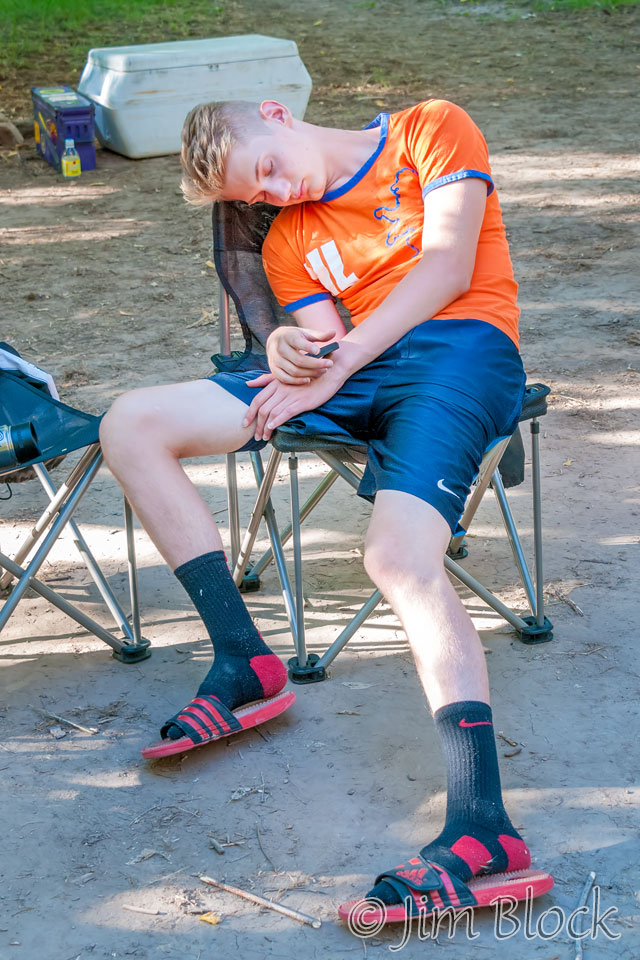
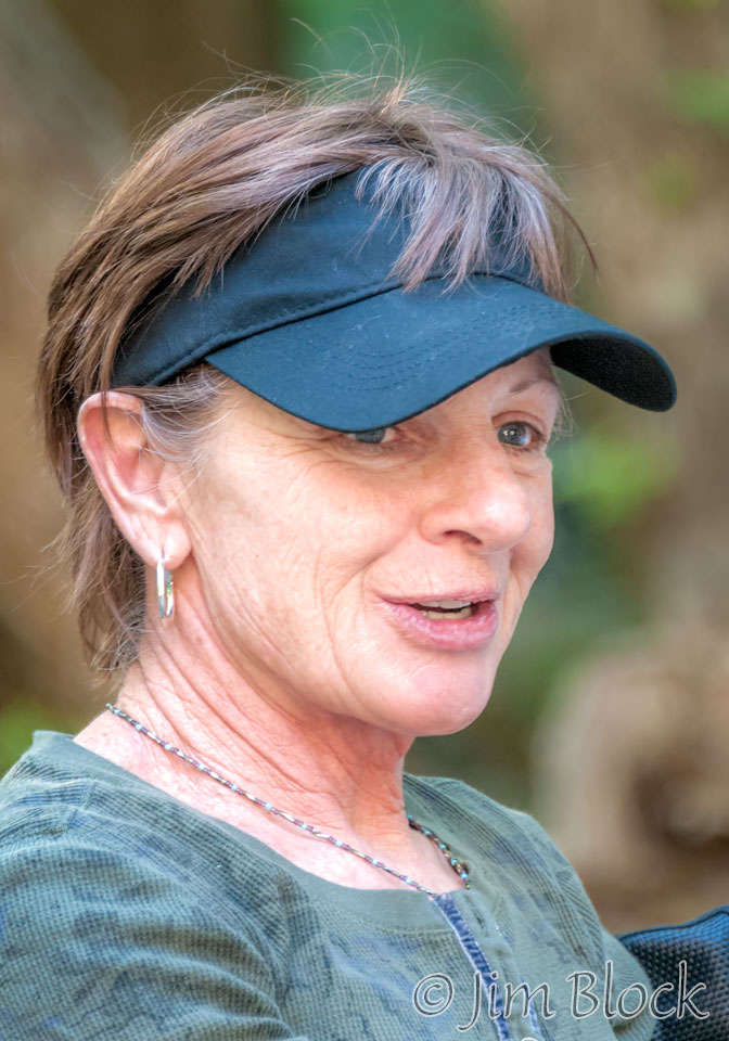
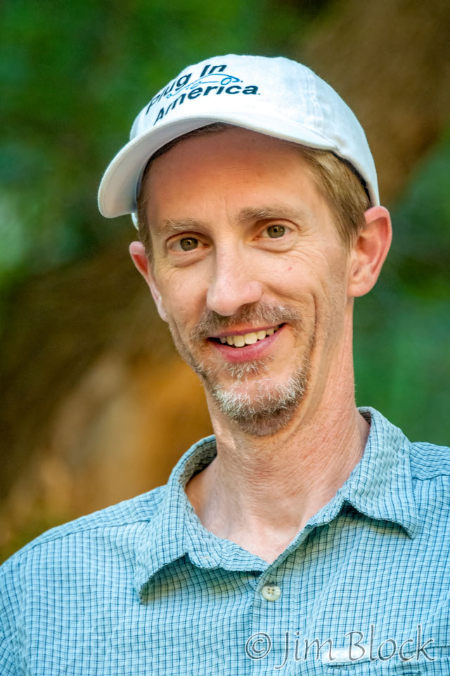
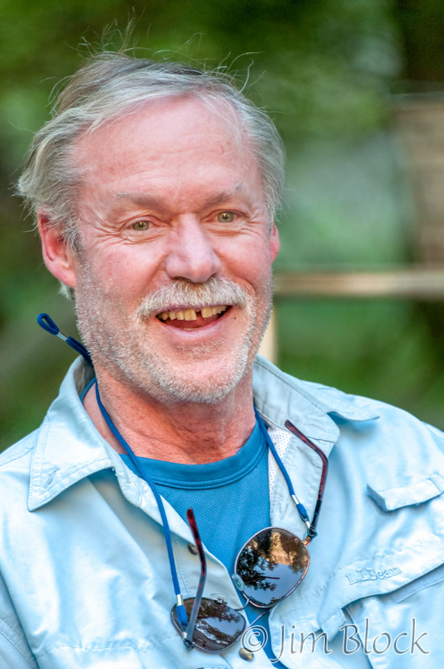
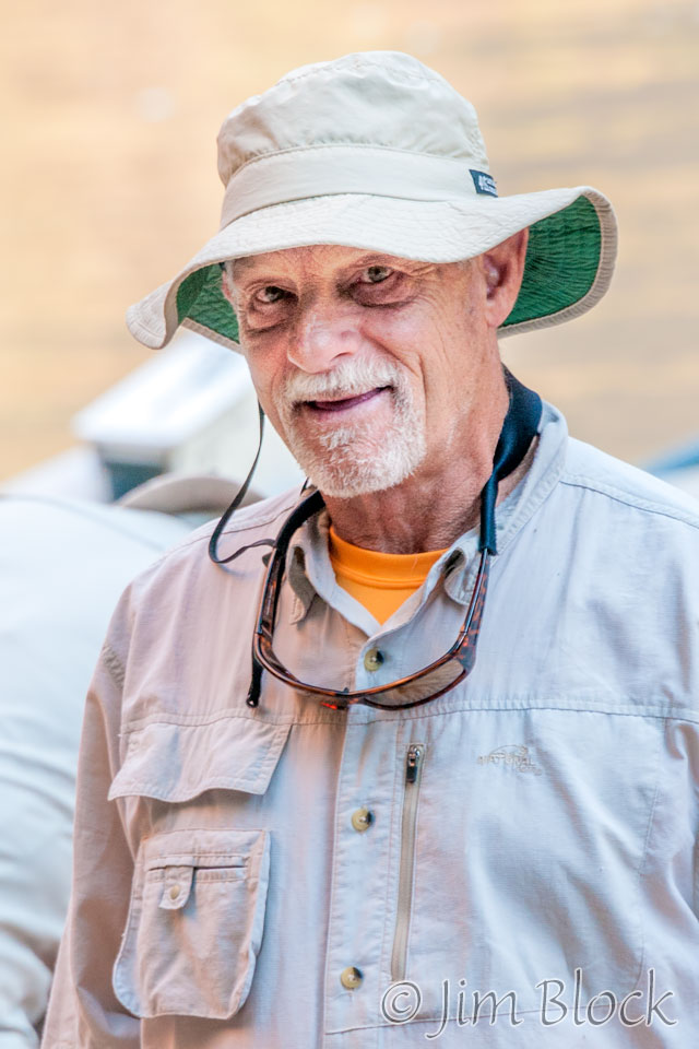
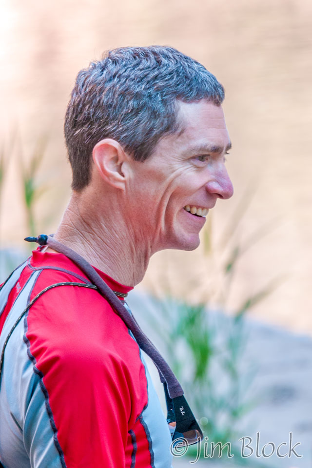
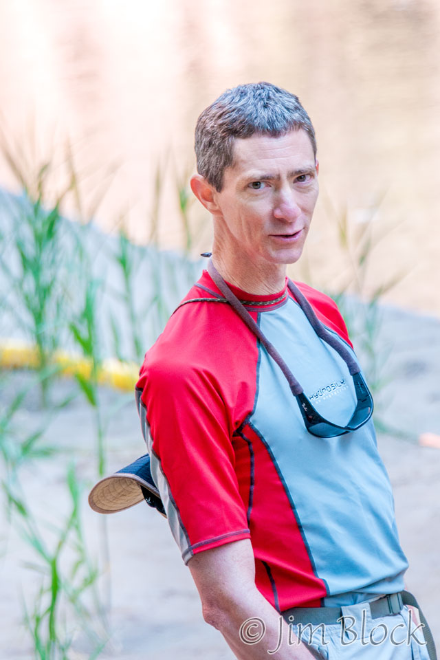
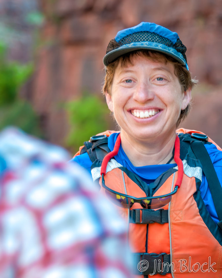
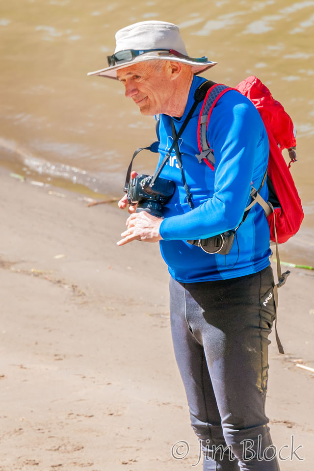
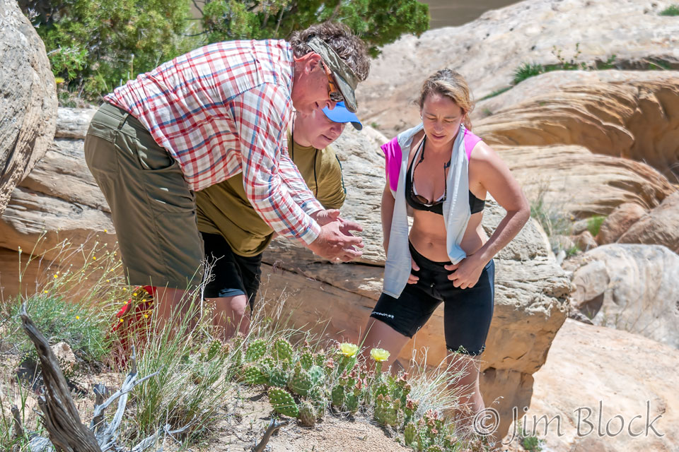
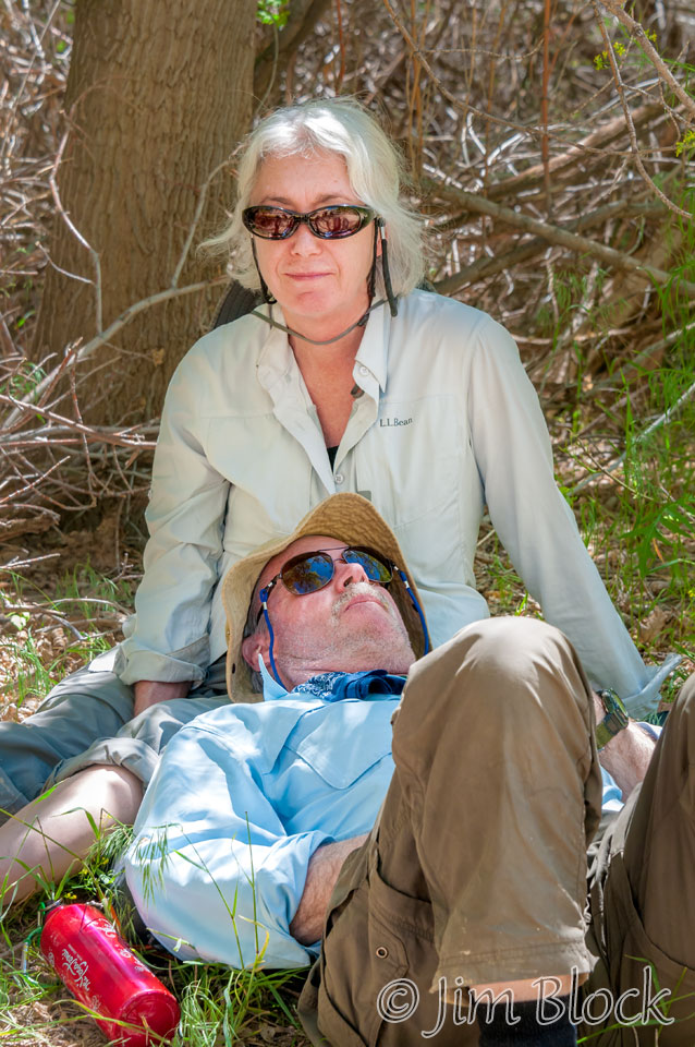
I used our short time at Limestone Draw to shoot some candids.
Hiking back, David seemed to be everywhere.
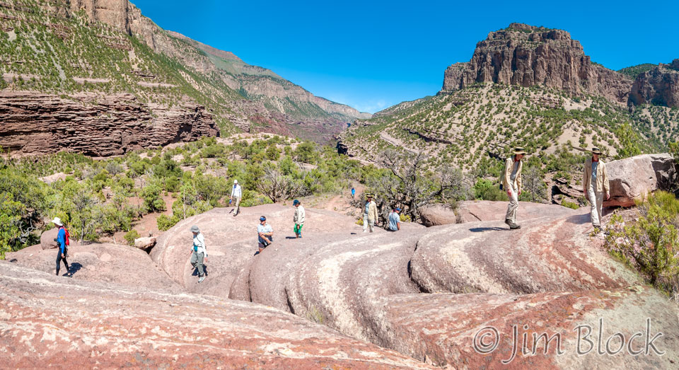
Almost down we could see the boats, and soon we would be off again.
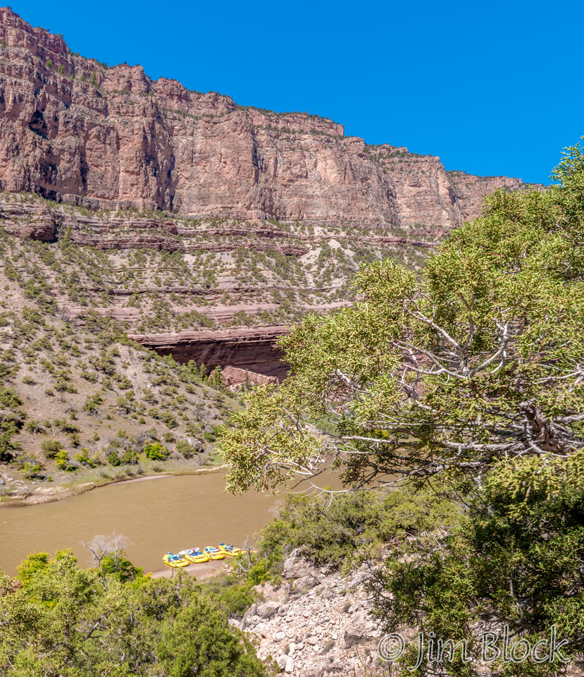
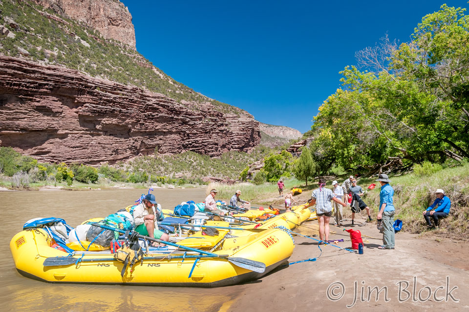
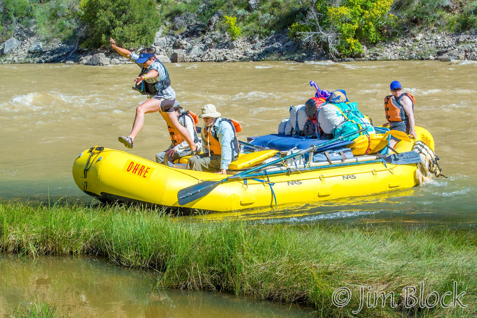
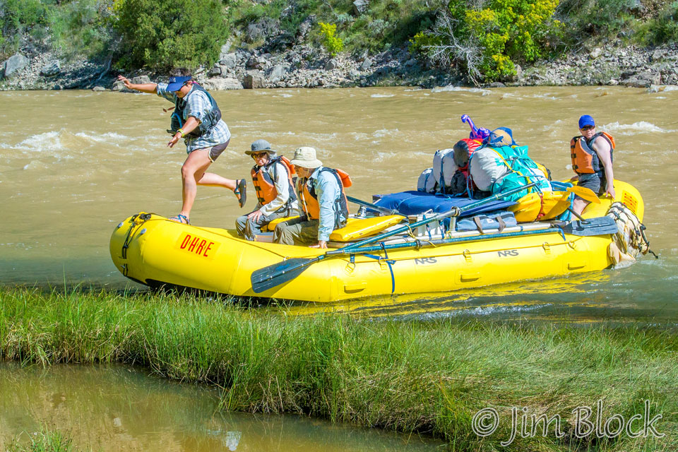
There were a few small rapids below Limestone Draw. One was enough to have Dan kneeling on the standup paddleboard.
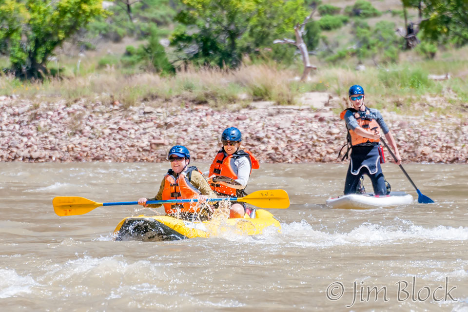
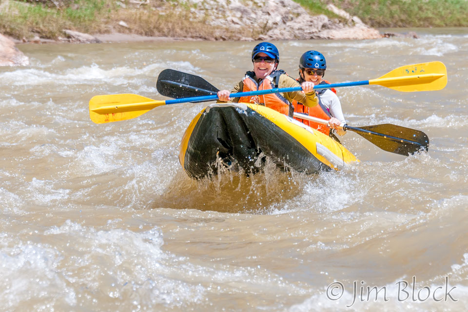
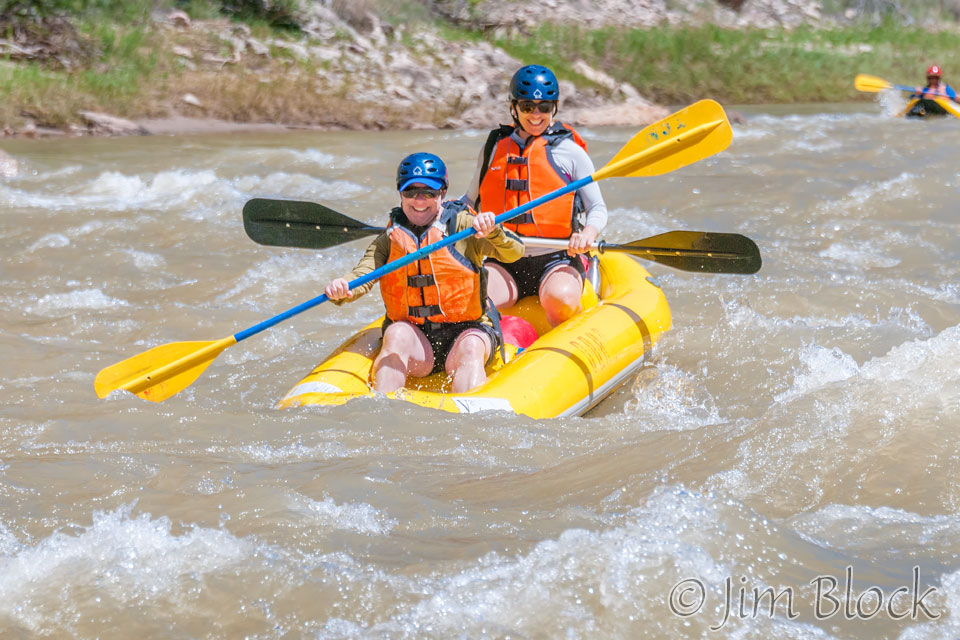
And Jennifer and Heather made the most of the last rapids before we merged with the Yampa.
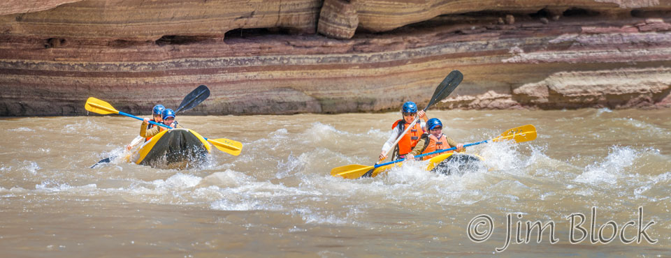
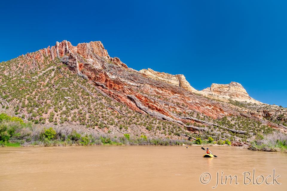
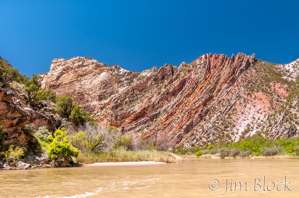
Approaching the last bend in the Green River before the Yampa joins it, we got some nice views of the Mitten Park Fault. A hermit, Pat Lynch, lived just ahead in the Echo Park area. He would graze his horse, Mitten, in an area just below that. So the area was called Mitten Park. The fault can also be seen clearly from the other side of Steamboat Rock from the Mitten Park area.
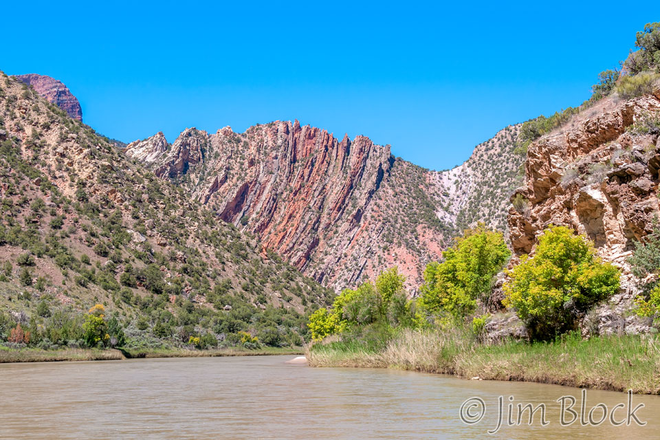
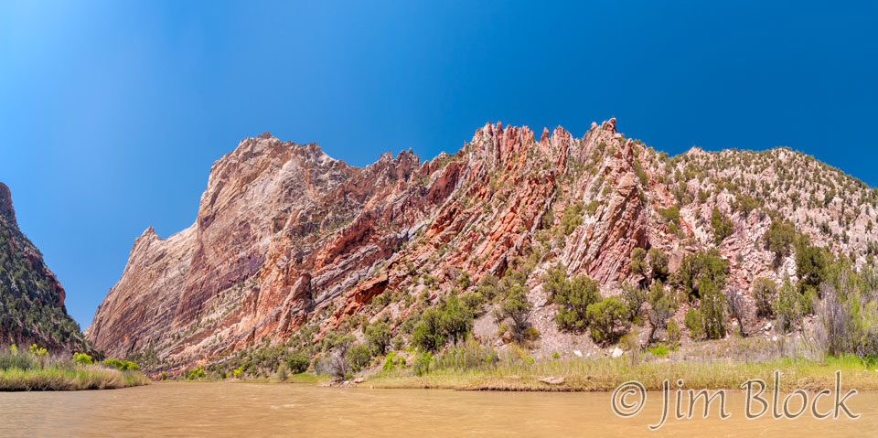
The Mitten Park Fault can be clearly seen from Harper’s Corner, a beautiful spot we hiked to on our free day between the two river trips. At the bottom of the photo below is Mitten Park. Above that flat area and on the left side is the Fault. Above it you can see the Green River and the last bend from where the above photos were taken. Stretching to the right of the Fault is Steamboat Rock. Out of view beyond its dramatic end is Echo Park where we had lunch. The Yampa River can be seen above Steamboat Rock. The next series of photos were taken on the other side of Steamboat Rock near where the Yampa joins the Green.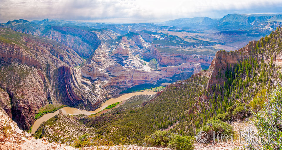
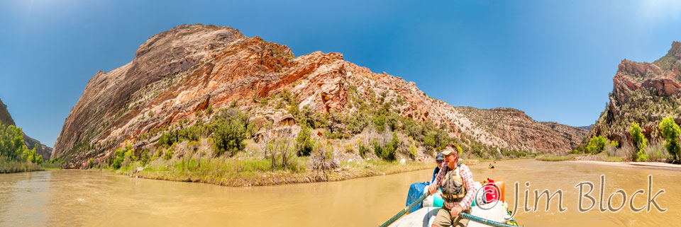
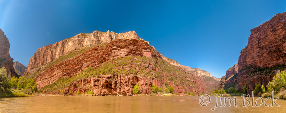
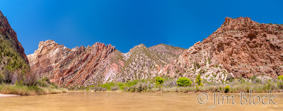
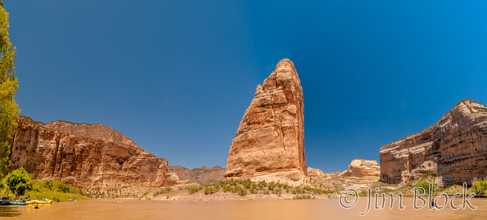
The image below is a 13-shot panorama as we approached the mouth of the Yampa. It is a bit misleading because this is a 180 degree view looking both downstream (left) and upstream (right) on a relatively straight section of the Green River at around Mile 225.5. Stretching to the left in this photo is Steamboat Rock.
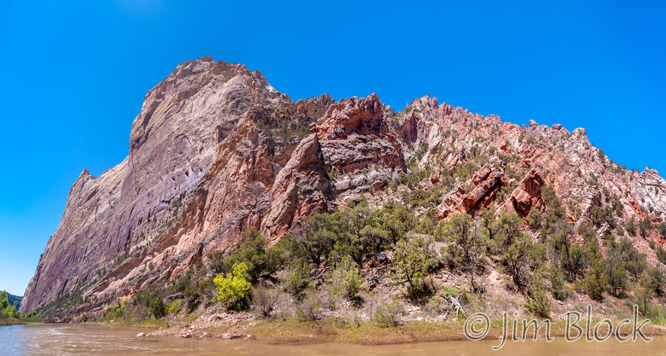
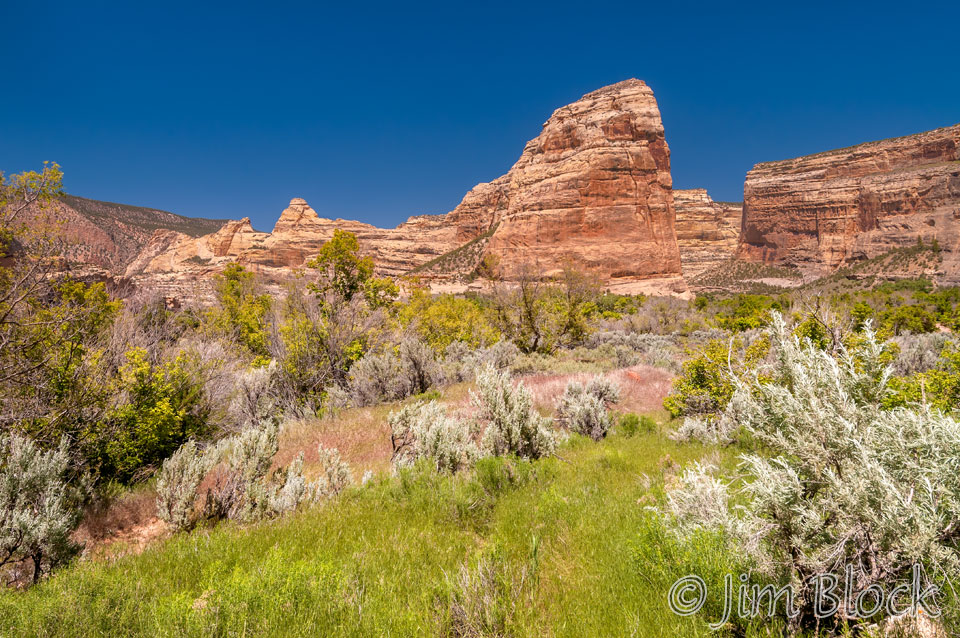
Here are two views of Steamboat Rock from the Green River. Our lunch spot in Echo Park is beyond the extreme left side of these photos out of view.
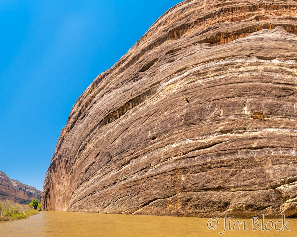
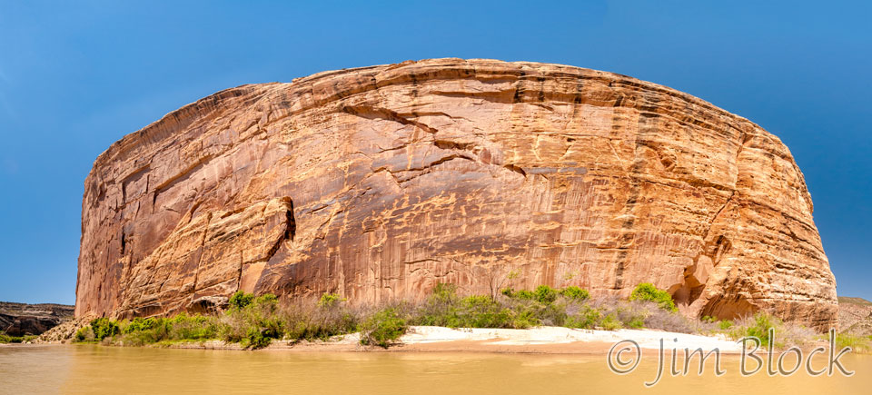
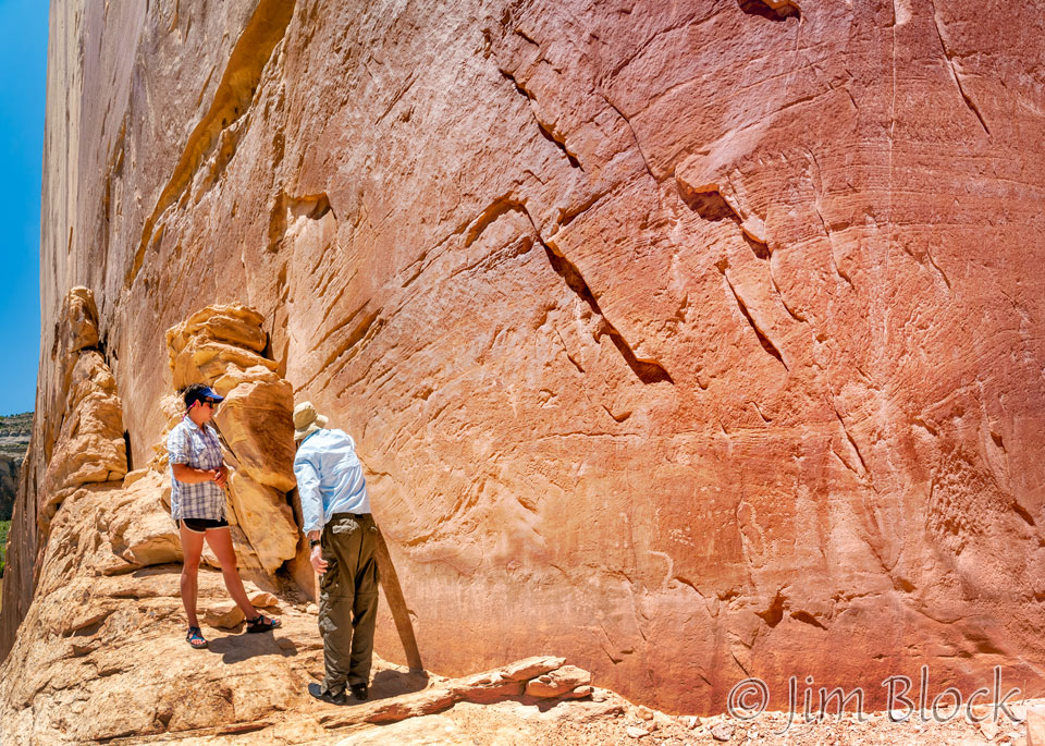
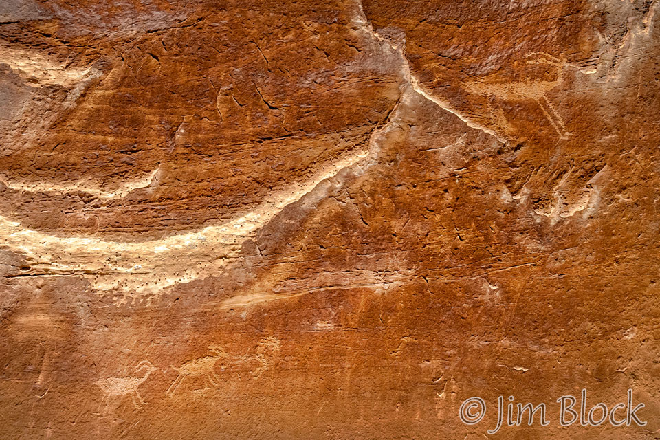
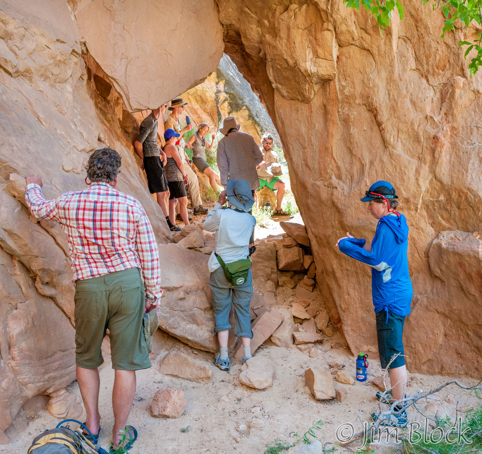
We landed on the side of Steamboat Rock and hiked up to see some petroglyphs.
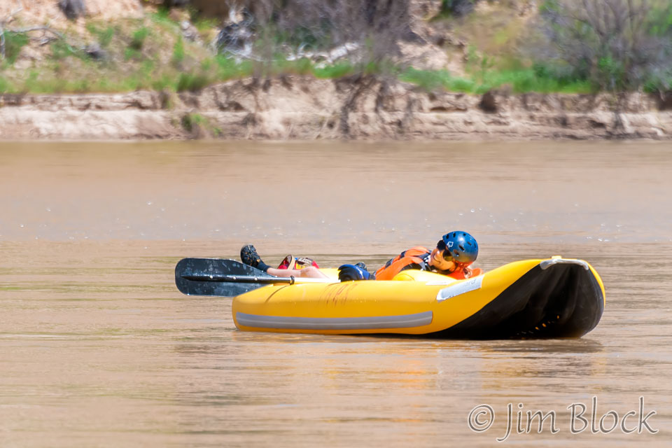
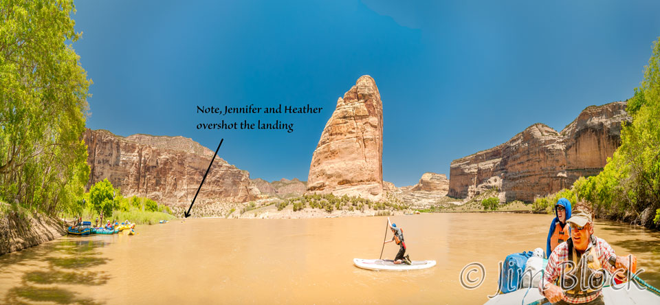
As we approached our landing at Echo Park, Jennifer and Heather got swept well downstream and had to struggle to get back to us. In this photo you are looking right at the end of Steamboat Rock.
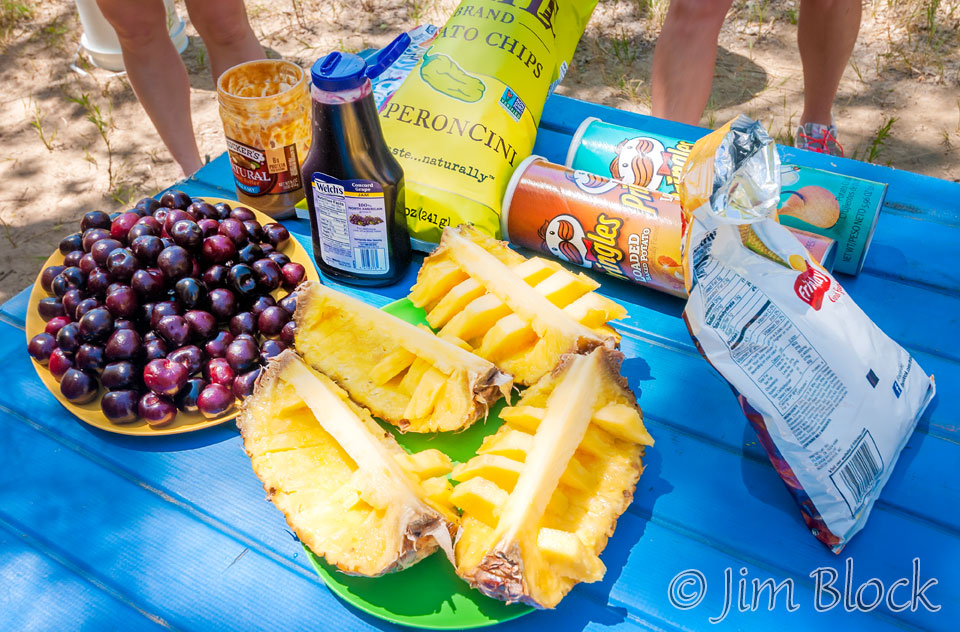
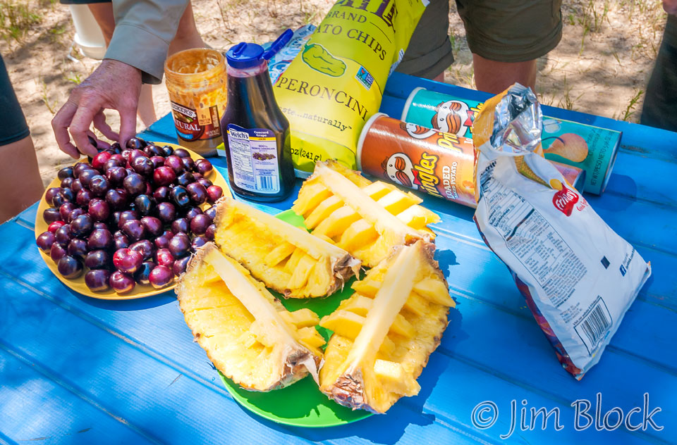
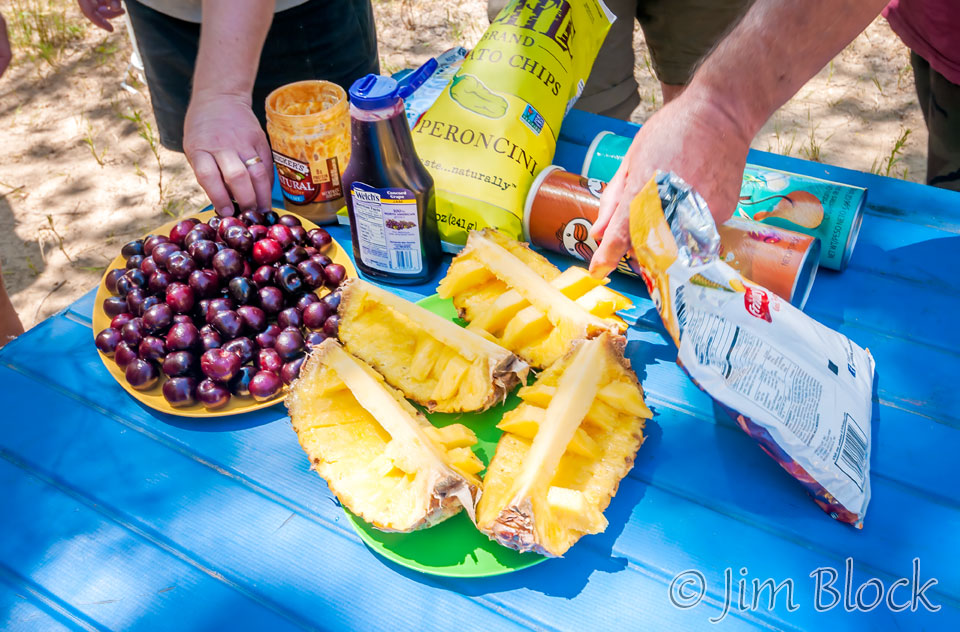
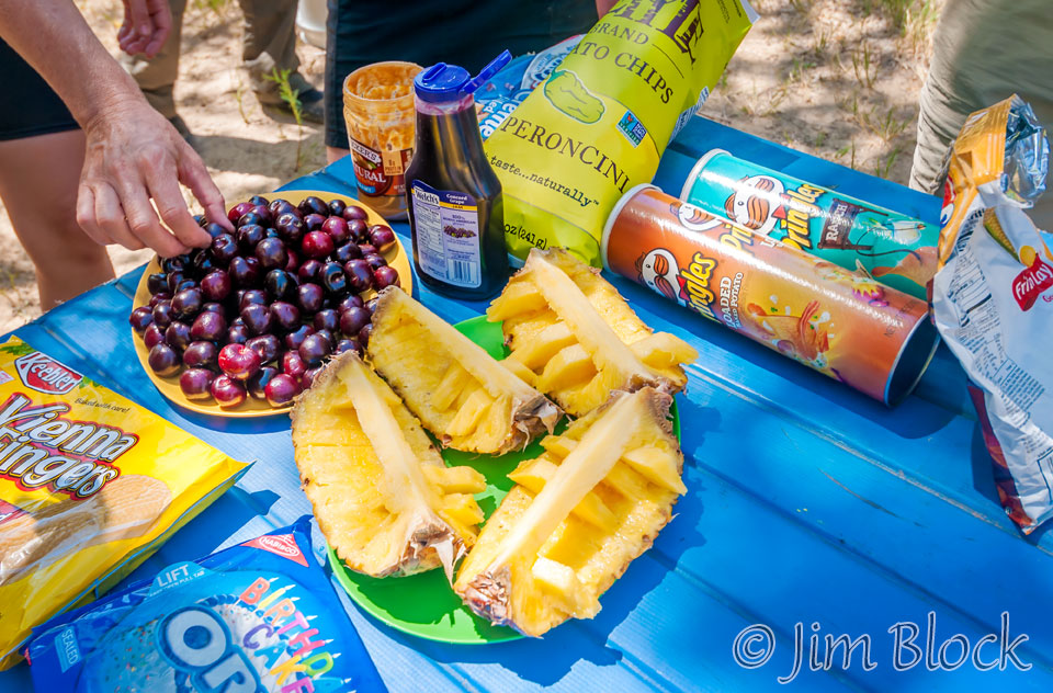
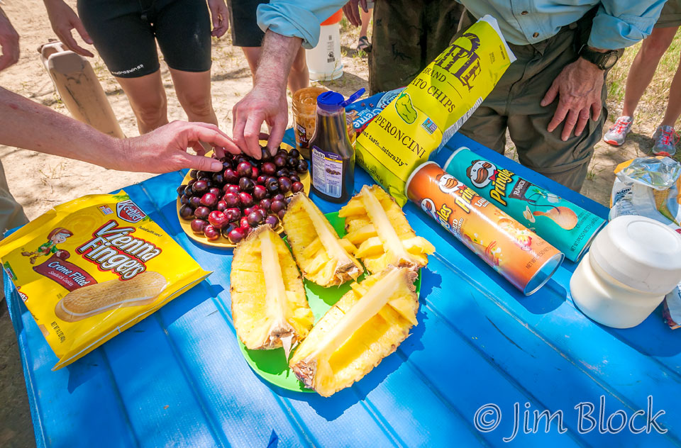
The pineapple went fast while we waited for lunch, and the cherries and chips were not far behind.
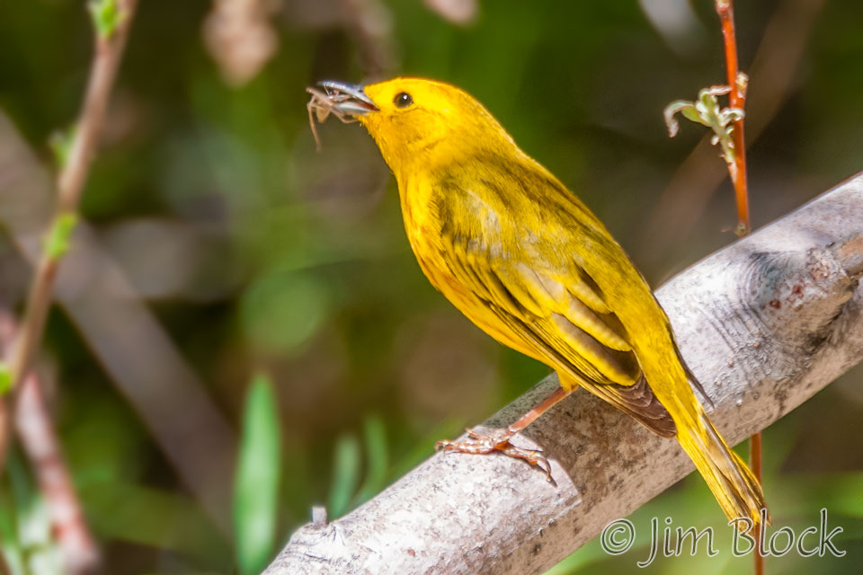
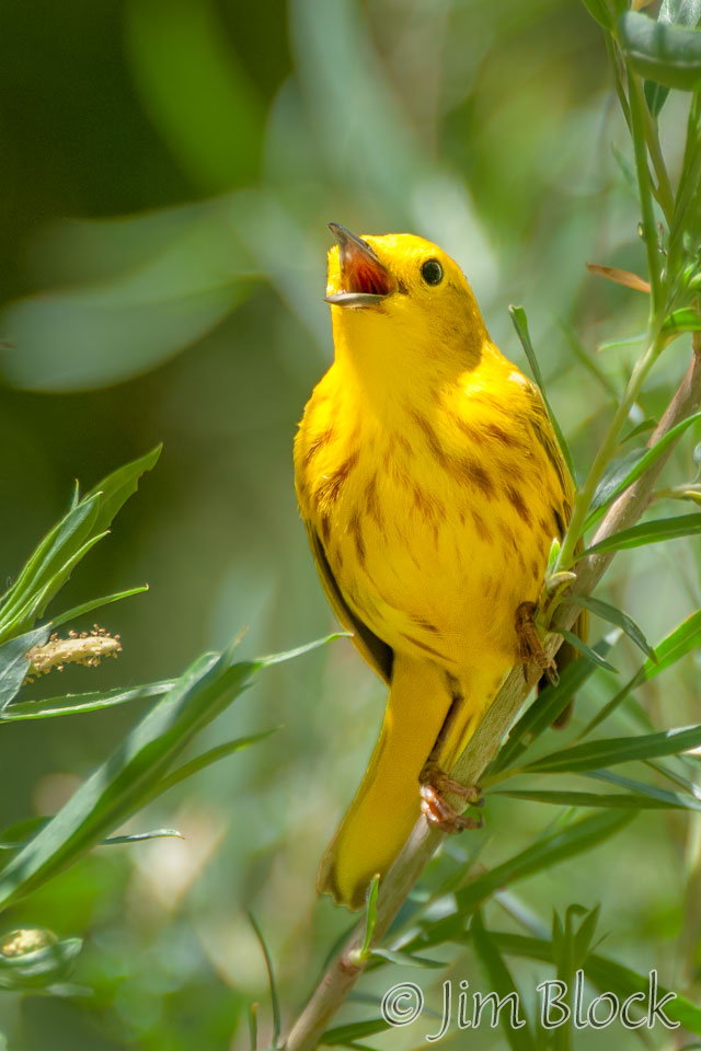
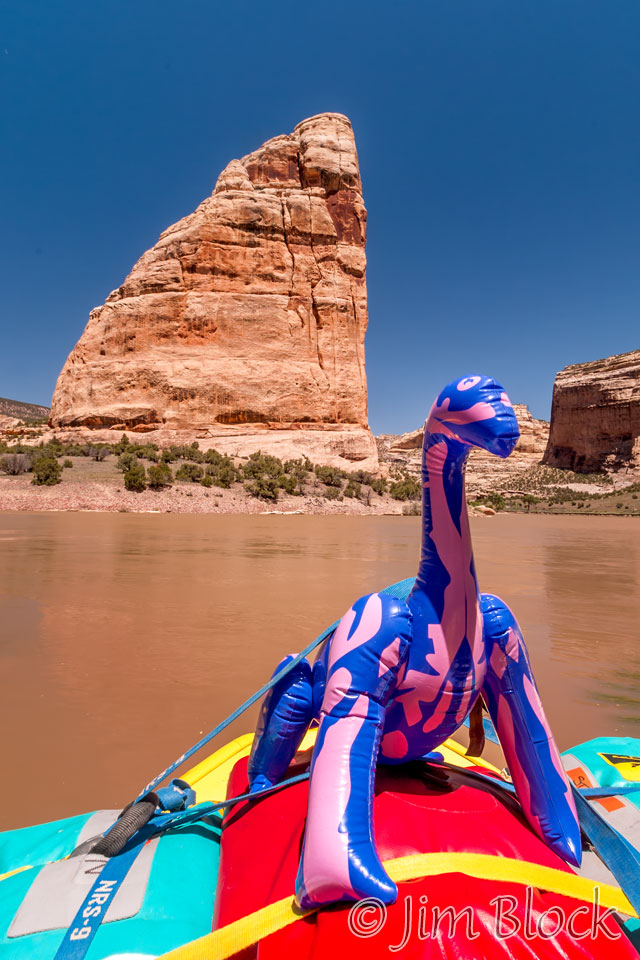
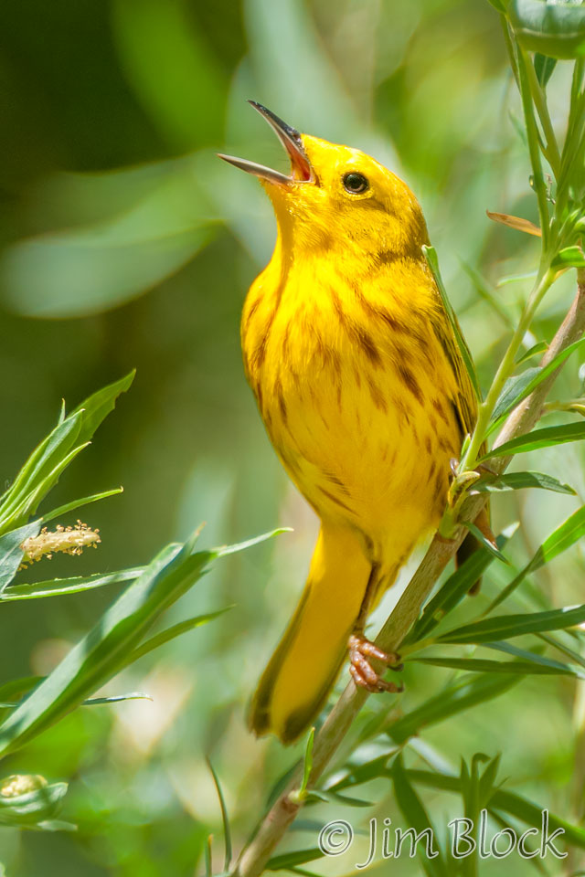
At our lunch spot I photographed our pet dinosaur and a singing yellow warbler.
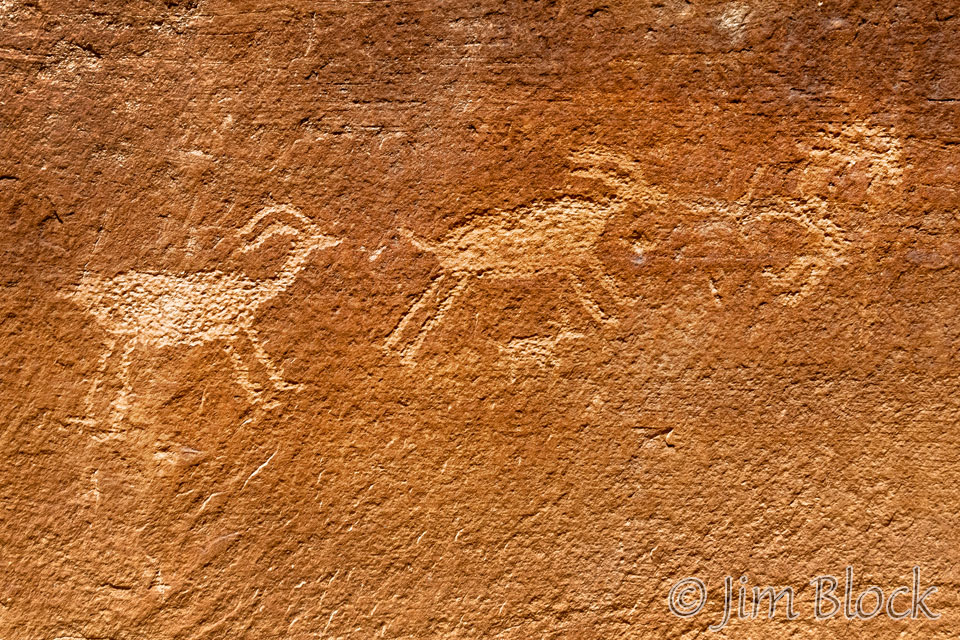
After lunch we hiked to view more petroglyphs.
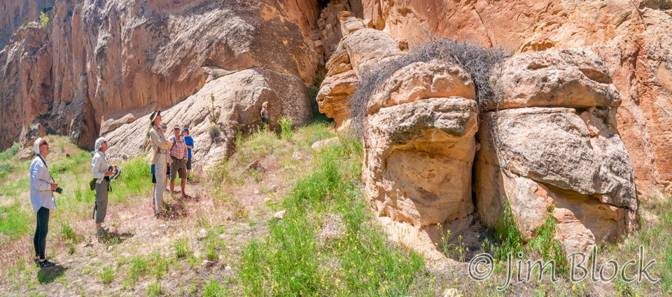
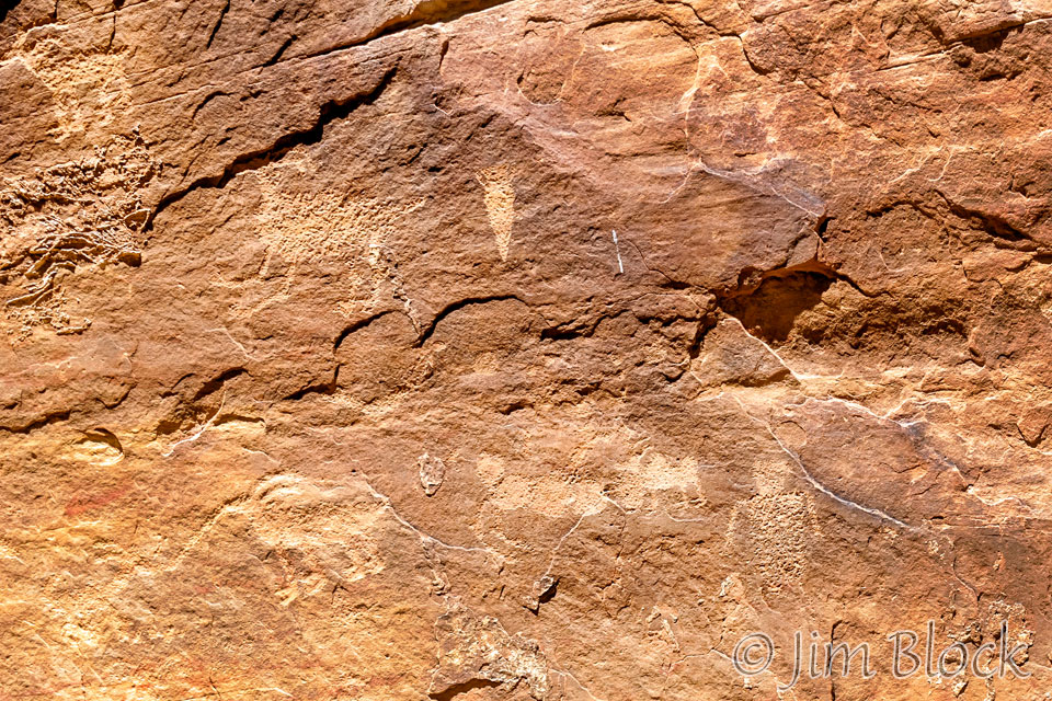
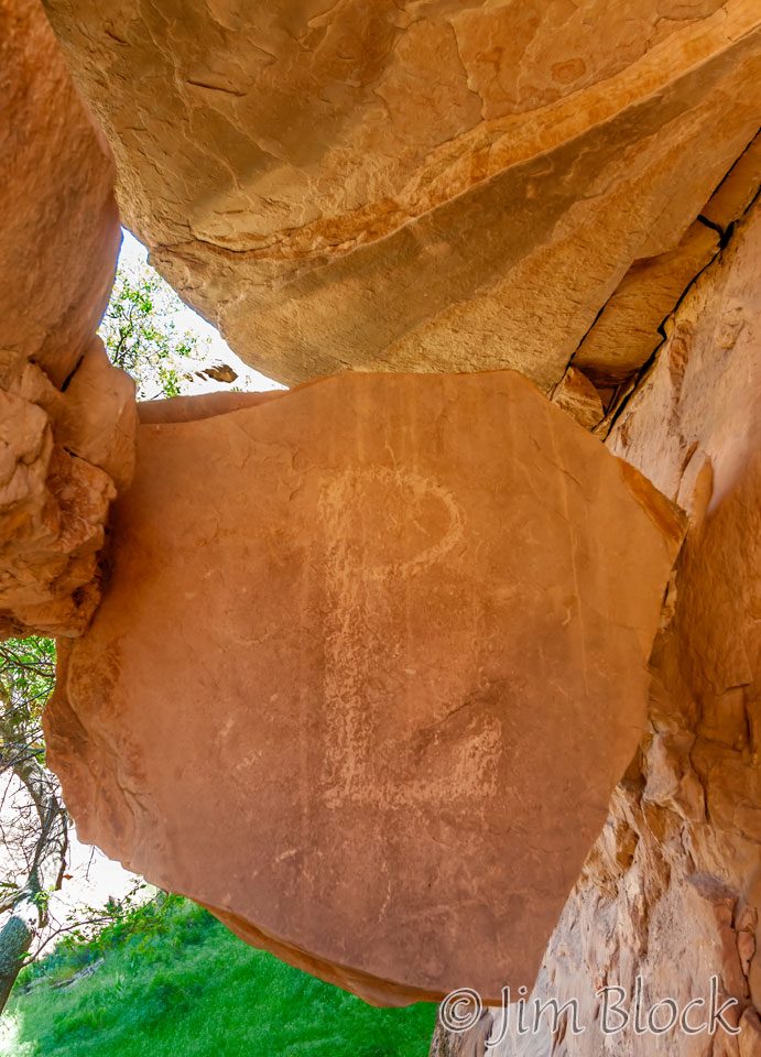
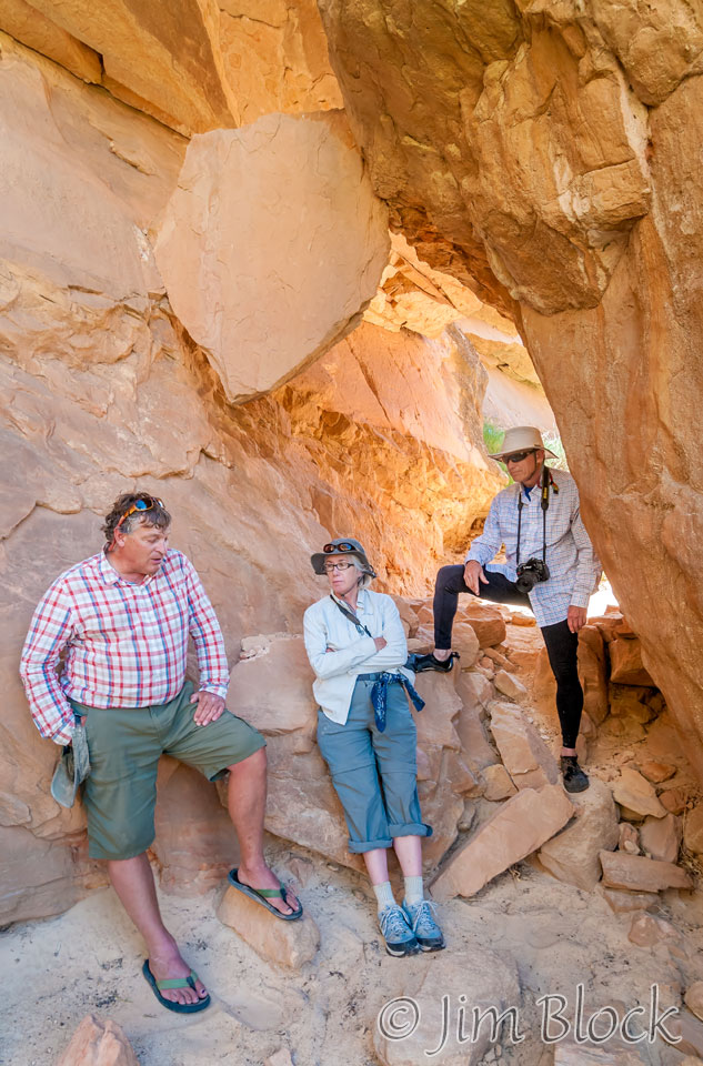
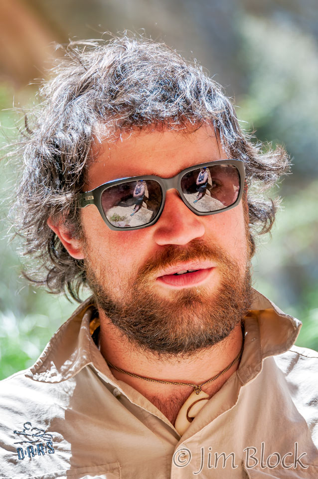
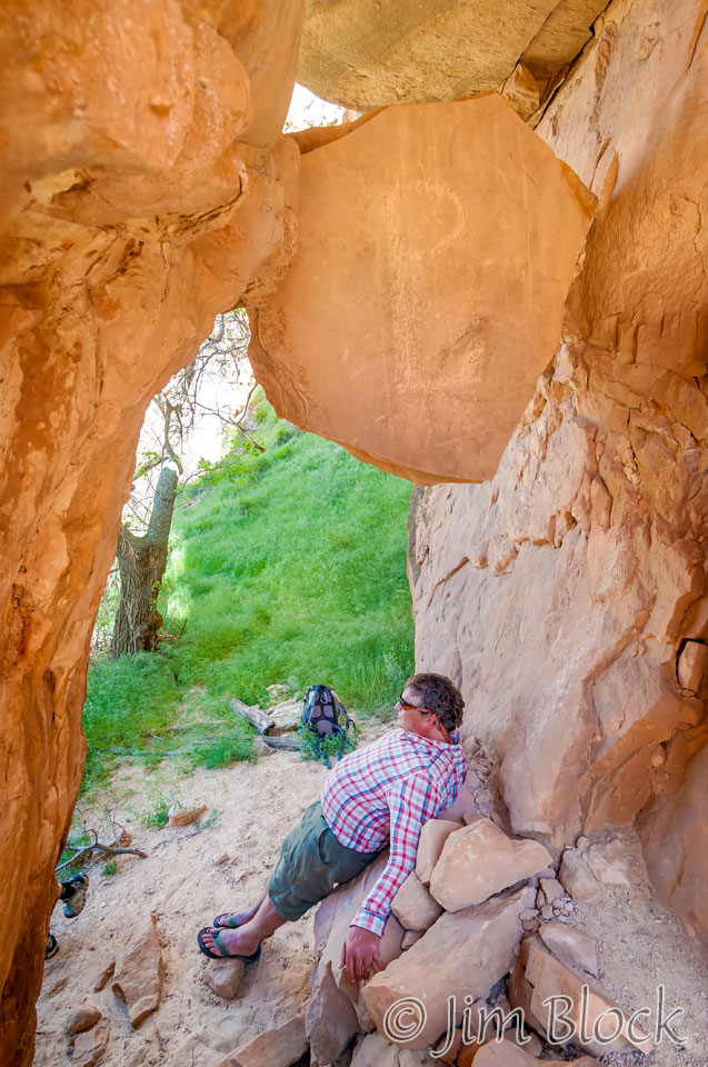
We then took a well-hidden path to get to the “Pat Lynch spot”. Pat Lynch is “Soggy Foot” Andrew’s favorite character, so he told us about this Irishman, Civil War Veteran, and hermit who lived in the caves and cabins of this part of Echo Park called by locals, “Pat’s Hole”. From the 1880s to 1917 he scavenged for food and ate jerked carrion. Pat would carve his combined PL into rocks as can be seen on this dramatic rock that split from the cave roof and lodged between the wall waiting for an unsuspecting Trip Leader to foolishly sit below it.
We left Echo Park around 3:20 pm. If we would have stayed much later Steamboat Rock might have looked like this as the sun got low in the sky.
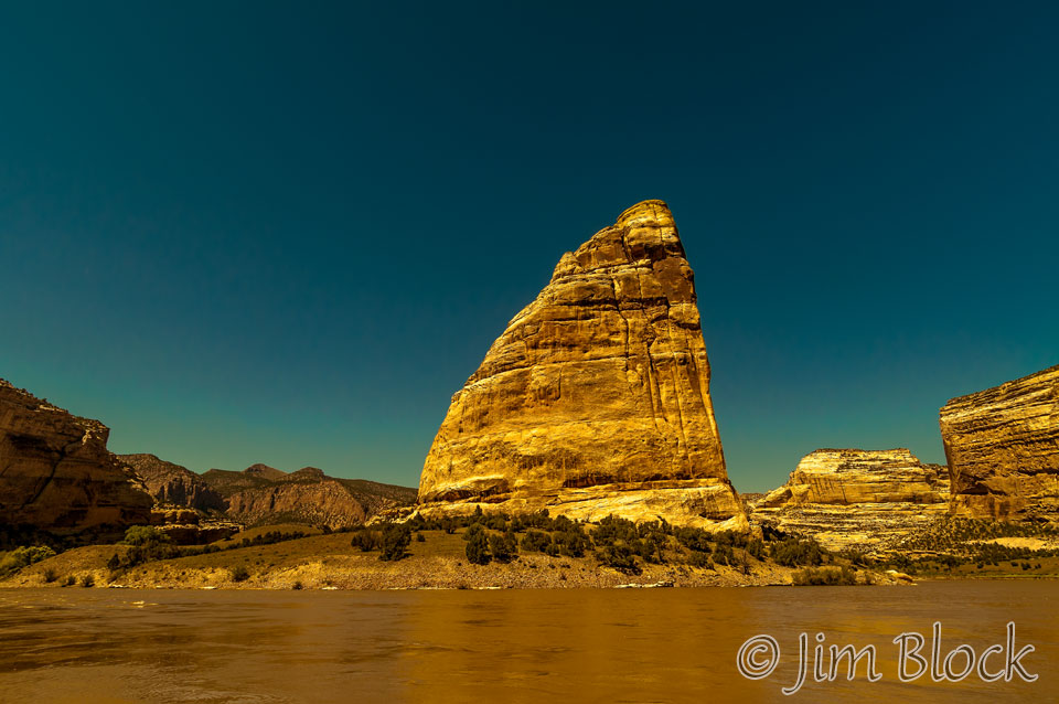
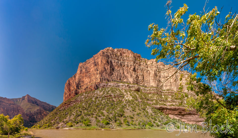
Downstream of Echo Park we entered Whirlpool Canyon. Here are three views from the beginning of the canyon looking back at the Mitten Park Fault.
Heather got caught in a whirlpool in Whirlpool Canyon,
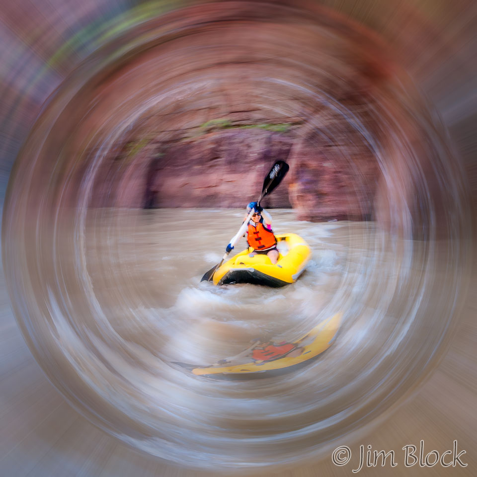
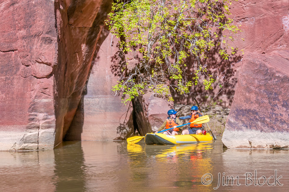
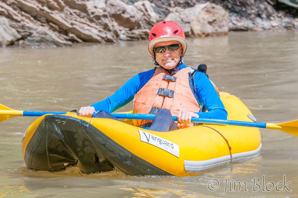
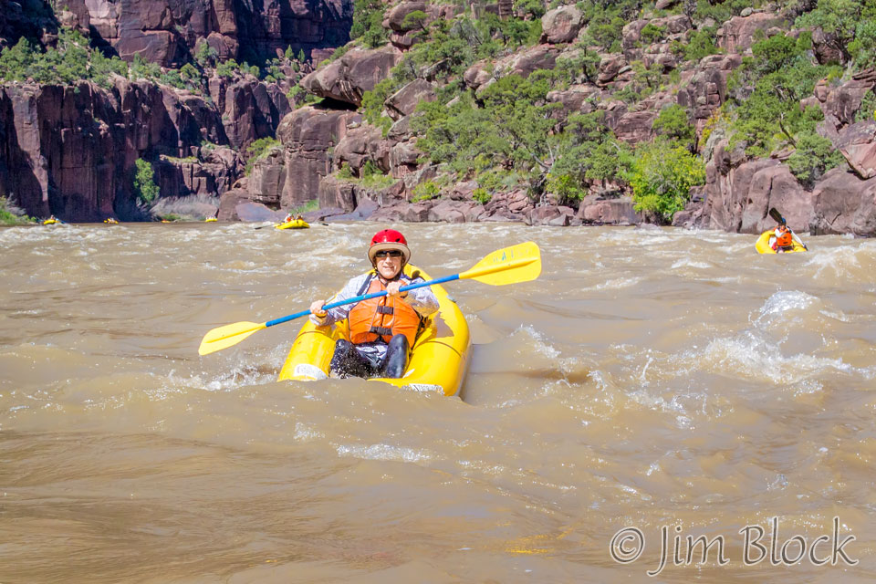
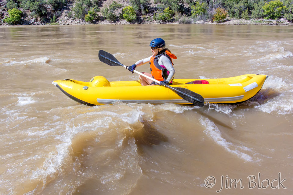
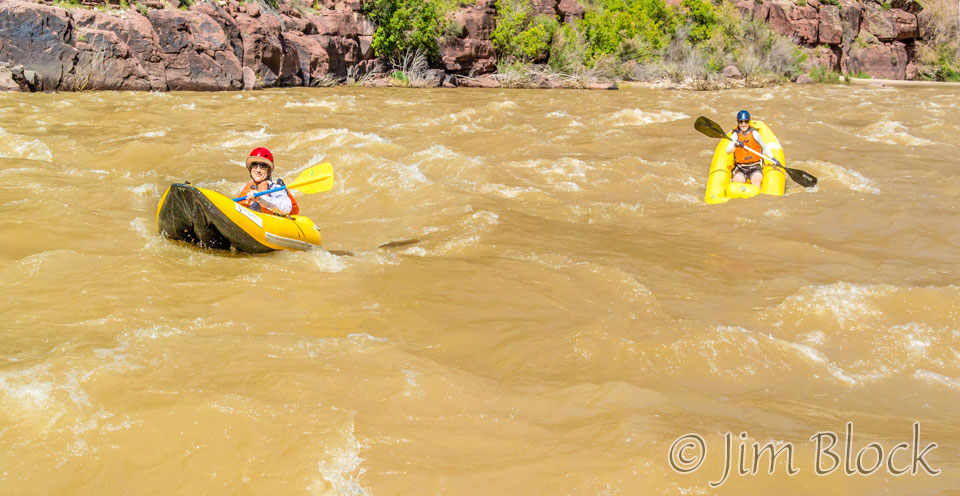
Heather, now riding a double duckie alone, and Stephen had fun rides through parts of Whirlpool Canyon.
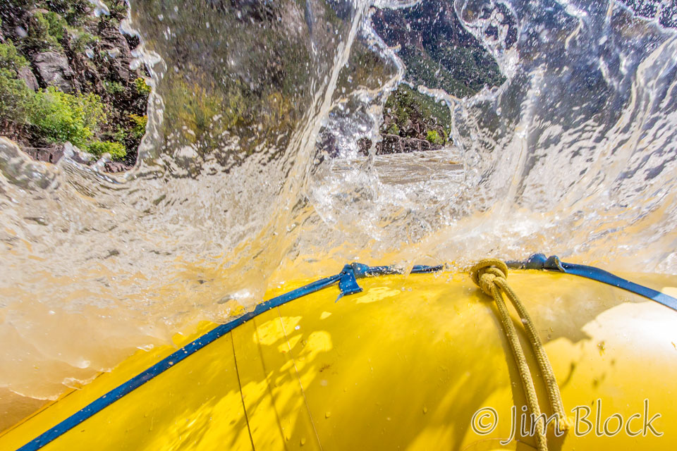
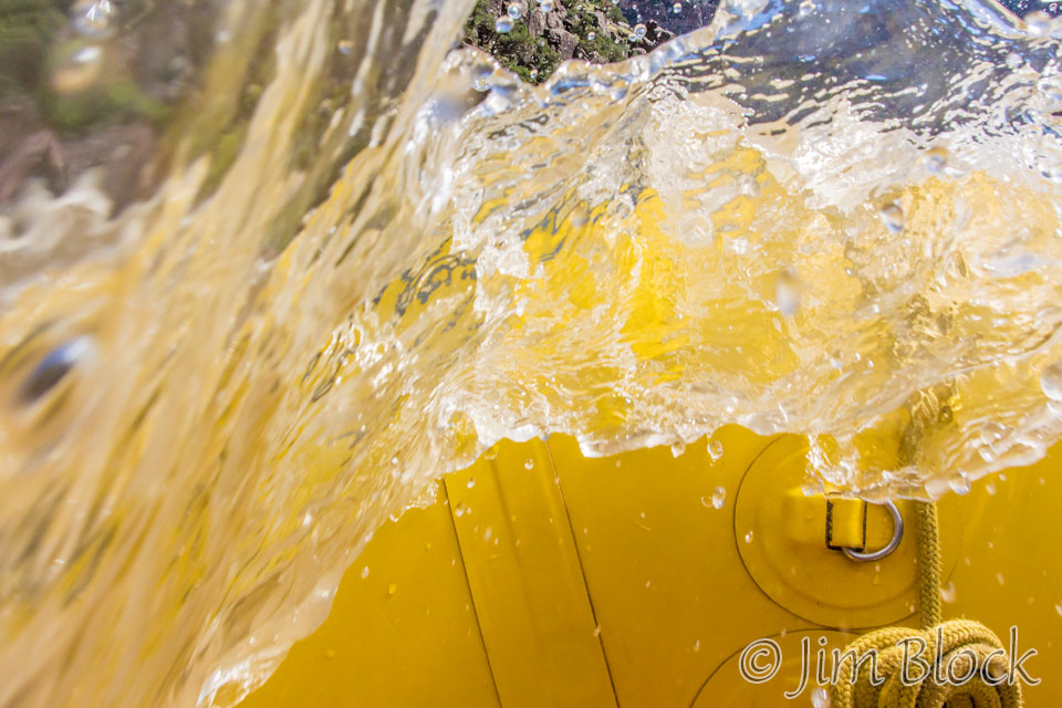
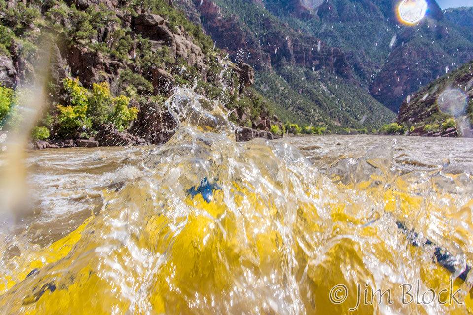
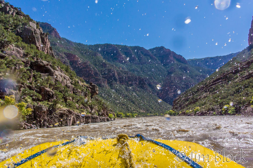
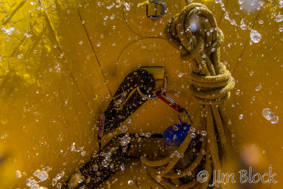
I got a sequence of a wave splashing me and my underwater camera.
Heather and Stephen had nice rides through Whirlpool Canyon.
Here is a view of Whirlpool Canyon looking downstream from Harper’s Corner. Our campsite at Jones Hole is at the far end of the visible part of the river.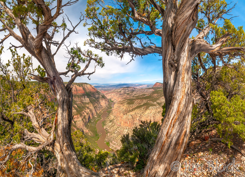
Here is a closer view of Whirlpool Canyon and Jones Hole Camps along the Green River from Harper’s Corner.
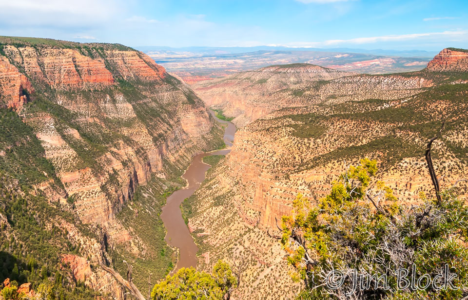
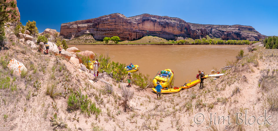
We landed at Jones Hole 2 Camp, just across the border in Utah. As Bruce said, we just went back in time 30 years.
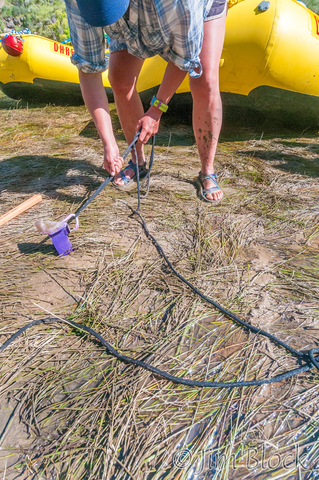
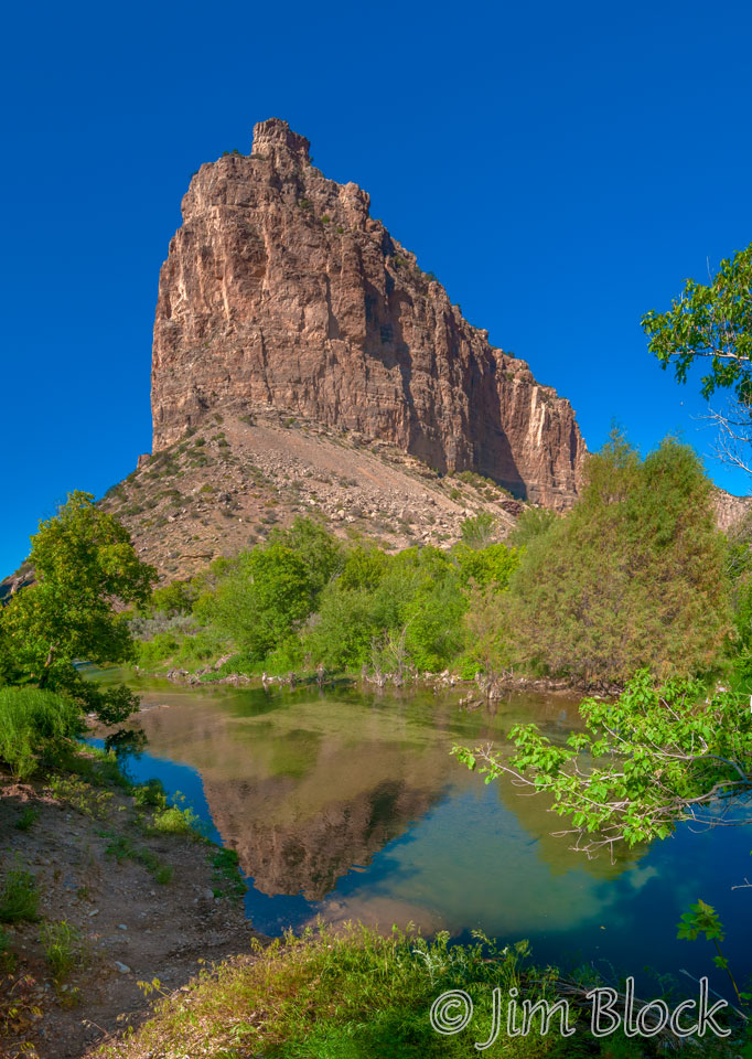
The landing spot was a bit muddy. After we passed all the bags and equipment up to the dining and camping areas I set up my pad and bag next to Jones Hole Creek and got this photo of an unnamed peak on the Colorado/Utah border.
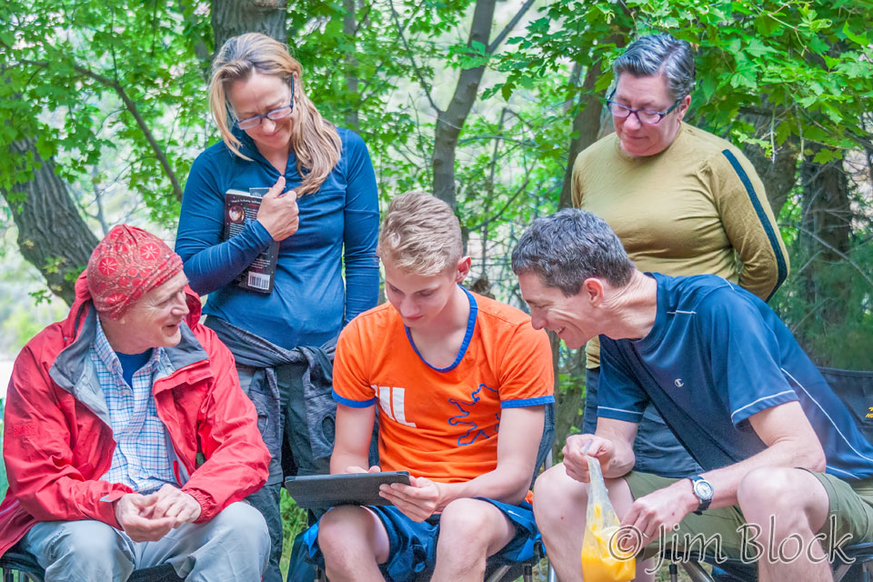
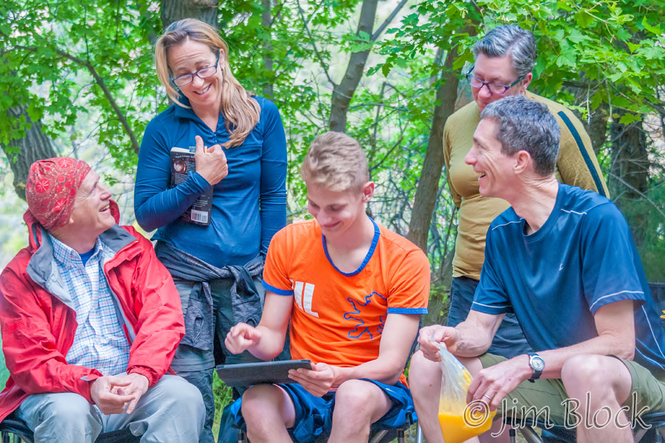
Stephen edited some photos on his iPad while waiting for dinner.
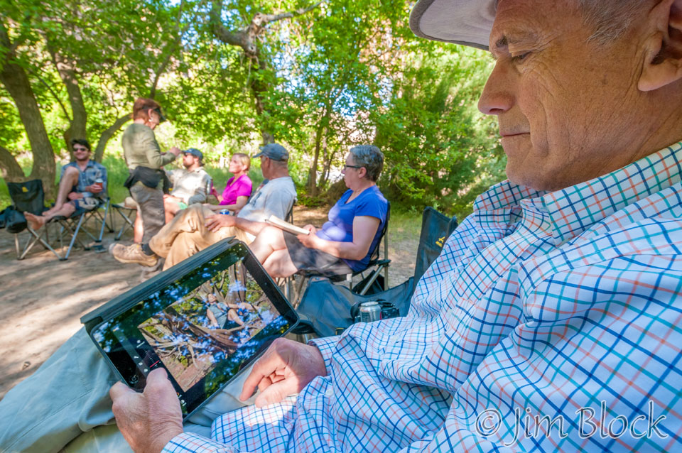
He then showed some of them to an appreciative group.
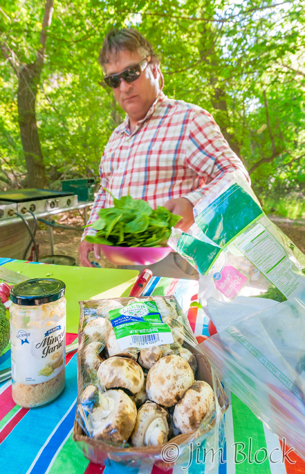
While Stefanie and Bruce fixed dinner …
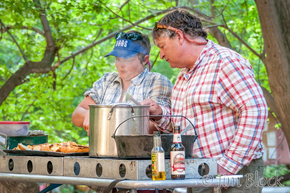
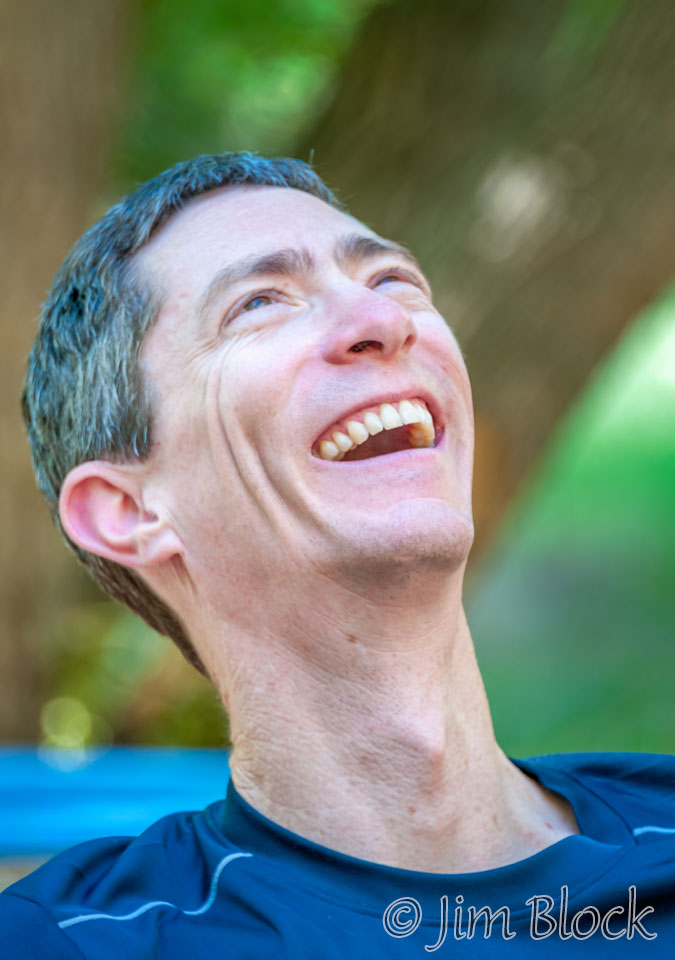
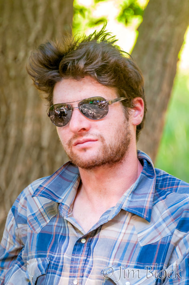
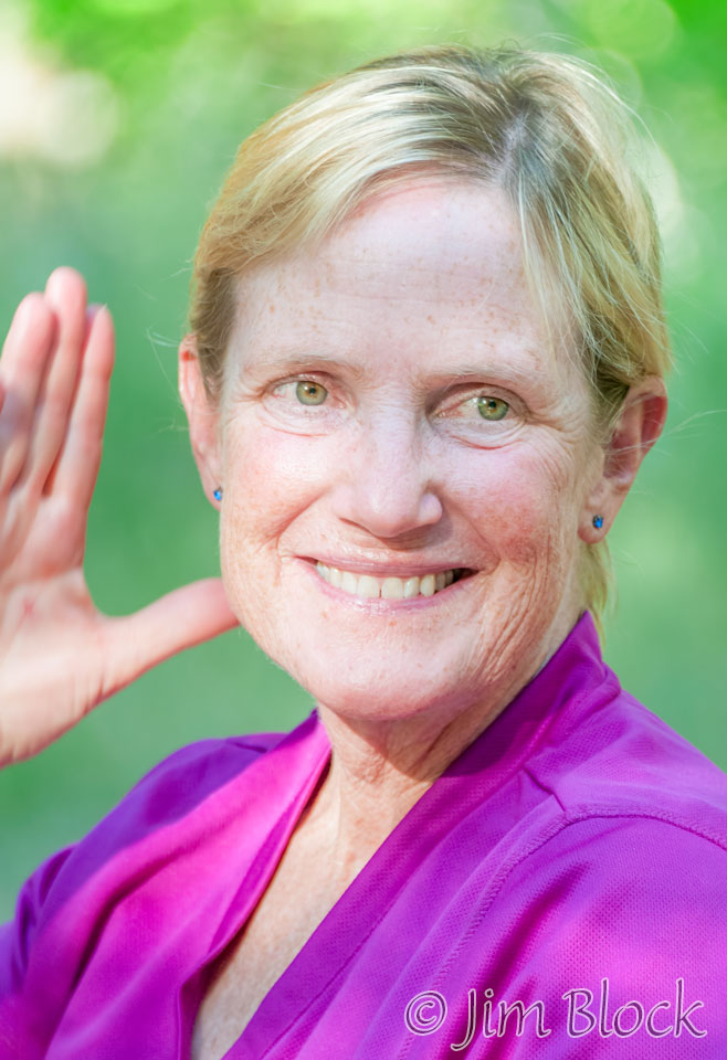
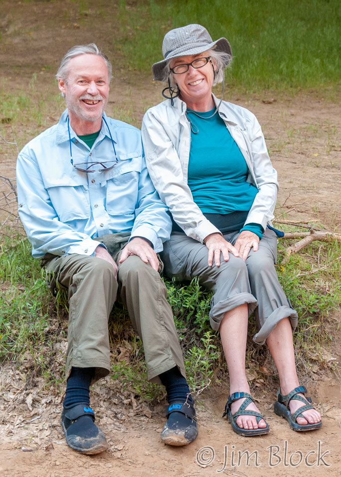
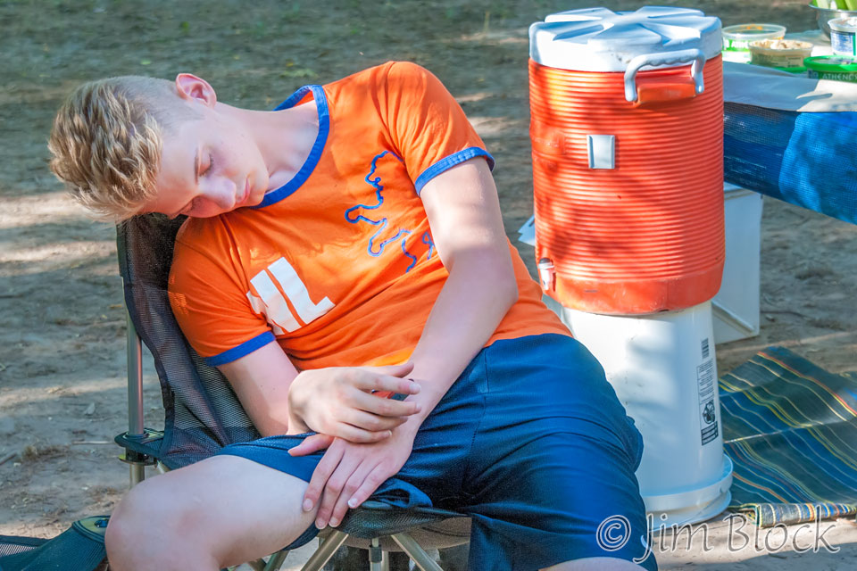
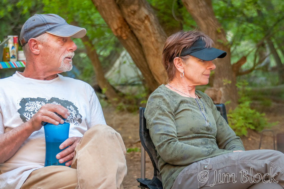
… I used the time to shoot some more candids.
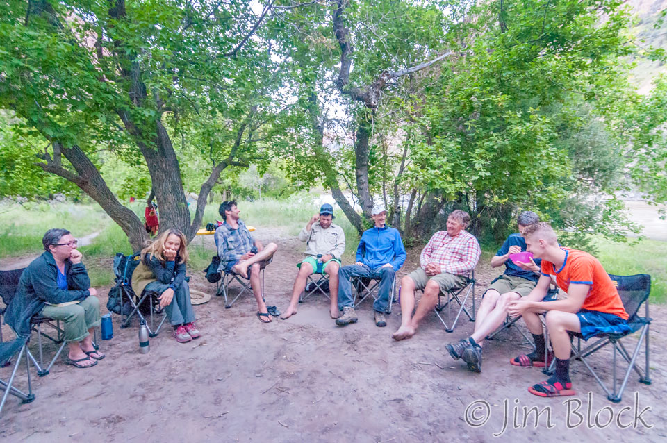
It was a relaxing evening in camp after dinner. It had been another great day.
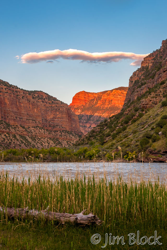
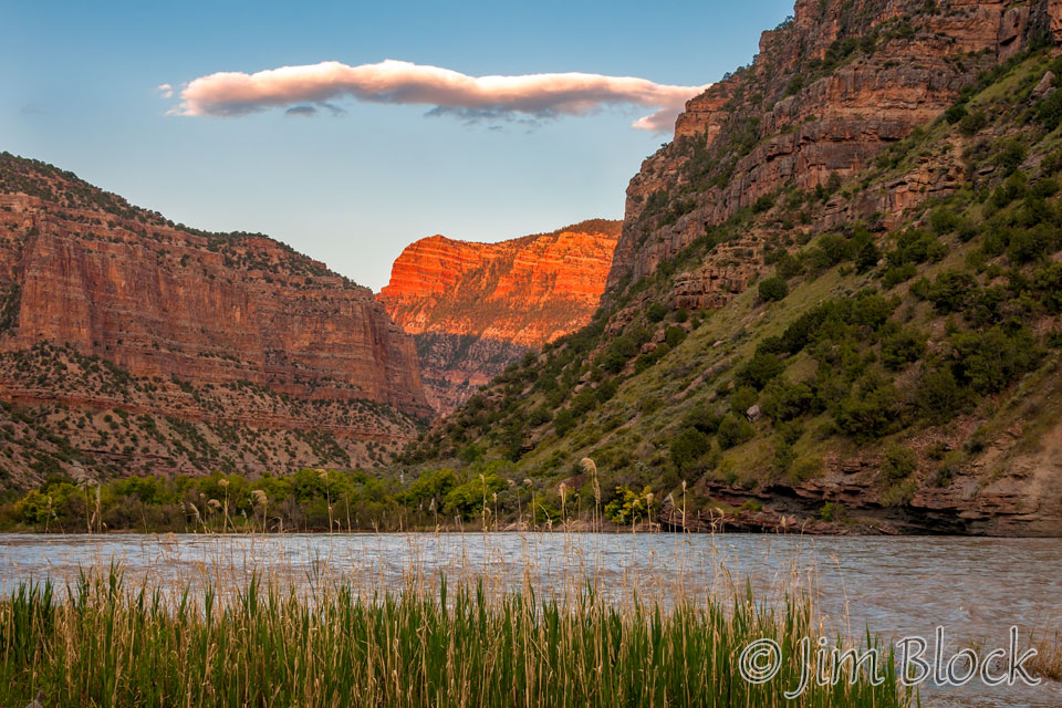
As the sun sets it lights up Harper’s Corner towering 2,500 feet above Jones Hole Camp.
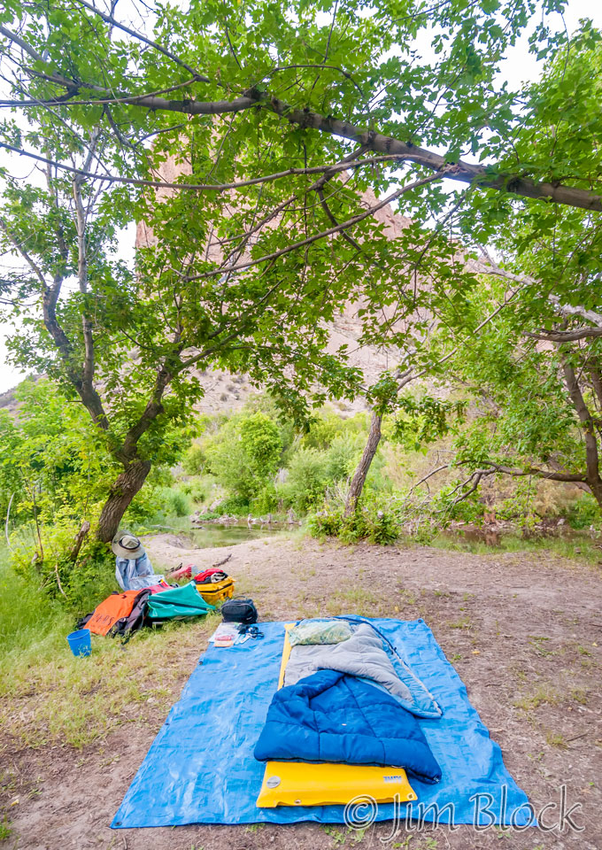
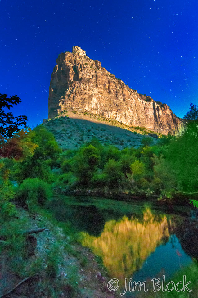
Here is where I bunked. I got the shot below from a few feet away at 11:16 pm. Those white dots in the sky are stars. The scene was lit by the moon.
Here are some of the other photos I took during our third day on the Green River.

